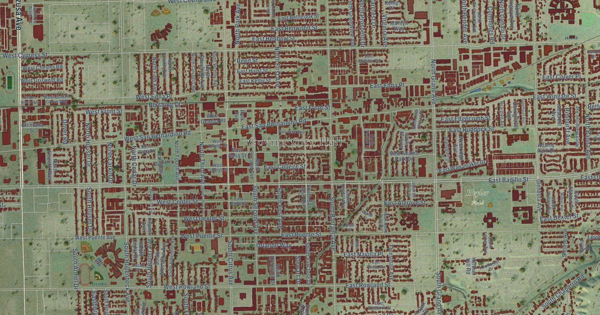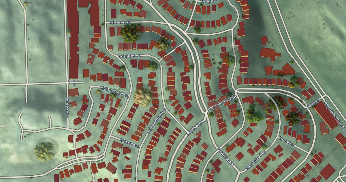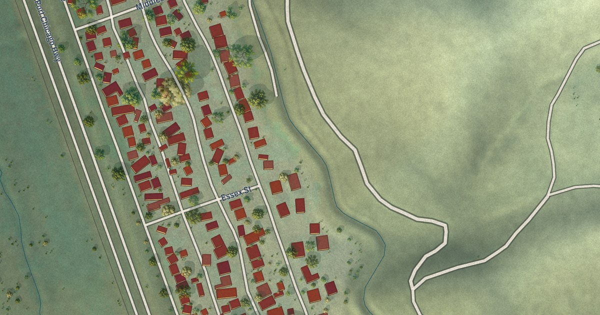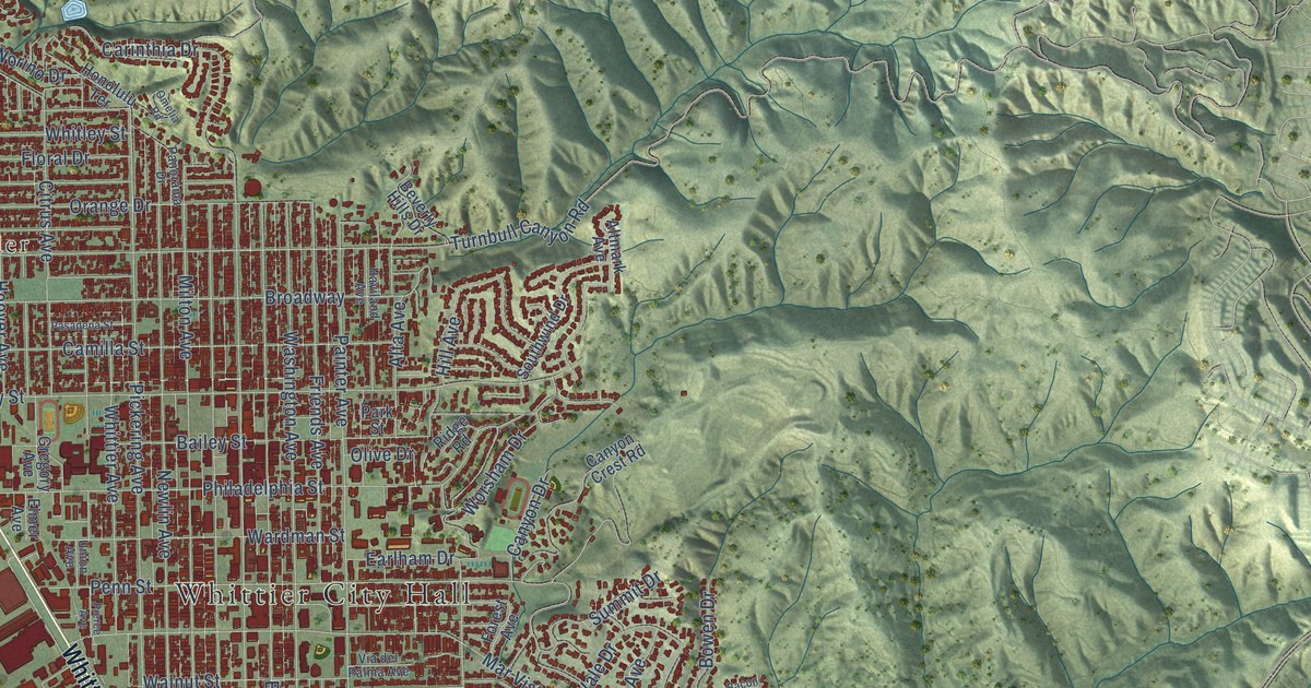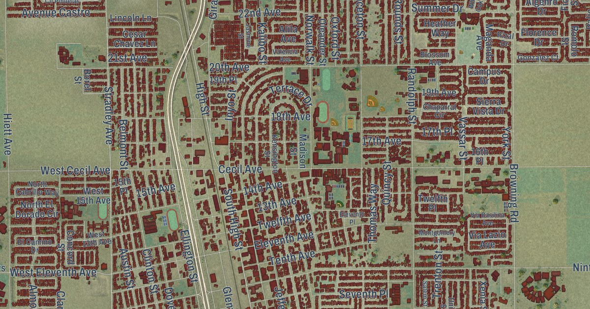
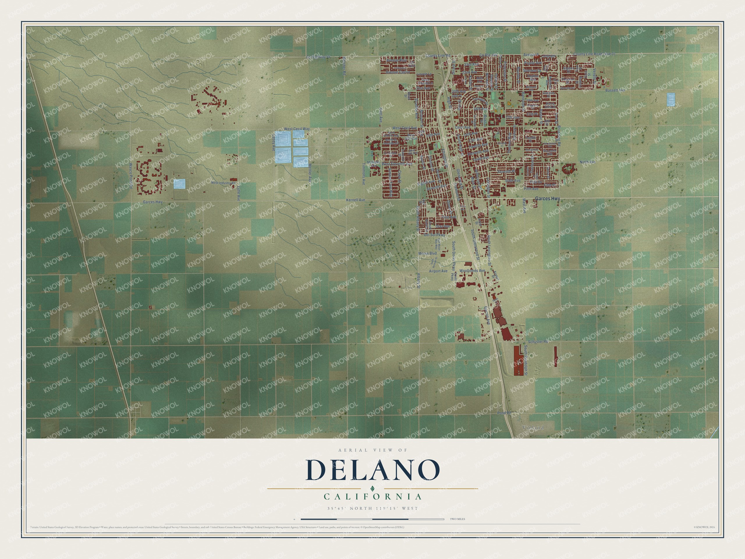
This beautifully detailed map of Delano, California was created in 2026 using aerial imagery combined with modern topographical, census, street and landmark data. It’s a one-of-a-kind view of Delano that combines accurate data with a vintage aesthetic. The map shows every building in its true location, many of the roads carry their names, and the shaded topographic relief shows the shape of the land.
Explore an aerial view of Delano, California
On the map you’ll find County Line Road (Ave 0) and Fifth Place, along with Garces Highway, County Highway 44, Randolph Street, Diaz Avenue, Mast Avenue, South Dover Parkway, Ellington Street, South Lexington Street, High Street, Schuster Road, and more. If you look closely you can even find your house accurately drawn in its correct location. Zoom in on the preview to look for yours.
Did you know this piece of Delano, California history?
From the City of Delano: "Delano was established in 1873 as a railroad town. The name of the community was provided by the Southern Pacific Railroad in tribute to Columbus Delano, the Secretary of the Interior of the United States at that time."
Take a closer look at the Delano map
Street and place names on the Delano, California map
These names are printed on the map of Delano, California.
Places: Vinland.
Streets and roads: Garces Highway, County Highway 44, Avenue 0, South Dover Parkway, Diaz Avenue, Browning Road, County Route J44, Ellington Street, Fremont Street, York Street, Albany Street, High Street.
More street names, A to Z
13th Avenue, 14th Avenue, 15th Avenue, 15th Place, 16th Place, 17th Avenue, 17th Place, 18th Avenue, 19th Avenue, 19th Place, 20th Avenue, 21st Avenue, 22nd Avenue, 23rd Avenue, Airport Avenue, Airport Drive, Algehro Drive, Alila Avenue, Almond Tree Way, Asti Street, Austin Street, Avenue Castro, Avenue Ruiz, Bassett Avenue, Belmont Street, Blossom Avenue, Borel Street, Campus Drive, Casey Avenue, Cecil Avenue, Cesar Chavez Lane, Chaparral Circle, Clark Street, Clinton Street, Cll Felix, Cll Pinuelas, Concord Street, County Line Road, Del Sol Parkway, Dover Parkway, Dover Place, Dover Street, Eighth Avenue, El Camino Drive, Eleventh Avenue, Eleventh Place, Fifth Avenue, Fifth Drive, Fifth Place, Fiori Street, First Avenue, Florence Drive, Front Street, Garzoli Avenue, Girard Street, Glenwood Street, Gonzalez Court, Half Moon Bay Way, Heather Way, Hiett Avenue, Inyo Street, Jasmine Street, Jefferson Street, Kalibo Street, Kensington Street, Kernell Avenue, Lamplight Lane, Lexington Street, Lincoln Lane, Lytle Avenue, Madison Street, Maganda Avenue, Main Street, Mast Avenue, Mathews Avenue, Melcher Road, Mettler Avenue, Montgomery Lane, Morse Boulevard, Ninth Avenue, North Cabrillo Way, North El Dorado Circle, Norwalk Street, Oleander Street, Oxford Street, Palio Street, Patton Street, Pond Road, Poplar Avenue, Princeton Street, Quincy Street, Quinn Court, Randolph Street, Rizal Drive, Romolo Street, Rounds Street, Salem Street, Schuster Road, Seventh Avenue, Seventh Place, Sierra Vista Drive, Sixth Avenue, South Albany Street, South Austin Street, South Belmont Street, South Glenwood Street, South High Street, South Lexington Street, South Randolph Street, Stradley Avenue, Summer Drive, Tenth Avenue, Terrace Drive, Third Avenue, Thomas Way, Timmons Avenue, Trenton Street, Twelfth Avenue, Twelfth Place, Union Street, Valencia Avenue, Vassar Street, Veneto Street, Via Basilica Avenue, Via Lazio Avenue, Wasco Pond Road, West 13th Avenue, West 15th Avenue, West Cecil Avenue, West Cecil Way, West Eleventh Avenue, West Industry Road, White Oak Drive, Woollomes Avenue, Xenia Street.
See the Delano, California map on a wall
The Delano map as an 18 x 24 inch print in a black frame.

This beautifully detailed map of Delano makes an attractive addition to your office, library, or den, and it can even be used to teach children the geography and history of the area. It also makes a great gift for someone who left Delano and still calls it home. When you’re done exploring, click here to get your copy of the Delano map.