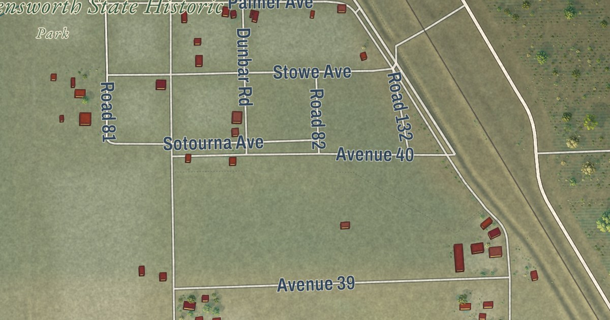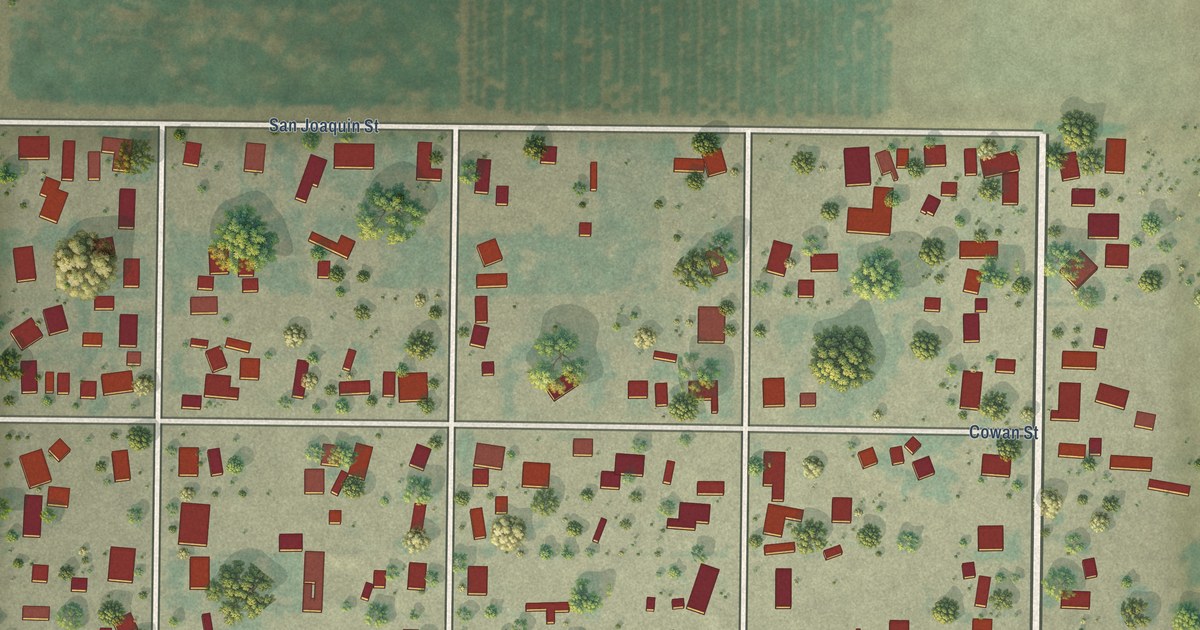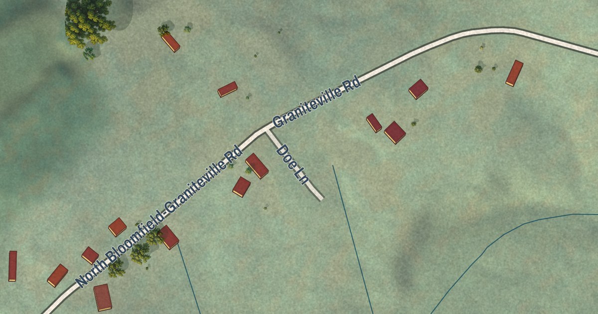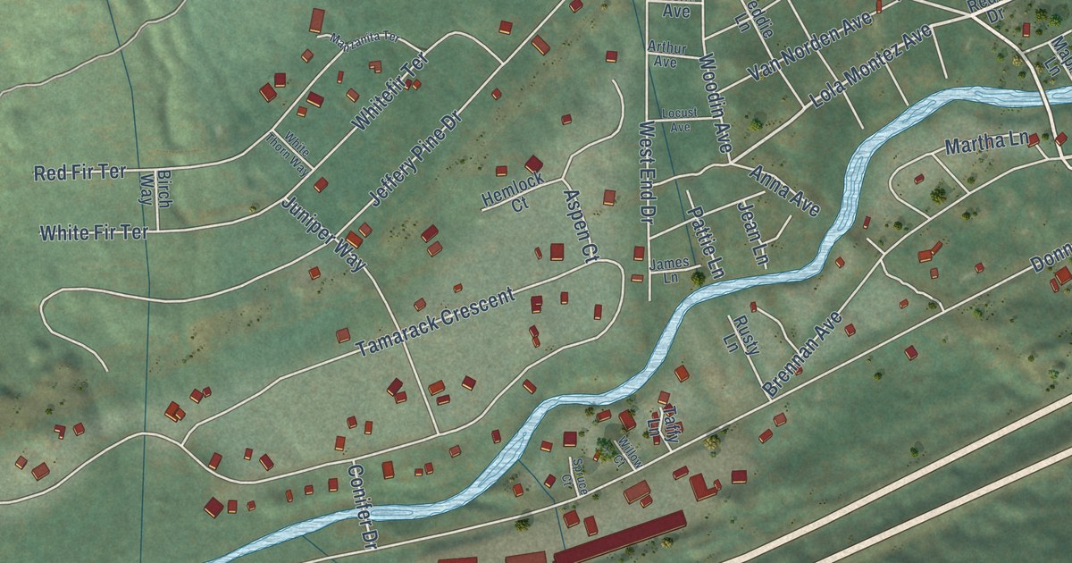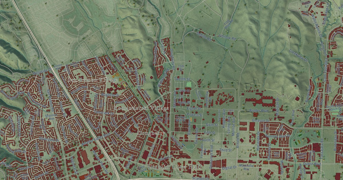
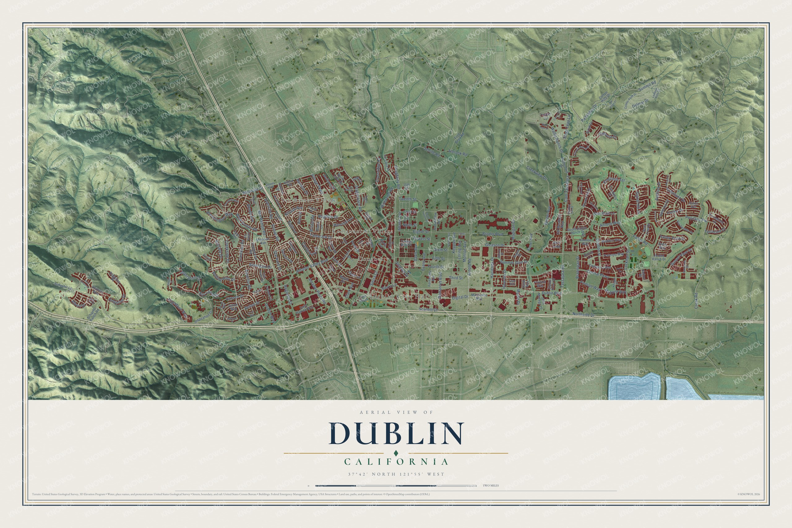
This beautifully detailed map of Dublin, California was created in 2026 using aerial imagery combined with modern topographical, census, street and landmark data. It’s a one-of-a-kind view of Dublin that combines accurate data with a vintage aesthetic. The map shows every building in its true location, many of the roads carry their names, and the shaded topographic relief shows the shape of the land.
Explore an aerial view of Dublin, California
On the map you’ll find Dublin City Hall, San Ramon Village, Dougherty, Komandorski Village, and Cam Tassajara, along with Digital Drive, Demarcus Boulevard, Tassajara Road, Arnold Road, Inspiration Circle, Village Parkway, Myrtle Drive, and more. If you look closely you can even find your house accurately drawn in its correct location. Zoom in on the preview to look for yours.
Did you know this about Dublin, California?
From the National Register of Historic Places: "Raymond's church stands in its original location as one of the few and earliest wood churches in Alameda County, and the only such church in Dublin, California."
Take a closer look at the Dublin map
Street and place names on the Dublin, California map
These names are printed on the map of Dublin, California.
Places: Dublin City Hall, San Ramon Village, Dougherty and Komandorski Village.
Streets and roads: Digital Drive, Demarcus Boulevard, Tassajara Road, Arnold Road, Inspiration Circle, Village Parkway, Cam Tassajara, Myrtle Drive, Powers Street, Valley Vista Drive, Clark Avenue, Fallon Road.
More street names, A to Z
15th Street, Adams Avenue, Albert Drive, Albrook Road, Alcosta Boulevard, Aldea Street, Amador Plaza Road, Amador Valley Boulevard, Amarillo Road, Antone Way, Ashford Way, Aspen Street, Atlas Peak Drive, Augusta Court, Avanti Avenue, Avellina Drive, Avery Way, Bandon Drive, Barner Avenue, Barner Boulevard, Bay Laurel Street, Bent Tree Drive, Betlen Drive, Bloomington Way, Brannigan Street, Brigadoon Way, Brighton Drive, Bristol Road, Brittany Drive, Brittany Lane, Broder Boulevard, Bryan Avenue, Burton Street, Calle Verde Road, Canterbury Lane, Capoterra Way, Cardiff Drive, Carneros Lane, Castilian Road, Cavalier Lane, Cedar Lane, Central Parkway, Cerreto Street, Circle Way, Civic Plaza, Colton Hills Drive, Cooper Peak Drive, Creekside Drive, Creekview Drive, Croak Road, Cronin Circle, Crossridge Road, Cydonia Court, Davis Avenue, Davona Drive, Deervale Road, Delmar Drive, Diana Lane, Dillon Way, Donlon Way, Donohue Drive, Dougherty Road, Dublin Boulevard, Eighth Street, Elgin Lane, Emerald Avenue, Evans Avenue, Fall Creek Road, Fawn Way, Fazio Terrace, Fenwick Way, Fernandez Avenue, Fifth Street, Finnian Way, Forino Drive, Fourth Street, Foxford Way, Frog Bend Road, Galway Court, Gardella Drive, Gleason Drive, Glynnis Rose Drive, Goodfellow Avenue, Grafton Street, Hacienda Drive, Hansen Drive, Haro Loop, Hawk Way, Hibernia Drive, Hutchins Avenue, Hyde Court, Inspiration Drive, Jade Circle, John Monego Court, Jones Street, Jordan Ranch Drive, Keegan Street, Kelly Canyon Drive, Kelton Street, Keppler Avenue, Kilrush Avenue, Kingsmill Terrace, Kohnen Way, Lancaster Road, Ledgewood Terrace, Lembert Hills Court, Lockhart Street, Loring Avenue, Madden Way, Madigan Drive, Maguire Way, Mansfield Avenue, Maple Drive, Martinelle Way, Monroe Avenue, Monterey Drive, Moorjani Street, Mulberry Place, Newfields Lane, Ninth Street, North Avenue, North Lake Drive, Northside Drive, Oak Bluff Lane, Oak Ridge Court, Old Westbury Way, Padre Way, Palermo Way, Palisades Drive, Panorama Drive, Penn Drive, Peppertree Road, Porcellano Lane, Portage Road, Positano Pw, Prince Drive, Prow Way, Quartz Circle, Rampart Drive, Regional Street, Reimers Way, Rhoda Avenue, Ridgeline Drive, Ridgeline Place, Rimini Lane, Rolling Hills Drive, Round Hill Drive, Rutherford Drive, Saint Patrick Way, Salerno Drive, San Ramon Road, Sara Lee Court, Scarlett Court, Scarlett Drive, Schaefer Lane, Schaefer Ranch Road, Sebille Road, Shadow Drive, Shadow Hill Drive, Shannon Avenue, Sierra Court, Sierra Lane, Signal Hill Drive, Silvera Ranch Drive, Silvergate Drive, Sixth Street, South Dublin Ranch Drive, South Lake Drive, South Twelfth Street, Stagecoach Road, Stags Leap Lane, Starward Drive, Summer Glen Drive, Summit Road, Sunset View Drive, Syrah Drive, Tamarack Drive, Tenth Street, Terracina Drive, Third Street, Timber Wolf Court, Topaz Circle, Trolan Lane, Turnberry Drive, Twelfth Street, Valentano Drive, Via Veneto Drive, Via Zapata, Vomac Road, Wallis Ranch Drive, Walnut Street, Westside Drive, West Vomac Road, Wicklow Lane, Wildwood Road, York Drive.
See the Dublin, California map on a wall
The Dublin map as an 18 x 24 inch print in a black frame.

This beautifully detailed map of Dublin makes an attractive addition to your office, library, or den, and it can even be used to teach children the geography and history of the area. It also makes a great gift for anyone who grew up in Dublin or moved away. When you’re done exploring, click here to get your copy of the Dublin map.