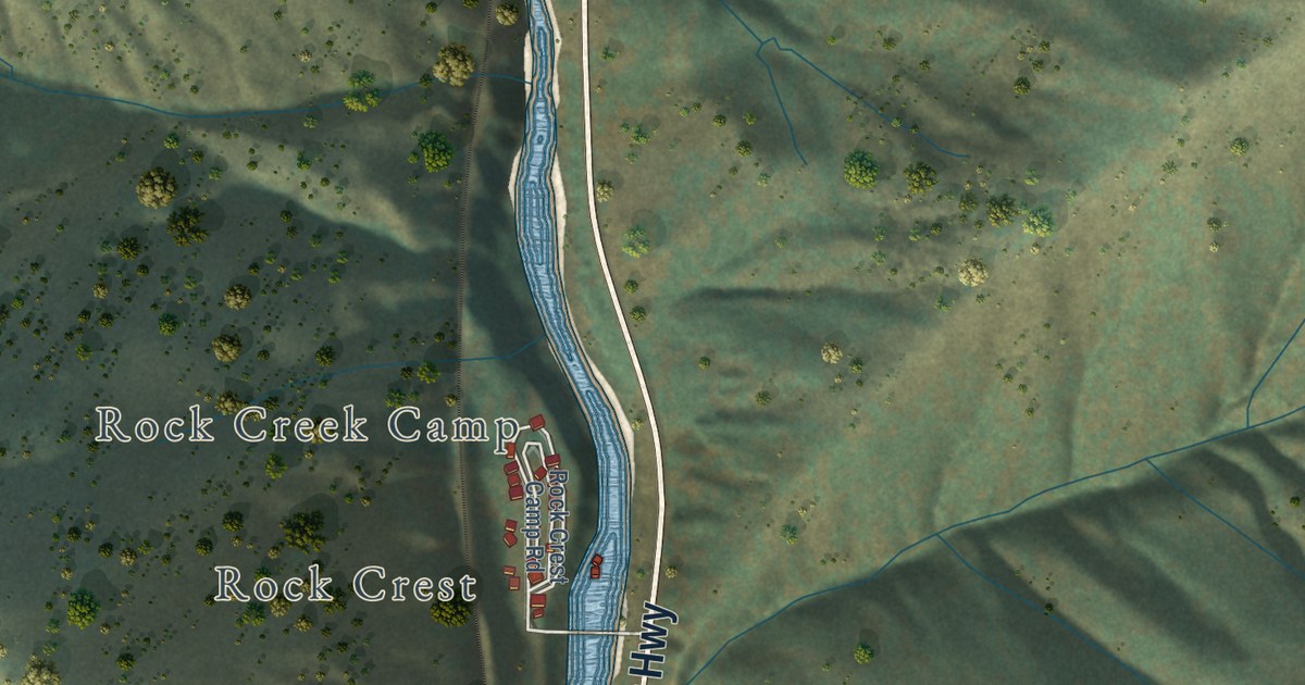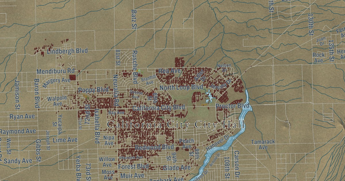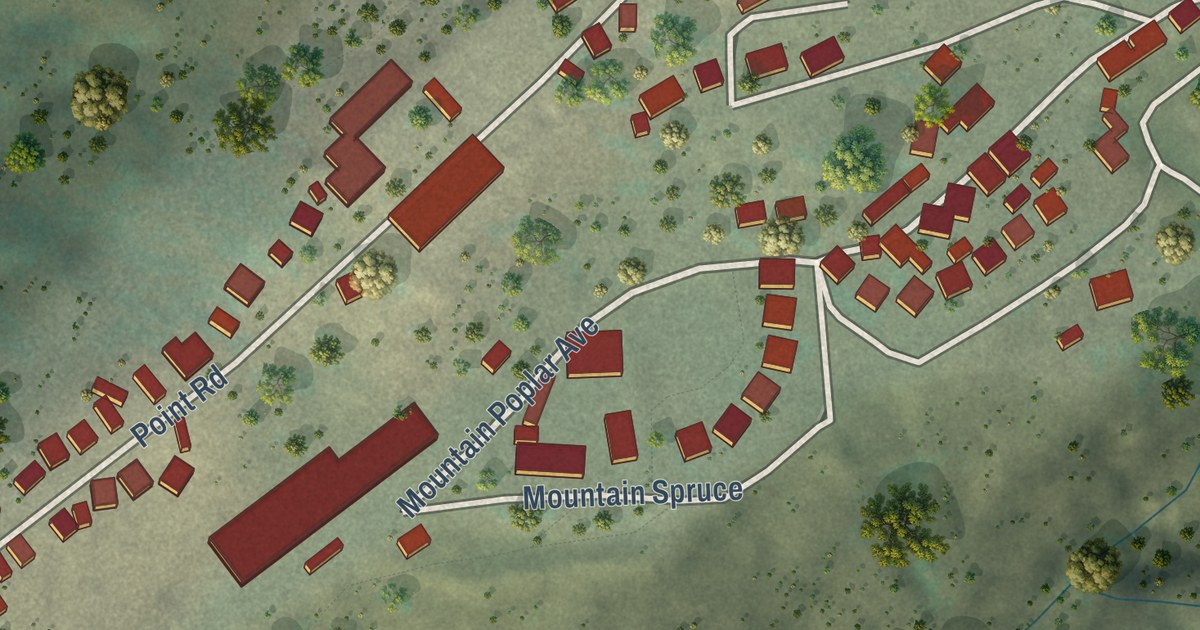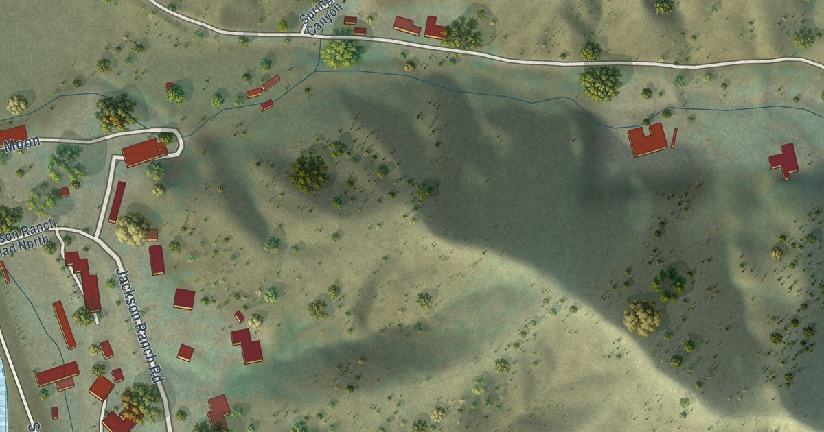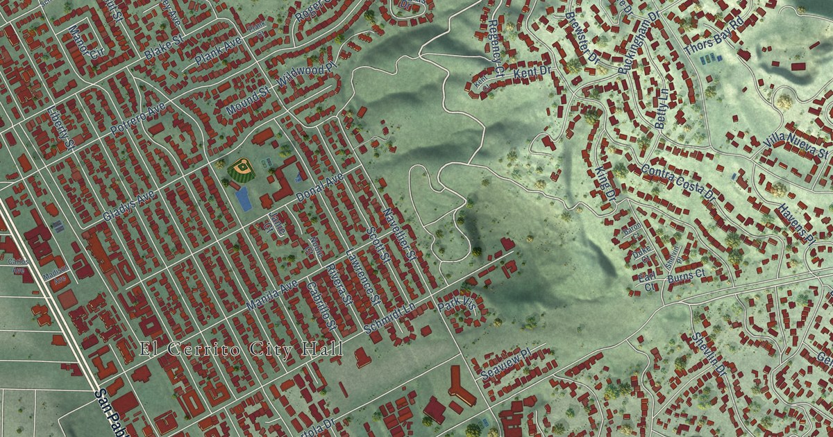
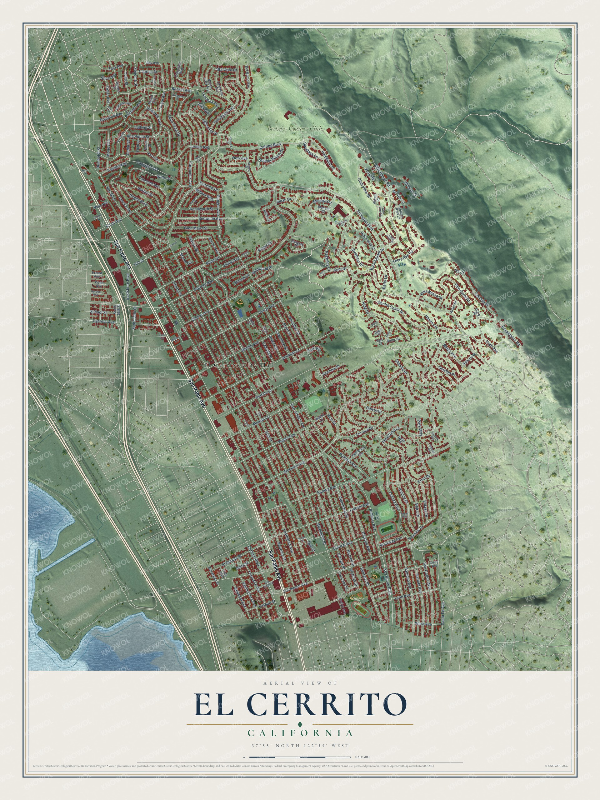
This beautifully detailed map of El Cerrito, California was created in 2026 using aerial imagery combined with modern topographical, census, street and landmark data. It’s a one-of-a-kind view of El Cerrito that combines accurate data with a vintage aesthetic. The map shows every building in its true location, many of the roads carry their names, and the shaded topographic relief shows the shape of the land.
Explore an aerial view of El Cerrito, California
On the map you’ll find El Cerrito City Hall, Cougar Field, Berkeley Country Club, and Leneve Place, along with San Pablo Avenue, Regency Court, Moeser Lane, Terrace Drive, Kensington Road, Rifle Range Road, Buckingham Drive, Victoria Street, and more. If you look closely you can even find your house accurately drawn in its correct location. Zoom in on the preview to look for yours.
Did you know this piece of El Cerrito, California history?
From Ohp.parks.ca.gov: "The El Cerrito adobe, as it was known because it was built near the north bank of El Cerrito Creek, was one of the adobes built by the Castro family on Rancho San Pablo."
Take a closer look at the El Cerrito map
Street and place names on the El Cerrito, California map
These names are printed on the map of El Cerrito, California.
Places: El Cerrito City Hall, Cougar Field and Berkeley Country Club.
Streets and roads: San Pablo Avenue, Regency Court, Moeser Lane, Terrace Drive, Kensington Road, Rifle Range Road, Buckingham Drive, Victoria Street, Leneve Place, Arlington Boulevard, Liberty Street, Richmond Street.
More street names, A to Z
Albemarle Street, Alta Punta Street, Alta Vista Drive, Alva Avenue, Alvarado Place, Arbor Drive, Ashbury Avenue, Atwell Road, Avila Place, Avila Street, Avis Drive, Balra Drive, Baron Court, Barrett Avenue, Bates Avenue, Behrens Street, Belmont Avenue, Bel View Court, Betty Lane, Blake Street, Bonnie Drive, Brewster Drive, Brooks Street, Burns Court, Cabrillo Street, Canyon Trail, Carlos Avenue, Carlson Boulevard, Carmel Avenue, Carquinez Avenue, Cedar Street, Central Avenue, Charles Street, Clark Place, Clayton Avenue, Club View Court, Club View Drive, Colusa Avenue, Conlon Avenue, Contra Costa Drive, Coronado Street, Craft Avenue, Curry Avenue, Cutting Boulevard, Cypress Avenue, Del Monte Avenue, Devonshire Drive, Donal Avenue, Don Carol Drive, Douglas Drive, Downey Place, Duke Court, Earl Court, East Ashbury Avenue, Eastshore Boulevard, Edith Street, Edwards Avenue, El Dorado Street, Ellerhorst Street, Elm Court, Elm Street, Ernest Avenue, Errol Drive, Eureka Avenue, Evelyn Avenue, Everett Street, Fairmount Avenue, Fairview Drive, Fern Street, Francisco Way, Galvin Drive, Ganges Avenue, Gatto Street, Gelston Place, Gladys Avenue, Glen Mawr Street, Gloria Street, Gordon Avenue, Hagen Boulevard, Hancock Way, Harper Street, Harris Avenue, Harvard Street, Havens Place, Hillside Avenue, Hill Street, Hotchkiss Avenue, Humboldt Street, Irma Street, Ivy Court, Janie Court, Jordan Avenue, Julian Court, Julian Drive, Junction Avenue, Kearney Street, Kenilworth Street, Kent Court, Kent Drive, Key Boulevard, Key Route Boulevard, King Drive, Knott Avenue, Lagunitas Street, La Honda Avenue, Lassen Street, Lawrence Street, Leviston Avenue, Lexington Avenue, Liberty Court, Lincoln Avenue, Linda Vista Drive, Ludwig Street, Lynn Avenue, Macdonald Avenue, Madera Circle, Madera Court, Madison Avenue, Maiden Lane, Manila Avenue, Manor Circle, Midcrest Way, Mira Vista Drive, Mono Avenue, Monte Vista Avenue, Mound Street, Nason Avenue, Navellier Street, Noble Court, Norvell Street, Oak Street, Ohio Street, Park Vis, Park Way, Pebble Beach Drive, Pinehurst Court, Plank Avenue, Plank Court, Poinsett Avenue, Pomona Avenue, Portola Drive, Potrero Avenue, Ramona Avenue, Ray Avenue, Rivera Street, Roberta Drive, Rockway Avenue, Roger Court, Rosalind Avenue, San Carlos Avenue, San Diego Street, San Mateo Street, Santa Clara Avenue, Santa Fe Avenue, Scenic Street, Schmidt Lane, School, School Street, Scott Street, Seaview Drive, Seaview Place, Shelvin Place, Shevlin Drive, Silva Avenue, Snowdon Avenue, Sonoma Street, South 55th Street, South 56th Street, Spyglass Lane, Stockton Avenue, Summit Park Lane, Susan Avenue, Tamalpais Avenue, Tapscott Avenue, Tassajara Avenue, Thors Bay Road, Tulare Avenue, Tuller Avenue, Verjane Avenue, Victor Avenue, View Avenue, Village Drive, Villa Nueva Street, Vista Road, Waldo Avenue, Waldo Lane, Wall Avenue, Walnut Street, Ward Avenue, Wesley Avenue, Wildcat Drive, Wildwood Place, Willow Street, Wilson Way, Yolo Avenue, Yosemite Avenue, Yuba Street, Zara Avenue.
See the El Cerrito, California map on a wall
The El Cerrito map as an 18 x 24 inch print in a black frame.

This beautifully detailed map of El Cerrito makes an attractive addition to your office, library, or den, and it can even be used to teach children the geography and history of the area. It also makes a great gift for someone who left El Cerrito and still calls it home. When you’re done exploring, click here to get your copy of the El Cerrito map.