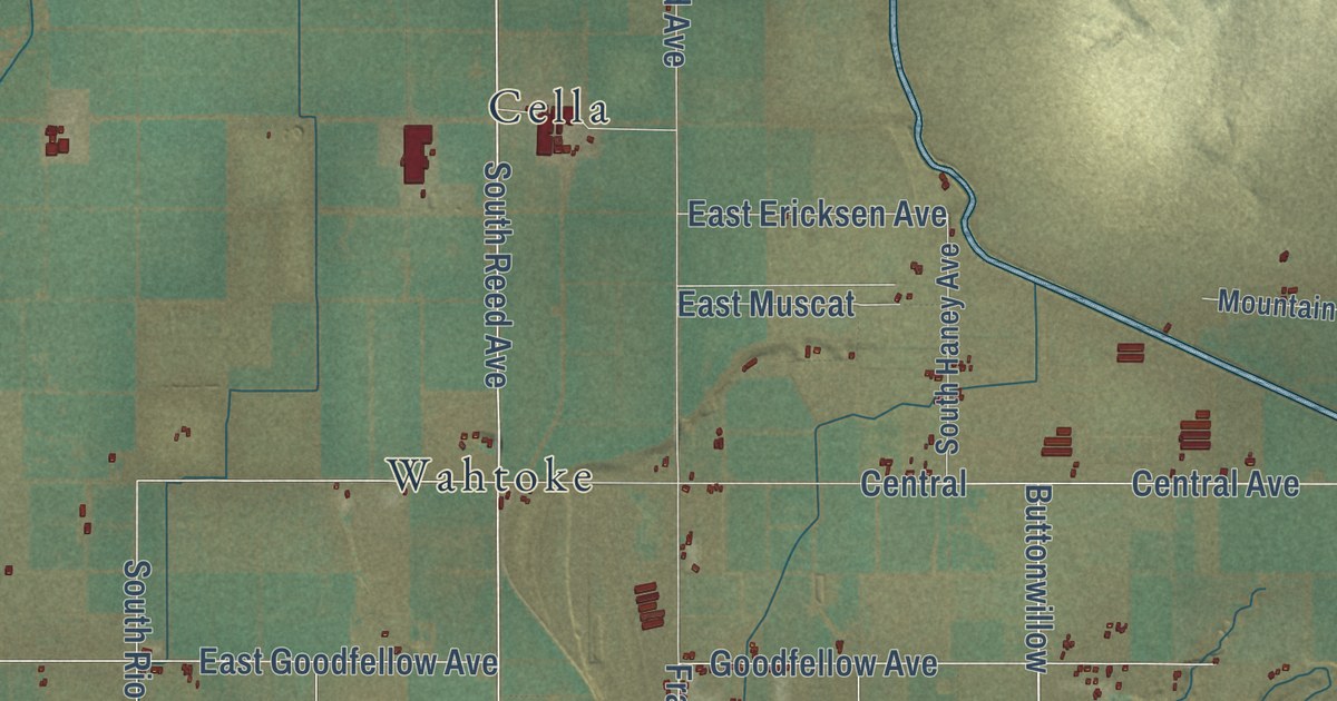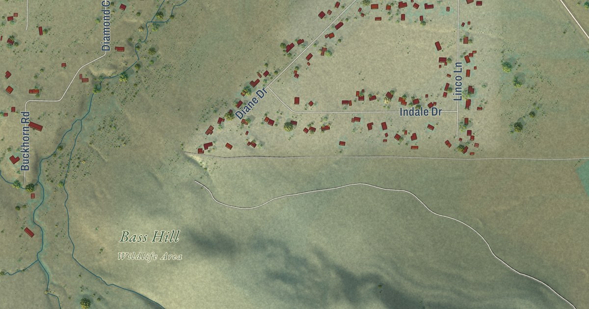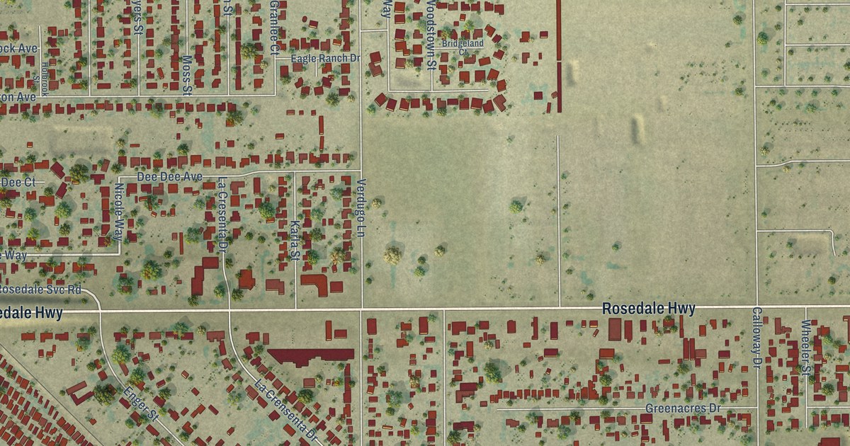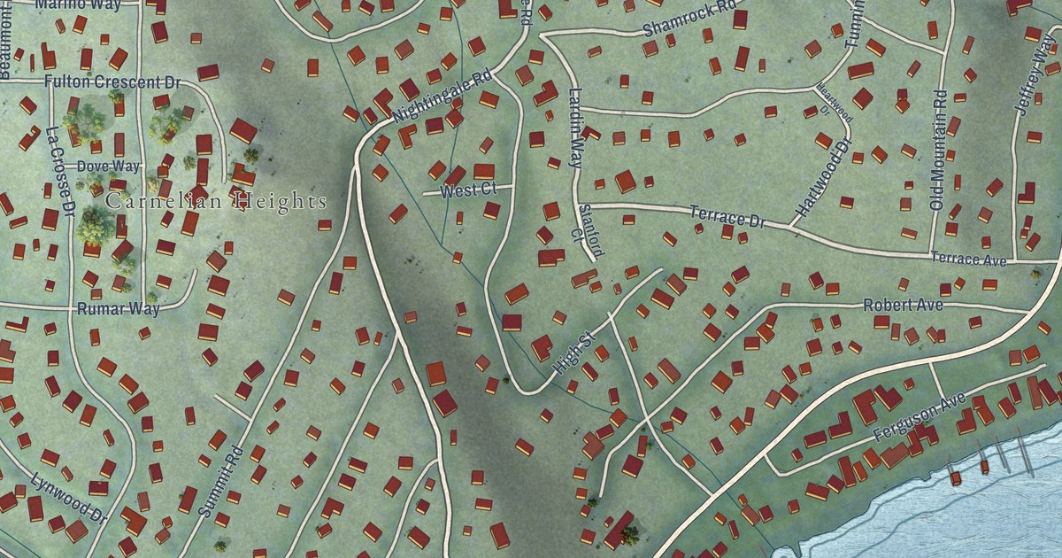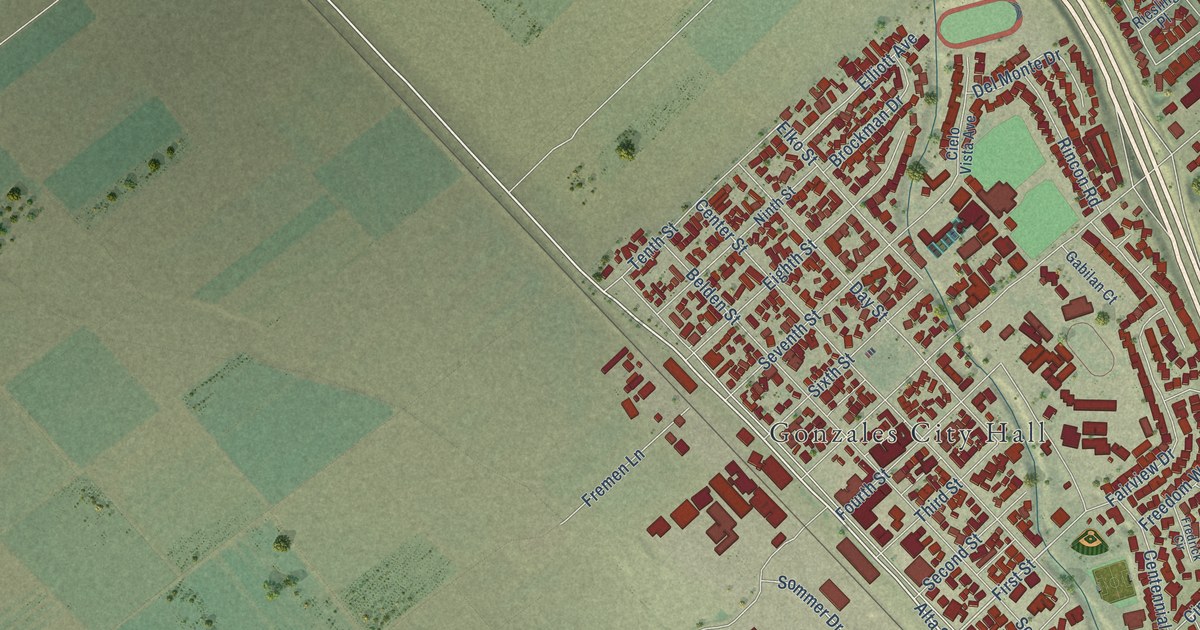
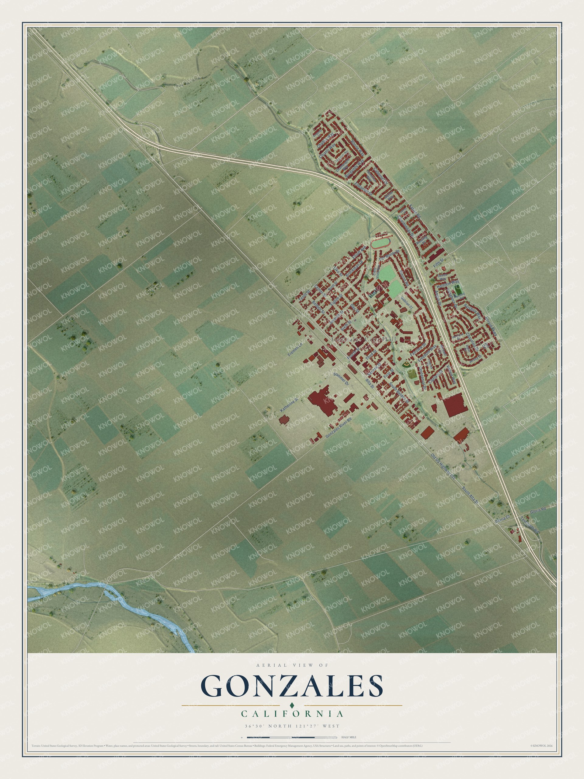
This beautifully detailed map of Gonzales, California was created in 2026 using aerial imagery combined with modern topographical, census, street and landmark data. It’s a one-of-a-kind view of Gonzales that combines accurate data with a vintage aesthetic. The map shows every building in its true location, many of the roads carry their names, and the shaded topographic relief shows the shape of the land.
Explore an aerial view of Gonzales, California
On the map you’ll find Gonzales City Hall, along with Old US Highway 101, Fanoe Road, Alta Street, South Alta Street, First Street, Rhone Way, Angus Drive, Fifth Street, Herold Parkway, Belden Street, Center Street, and more. If you look closely you can even find your house accurately drawn in its correct location. Zoom in on the preview to look for yours.
Did you know this piece of Gonzales, California history?
From the Monterey County Historical Society: "The original town, consisting of 50 blocks, was planned in 1874 by Mariano and Alfredo Gonzales on the land granted to their father, Teodoro Gonzales, in 1836."
Take a closer look at the Gonzales map
Street and place names on the Gonzales, California map
These names are printed on the map of Gonzales, California.
Places: Gonzales City Hall.
Streets and roads: Old US Highway 101, Fanoe Road, Alta Street, South Alta Street, First Street, Rhone Way, Angus Drive, Fifth Street, Herold Parkway, Belden Street, Center Street, Burgundy Way.
More street names, A to Z
Ayrshire Way, Brockman Drive, Burgundy Circle, Cabernet Drive, Centennial Drive, Chablis Way, Champagne Way, Chardonnay Drive, Charolais Drive, Chianti Way, Cielo Vista Avenue, Cipriani Street, Day Street, Del Monte Drive, Devon Way, Eighth Street, Elko Street, Elliott Avenue, Fairview Drive, Fourth Street, Fredrick Circle, Freedom Way, Fremen Lane, Gabilan Court, Gamay Place, Gloria Court, Gloria Road, Gonzales River Road, Hereford Drive, Holstein Way, Jersey Drive, Juri Circle, Katherine Street, Longhorn Drive, Merlot Way, Michael Circle, Mustang Way, Ninth Street, Riesling Place, Rincon Road, Ripley Circle, Second Street, Semillion Way, Seventh Street, Sixth Street, Sommer Drive, South Belden Street, Spumante Way, Tavernetti Road, Tenth Street, Third Street, Venice Way, Zinfandel Drive.
See the Gonzales, California map on a wall
The Gonzales map as an 18 x 24 inch print in a black frame.

This beautifully detailed map of Gonzales makes an attractive addition to your office, library, or den, and it can even be used to teach children the geography and history of the area. It also makes a great gift for someone who left Gonzales and still calls it home. When you’re done exploring, click here to get your copy of the Gonzales map.