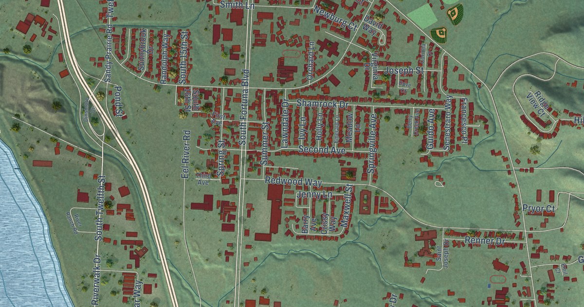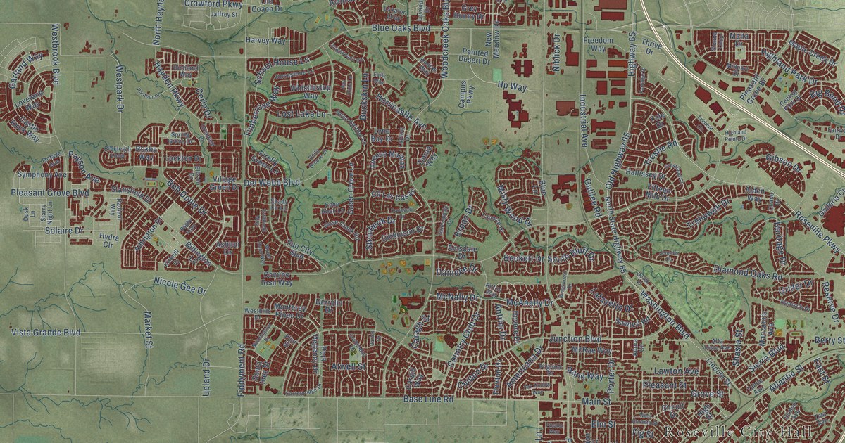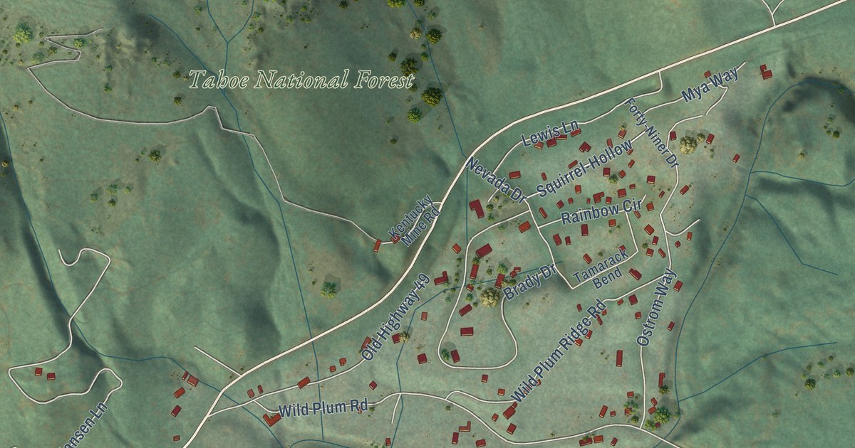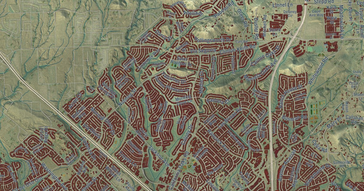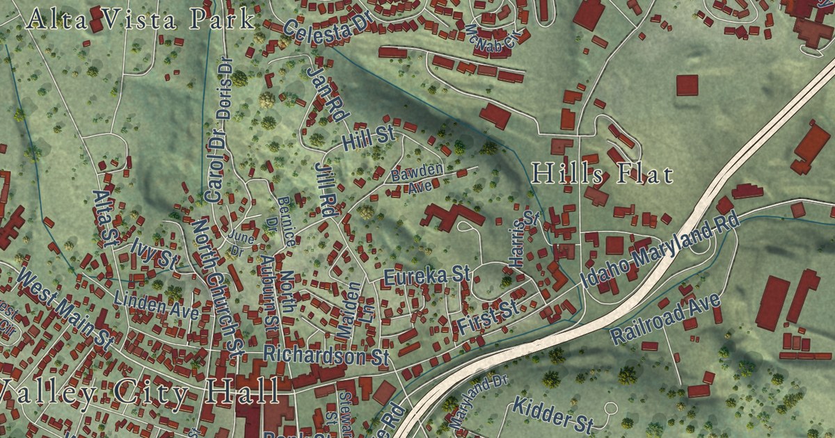
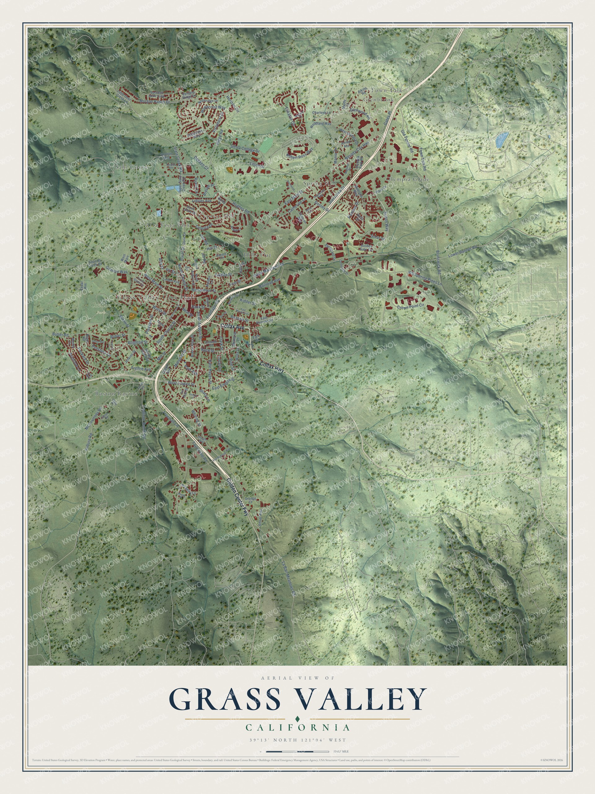
This beautifully detailed map of Grass Valley, California was created in 2026 using aerial imagery combined with modern topographical, census, street and landmark data. It’s a one-of-a-kind view of Grass Valley that combines accurate data with a vintage aesthetic. The map shows every building in its true location, many of the roads carry their names, and the shaded topographic relief shows the shape of the land.
Explore an aerial view of Grass Valley, California
On the map you’ll find Grass Valley City Hall, Condon Park, Elm Ridge Cemetery, Alta Vista Park, Boston Ravine, Cypress Hill, Glenbrook, Hills Flat, Olympia Glade, Spring Hill, and Town Talk, along with Sahl Court, and more. If you look closely you can even find your house accurately drawn in its correct location. Zoom in on the preview to look for yours.
Did you know this piece of Grass Valley, California history?
From the History of Nevada County: "In August or September, 1850, a man named Morey opened the first store in Grass Valley proper."
Take a closer look at the Grass Valley map
Street and place names on the Grass Valley, California map
These names are printed on the map of Grass Valley, California.
Places: Grass Valley City Hall, Condon Park, Town Talk, Spring Hill, Cypress Hill, Boston Ravine, Olympia Glade, Alta Vista Park, Sahl Court, Glenbrook and Hills Flat.
Streets and roads: Colfax Avenue, Golden Center Fwy, Colfax Highway, Sutton Way, South Auburn Street, West Empire Street, North Church Street, Carol Drive, Brunswick Road, West Main Street, East Main Street, Slate Creek Road.
More street names, A to Z
Allison Ranch Road, Alta Street, Amsel Way, Annex Avenue, Ascot Place, Atkins Road, Auburn Road, Badger Lane, Bank Street, Barby Drive, Bawden Avenue, Bennett Street, Bernice Drive, Blight Road, Brentwood Drive, Bresee Place, Brighton Street, Buena Vista Street, Butler Road, Butler Street, Catherine Lane, Cedar Avenue, Celesta Drive, Centennial Drive, Charlene Lane, Clark Street, Cliffs Place, Conaway Avenue, Crown Point Circle, Deeken Court, Depot Street, Doris Drive, Dorsey Drive, Douglas Avenue, East Bennett Road, East Empire Street, East Maryland Drive, East McKnight Way, Eskaton Circle, Eureka Street, Fawcett Street, First Street, Forest Glade Circle, Freeman Lane, French Avenue, Frontage Road, Gates Place, Genes Road, Gilmore Way, Glasson Way, Glenwood Road, Golden Avenue, Golden Gate Terrace, Grange Court, Harris Street, Hill Street, Holbrooke Way, Holly Drive, Horizon Circle, Hughes Road, Idaho Maryland Road, Ivy Street, Jan Road, Jenkins Street, Jill Road, Joerschke Drive, Juan Way, June Drive, Kate Hayes Street, Kidder Street, La Barr Meadows Road, Le Duc Street, Lidster Avenue, Linden Avenue, Little Deer Creek Lane, Litton Drive, Lower Banner Road, Lucas Lane, Madrone Way, Maiden Lane, Maidu Lane, Mallard Drive, Maltman Drive, Manor Drive, Marshall Street, Maryland Drive, McCourtney Road, McNab Circle, Memorial Lane, Mill Street, Minnie Street, Morgan Ranch Drive, Neal Street, Nevada City Highway, North Auburn Street, Northridge Drive, Ocean Avenue, Old Tunnel Road, Olympia Park Road, Ophir Street, Packard Drive, Pampas Drive, Park Avenue, Park Street, Pelton Way, Penstock Drive, Picadilly Lane, Pine Street, Plaza Drive, Pleasant Street, Primrose Lane, Race Street, Railroad Avenue, Rhode Island Street, Richardson Street, Ridge Road, Robert Ross Way, Ryans Lane, Saint Johns Drive, Segsworth Way, Sierra College Drive, Solar Drive, South Church Street, South School Street, Spree Avenue, Spring Hill Drive, Squirrel Creek Road, Stacy Lane, Stewart Street, Success Mine Loop, Taylorville Road, Temby Street, Town Talk Road, Upper Slate Creek Road, Ventana Ridge Lane, Vernon Way, Village Way, Vistamont Drive, Walsh Street, Wendy Circle, West Main, West Olympia Drive, Whispering Pines Lane, Whiting Street, Wiley Lane, Woodcrest Way, Woodland Way.
See the Grass Valley, California map on a wall
The Grass Valley map as an 18 x 24 inch print in a black frame.

This beautifully detailed map of Grass Valley makes an attractive addition to your office, library, or den, and it can even be used to teach children the geography and history of the area. It also makes a great gift for anyone who grew up in Grass Valley or moved away. When you’re done exploring, click here to get your copy of the Grass Valley map.