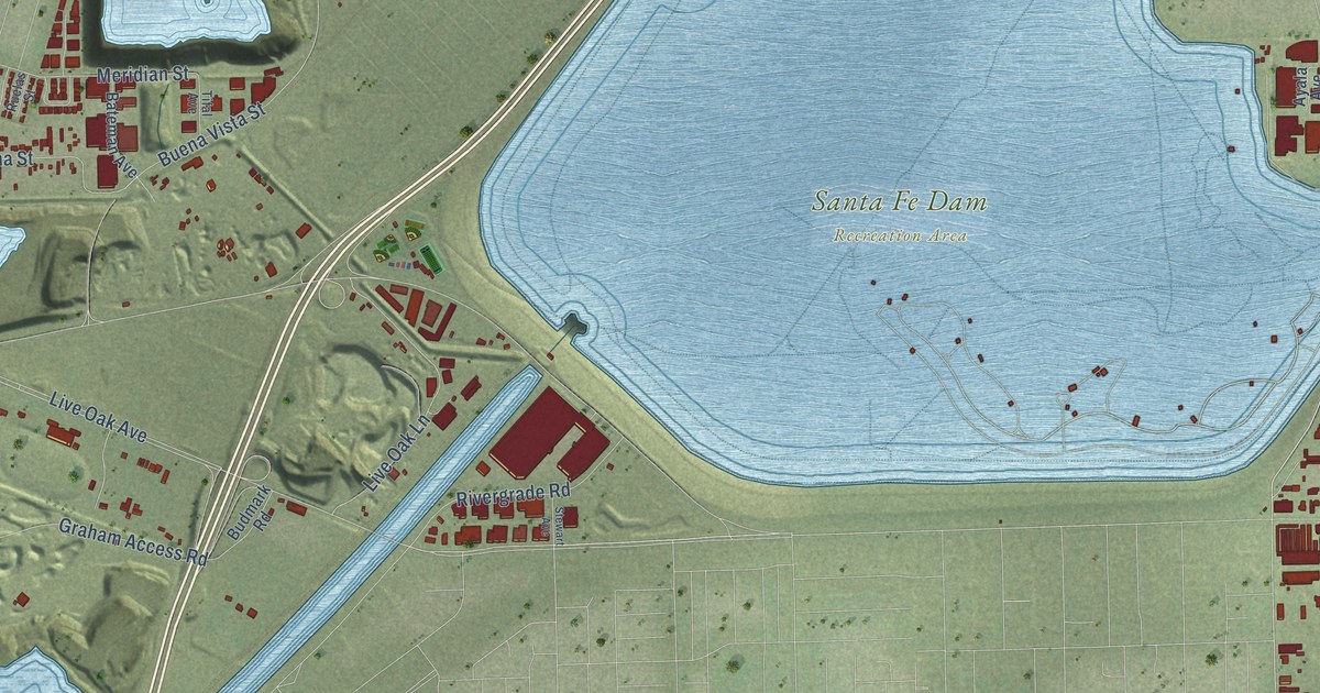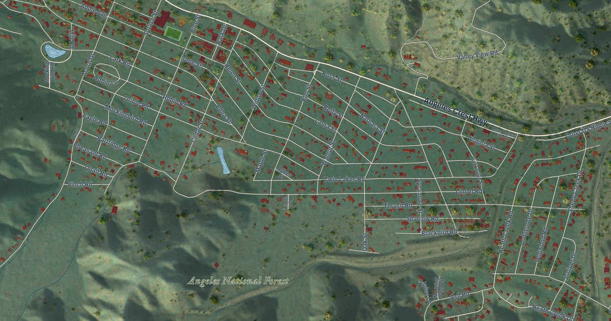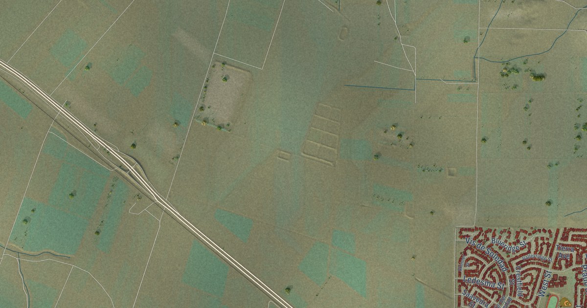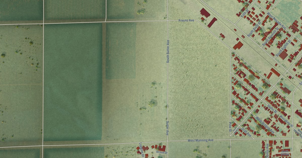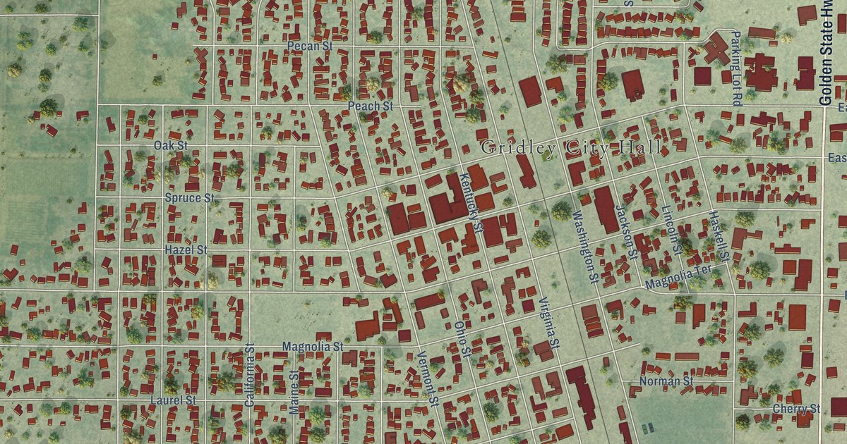
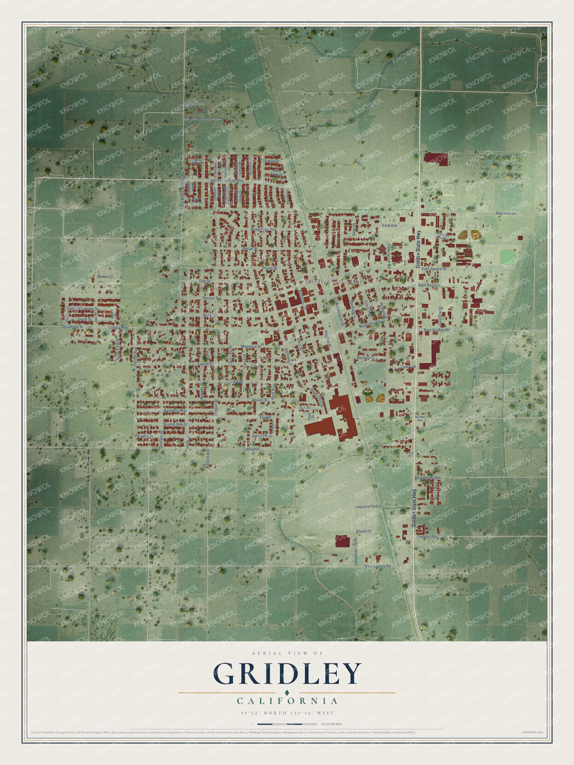
This beautifully detailed map of Gridley, California was created in 2026 using aerial imagery combined with modern topographical, census, street and landmark data. It's a modern aerial view of Gridley in Butte County, California, that combines modern data with a vintage aesthetic. The roads feature printed names, and if you look closely you can find your exact house accurately shown in its correct location.
Explore an aerial view of Gridley, California
On this map you'll find Gridley City Hall, Golden State Highway, Heron Landing Way, Sycamore Street, Vermont Street, Spruce Street, Magnolia Street, Indiana Street, Hazel Street, West Biggs Gridley Road, Oregon Street, Laurel Street, and more. Each red shape is a building, so zoom in on the preview and look for yours.
Every town has a first chapter, and Gridley is no exception. The National Register of Historic Places puts it this way: "In 1862, a post office
was established at the Gridley Ranch Headquarters, indicating that his enterprises
could support a large number of workers."
Gridley is a city in Butte County. The Census Bureau counted 7,421 people here in 2020.
Take a closer look at the Gridley map
Names on this map
These names are printed on this map.
Places: Gridley City Hall.
Streets and roads: Golden State Highway, Heron Landing Way, Sycamore Street, Vermont Street, Spruce Street, Magnolia Street, Indiana Street, Hazel Street, West Biggs Gridley Road, Oregon Street, Laurel Street, Ohio Street.
More street names, A to Z
Archer Avenue, Ash Street, Ayers Avenue, Ban Drive, Bayberry Way, Berry Patch Court, Blue Heron Court, Bonnell Avenue, Bowen Court, Bowwood Street, Bridgeford Avenue, Butte Lodge Court, Butte View Drive, California Street, Canvasback Court, Cedar Street, Cherry Blossom Lane, Cherry Street, Cinnnamon Teal Court, Colusa Highway, Eagle Meadows Drive, East Gridley Road, East Hazel Street, East Spruce Street, Elaine Court, Evelyn Drive, Fairview Drive, Flyway Court, Ford Avenue, Georgia Street, Greenhead Court, Haskell Street, Hemi Circle, Idaho Street, Independence Place, Industrial Park Drive, Iowa Street, Jackson Street, Jacob Street, Jay Drive, Justin Drive, Kentucky Street, Lincoln Street, Little Avenue, Locust Street, Magnolia Terrace, Maine Street, Nevada Street, Norman Street, Northern Pintail Court, Oak Street, Obermeyer Avenue, Paradox Drive, Parking Lot Road, Park Street, Peach Street, Pecan Street, Randolph Avenue, Richins Avenue, Ringnecked Pheasant Court, Sage Street, Sandhill Crane Court, Scarlet Oak Drive, Sheldon Avenue, Snow Goose Court, South Ohio Street, Spicetree Street, Standish Lane, Virginia Street, Vista del Rio Street, Washington Street, West Liberty Road, White Mallard Court, Yew Street.
Created by KNOWOL in 2026. The buildings are small red shapes, the roads carry their printed names, and shaded relief shows the shape of the land. The title panel reads "AERIAL VIEW OF GRIDLEY CALIFORNIA" with 39°22' NORTH 121°42' WEST.
Hang it in the hallway, the office or the cabin, or give it to someone who left Gridley and still calls it home. Open the preview and look for a street you know. See sizes and frames for the Gridley map.