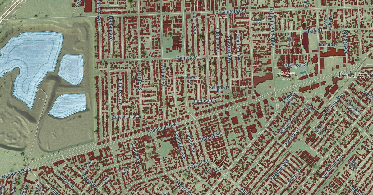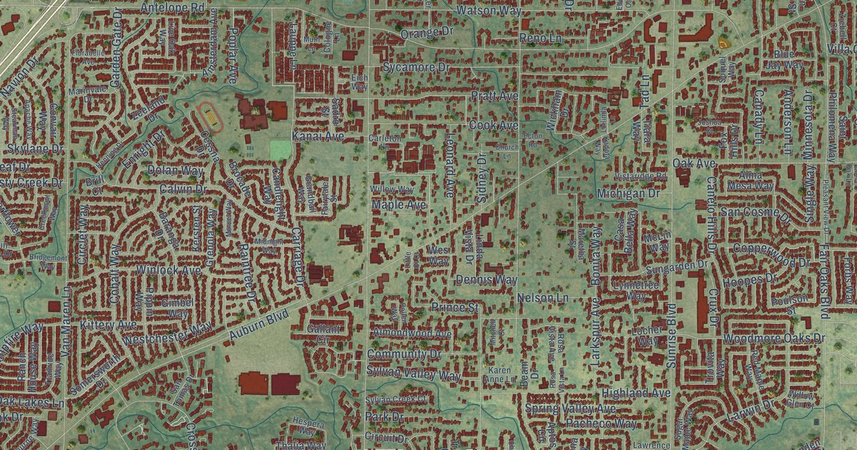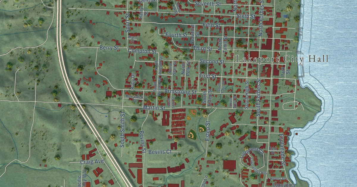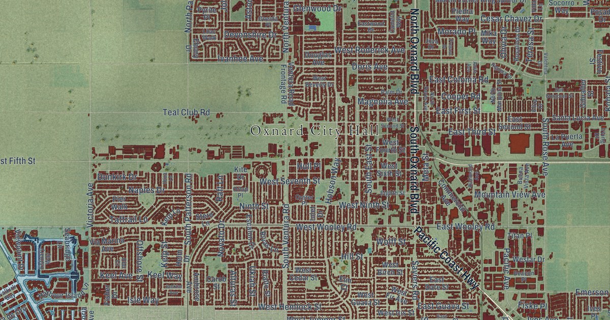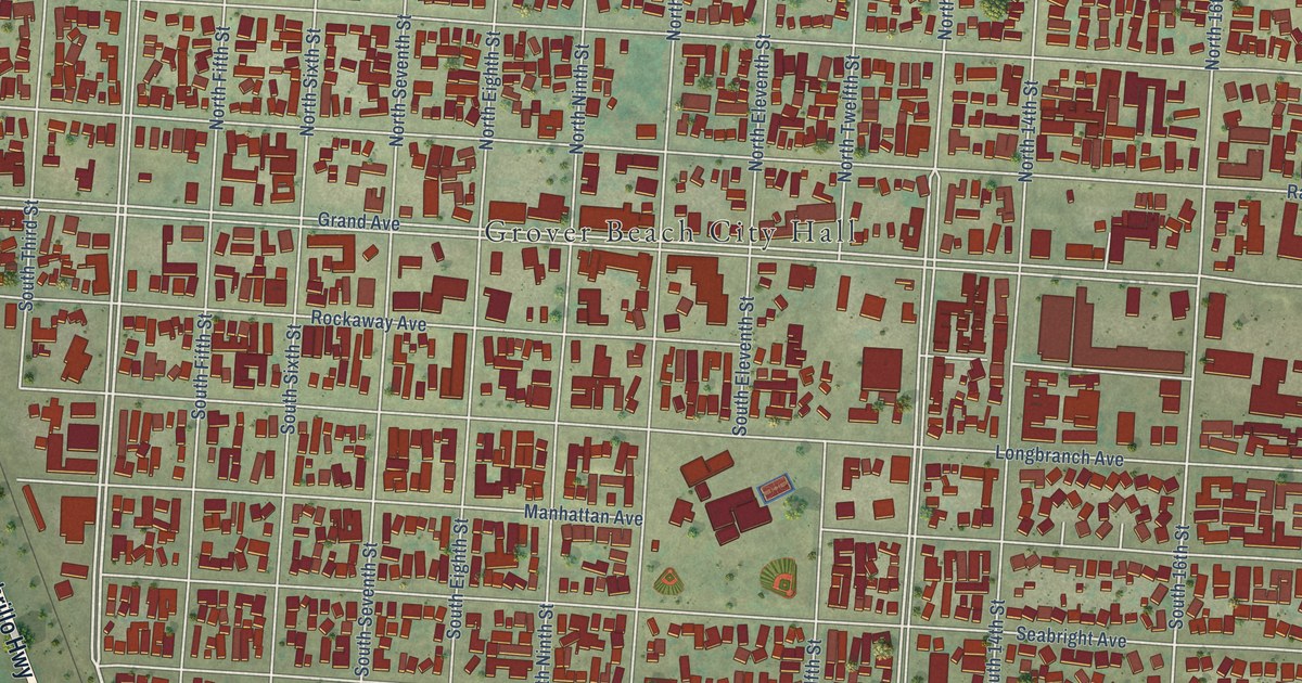
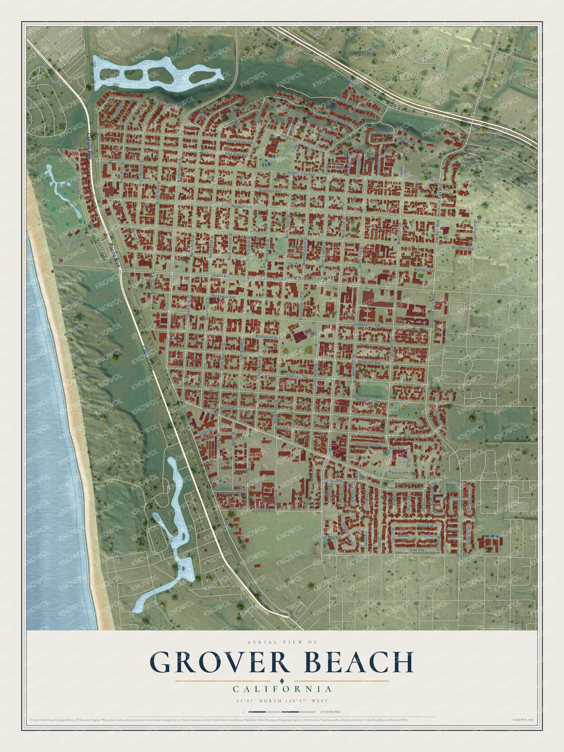
This beautifully detailed map of Grover Beach, California was created in 2026 using aerial imagery combined with modern topographical, census, street and landmark data. It's a modern aerial view of Grover Beach in San Luis Obispo County, California, that combines modern data with a vintage aesthetic. The roads feature printed names, and if you look closely you can find your exact house accurately shown in its correct location.
Explore an aerial view of Grover Beach, California
On this map you'll find Grover Beach City Hall, Cabrillo Highway, Pacific Boulevard, South Fourth Street, South Oak Park Boulevard, North Oak Park Boulevard, Oak Park Boulevard, 13th Street, North 13th Street, South 16th Street, Naples Street, North 16th Street, and more. Each red shape is a building, so zoom in on the preview and look for yours.
Grover Beach has a story worth telling. The City of Grover Beach puts it this way: "It was D.W. Grover, legend goes, who first recognized the potential of the area that is now Grover Beach. On August 1, 1887, he filed plans at the San Luis Obispo County Court House and founded what would become the City of Grover City."
Grover Beach is a city in San Luis Obispo County. The Census Bureau counted 12,701 people here in 2020.
Take a closer look at the Grover Beach map
Names on this map
These names are printed on this map.
Places: Grover Beach City Hall.
Streets and roads: Cabrillo Highway, Pacific Boulevard, South Fourth Street, South Oak Park Boulevard, North Oak Park Boulevard, Oak Park Boulevard, 13th Street, North 13th Street, South 16th Street, Naples Street, North 16th Street, Saint John Circle.
More street names, A to Z
16th Street, Aberdeen Court, Alma Court, Angello Terrace, Anita Avenue, Atlantic City Avenue, Baden Avenue, Balboa Street, Barca Street, Barka Street, Beckett Place, Bodega Court, Brighton Avenue, Cabrillo Court, Calvin Court, Capitola Street, Carmelde Lane, Charles Street, Coronado Court, Courtland Street, Del Mar Avenue, Driftwood Street, El Camino Real, Encinitas Court, Estuary Way, Farroll Avenue, Farroll Road, Front Street, Grand Avenue, Grandview Drive, Griffin Street, Highland Way, Huber Street, Huntington Avenue, Huston Street, Janet Avenue, Jennifer Court, Laguna Court, La Jolla Court, La Selva Avenue, Leoni Drive, Le Sage Drive, Longbranch Avenue, Loreto Court, Lynne Street, Manhattan Avenue, Marbella Court, Margarita Avenue, Marsala Drive, Marseille Court, Mentone Avenue, Messina Court, Mira Mar Court, Monaco Court, Monterey Avenue, Nacimiento Avenue, Napa Way, Newport Avenue, Nice Avenue, North 12st Road, North 14th Street, North Eighth Street, North Eleventh Street, North Fifth Street, North First Street, North Fourth Street, North Ninth Street, North Second Street, North Seventh Street, North Sixth Street, North Tenth Street, North Third Street, North Twelfth Street, Ocean View Avenue, Pacifica Drive, Park Drive, Park Lane, Park View Avenue, Pebble Street, Ramona Avenue, Rebecca Street, Refugio Street, Ritchie Court, Ritchie Road, Rockaway Avenue, Rose Court, San Diego Loop, San Sebastian Court, San Sorrento Court, Santo Tomas, Saratoga Avenue, Sausalito Street, Seabright Avenue, Shanna Place, Sharon Lane, Sheridan Road, Solana Court, South 14th Street, South Eighth Street, South Eleventh Street, South Fifth Street, South Ninth Street, South Seventh Street, South Sixth Street, South Tenth Street, South Third Street, South Twelfth Street, Tanner Lane, Teddy Bear Lane, The Pike, Trouville Avenue.
Created by KNOWOL in 2026. The buildings are small red shapes, the roads carry their printed names, and shaded relief shows the shape of the land. The title panel reads "AERIAL VIEW OF GROVER BEACH CALIFORNIA" with 35°07' NORTH 120°37' WEST.
It looks right in a kitchen, an office or a den, and it's a gift for anyone who grew up in Grover Beach or moved away. Open the preview and find your street. See sizes and frames for the Grover Beach map.