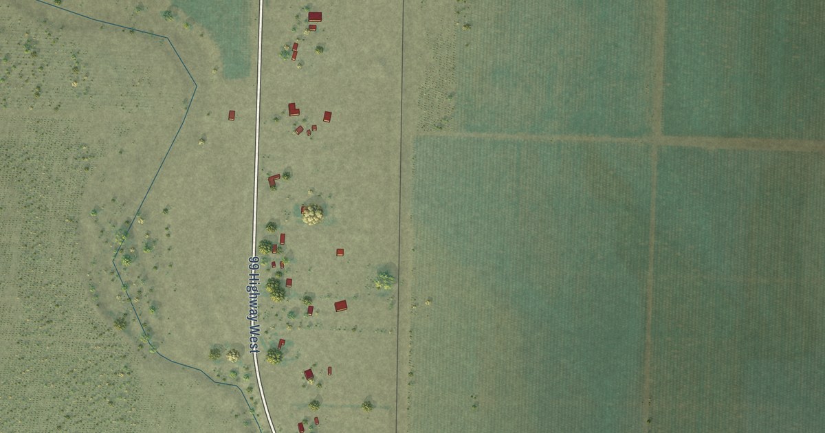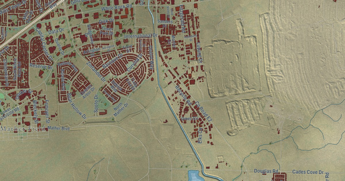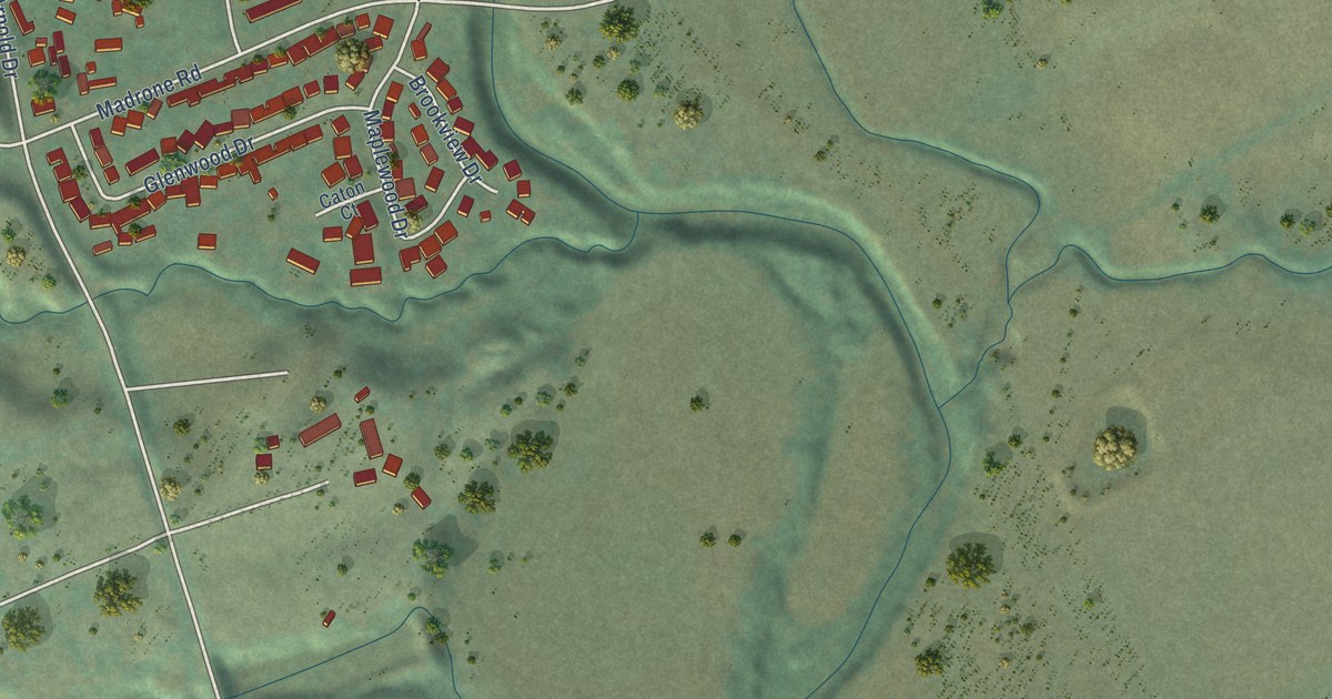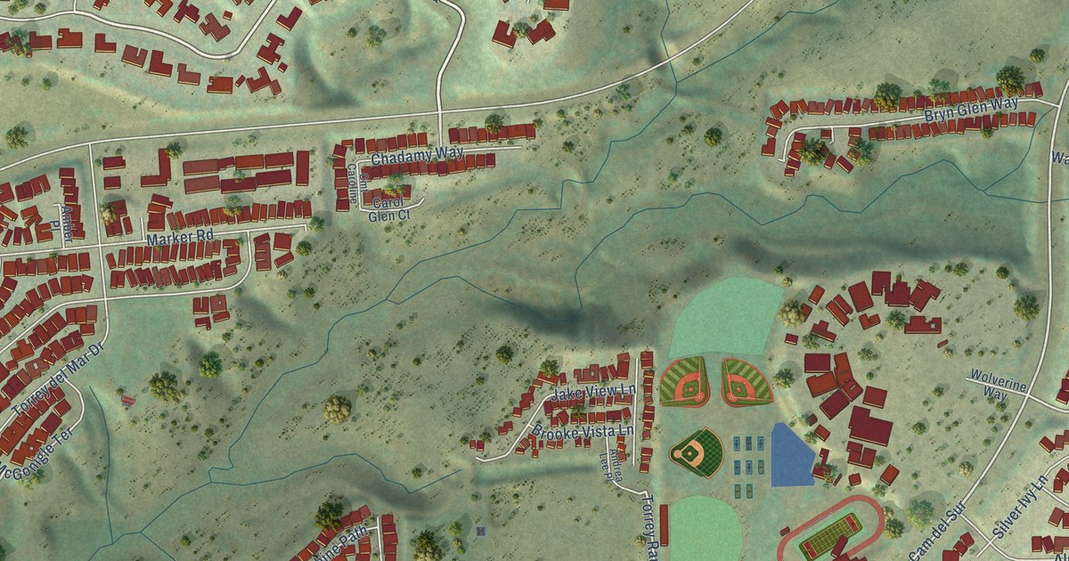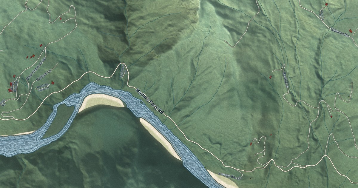
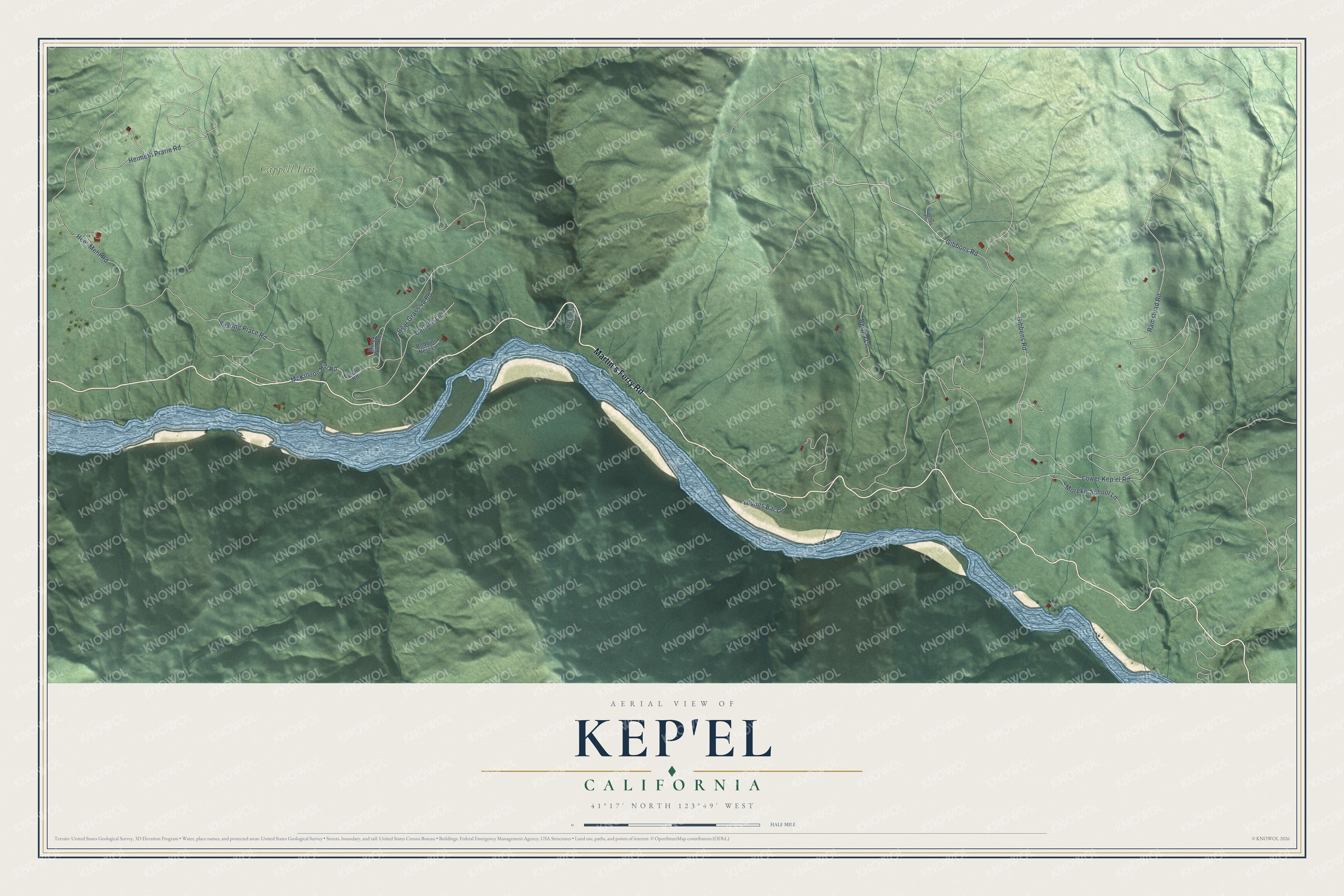
This beautifully detailed map of Kep'el, California was created in 2026 using aerial imagery combined with modern topographical, census, street and landmark data. It's a modern aerial view of Kep'el in Humboldt County, California, that combines modern data with a vintage aesthetic. The roads feature printed names, and if you look closely you can find your exact house accurately shown in its correct location.
Explore an aerial view of Kep'el, California
On this map you'll find Cappell Flat, Martin's Ferry Road, Gibbons Road, Bear Grass 40 Road, Hee'-Mehl Road, Lower Kep'el Road, Snaring Place Road, Ramstead Road, Gibbens Road, McKinnon Hill Road, Heimeth Prarie Road, Bertha Lane, and more. Each red shape is a building, so zoom in on the preview and look for yours.
Every town has a first chapter, and Kep'el is no exception. Each early autumn the Yurok built a great salmon dam at Kep'el, and the Deerskin dance that went with it was perhaps the most famous of all Yurok ceremonies. Over ten days a band of at least 60 men raised the weir in ten named sections. On the night the weir was finished, and the next day, the Deerskin dance was danced at Kep'el. That's from the Smithsonian Bureau of American Ethnology.
Kep'el is a community in Humboldt County. The Census Bureau counted 76 people here in 2020.
Take a closer look at the Kep'el map
Names on this map
These names are printed on this map.
Places: Cappell Flat.
Streets and roads: Martin's Ferry Road, Gibbons Road, Bear Grass 40 Road, Hee'-Mehl Road, Lower Kep'el Road, Snaring Place Road, Ramstead Road, Gibbens Road, McKinnon Hill Road, Heimeth Prarie Road, Bertha Lane, Morekw School Lane.
More street names, A to Z
Carlson Lane, Grannys Place, Hatchery Lane, Morek Won Road, Quail Road, Robbins Nest Lane, Youngs Bar Lane.
See it on a wall
The Kep'el map as a framed print. Swipe for more.


Created by KNOWOL in 2026. The buildings are small red shapes, the roads carry their printed names, and shaded relief shows the shape of the land. The title panel reads "AERIAL VIEW OF KEP'EL, CALIFORNIA" with 41°17' NORTH 123°49' WEST.
Hang it in the hallway, the office or the cabin, or give it to someone who left Kep'el and still calls it home. Open the preview and look for a street you know. See sizes and frames for the Kep’el map.