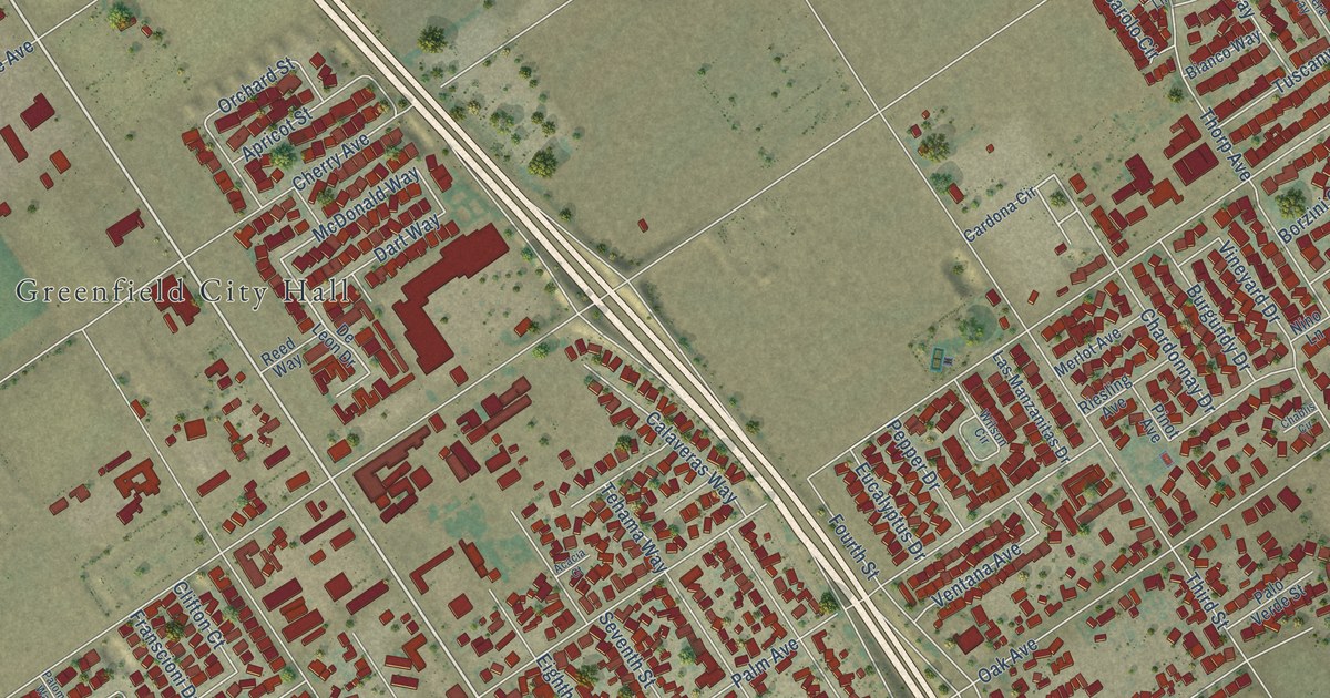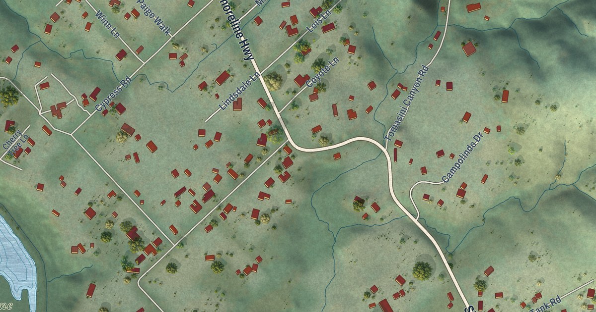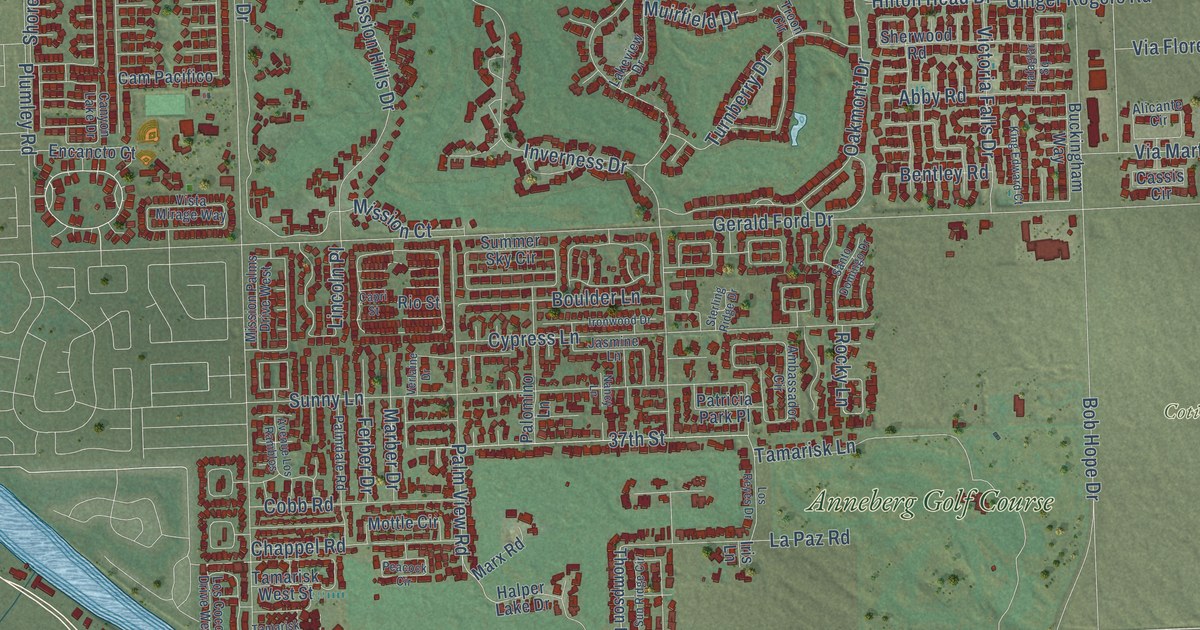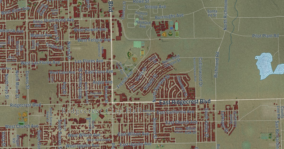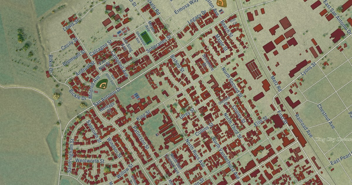
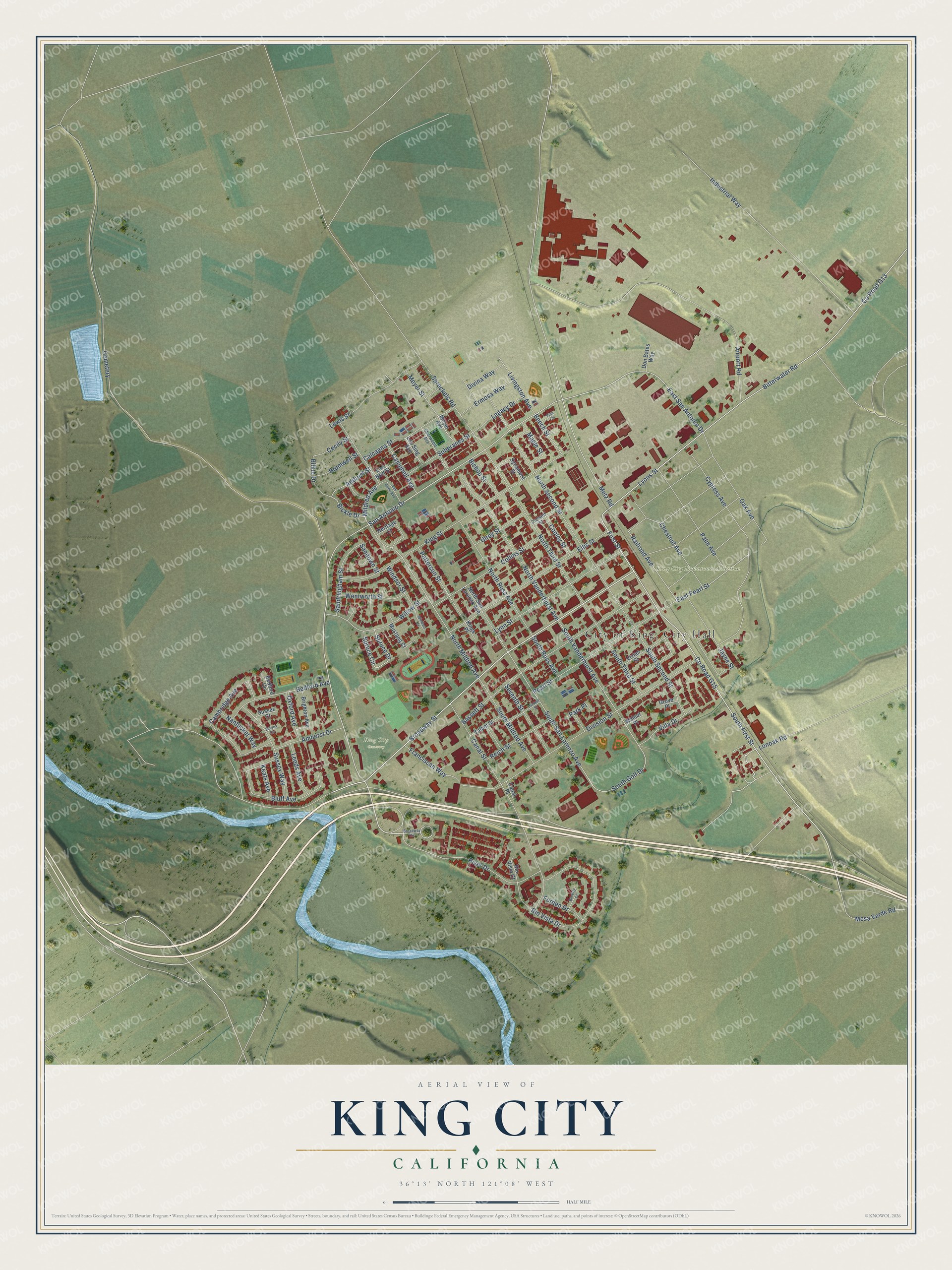
This beautifully detailed map of King City, California was created in 2026 using aerial imagery combined with modern topographical, census, street and landmark data. It's a modern aerial view of King City in Monterey County, California, that combines modern data with a vintage aesthetic. The roads feature printed names, and if you look closely you can find your exact house accurately shown in its correct location.
Explore an aerial view of King City, California
On this map you'll find City of King, City Hall, King City Downtown Addition, King City Cemetery, Broadway Street, First Street, Co Road G15, Co Road G13, East San Antonio Drive, South First Street, Lyons Street, East Pearl Street, Bitterwater Road, and more. Each red shape is a building, so zoom in on the preview and look for yours.
Every town has a first chapter, and King City is no exception. The National Park Service puts it this way: "Constructed in 1939, the King City Joint Union High School Auditorium dominates the East side of the campus and remains essentially unaltered to this day."
King City is a city in Monterey County. The Census Bureau counted 13,332 people here in 2020.
Take a closer look at the King City map
Names on this map
These names are printed on this map.
Places: King City Downtown Addition, King City Cemetery and Cemetery.
Streets and roads: Broadway Street, First Street, County Road G15, County Road G13, East San Antonio Drive, South First Street, Lyons Street, East Pearl Street, Bitterwater Road, Mildred Avenue, South Golf Drive, Railroad Avenue.
More street names, A to Z
Airport Road, Amherst Drive, Andrust Street, Bassett Street, Bedford Avenue, Bedford Circle, Beech Street, Beverly Court, Bickle Drive, Bilkie Drive, Bishop Street, Bluff Avenue, Brighton Avenue, Broadway Circle, Brumwell Street, Calcagno Street, Cambridge Avenue, Campbell Avenue, Canal Place, Canal Street, Cecily Street, Chestnut Avenue, Collins Street, Copley Street, Cypress Avenue, Divina Way, Division Street, Don Bates Way, Ellis Street, Ermosa Way, Forden Drive, Franciscan Way, Grove Place, Heritage Court, Industrial Way, Jayne Street, Keats Avenue, Kings Place, King Street, Leeds Avenue, Legacy Drive, Lewis Street, Livingston Avenue, Lonoak Road, Lon Sing Avenue, Luckett Street, Lynn Street, Maple Street, Mesa Verde Road, Metz Road, Meyer Avenue, Meyer Street, Mustang Court, Nantucket Way, North Mildred Avenue, North Russ Avenue, North San Lorenzo Avenue, North Second Street, North Third Street, North Vanderhurst Avenue, Oak Avenue, Orchard Street, Oxford Avenue, Palm Avenue, Park Place, Patterson Street, Pearl Street, Pine Circle, Reich Street, Rio Vista Court, Rio Vista Drive, River Drive, San Antonio Drive, Sandown Street, Sandringham Street, Seventh Street, Sherwood Avenue, Soberanes Street, South Mildred Avenue, South Russ Avenue, South San Lorenzo Avenue, South Second Street, South Third Street, South Vanderhurst Avenue, Spreckels Road, Spruce Circle, Spruce Drive, Sussex Circle, Sussex Court, Sussex Way, Sycamore Street, Talbot Street, Ulrey Street, Van Etten Avenue, Van Nort Street, Villa Drive, Vivian Street, Walnut Place, Wentworth Street, Willow Street, Windsor Court, Windsor Street.
Created by KNOWOL in 2026. The buildings are small red shapes, the roads carry their printed names, and shaded relief shows the shape of the land. The title panel reads "AERIAL VIEW OF KING CITY CALIFORNIA" with 36°13' NORTH 121°08' WEST.
Hang it in the hallway, the office or the cabin, or give it to someone who left King City and still calls it home. Open the preview and look for a street you know. See sizes and frames for the King City map.