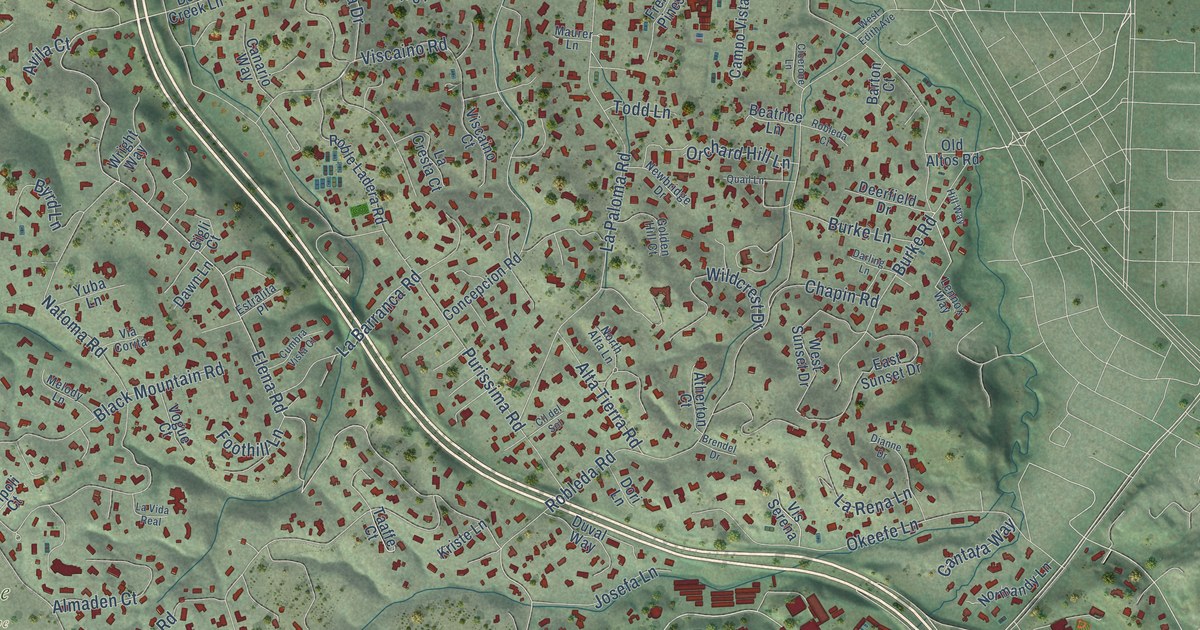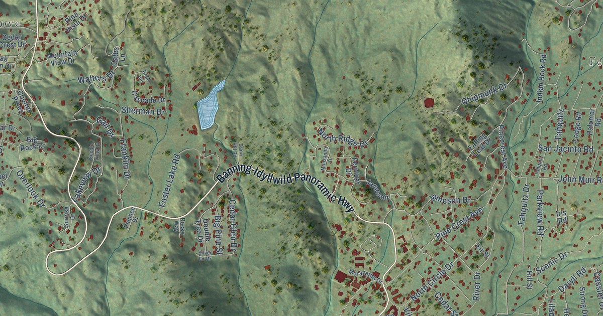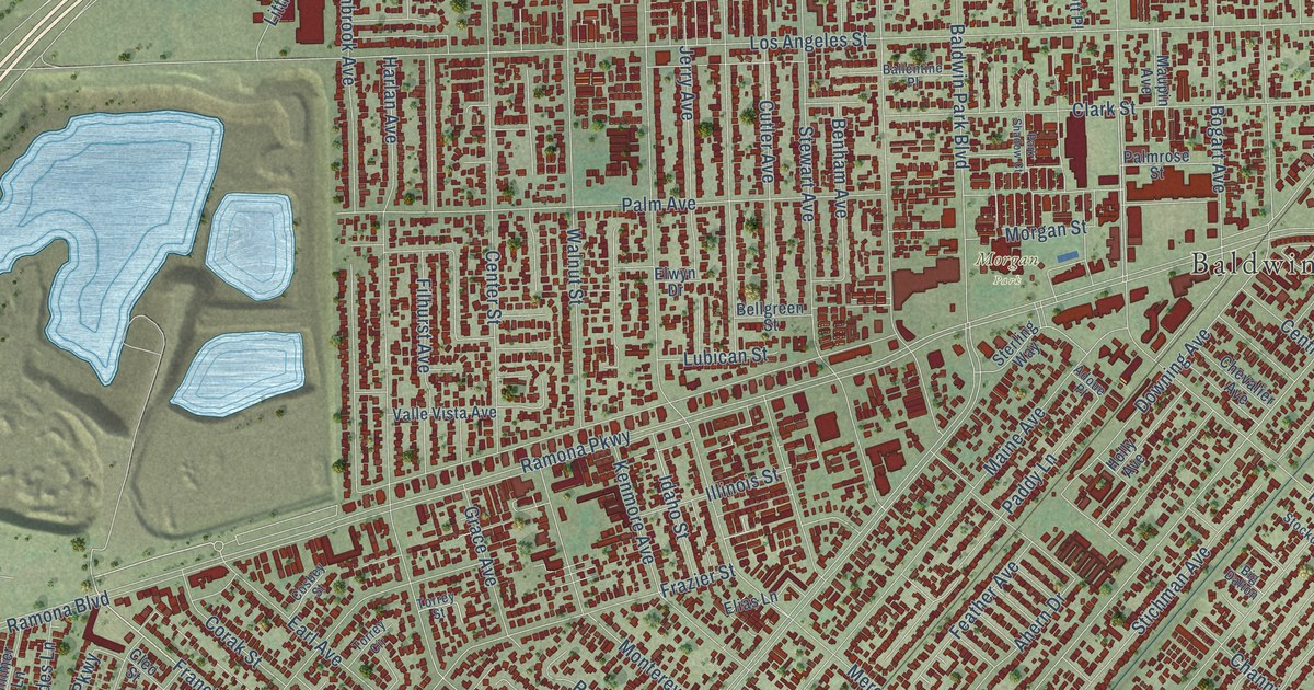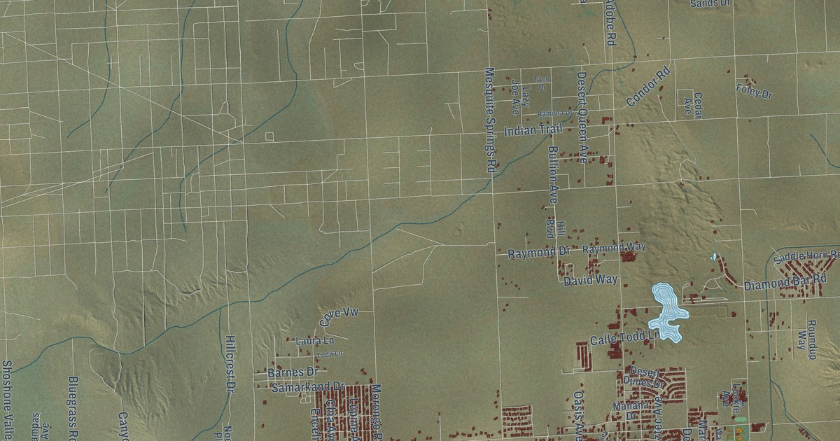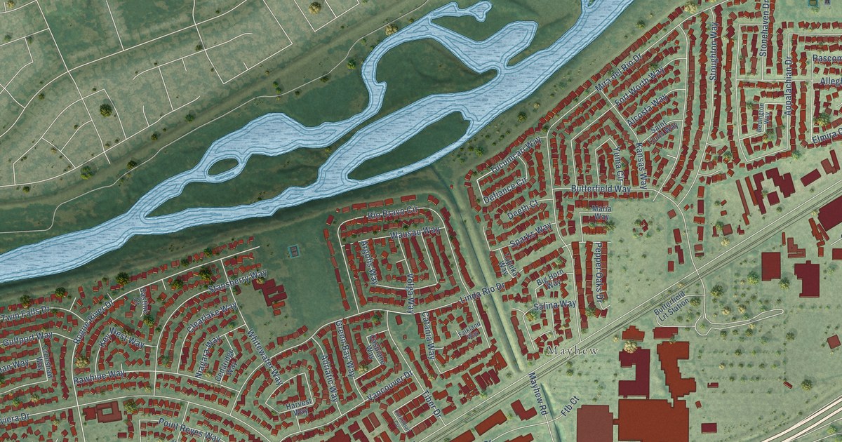
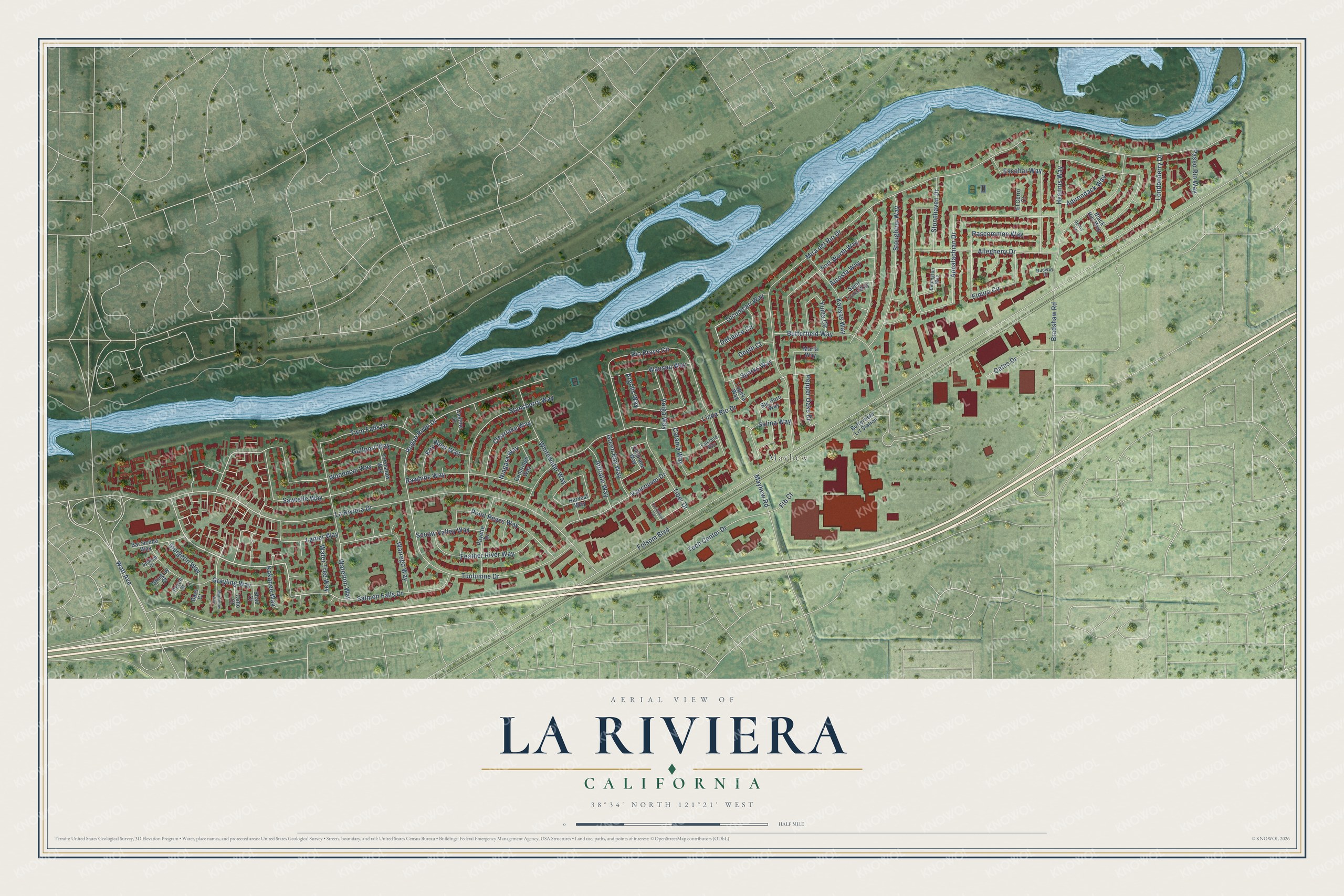
This beautifully detailed map of La Riviera, California was created in 2026 using aerial imagery combined with modern topographical, census, street and landmark data. It's a modern aerial view of La Riviera in Sacramento County, California, that combines modern data with a vintage aesthetic. The roads feature printed names, and if you look closely you can find your exact house accurately shown in its correct location.
Explore an aerial view of La Riviera, California
On this map you'll find Mayhew, La Riviera Drive, Salmon Falls Drive, Woodman Way, Tuolumne Drive, Rogue River Drive, Warrego Way, Mira del Rio Drive, Volga Way, Sawtelle Way, Folsom Boulevard, Linda Rio Drive, and more. Each red shape is a building, so zoom in on the preview and look for yours.
La Riviera is a community in Sacramento County. The Census Bureau counted 11,252 people here in 2020. The map prints the town name in its title panel, with the coordinates below it.
Take a closer look at the La Riviera map
Names on this map
These names are printed on this map.
Places: Mayhew.
Streets and roads: La Riviera Drive, Salmon Falls Drive, Woodman Way, Tuolumne Drive, Rogue River Drive, Warrego Way, Mira del Rio Drive, Volga Way, Sawtelle Way, Folsom Boulevard, Linda Rio Drive, Appalachian Drive.
More street names, A to Z
Adirondack Way, Adriatic Way, Alcosta Way, Allegheny Drive, Argolis Way, Barracuda Way, Bass Court, Bedington Way, Big Horn Way, Black Hils Way, Bradshaw Road, Butterfield Lrt Station, Butterfield Way, Caspiane Way, Castine Court, Catania Way, Cedaridge Way, Clearlake Way, Coho Court, Corinthian Circle, Crenshaw Way, Deeth Court, Defiance Circle, El Cerro Court, Elmira Circle, Escobar Way, Falkland Way, Feather River Way, Fort Worth Way, Ftb Court, Gentry Court, Grayling Way, Green Bay Way, Gulfport Way, Harvest Way, Hyannis Way, Kansas Way, Key West Way, Kokanee Way, Lanier Way, Londonderry Drive, Mackinaw Way, Maria Way, Mayhew Road, Niagara Way, Oates Drive, Paseo Rio Way, Payette Drive, Pepper Oaks Drive, Perch Court, Point Reyes Way, Rascommon Way, Rawhide Way, Rio Bravo Circle, Rudway Court, Saint Louis Way, Salina Way, Shad Court, Sparks Way, Stansberry Way, Stingray Court, Stonehaven Drive, Stoughton Way, Sturgeon Way, Sunfish Court, Tech Center Drive, Tiber Drive, Topeka Way, Tucumcari Way, Twin Falls Drive, Vancouver Drive, Waterton Way, Water Tree Way, Watt Avenue, Wausau Way, Whitewater Way, Yuma Circle.
Created by KNOWOL in 2026. The buildings are small red shapes, the roads carry their printed names, and shaded relief shows the shape of the land. The title panel reads "AERIAL VIEW OF LA RIVIERA CALIFORNIA" with 38°34' NORTH 121°21' WEST.
It suits a den, a classroom or a front hall, and it makes a gift for anyone with La Riviera roots. Open the preview and find the block you know. See sizes and frames for the La Riviera map.