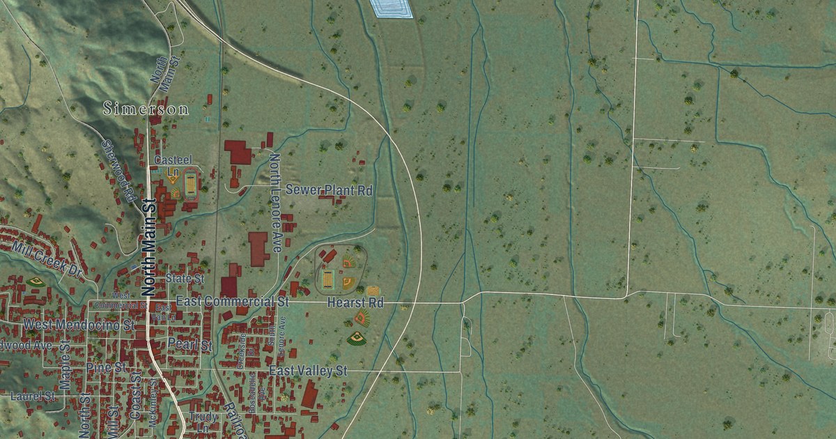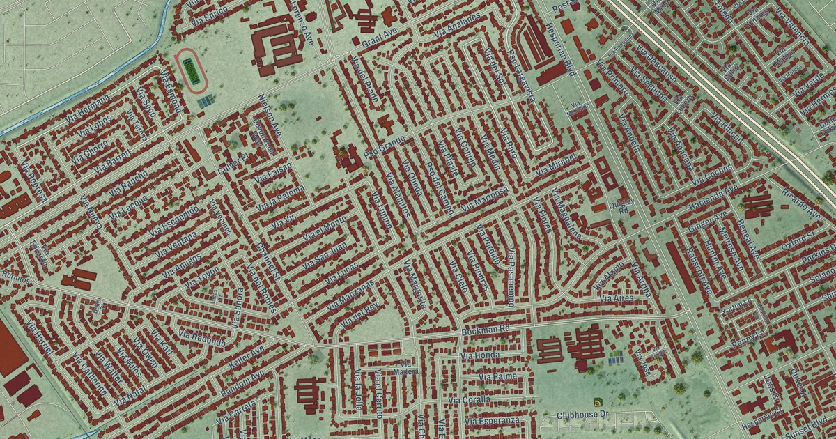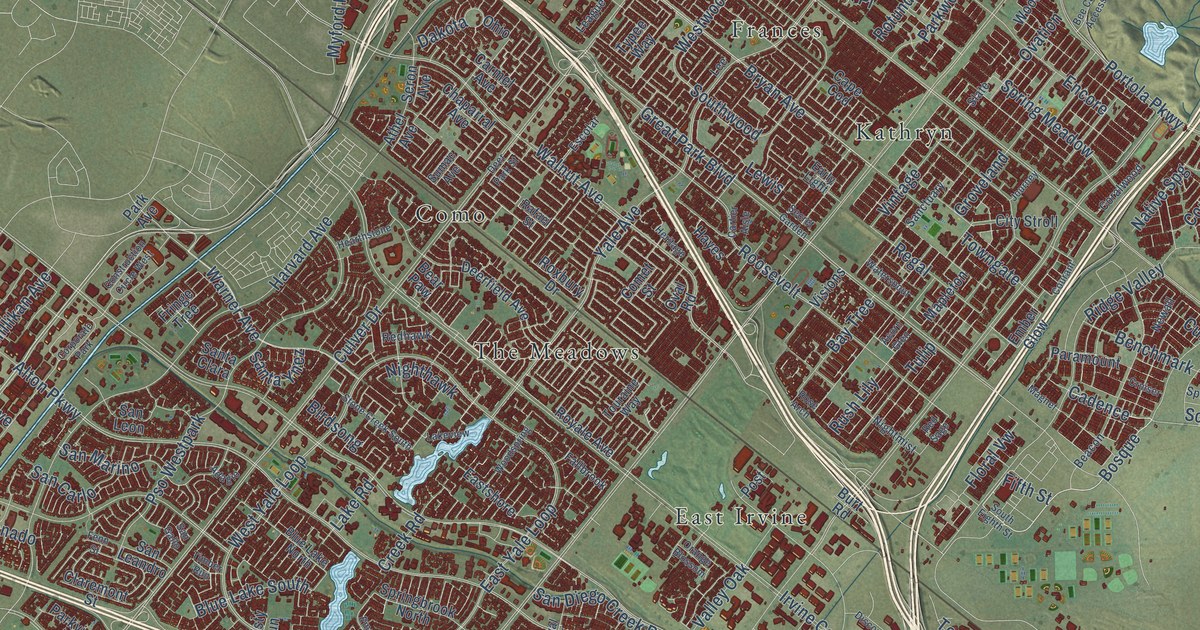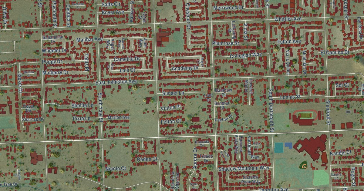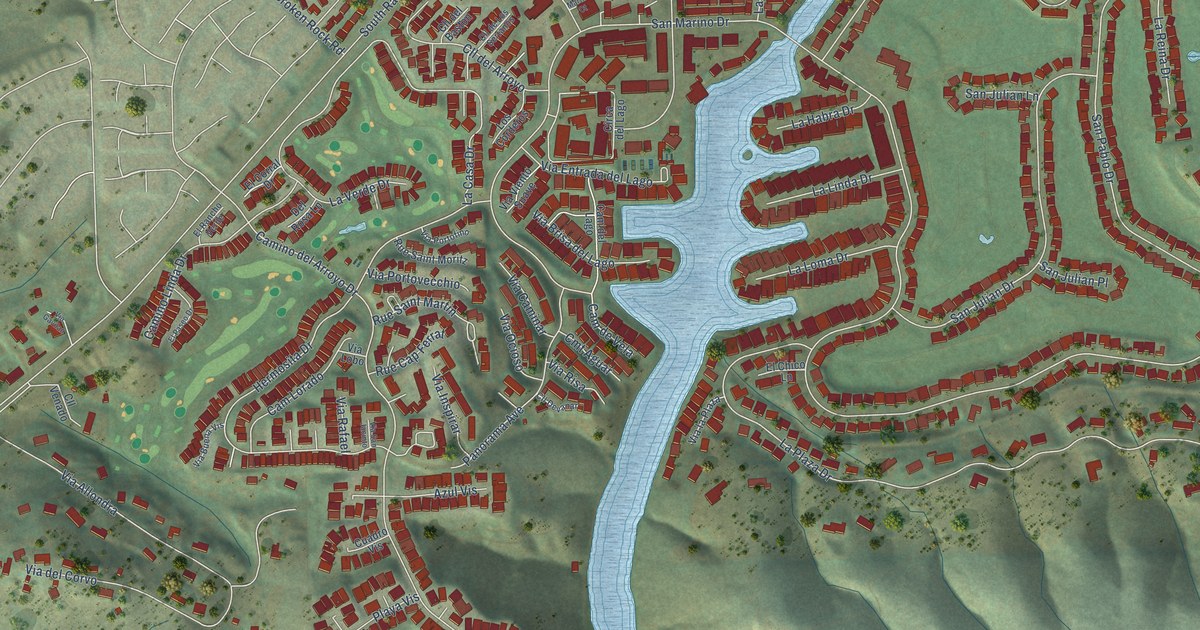
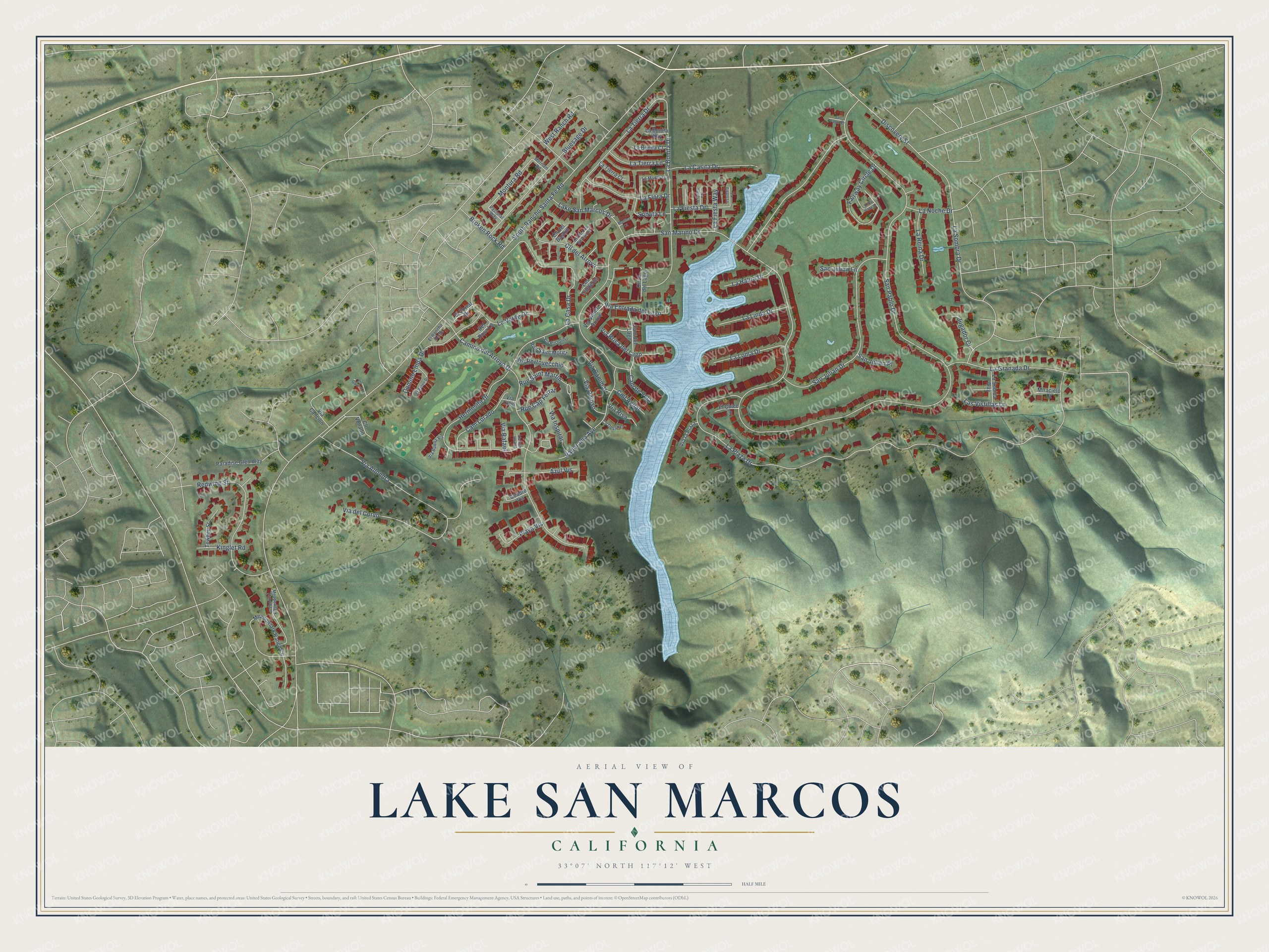
This beautifully detailed map of Lake San Marcos, California was created in 2026 using aerial imagery combined with modern topographical, census, street and landmark data. It's a modern aerial view of Lake San Marcos in San Diego County, California, that combines modern data with a vintage aesthetic. The roads feature printed names, and if you look closely you can find your exact house accurately shown in its correct location.
Explore an aerial view of Lake San Marcos, California
On this map you'll find San Pablo Drive, La Plaza Drive, San Marino Drive, Camino del Arroyo Drive, Hermosita Drive, South Rancho Santa Fe Road, La Casa Drive, San Julian Drive, La Bonita Drive, Via del Corvo, Redwing Street, La Sombra Drive, and more. Each red shape is a building, so zoom in on the preview and look for yours.
Lake San Marcos is a community in San Diego County. The Census Bureau counted 5,328 people here in 2020. The map prints the town name in its title panel, with the coordinates below it.
Take a closer look at the Lake San Marcos map
Names on this map
These names are printed on this map.
Streets and roads: San Pablo Drive, La Plaza Drive, San Marino Drive, Camino del Arroyo Drive, Hermosita Drive, South Rancho Santa Fe Road, La Casa Drive, San Julian Drive, La Bonita Drive, Via del Corvo, Redwing Street, La Sombra Drive.
More street names, A to Z
Azul Vis, Bluesage Drive, Broken Rock Road, Cam del Lago, Cam de Vela, Camino Linda Drive, Cam Lorado, Circa del Lago, Cll del Arroyo, Cll del Baston, Cll de Los Serranos, Cll Devanar, Cll Venado, Cmt Aguar, Cuadro Vis, Del Rosa Lane, Discovery Street, El Chico Lane, El Corral Drive, El Paseo Drive, El Rancho Verde, Fairway Circle Drive, Jugador Court, Kinglet Road, Knoll Vista Drive, La Bonita Court, La Bonita Way, La Casita Drive, La Fiesta Drive, La Fiesta Lane, La Fiesta Place, La Fiesta Way, La Flora Drive, La Granada Drive, La Habra Drive, Lake San Marcos Drive, La Linda Drive, La Loma Drive, La Madera Lane, La Noche Drive, La Reina Drive, La Subida Way, Las Vistillas Lane, La Tierra Court, La Tierra Drive, La Tierra Lane, La Verde Drive, Los Corderos, Martina Court, Meadowlark Ranch Circle, Meadowlark Ranch Lane, Merriam Road, Miracielo Court, Montura Road, Panorama Avenue, Paradise Glen Way, Pastoral Way, Playa Vis, Rue Cap Ferrat, Rue Saint Martin, Rue Saint Moritz, San Julian Lane, San Julian Place, San Pablo Court, Sonata Lane, Towhee Street, Via Allondra, Via Brisa del Lago, Via Buena Vis, Via Caminar, Via Cancion, Via Entrada del Lago, Via Gavilan, Via Inspirar, Via la Plaza, Via Lobo, Via Ocioso, Via Portofino, Via Portovecchio, Via Rafael, Via Risa, Via San Jacinto, Via Viento Suave, West Ranch Road.
Created by KNOWOL in 2026. The buildings are small red shapes, the roads carry their printed names, and shaded relief shows the shape of the land. The title panel reads "AERIAL VIEW OF LAKE SAN MARCOS CALIFORNIA" with 33°07' NORTH 117°12' WEST.
It suits a den, a classroom or a front hall, and it makes a gift for anyone with Lake San Marcos roots. Open the preview and find the block you know. See sizes and frames for the Lake San Marcos map.