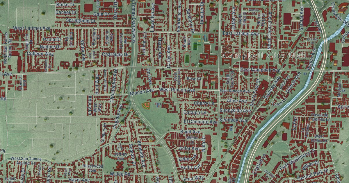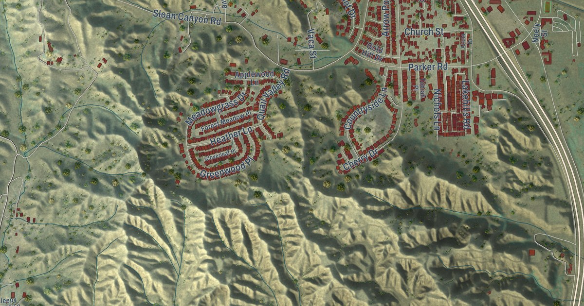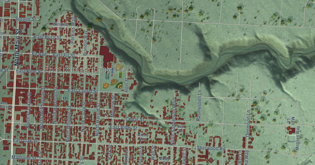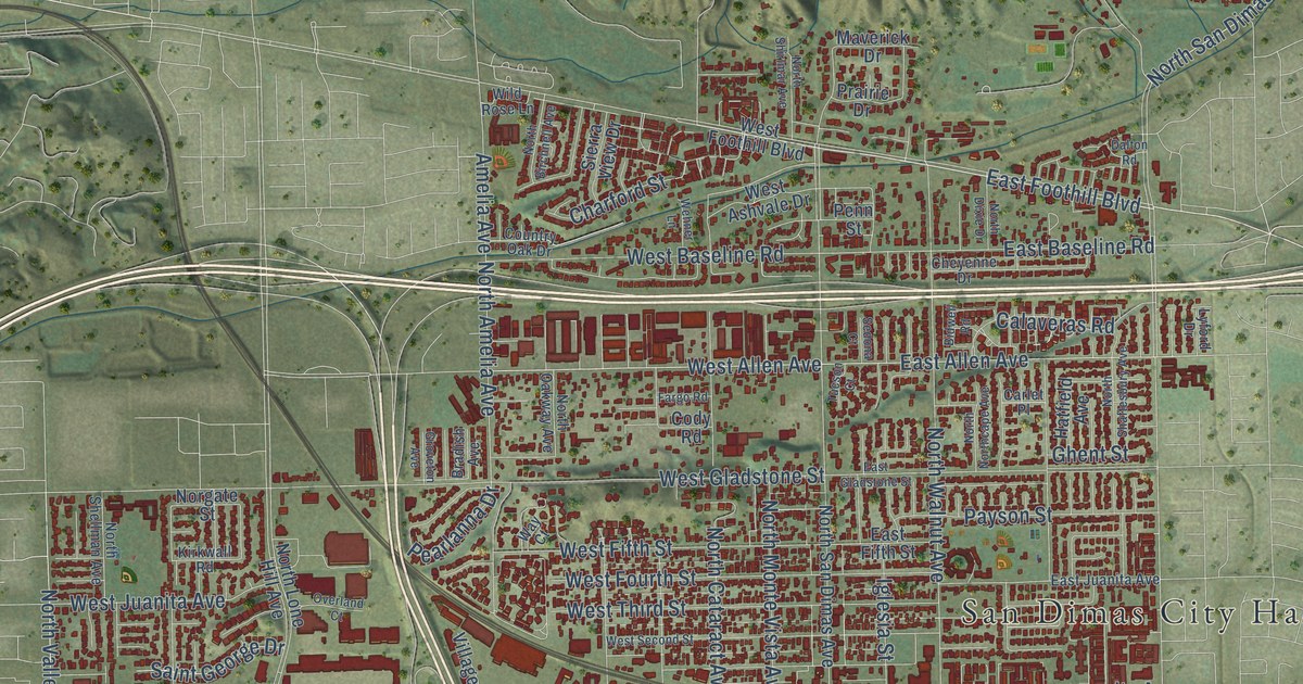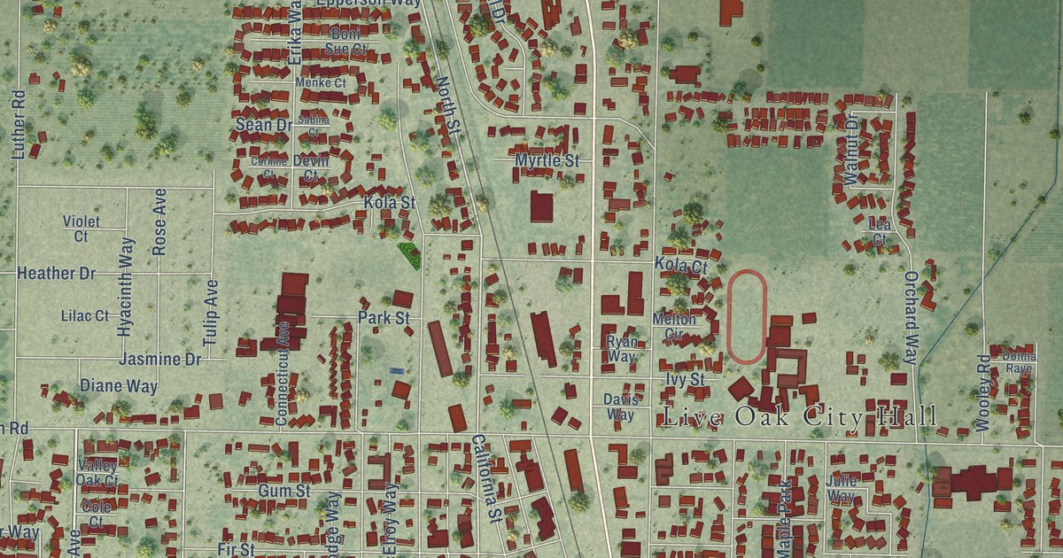
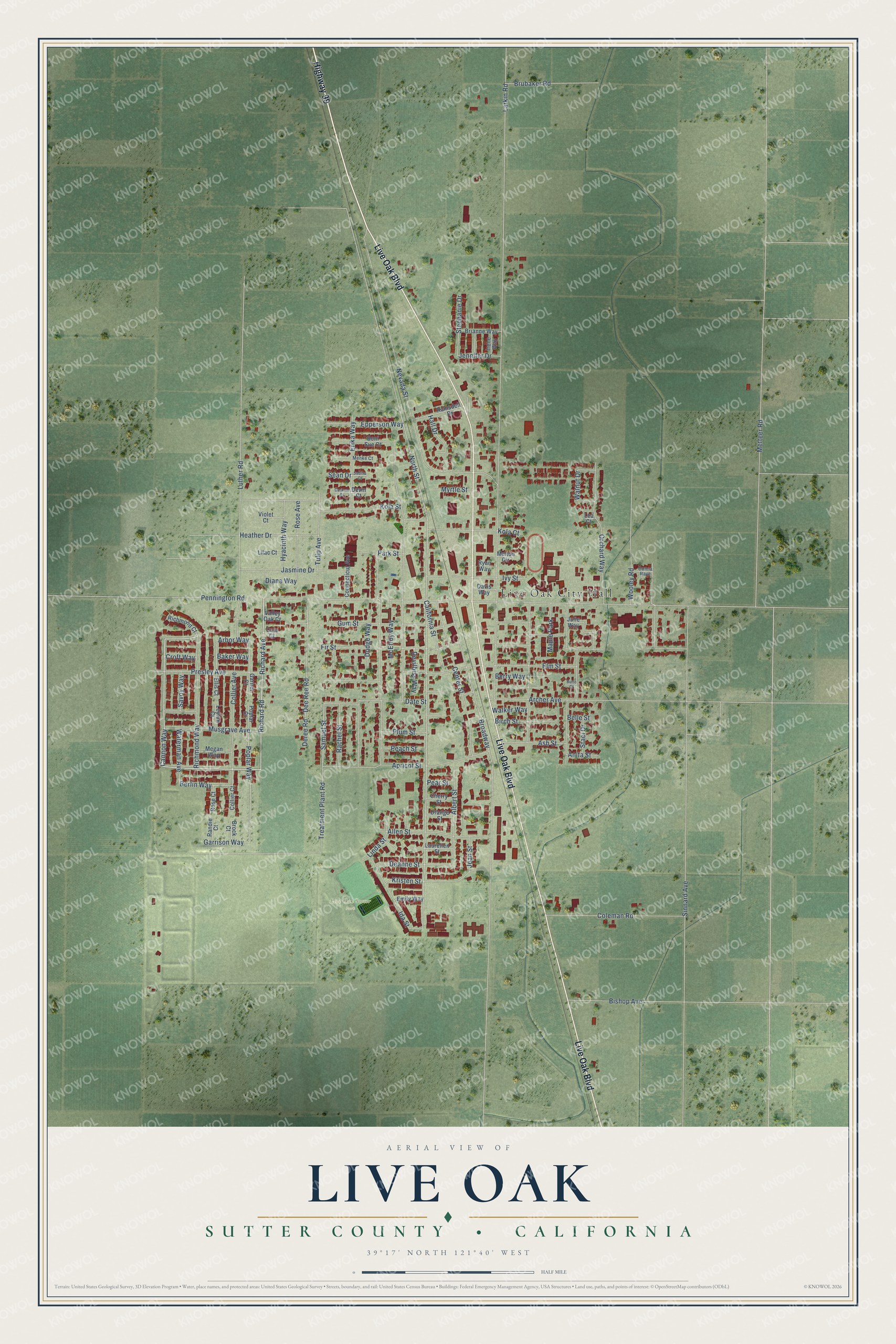
This beautifully detailed map of Live Oak, Sutter County, California was created in 2026 using aerial imagery combined with modern topographical, census, street and landmark data. It's a modern aerial view of Live Oak, Sutter County in Sutter County, California, that combines modern data with a vintage aesthetic. The roads feature printed names, and if you look closely you can find your exact house accurately shown in its correct location.
Explore an aerial view of Live Oak, Sutter County, California
On this map you'll find Live Oak City Hall, Live Oak Soccer Park, Highway 99, Live Oak Boulevard, Apricot Street, Richard Avenue, Cannon Way, Richard Road, Samuel Street, North Street, Arbor Way, Poplar Way, and more. Each red shape is a building, so zoom in on the preview and look for yours.
Live Oak, Sutter County has a story worth telling. The National Register of Historic Places puts it this way: "live Oak had only a small settlement,
but it became the main shipping point on the rail line in Sutter County."
Live Oak, Sutter County is a city in Sutter County. The Census Bureau counted 9,106 people here in 2020.
Take a closer look at the Live Oak, Sutter County map
Names on this map
These names are printed on this map.
Places: Live Oak City Hall, Live Oak Soccer Park and Maple Park.
Streets and roads: Highway 99, Live Oak Boulevard, Apricot Street, Richard Avenue, Cannon Way, Richard Road, Samuel Street, North Street, Arbor Way, Poplar Way, Berlin Way, Larkin Road.
More street names, A to Z
Albert Street, Allen Street, Anita Street, Archer Avenue, Ash Street, Baker Way, Belle Street, Berry Way, Birch Street, Bishop Avenue, Boni Sue Court, Brianne Way, Broadway, Brock Court, Brubaker Road, Butte Court, California Street, Center Street, Cherry Street, Cole Court, Coleman Road, Collier Avenue, Collier Court, Connecticut Avenue, Corinne Court, Croft Way, Date Street, Davis Way, Deanne Street, Dee Ree Road, Deree Road, Devilbiss Way, Devin Court, Diane Way, Dodge Way, Donna Raye, Ellis Court, Elm Street, Emily Way, Epperson Way, Erika Way, Fir Street, Garnet Court, Garrison Way, Gum Street, Hall Drive, Heather Drive, Hyacinth Way, Ida Street, Irene Way, Ivy Street, Jasmine Drive, Jean Street, Jennifer Drive, Julie Way, Kola Court, Kola Street, Kristen Street, Laurellen Street, Lea Court, Leyton Court, Lilac Court, Linda Street, Luther Road, McElroy Way, Megan Way, Melton Circle, Menke Court, Metteer Road, Musgrave Avenue, Myrtle Street, Nevada Street, Orange Street, Orchard Way, Park Street, Peach Street, Pear Street, Pennington Road, Plum Street, Poplar Court, Presley Avenue, Rachel Street, Ramsdell Drive, Randie Court, Richmond Court, Richmond Way, Rose Avenue, Rose Court, Ryan Way, Sabina Court, Savoy Way, Sean Drive, Sinnard Avenue, Staci Drive, Stephanie Drive, Treatment Plant Road, Tulip Avenue, Valley Oak Court, Violet Court, Walker Way, Walnut Drive, Waterman Avenue, Wooley Road.
Created by KNOWOL in 2026. The buildings are small red shapes, the roads carry their printed names, and shaded relief shows the shape of the land. The title panel reads "AERIAL VIEW OF LIVE OAK SUTTER COUNTY • CALIFORNIA" with 39°17' NORTH 121°40' WEST.
It looks right in a kitchen, an office or a den, and it's a gift for anyone who grew up in Live Oak, Sutter County or moved away. Open the preview and find your street. See sizes and frames for the Live Oak, Sutter County map.