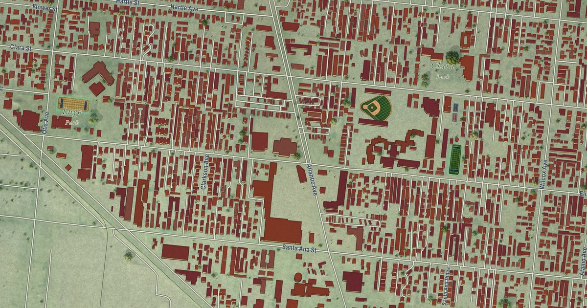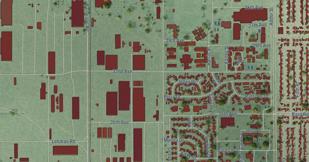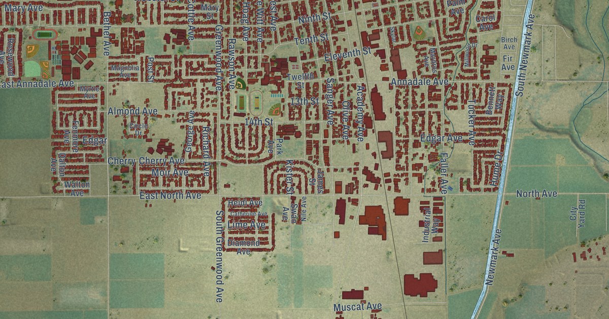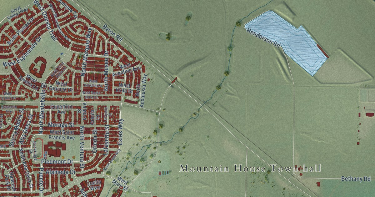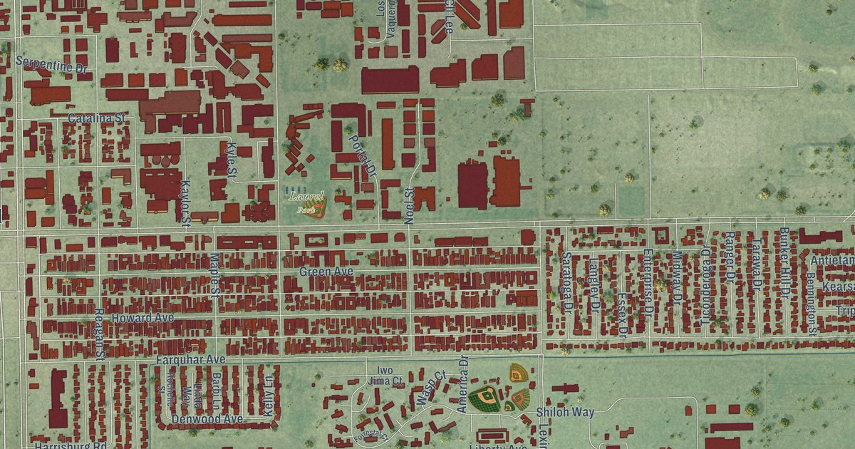
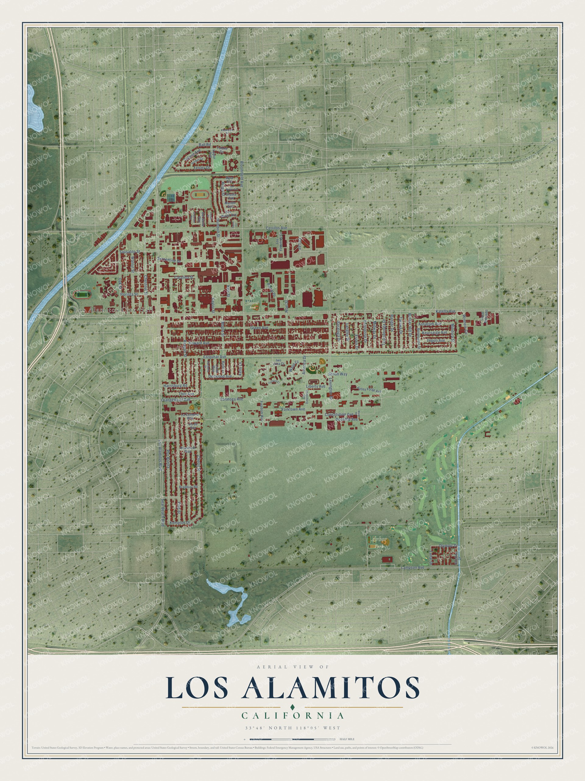
This beautifully detailed map of Los Alamitos, California was created in 2026 using aerial imagery combined with modern topographical, census, street and landmark data. It's a modern aerial view of Los Alamitos in Orange County, California, that combines modern data with a vintage aesthetic. The roads feature printed names, and if you look closely you can find your exact house accurately shown in its correct location.
Explore an aerial view of Los Alamitos, California
On this map you'll find Los Alamitos City Hall, Arbor Park, Laurel Park, Los Alamitos Boulevard, Chestnut Street, Olympic Drive, Orangewood Avenue, Denwood Avenue, Katella Avenue, Howard Avenue, Reagan Street, Bloomfield Avenue, and more. Each red shape is a building, so zoom in on the preview and look for yours.
Every town has a first chapter, and Los Alamitos is no exception. The Orange County History puts it this way: "Los Alamitos, named after a rancho of that name, is situated on Coyote Creek at the western boundary of the county nearly due west of Anaheim."
Los Alamitos is a city in Orange County. The Census Bureau counted 11,780 people here in 2020.
Take a closer look at the Los Alamitos map
Names on this map
These names are printed on this map.
Places: Los Alamitos City Hall, Arbor Park and Laurel Park.
Streets and roads: Los Alamitos Boulevard, Chestnut Street, Olympic Drive, Orangewood Avenue, Denwood Avenue, Katella Avenue, Howard Avenue, Reagan Street, Bloomfield Avenue, Cerritos Avenue, Green Avenue, Saratoga Avenue.
More street names, A to Z
America Drive, Antietam Avenue, Ball Road, Barbi Lane, Bennington Street, Bradbury Road, Bunker Hill Drive, Catalina Street, Cherry Street, Cll Lee, Constitution Avenue, Del Norte Way, Doolittle Avenue, El Dorado Way, Enterprise Drive, Essex Drive, Farquhar Avenue, Fenley Drive, Florista Street, Forrestal Court, Freedom Way, Gettysburg Avenue, Harrisburg Road, Holden Circle, Humbolt Street, Iwo Jima Court, Kaylor Avenue, Kaylor Street, Kearsarge Avenue, Kelly Lane, Kempton Drive, Kings Street, Kinmount Street, Kyle Street, La Colmena Way, Lampson Avenue, Langley Drive, Lassen Street, Lexington Drive, Liberty Avenue, Linda Way, Los Vaqueros Circle, Lunar Drive, Maple Street, Marion Avenue, Midway Drive, Mindora Street, Myra Avenue, Noel Street, Oak Street, Pine Street, Portal Drive, Pso Bonita, Ranger Drive, Rochelle Street, Rossmoor Way, San Bonito Avenue, San Mateo Avenue, Saratoga Drive, Satellite Drive, Sausalito Street, Seal Beach Boulevard, Serpentine Drive, Shasta Avenue, Shiloh Way, Sierra Circle, Tarawa Drive, Thor Avenue, Ticonderoga Drive, Toland Avenue, Toland Circle, Tripoli Avenue, Valley Forge Avenue, Via el Mercado, Vis de Ora, Walnut Street, Wasp Court, Wasp Road, Winners Circle, Yorktown Avenue.
Created by KNOWOL in 2026. The buildings are small red shapes, the roads carry their printed names, and shaded relief shows the shape of the land. The title panel reads "AERIAL VIEW OF LOS ALAMITOS CALIFORNIA" with 33°48' NORTH 118°05' WEST.
Hang it in the hallway, the office or the cabin, or give it to someone who left Los Alamitos and still calls it home. Open the preview and look for a street you know. See sizes and frames for the Los Alamitos map.