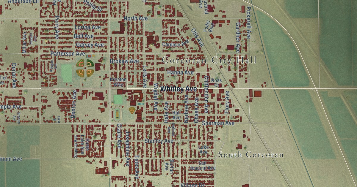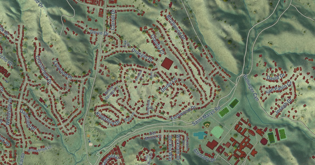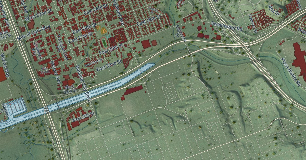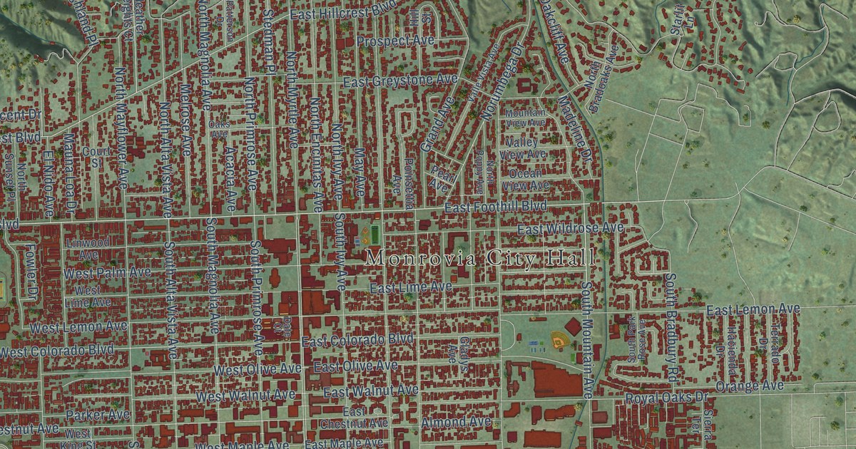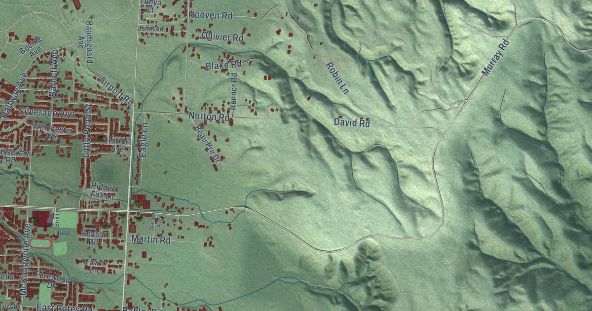
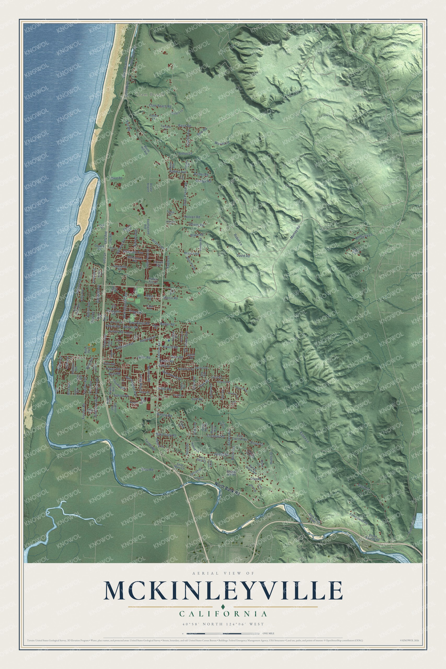
This beautifully detailed map of McKinleyville, California was created in 2026 using aerial imagery combined with modern topographical, census, street and landmark data. It's a modern aerial view of McKinleyville in Humboldt County, California, that combines modern data with a vintage aesthetic. The roads feature printed names, and if you look closely you can find your exact house accurately shown in its correct location.
Explore an aerial view of McKinleyville, California
On this map you'll find Calville, Clam Beach, Fisher, North Bank Road, Central Avenue, Murray Road, Cochran Road, Hammond Trail, Little Pond Street, Silverado Avenue, Nursery Road, Fischer Road, and more. Each red shape is a building, so zoom in on the preview and look for yours.
Every town has a first chapter, and McKinleyville is no exception. The Humboldt County History puts it this way: "Mr. Zehndner is deeply interested in the subject of forestry, his interest finding expression in the raising of eucalyptus trees on two hundred acres of land at McKinleyville."
McKinleyville is a community in Humboldt County. The Census Bureau counted 16,262 people here in 2020.
Take a closer look at the McKinleyville map
Names on this map
These names are printed on this map.
Places: Calville, Clam Beach, Fisher, Arcata Airport and Hiller Park.
Streets and roads: North Bank Road, Central Avenue, Murray Road, Cochran Road, Hammond Trail, Little Pond Street, Silverado Avenue, Nursery Road, Fischer Road, Heartwood Drive, Bartow Road, Essex Lane.
More street names, A to Z
Adkins Road, Airport Road, Anderson Avenue, Anderson Road, Archer Road, Arthur Lane, Ashdown Avenue, Azalea Avenue, Baadsgaard Avenue, Babler Road, Baird Road, Balboa Avenue, Bank Road North, Barnett Avenue, Bates Road, Beau Pre Drive, Bella Vista Road, Belnor Road, Berg Avenue, Betty Court, Birch Avenue, Bird Avenue, Blackbird Avenue, Blackhawk Lane, Blake Road, Blue Bird Lane, Boeing Avenue, Bolier Avenue, Boss Road, Bush Avenue, Camellia Drive, Chaffin Avenue, Chance Lane, Chapel Hill Road, Chelsea Way, Clam Beach Drive, Clam Beach Road, Clay Road, Cliff Avenue, Collart Creek Road, Columbus Avenue, Creek Court, Daffodil Avenue, Dahlia Road, David Road, Dena Drive, Dogwood Road, Dolak Road, Douack Road, Douglas Avenue, Dows Prairie Road, Dragonfly Drive, Eagle Lane, East Bates Road, East Cochran Road, Elm Avenue, Elyse Lane, Essex Gulch Road, Essex Springs Road, Eucalyptus Road, Fawn Lane, Fernwood Drive, First Street, Fischer Avenue, Forson Road, Fortune Street, Fritz Road, Gassaway Road, Grace Avenue, Grange Road, Gwinn Road, Gwin Road, Halfway Avenue, Harper Avenue, Haven Lane, Hayes Road, Henry Lane, Hewitt Road, Hidden Fox Lane, Hidden Pond Drive, Hiller Road, Hilltop Lane, Holly Drive, Holmes Drive, Hooven Road, Horrell Avenue, Hughes Avenue, Hughs Way, Hunts Drive, Ian Lane, Jensen Drive, Johnson Lane, Junker Road, Kara Lane, Kelly Avenue, Kjer Road, Knox Cove Avenue, Leona Drive, Letz Avenue, Letz Lane, Lily Road, Lime Avenue, Linda Way, Little River, Little River Drive, Lost Avenue, Luna Avenue, Martin Road, Mason Way, McKinleyville Avenue, Meyers Road, Noah Avenue, Norton Road, Ocean Drive, Ollivier Road, Orrin's Lane, Park Road, Penn Avenue, Pickett Road, Pine Avenue, Quail Run Court, Railroad Avenue, Railroad Drive, Reasor Road, Redberry Lane, Renner Road, Rita Avenue, Robin Lane, Rose Lane, Saint Maru Lane, Salmon Avenue, School Road, Scott Road, Second Street, Sheldon Drive, Silkwood Street, Silva Road, Skeet Road, Springer Avenue, Spur Road, Stapp Road, Sunny Grove Avenue, Sutter Road, Sycamore Court, Tantara Lane, Tasi Lane, Terrace Gardens, Terra Vista Court, Thiel Avenue, Timmons Road, Timothy Road, Tom Road, Tonya Court, Totten Lane, Travis Court, Turner Road, Verwer Avenue, Vine Avenue, Visser Court, Vista Drive, Walker Avenue, Walnut Avenue, Warner Avenue, Washington Avenue, Waters Avenue, West Bates Road, William Court, Winchester Avenue, Windsor Avenue, Woods Lane, Worth Hill Avenue, Wrangler Court.
Created by KNOWOL in 2026. The buildings are small red shapes, the roads carry their printed names, and shaded relief shows the shape of the land. The title panel reads "AERIAL VIEW OF MCKINLEYVILLE CALIFORNIA" with 40°58' NORTH 124°06' WEST.
Hang it in the hallway, the office or the cabin, or give it to someone who left McKinleyville and still calls it home. Open the preview and look for a street you know. See sizes and frames for the McKinleyville map.