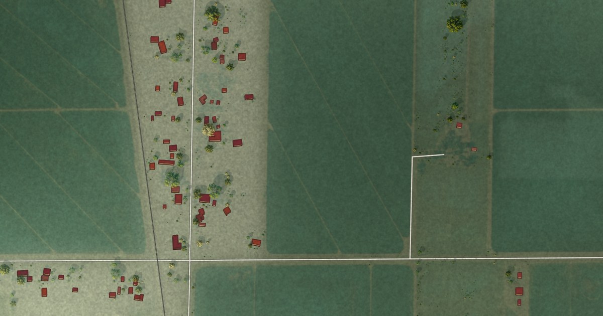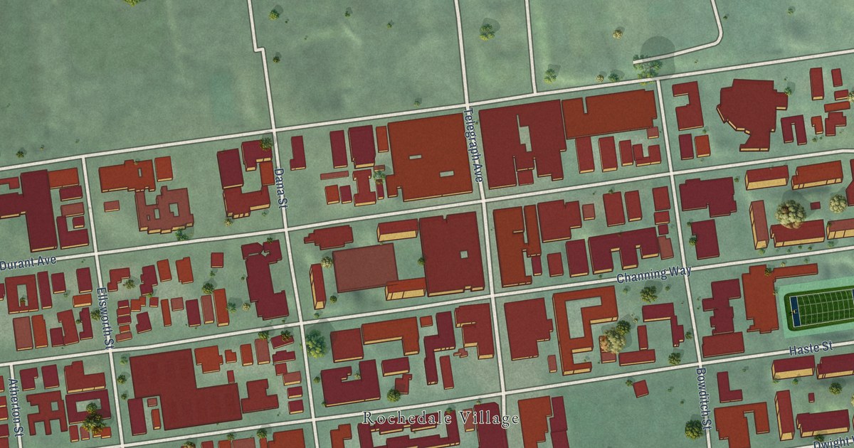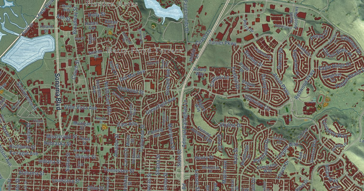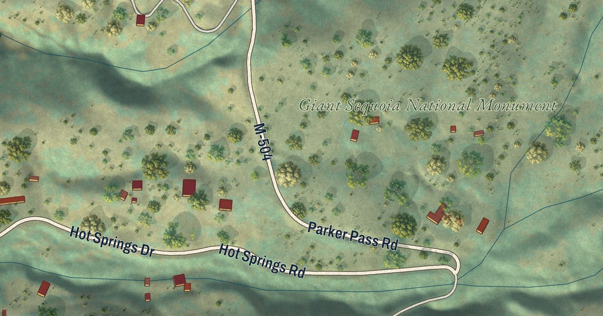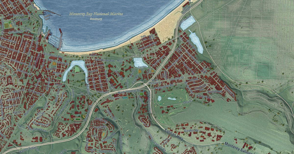
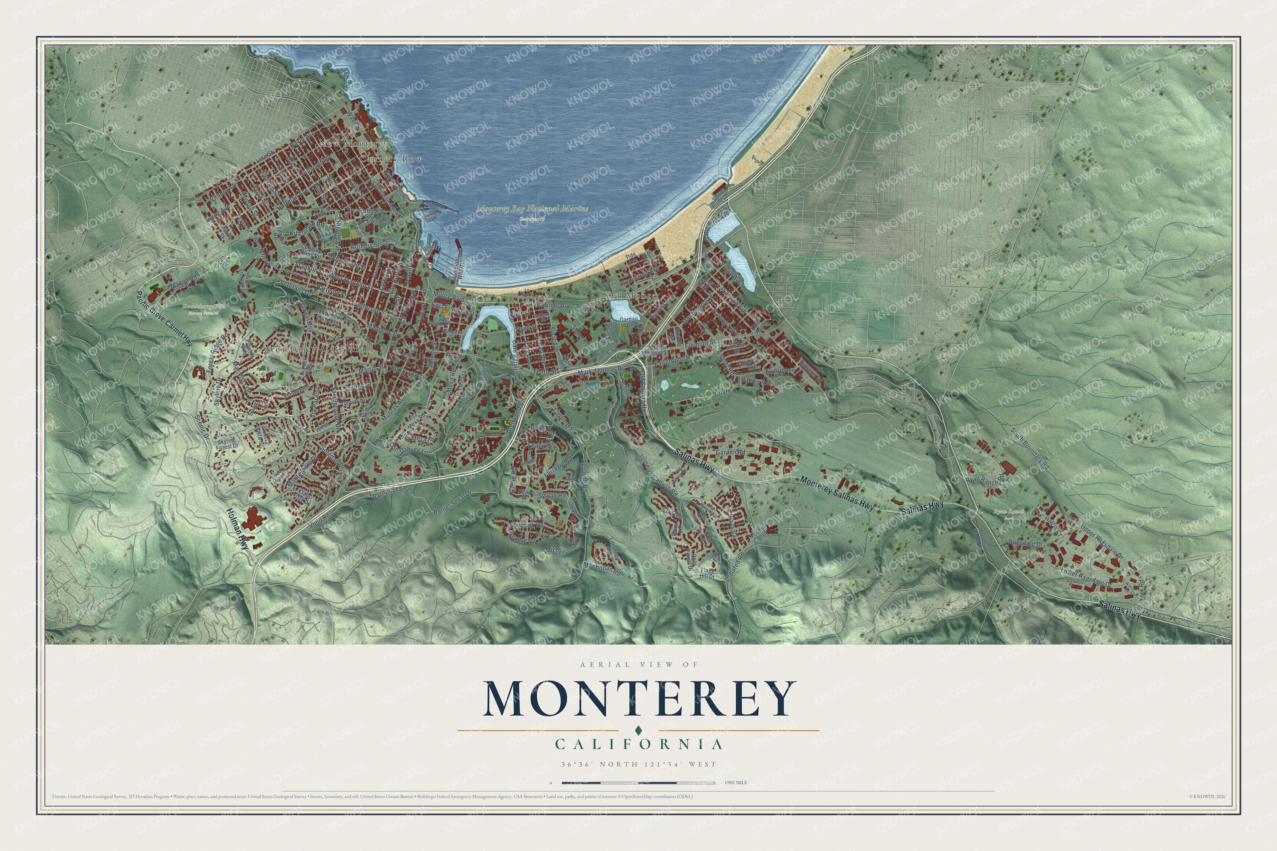
This beautifully detailed map of Monterey, California was created in 2026 using aerial imagery combined with modern topographical, census, street and landmark data. It’s a one-of-a-kind view of Monterey that combines accurate data with a vintage aesthetic. The map shows every building in its true location, many of the roads carry their names, and the shaded topographic relief shows the shape of the land.
Explore an aerial view of Monterey, California
On the map you’ll find Monterey City Hall, Huckleberry Hill Nature Preserve, Monterey Bay National Marine Sanctuary, Ryan Ranch Park, Cannery Row, Del Monte, New Monterey, and Ohare, along with Holman Highway, Monterey Salinas Highway, Salinas Highway, Roberts Avenue, and more. If you look closely you can even find your house accurately drawn in its correct location. Zoom in on the preview to look for yours.
Did you know this piece of Monterey, California history?
From Ohp.parks.ca.gov: "Walter Colton, first American alcalde in Monterey, erected this building as a public hall and schoolhouse, he and Robert Semple established California's first American newspaper in Monterey on August 15, 1846."
Take a closer look at the Monterey map
Street and place names on the Monterey, California map
These names are printed on the map of Monterey, California.
Places: Monterey City Hall, Huckleberry Hill Nature Preserve, Monterey Bay National Marine Sanctuary, Ryan Ranch Park, Cannery Row, Del Monte and New Monterey.
Streets and roads: Holman Highway, Monterey Salinas Highway, Salinas Highway, Ohare, Roberts Avenue, Martin Street, Del Monte Boulevard, Shubrick Road, Line Street, Pierce Street, Mark Thomas Drive, San Bernabe Drive.
More street names, A to Z
Abrego Street, Aguajito Road, Airport Road, Alameda Street, Alcalde Avenue, Alta Mesa Circle, Alta Mesa Road, Army Street, Artillery Street, Barnet Segal Drive, Barnet Segal Lane, Bergin Drive, Cam Aguajito, Casanova Avenue, Cass Street, Castro Road, Cielo Vista Drive, Cll Principal, Colton Street, Corporal Evans Road, Cuesta Vista Drive, Dana Place, David Avenue, Decatur Street, Deer Forest Drive, Deer Stalker Path, Dela Vina Avenue, Del Monte Avenue, Del Monte Center, Don Dahvee Lane, Dundee Drive, Dunecrest Avenue, East Franklin Street, East Road, Edinburgh Avenue, El Caminito del Norte, El Dorado Street, Eldorado Street, Elk Run, Encina Avenue, English Avenue, Euclid Avenue, Ewing Road, Fairground Road, Farragut Road, Fawn Lane, Filmore Street, First Street, Fishnet Road, Flagg Hill Drive, Foothill Boulevard, Forest Ridge Road, Franklin Street, Fremont Street, Garden Avenue, Garden Drive, Garden Road, Glenwood Circle, Grant Avenue, Grove Street, Halleck Road, Halsey Avenue, Halsey Drive, Harris Court, Harrison Street, Hoffman Avenue, Infantry Street, Iris Canyon Road, Irving Avenue, Jefferson Street, Jessie Street, Josselyn Canyon Road, Justin Court, Kit Carson Road, Kolb Avenue, Laine Street, Lake Drive, La Playa Street, Larkin Street, Lawton Road, Leahy Road, Leidig Road, Lighthouse Avenue, Lily Street, Linda Vista Place, Littlefield Road, Lower Ragsdale Drive, Lyndon Street, Madison Street, Mar Vista Drive, Mason Road, Mervine Street, Mesa Road, Michelson Road, Monhollan Road, Montecito Avenue, Monterra Ranch Road, Monte Vista Drive, Montsalas Drive, Moreell Circle, Municipal Wharf 2, Munras Avenue, North Fremont Street, North Street, Oak Street, Ocean Avenue, Old Golf Course Road, Old Salinas Highway, Olmsted Road, Oro Road, Pacific Grove-Carmel Highway, Pacific Street, Park Avenue, Patton Avenue, Pearl Street, Perry Lane, Pinehill Way, Pine Street, Prescott Avenue, Pvt Bolio Road, Ragsdale Drive, Ralston Drive, Ramona Avenue, Revere Road, Roosevelt Street, Ryan Ranch Road, Sand Dunes Drive, Scenic Drive, School, Second Street, Seeno Street, Serra Avenue, Shady Lane, Skyline Drive, Skyline Forest Drive, Sloat Avenue, Soledad Drive, South Boundary Road, Spencer Street, Ssg Fronins Street, Stillwell Avenue, Stone Road, Surf Way, Sylvan Road, Taylor Street, Tenth Street, Terry Street, Third Street, Tide Avenue, Twin Oaks Road, Tyler Street, University Way, Upper Ragsdale Drive, Van Buren Street, Veterans Drive, Via Castanada, Via del Pinar, Via del Rey, Via Gayuba, Via Isola, Via Lavandera, Via Marettimo, Via Mirada, Via Paraiso, Via Ventura, Viejo Road, Virgin Avenue, Wainwright Street, Watson Street, Wave Street, Webster Street, Wellings Place, West Franklin Street, West Rifle Range Road, West Road, Wharf 1, White Tail Lane, Wilks Lane, Wilson Road, Withers Avenue, Yerba Buena Court, York Road.
See the Monterey, California map on a wall
The Monterey map as an 18 x 24 inch print in a black frame.

This beautifully detailed map of Monterey makes an attractive addition to your office, library, or den, and it can even be used to teach children the geography and history of the area. It also makes a great gift for someone who left Monterey and still calls it home. When you’re done exploring, click here to get your copy of the Monterey map.