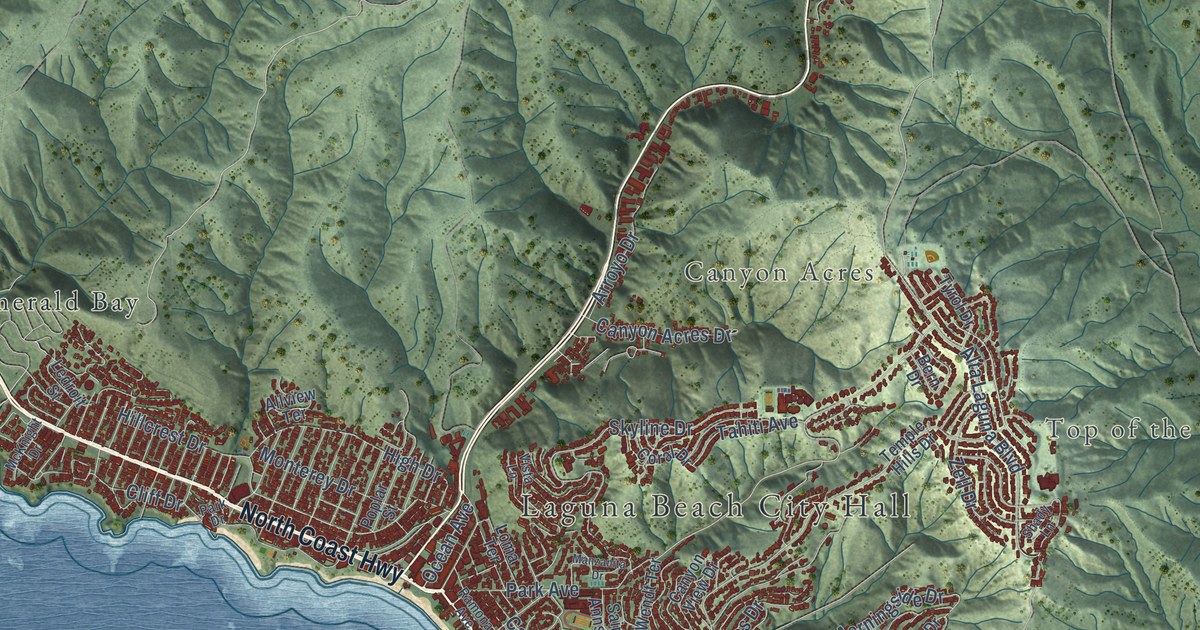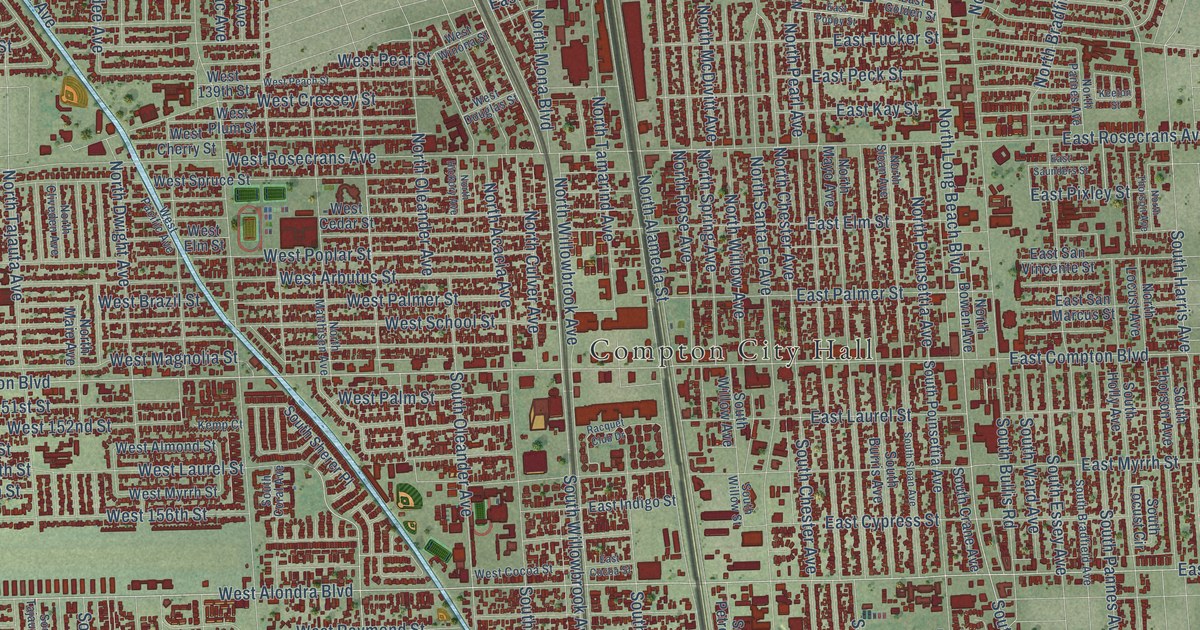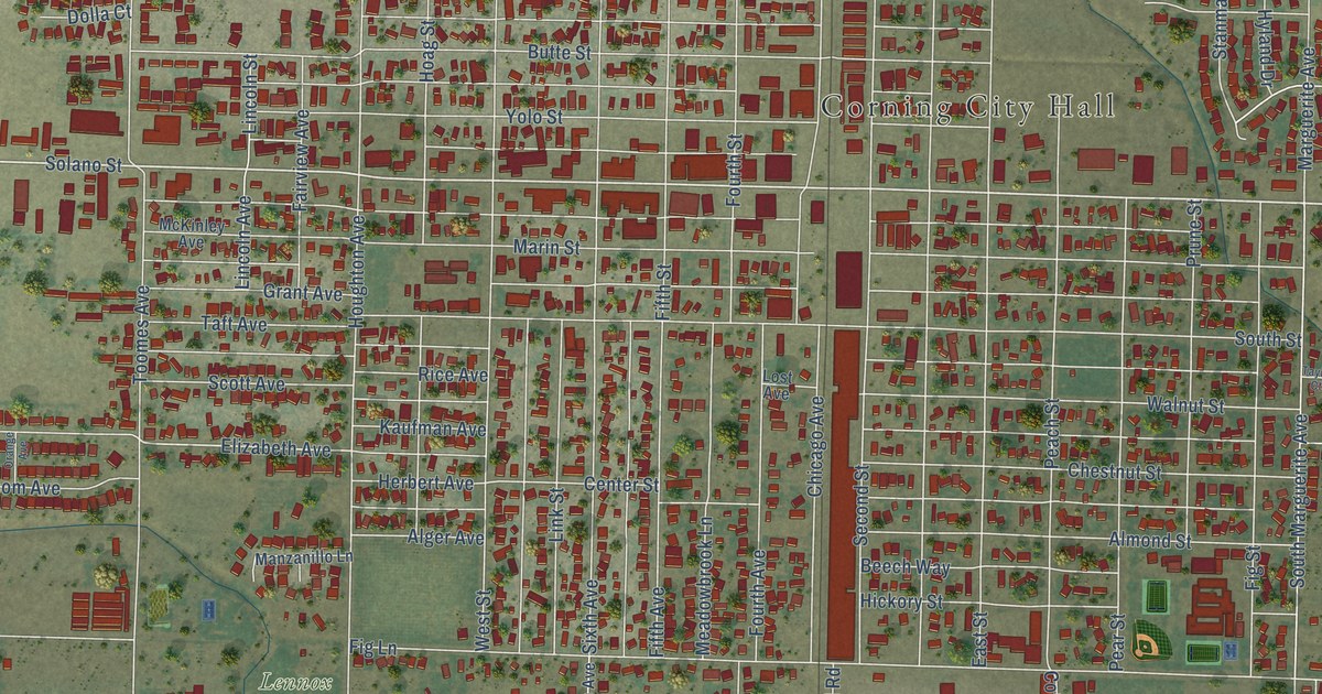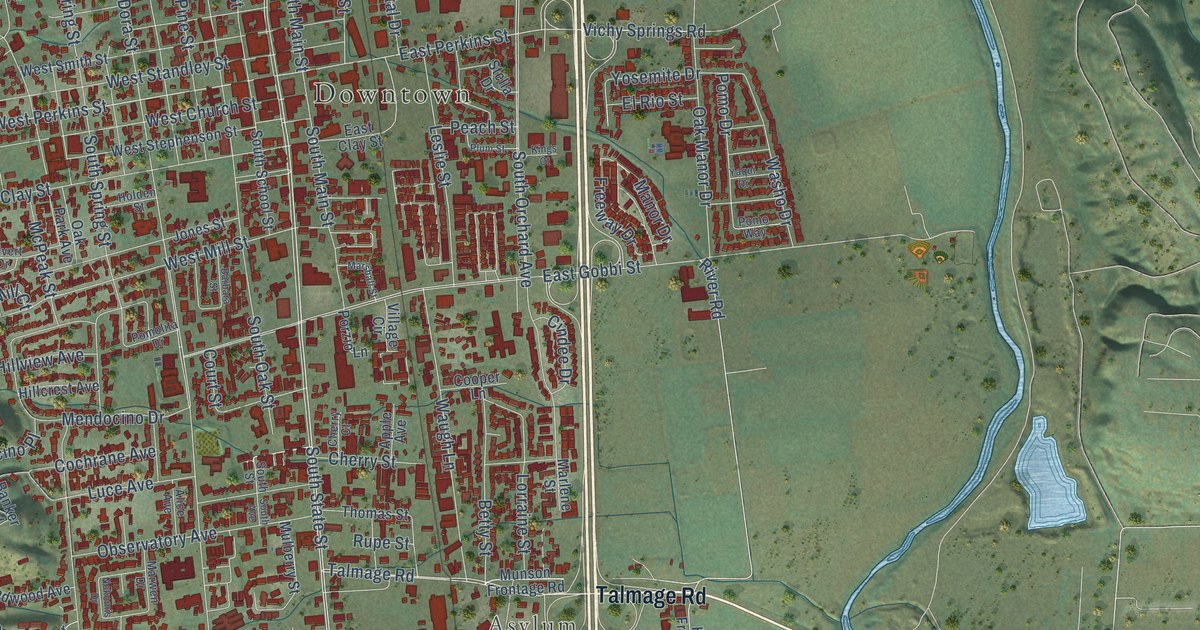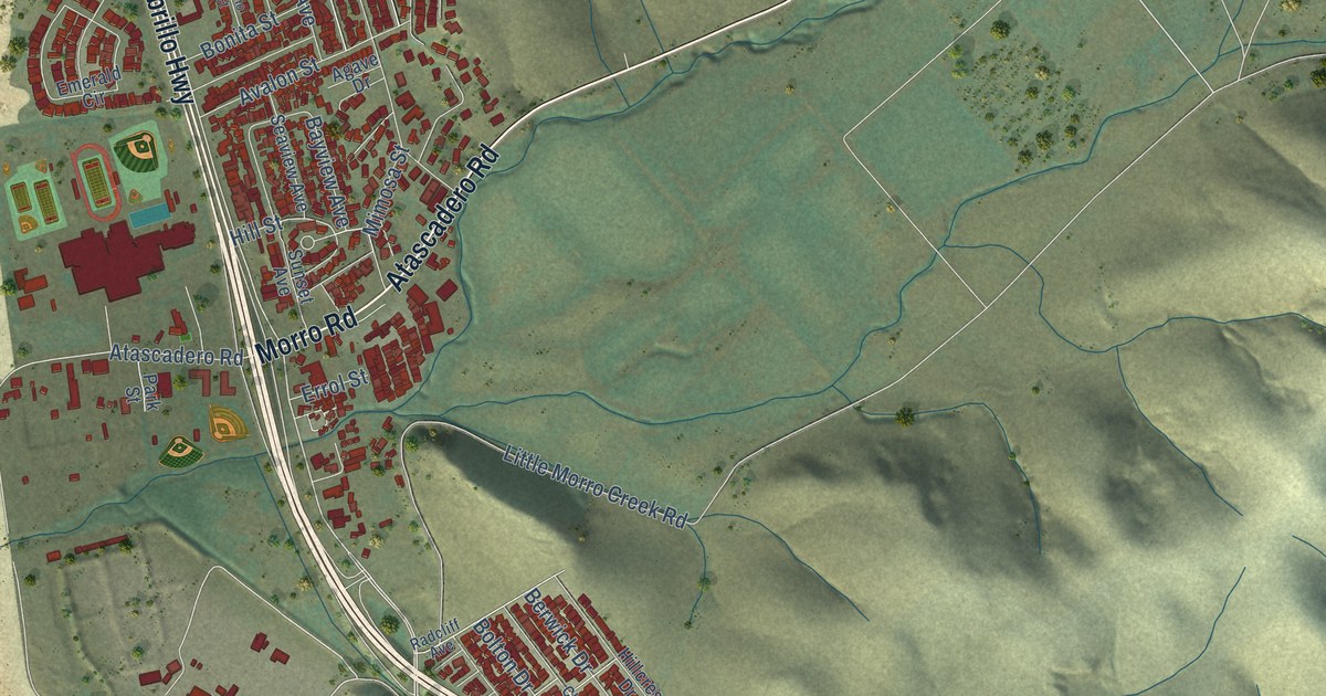
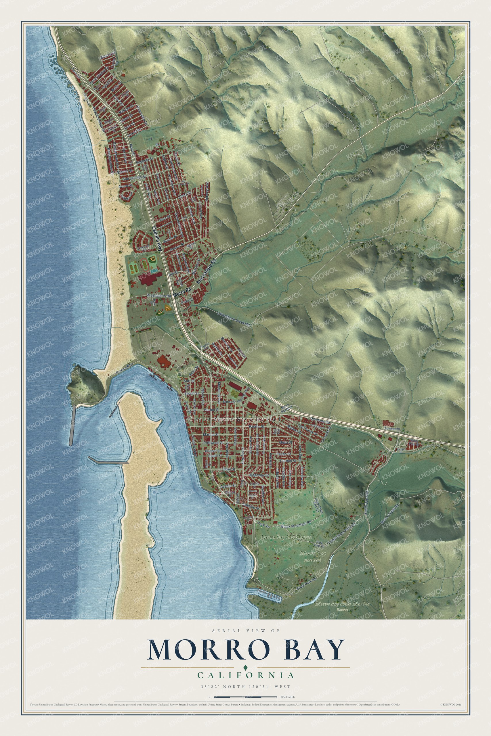
This beautifully detailed map of Morro Bay, California was created in 2026 using aerial imagery combined with modern topographical, census, street and landmark data. It's a modern aerial view of Morro Bay in San Luis Obispo County, California, that combines modern data with a vintage aesthetic. The roads feature printed names, and if you look closely you can find your exact house accurately shown in its correct location.
Explore an aerial view of Morro Bay, California
On this map you'll find City of Morro Bay City Hall, Morro Bay State Park, Morro Bay State Marine Reserve, Morro Bay Golf Course, Cabrillo Highway, Atascadero Road, Morro Road, Quintana Road, Piney Way, Park Vw, Shasta Avenue, Cabrillo Place, and more. Each red shape is a building, so zoom in on the preview and look for yours.
Morro Bay is a city in San Luis Obispo County. The Census Bureau counted 10,757 people here in 2020. The map prints the town name in its title panel, with the coordinates below it.
Take a closer look at the Morro Bay map
Names on this map
These names are printed on this map.
Places: City of Morro Bay City Hall, Morro Bay State Park, Morro Bay State Marine Reserve and Morro Bay Golf Course.
Streets and roads: Cabrillo Highway, Atascadero Road, Morro Road, Quintana Road, Piney Way, Park Vw, Shasta Avenue, Cabrillo Place, State Park Road, Blanca Street, Panorama Drive, Main Street.
More street names, A to Z
Acacia Street, Agave Drive, Alder Avenue, Aleppo Drive, Allesandro Street, Alta Court, Anchor Street, Arbutus Avenue, Arcadia Avenue, Avalon Street, Azure Street, Balboa Street, Bali Street, Barlow Lane, Bay Avenue, Bayshore Drive, Bayview Avenue, Beachcomber Drive, Beachcomber Street, Beach Street, Bernardo Avenue, Berwick Drive, Birch Avenue, Black Mountain Road, Bolton Drive, Bonita Street, Bradley Avenue, Carmel Street, Cedar Avenue, Center Court, Clarabelle Drive, Coleman Drive, Coral Avenue, Driftwood Street, Dunes Street, Eighth Street, Elena Street, Elm Avenue, Embarcadero, Emerald Circle, Errol Street, Estero Avenue, Fairview Avenue, Fig Street, Fir Avenue, Fresno Avenue, Front Street, Greenwood Avenue, Harbor Street, Hemlock Avenue, Hillcrest Drive, Hill Street, Indigo Circle, Ironwood Avenue, Island Street, Java Street, Juniper Avenue, Kennedy Way, Kern Avenue, Kings Avenue, Koa Avenue, Kodiak Street, La Loma Street, Las Tunas Street, Las Vegas Street, Laurel Avenue, Little Morro Creek Road, Lower State Park Road, Luisita Street, Luzon Street, Maple Avenue, Marina Street, Market Avenue, Mesa Street, Mimosa Street, Mindoro Street, Monterey Avenue, Morro Avenue, Morro Bay Boulevard, Morro Creek Road, Morro Cv, Napa Avenue, Nassau Street, Nutmeg Avenue, Oceanside Drive, Olive Street, Orcas Street, Pacific Street, Panay Street, Park Street, Park View Drive, Paula Street, Pecho Street, Pico Street, Piney Lane, Radcliff Avenue, Reno Court, Ridgeway Street, Sandalwood Avenue, San Jacinto Street, San Joaquin Street, Scott Street, Seaview Avenue, Sequoia Street, Sicily Street, Sienna Street, South Bay Boulevard, South Street, Sunset Avenue, Surf Street, Tahiti Street, Tenth Street, Teresa Drive, Tide Avenue, Toro Lane, Tulare Avenue, Tuscan Avenue, Upper State Park Road, Vashon Street, Walnut Street, West Avenue, White Pine Drive, Yerba Buena Street.
Created by KNOWOL in 2026. The buildings are small red shapes, the roads carry their printed names, and shaded relief shows the shape of the land. The title panel reads "AERIAL VIEW OF MORRO BAY CALIFORNIA" with 35°22' NORTH 120°51' WEST.
It looks right in a kitchen, an office or a den, and it's a gift for anyone who grew up in Morro Bay or moved away. Open the preview and find your street. See sizes and frames for the Morro Bay map.