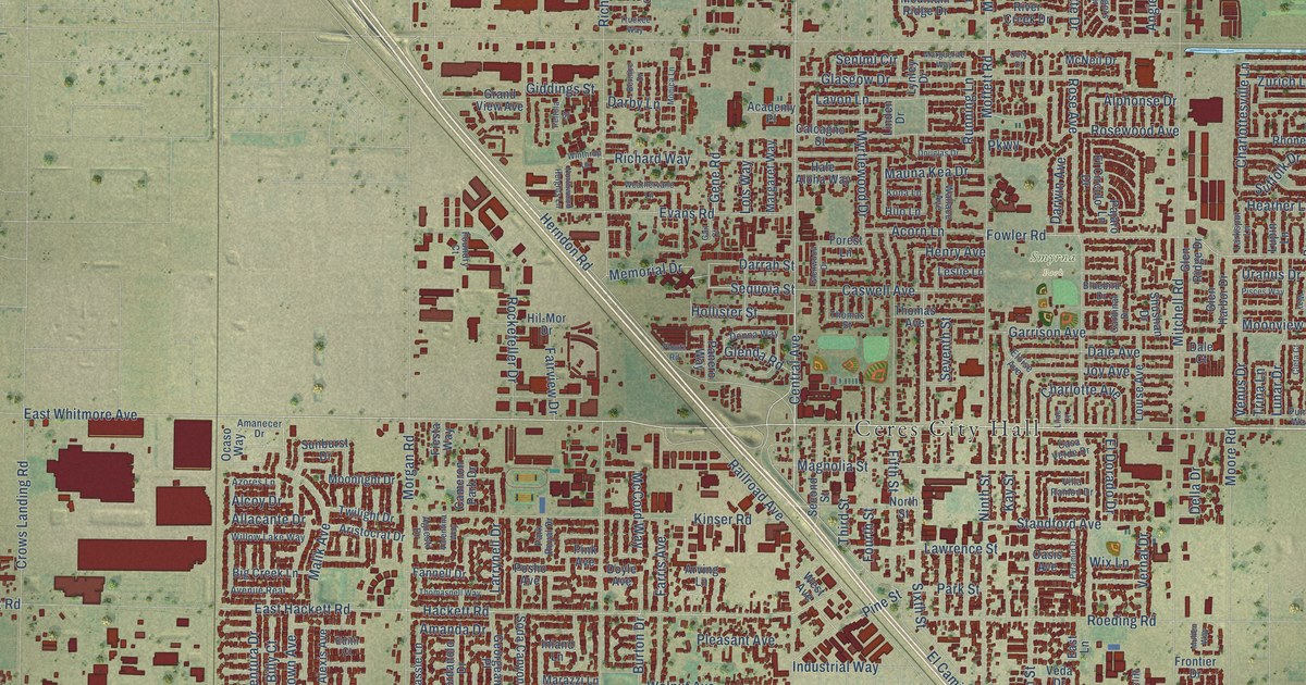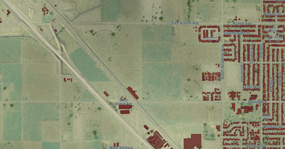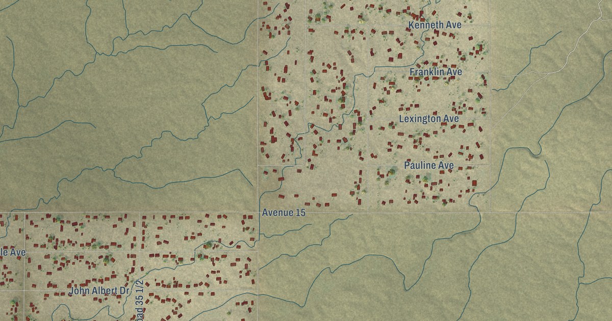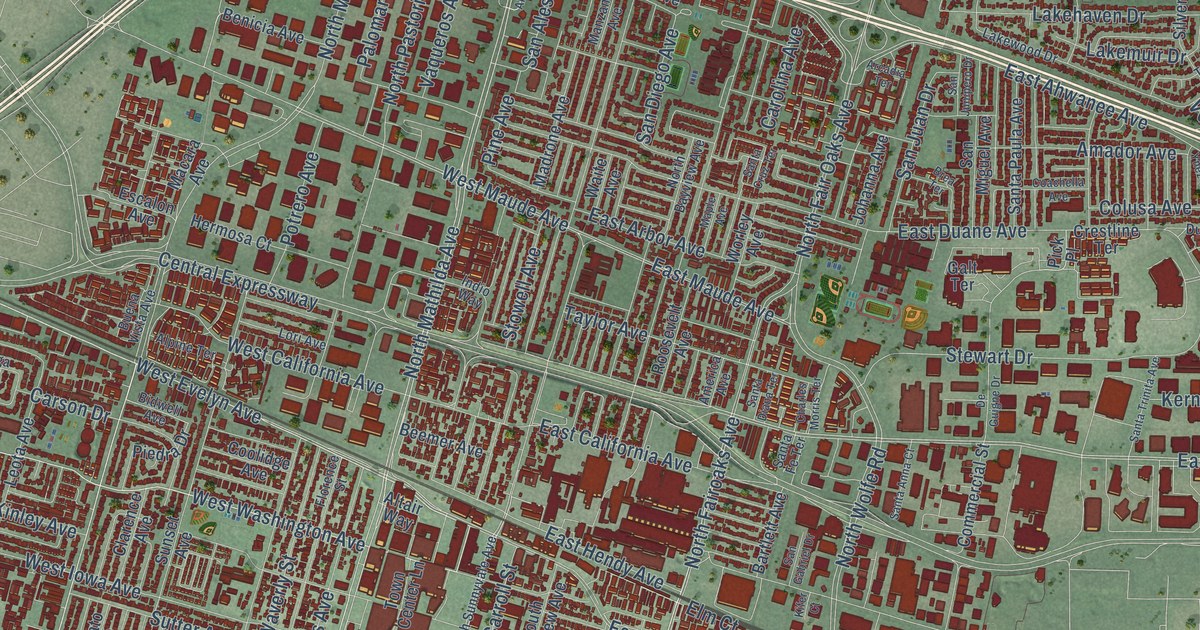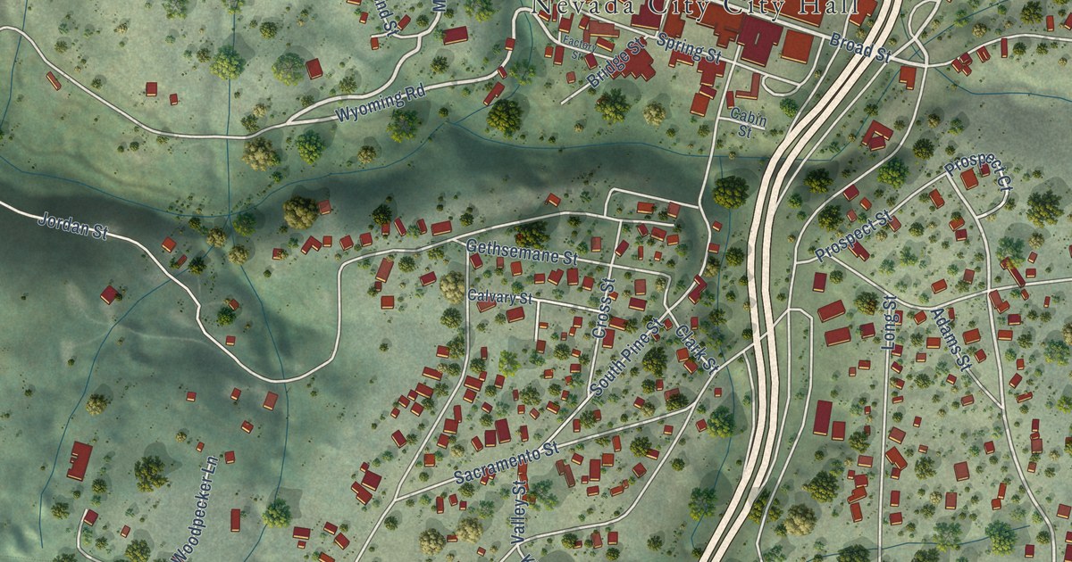
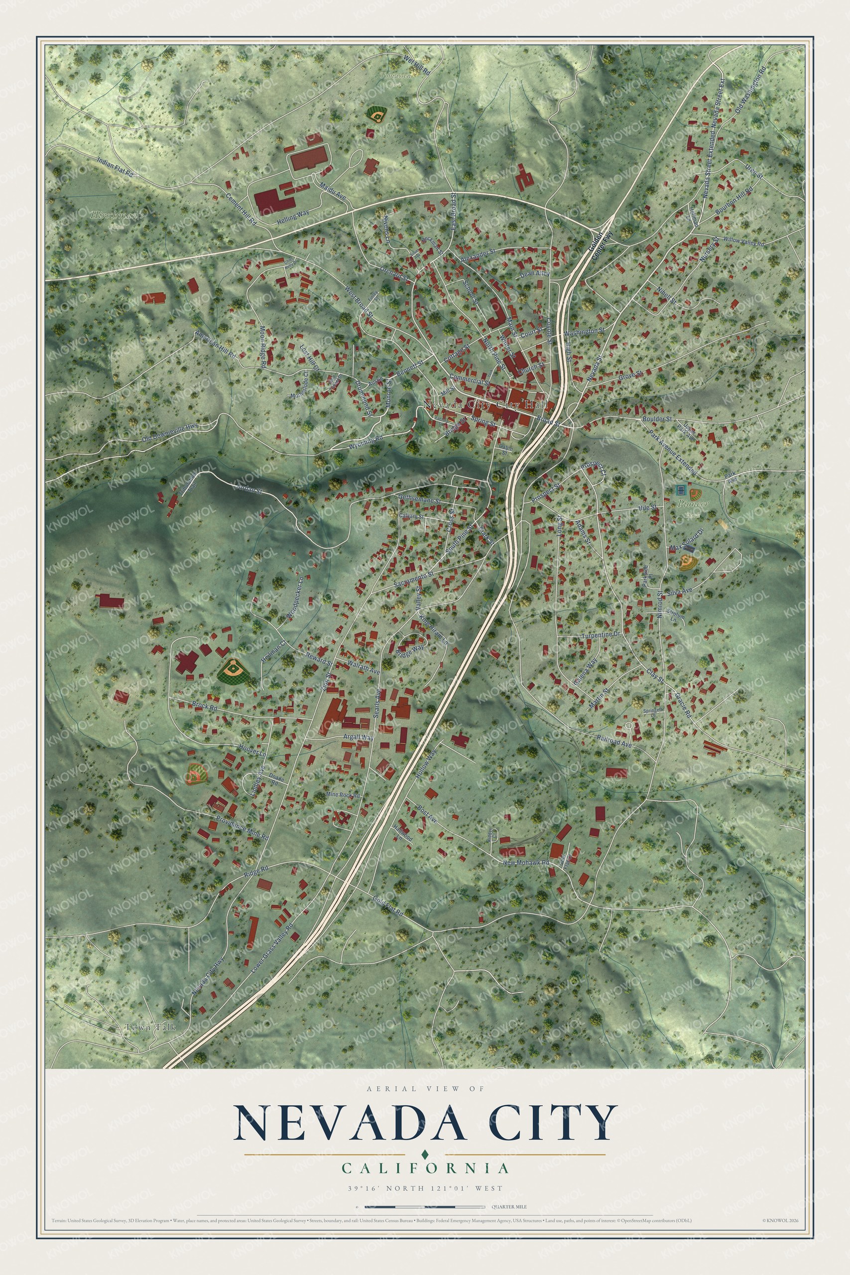
This beautifully detailed map of Nevada City, California was created in 2026 using aerial imagery combined with modern topographical, census, street and landmark data. It's a modern aerial view of Nevada City in Nevada County, California, that combines modern data with a vintage aesthetic. The roads feature printed names, and if you look closely you can find your exact house accurately shown in its correct location.
Explore an aerial view of Nevada City, California
On this map you'll find Hirschman's Pond, Pioneer Park, Tobiassen Park, Town Talk, Nevada Street, Broad Street, Monroe Street, Bennett Street, Wyoming Road, Nevada Street Extended, Nevada Street Extension, Clay Street, and more. Each red shape is a building, so zoom in on the preview and look for yours.
Nevada City has a story worth telling. The record at ohp.parks.ca.gov puts it this way: "The National Exchange Hotel opened for business on August 20, 1856, the exterior is virtually unchanged since its construction as three brick buildings in 1856."
Nevada City is a city in Nevada County. The Census Bureau counted 3,152 people here in 2020.
Take a closer look at the Nevada City map
Names on this map
These names are printed on this map.
Places: Nevada City City Hall, Hirschman's Pond, Pioneer Park, Tobiassen Park and Town Talk.
Streets and roads: Nevada Street, Broad Street, Monroe Street, Bennett Street, Wyoming Road, Nevada Street Extended, Nevada Street Extension, Clay Street, Gracie Road, East Broad Street, New Mohawk Road, Prospect Court.
More street names, A to Z
Adams Street, Alexander Street, American Hill Road, Argall Way, Austin, Beckman Street, Bost Avenue, Boulder Street, Bourbon Hill Road, Bridge Street, Bridge Way, Brock Road, Cabin Street, Calvary Street, Cement Hill Road, Chief Kelly Drive, Church Street, Clark Street, Commercial Street, Cottage Street, Court Street, Coyote Street, Cross Street, Dean Alley, Doane Road, Drummond Street, Factory Street, Finley Street, Galena Way, Gethsemane Street, Golden Center Fwy, Gold Flat Court, Gold Flat Road, Gold Tunnel Drive, Grove Street, Hallwood Lane, Heilman Court, Helling Way, High Street, Hoffman Lane, Hollow Way, Hoover Lane, Indian Flat Road, Jordan Street, Kidder Court, King Hiram Lane, Lindley Avenue, Long Street, Lost Hill Court, Lower Grass Valley Road, Maidu Avenue, Main Street, Martin Street, Max Solard Drive, Mill Street, Mine Rock Road, Moon Ridge Road, Motherlode Court, Nevada City Highway, Nihell Street, Nile Street, Nimrod Street, Nivens Lane, North Pine Street, Nursery Street, Old Downieville Highway, Old Washington Road, Orchard Street, Park Avenue, Park Avenue Extended, Parkside Place, Prospect Street, Providence Mine Road, Railroad Avenue, Reward Street, Ridge Road, Sacramento Street, School Street, Searls Avenue, Silva Avenue, Silver Avenue, South Pine Street, Springett Lane, Spring Street, Strolum Lane, Tribulation Trail, Turpentine Drive, Upper Park Avenue, Uren Street, Valley Street, Walrath Avenue, Washington Street, West Broad Street, Wet Hill Road, Willow Valley Road, Winter Street, Woodpecker Lane, York Street, Zion Street.
Created by KNOWOL in 2026. The buildings are small red shapes, the roads carry their printed names, and shaded relief shows the shape of the land. The title panel reads "AERIAL VIEW OF NEVADA CITY CALIFORNIA" with 39°16' NORTH 121°01' WEST.
It looks right in a kitchen, an office or a den, and it's a gift for anyone who grew up in Nevada City or moved away. Open the preview and find your street. See sizes and frames for the Nevada City map.