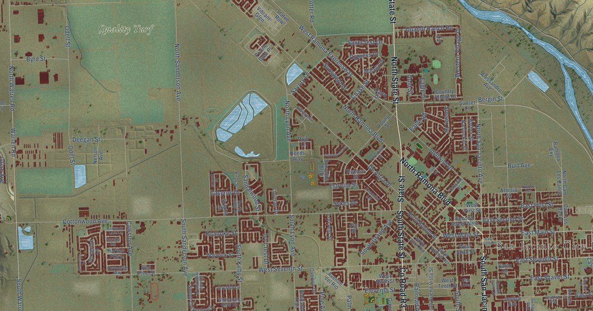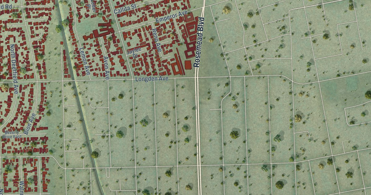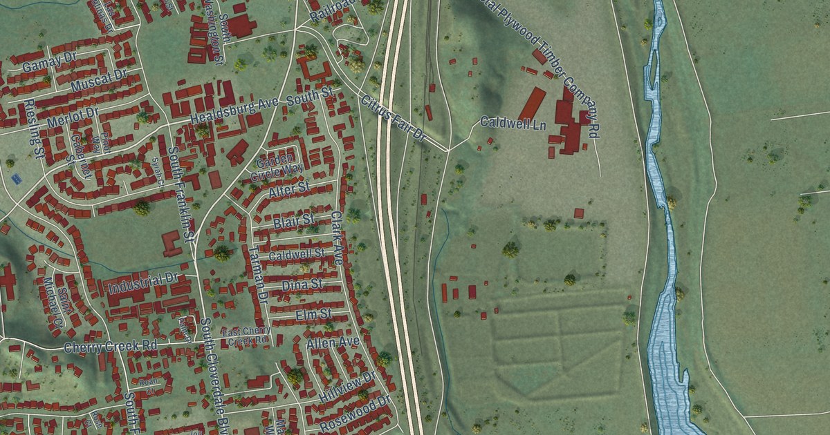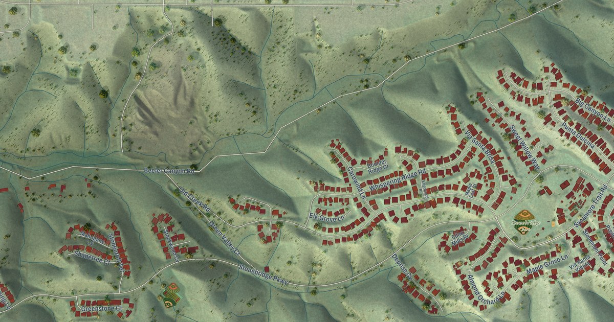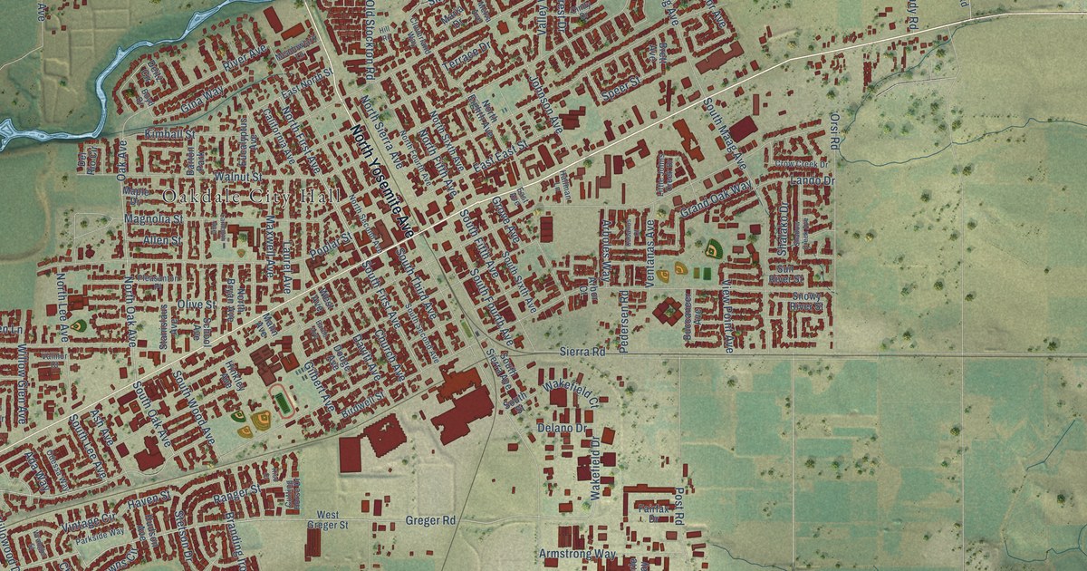
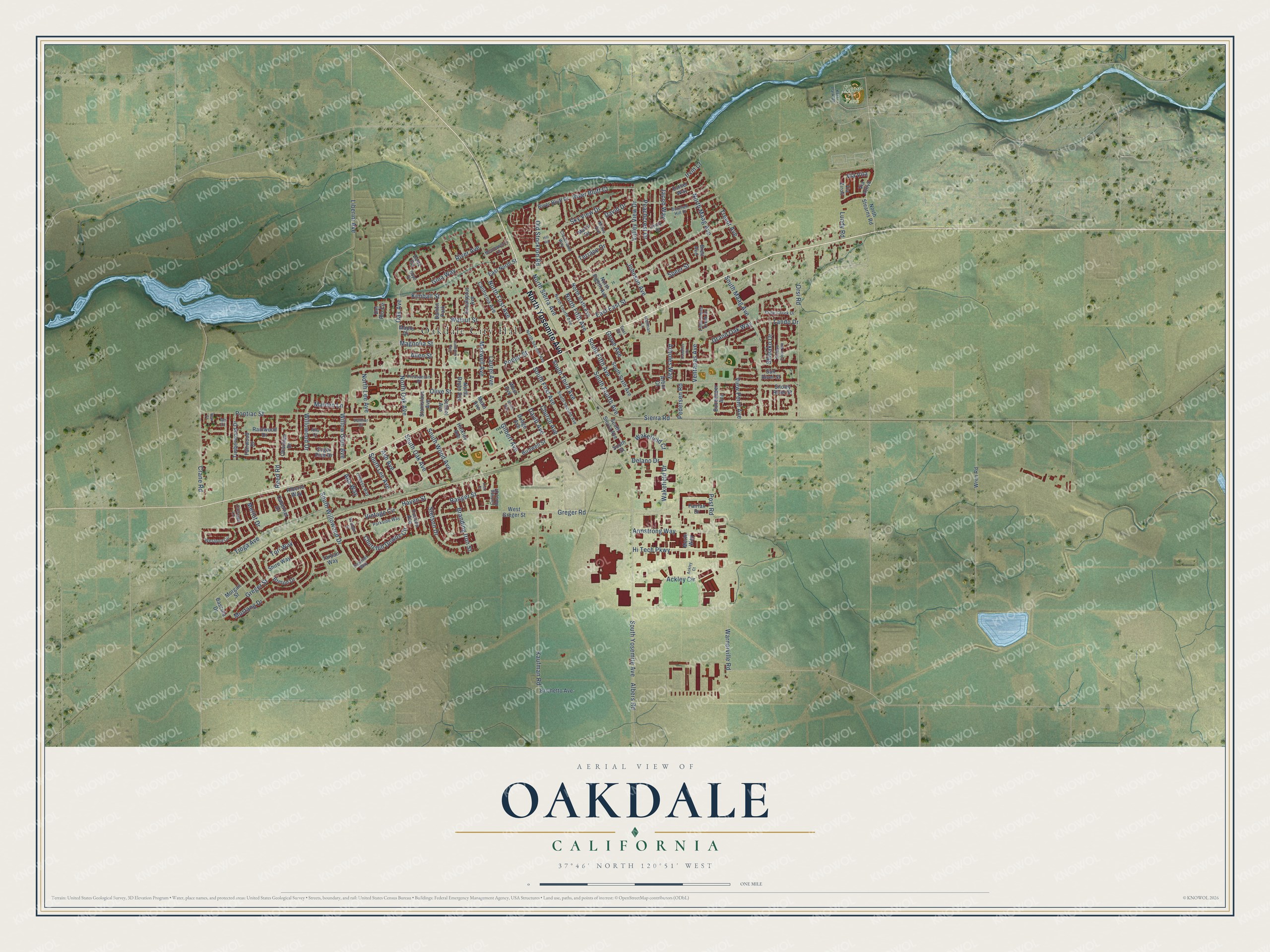
This beautifully detailed map of Oakdale, California was created in 2026 using aerial imagery combined with modern topographical, census, street and landmark data. It's a modern aerial view of Oakdale in Stanislaus County, California, that combines modern data with a vintage aesthetic. The roads feature printed names, and if you look closely you can find your exact house accurately shown in its correct location.
Explore an aerial view of Oakdale, California
On this map you'll find Oakdale City Hall, Kerr Park, North Yosemite Avenue, Greger Street, Mustang Drive, North First Avenue, Greger Road, North Oak Avenue, South Oak Avenue, South First Avenue, Merlot Drive, Wakefield Drive, and more. Each red shape is a building, so zoom in on the preview and look for yours.
Every town has a first chapter, and Oakdale is no exception. The Internet Archive puts it this way: "Branch says the
town was founded in 1871 by Patterson, Purcell and Jackson and the deeds to the
town lots bear their signatures."
Oakdale is a city in Stanislaus County. The Census Bureau counted 23,181 people here in 2020.
Take a closer look at the Oakdale map
Names on this map
These names are printed on this map.
Places: Oakdale City Hall, Kerr Park and Barton Park.
Streets and roads: North Yosemite Avenue, Greger Street, Mustang Drive, North First Avenue, Greger Road, North Oak Avenue, South Oak Avenue, South First Avenue, Merlot Drive, Wakefield Drive, Via Vita, River Bluff Court.
More street names, A to Z
Ackley Circle, Ackley Court, Ada Way, Albers Road, Alberto Way, Allen Street, Alta Court, Arboles Way, Arbor Court, Armstrong Way, Ash Avenue, Bardo Avenue, Bascule Drive, Birdwell Street, Boyd Drive, Branding Iron Street, Breton Drive, Brett Avenue, Brichetto Avenue, Buccaneer Avenue, Burchell Hill Drive, Caballos Court, Cabernet Drive, California Avenue, Calumet Way, Carriage Lane, Church Avenue, Churchill Downs Circle, Cindy Drive, Cloverland Way, Crane Road, Crow Creek Drive, Cutting Horse Drive, David Drive, Davitt Avenue, Deitz Circle, Delano Drive, Del Rio Circle, Dodge Avenue, East Avenue, East East Street, East North Street, Esther Way, Eucalyptus Avenue, Fairfax Drive, Fairwood Drive, Gilbert Avenue, Gina Way, Grand Oak Way, Grove Avenue, Hallman Lane, Haven Street, Hill Road, Hinkley Avenue, Hi Tech Parkway, Hudson Avenue, Ian Court, Irvin Court, Jacob Way, Johnson Avenue, Kaufman Road, Kerr Park Drive, Kimball Street, Kiso Court, Lambuth Avenue, Lando Drive, Laurel Avenue, Liberini Avenue, Little Johns Creek Drive, Lundy Road, Magnolia Street, Maiden Lane, Mann Avenue, Maple Drive, Maria Drive, Maxwell Avenue, Meadowlark Lane, Melva Avenue, Merle Way, Morgan Street, New Court, North Bryan Avenue, North Eighth Avenue, North Fifth Avenue, North Fourth Avenue, North Lee Avenue, North Maag Avenue, North Second Avenue, North Sierra Avenue, North Sixth Avenue, North Stearns Road, Oak Avenue, Obsidian Drive, Odessa Way, Old Stockton Road, Olive Street, Orsi Road, Parkside Way, Peachcrest Drive, Pedersen Road, Pleasanton Place, Pontiac Street, Poplar Street, Post Road, Rainwood Drive, Ranger Street, Reed Road, River Avenue, River Bluff Drive, School Avenue, Shadow Creek Avenue, Shalako Drive, Shire Way, Sierra Road, Sky View Drive, Snowy River Street, South Fifth Avenue, South Fourth Avenue, South Lee Avenue, South Maag Avenue, South Second Avenue, South Sierra Avenue, South Sixth Avenue, South Street, South Third Avenue, South Willowood Drive, South Wood Avenue, South Yosemite Avenue, Speer Street, Stanislaus Avenue, Stetson Drive, Sugar Pine Drive, Sun River Street, Tarpan Way, Terrace Drive, Timberwood Drive, Tioga Avenue, Tori Way, Trevor Avenue, Valley View Drive, Valmor Court, Ventanas Avenue, Via Attivo, Via Ziroli, View Point Avenue, Vintage Circle, Wakefield Court, Walnut Street, Warnerville Road, West Avenue, West Greger Street, Westport Circle, Willow Glen Avenue, Willowood Drive, Wrangler Street, Wren Road.
Created by KNOWOL in 2026. The buildings are small red shapes, the roads carry their printed names, and shaded relief shows the shape of the land. The title panel reads "AERIAL VIEW OF OAKDALE CALIFORNIA" with 37°46' NORTH 120°51' WEST.
Hang it in the hallway, the office or the cabin, or give it to someone who left Oakdale and still calls it home. Open the preview and look for a street you know. See sizes and frames for the Oakdale map.