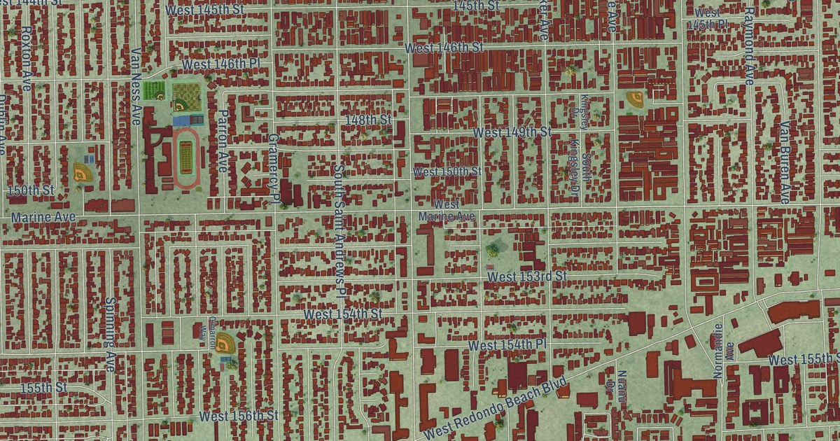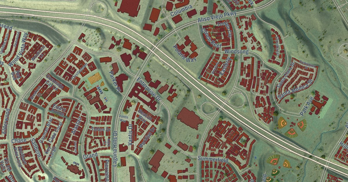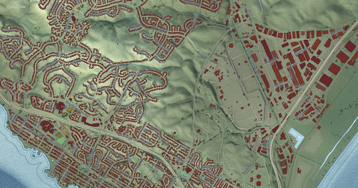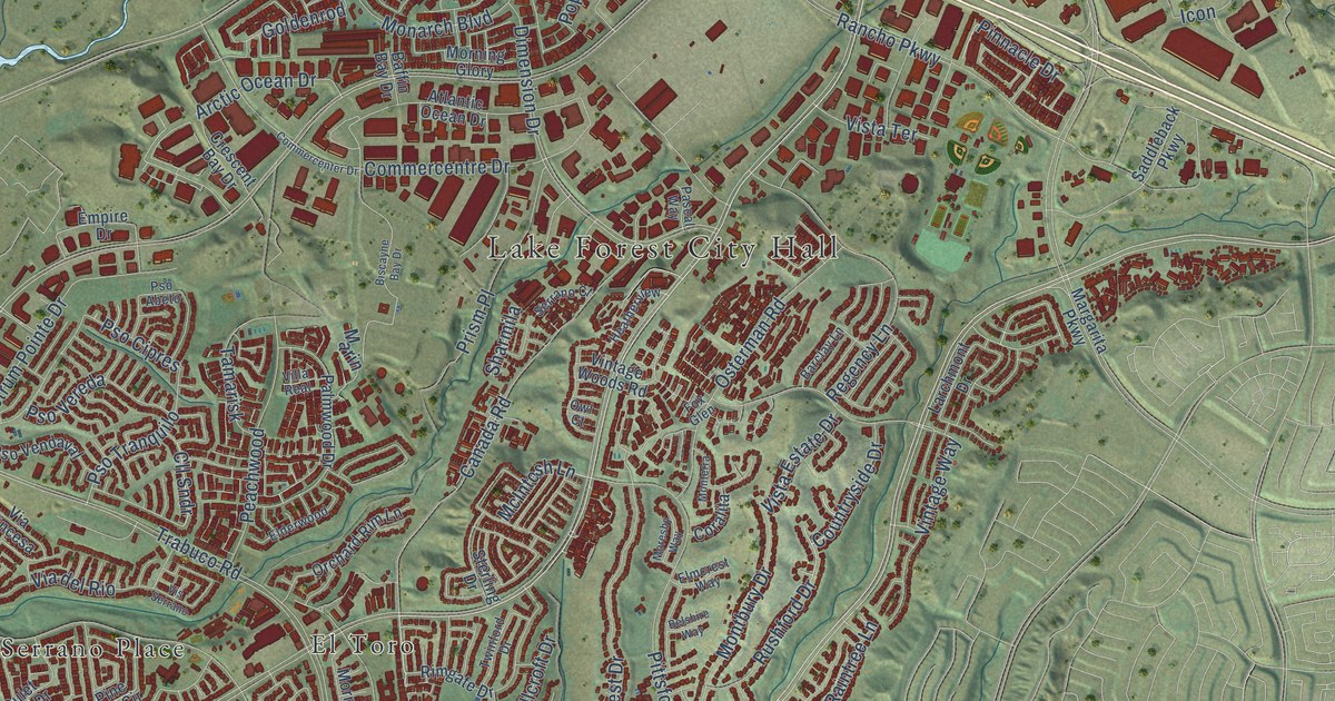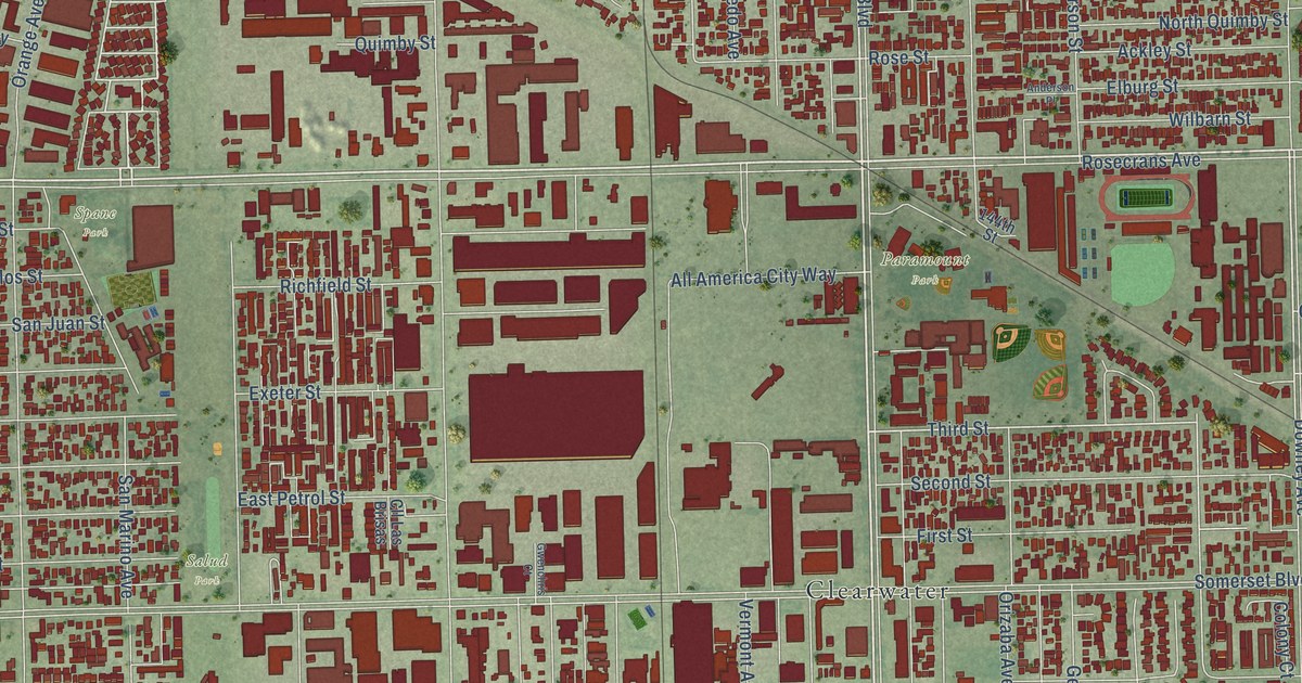
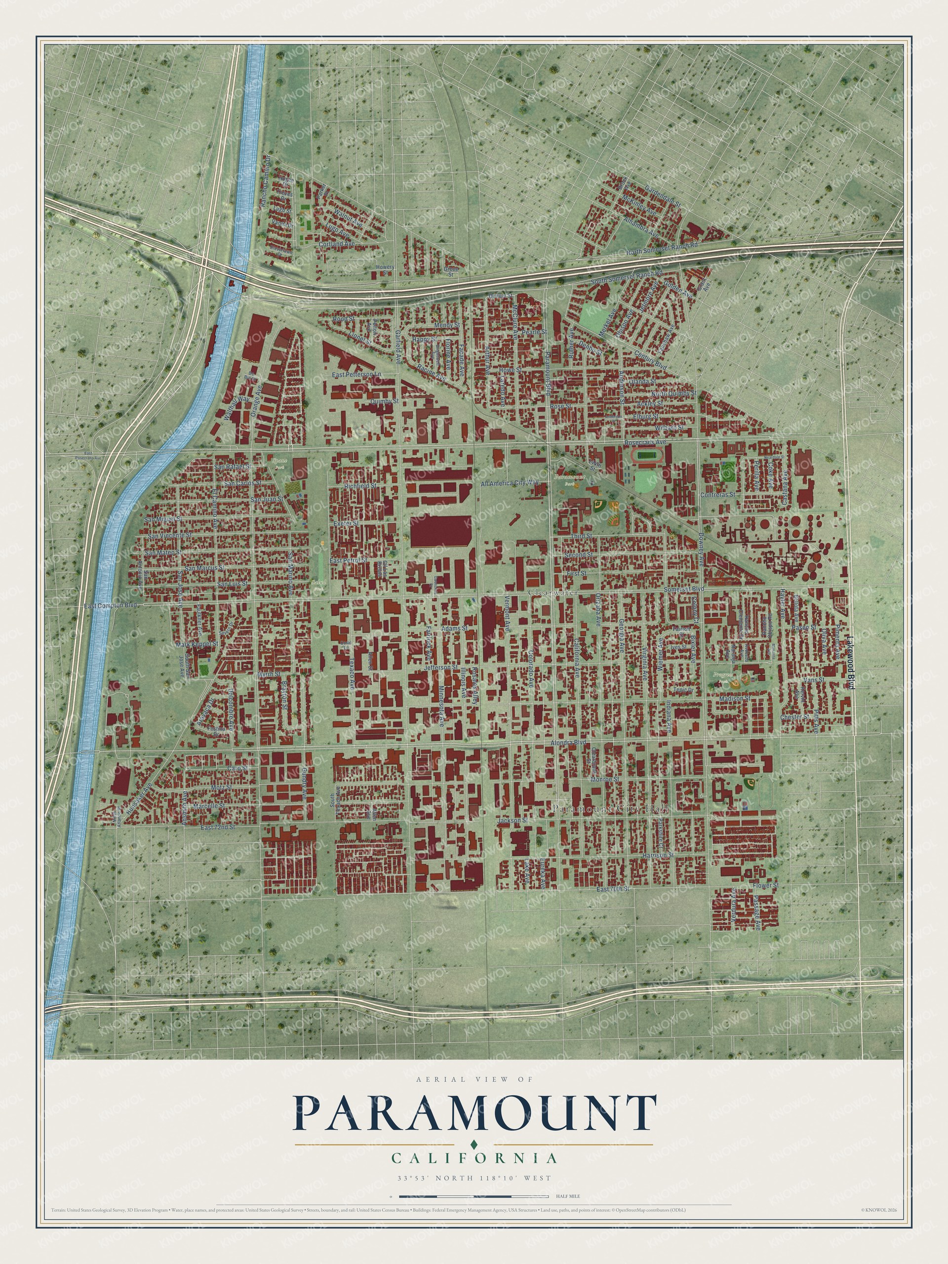
This beautifully detailed map of Paramount, California was created in 2026 using aerial imagery combined with modern topographical, census, street and landmark data. It's a modern aerial view of Paramount in Los Angeles County, California, that combines modern data with a vintage aesthetic. The roads feature printed names, and if you look closely you can find your exact house accurately shown in its correct location.
Explore an aerial view of Paramount, California
On this map you'll find Paramount City Hall, Paramount Park, Progress Park, Salud Park, Spane Park, Clearwater, Lakewood Boulevard, Rosecrans Avenue, Third Street, Alondra Boulevard, Indiana Avenue, Arthur Avenue, and more. Each red shape is a building, so zoom in on the preview and look for yours.
Here is a piece of Paramount history, in the words of the record. The California State Parks puts it this way: "The Hay Tree is an old, 50 foot high camphor tree standing in the middle of a grassy area in downtown Paramount."
Paramount is a city in Los Angeles County. The Census Bureau counted 53,733 people here in 2020.
Take a closer look at the Paramount map
Names on this map
These names are printed on this map.
Places: Paramount City Hall, Paramount Park, Progress Park, Salud Park, Spane Park and Clearwater.
Streets and roads: Lakewood Boulevard, Rosecrans Avenue, Third Street, Alondra Boulevard, Indiana Avenue, Arthur Avenue, Somerset Boulevard, Orange Avenue, East 70th Street, Motz Street, Vermont Avenue, East 72nd Street.
More street names, A to Z
144th Street, Ackley Street, Adams Street, Alhambra Avenue, All America City Way, Allen Avenue, Allen Street, Anderson Place, Anderson Street, Ansmith Avenue, Aravaca Drive, Avocado Avenue, Bellota Avenue, Bixler Avenue, Brayton Street, Brightwell Avenue, Brock Avenue, California Avenue, Caro Street, Castana Avenue, Century Boulevard, Chester Street, Clearbrook Street, Cll Las Brisas, Cloverlawn Drive, Coke Avenue, Colony Court, Colorado Avenue, Contreras Street, Coral Lane, Cortland Avenue, De Bie Drive, Delcombre Avenue, Denbo Street, Denver Street, Downey Avenue, East Compton Boulevard, East Petrol Street, East Petterson Lane, East Rosecrans Avenue, Elburg Street, El Camino Avenue, Eureka Avenue, Exeter Street, Facade Avenue, Fairlock Avenue, Fairton Street, Fanshaw Avenue, Faulkner Avenue, Festina Drive, First Street, Florine Avenue, Flower Street, Gardendale Street, Garfield Avenue, Georgia Avenue, Golden Avenue, Grant Avenue, Grove Street, Gundry Avenue, Gwenchris Court, Happy Street, Harrison Street, Hayter Avenue, Hogee Drive, Howery Street, Howe Street, Hunsaker Avenue, Illinois Avenue, Ives Street, Jackson Street, Jefferson Street, Jetmore Avenue, Kervin Avenue, Lake Avenue, Laredo Avenue, Lionel Street, Lugo Avenue, Lugo Street, Madison Street, Manzana Avenue, Marcelle Street, Mark Keppel Street, McClure Avenue, McKinley Avenue, Mendy Street, Merkel Avenue, Minnesota Avenue, Monroe Street, Myrrh Street, Naranja Avenue, Neardale Street, North Atlantic Place, North Quimby Street, North Somerset Ranch Road, Obispo Avenue, Olanda Street, Oliva Avenue, Orizaba Avenue, Paramount Boulevard, Parker Place, Parkshire Court, Paseo Street, Passage Avenue, Pearle Street, Pelton Avenue, Perilla Avenue, Pimenta Avenue, Pitts Avenue, Quimby Street, Racine Avenue, Rancho Camino Drive, Rancho Clemente Drive, Rancho Obispo Road, Richfield Street, Rood Street, Rosales Alley, Rose Street, Ruther Avenue, San Antonio Avenue, San Carlos Street, San Jose Avenue, San Juan Street, San Luis Street, San Marcus Street, San Marino Avenue, San Mateo Street, San Miguel Street, San Rafael Street, San Vincente Street, Second Street, Severn Drive, South San Jose Avenue, South Somerset Ranch Road, South Texaco Avenue, Tepic Drive, Texaco Avenue, Treves Drive, Vanna Drive, Vans Street, Verdura Avenue, Virginia Avenue, Walnut Avenue, Walthall Way, Wiemer Avenue, Wilbarn Street.
Created by KNOWOL in 2026. The buildings are small red shapes, the roads carry their printed names, and shaded relief shows the shape of the land. The title panel reads "AERIAL VIEW OF PARAMOUNT CALIFORNIA" with 33°53' NORTH 118°10' WEST.
It suits a den, a classroom or a front hall, and it makes a gift for anyone with Paramount roots. Open the preview and find the block you know. See sizes and frames for the Paramount map.