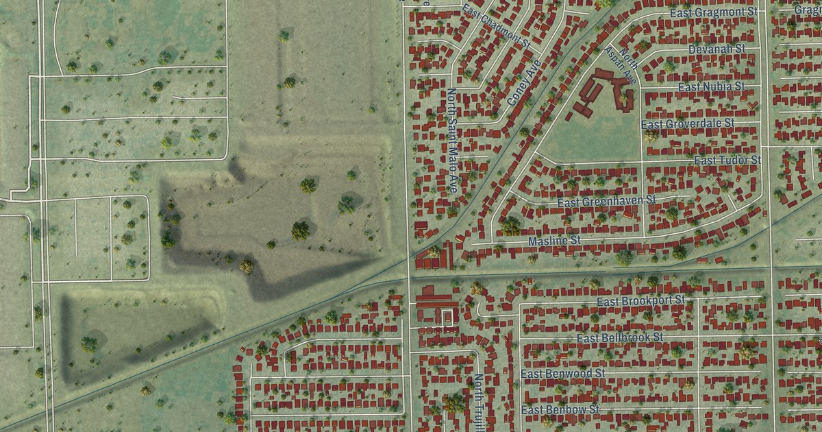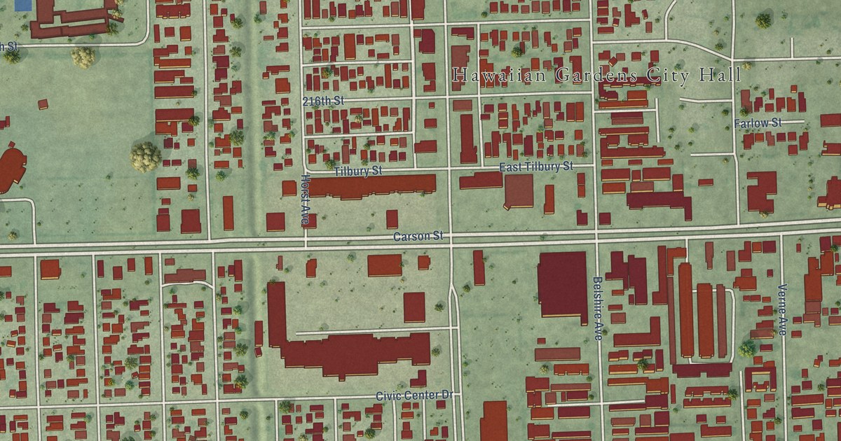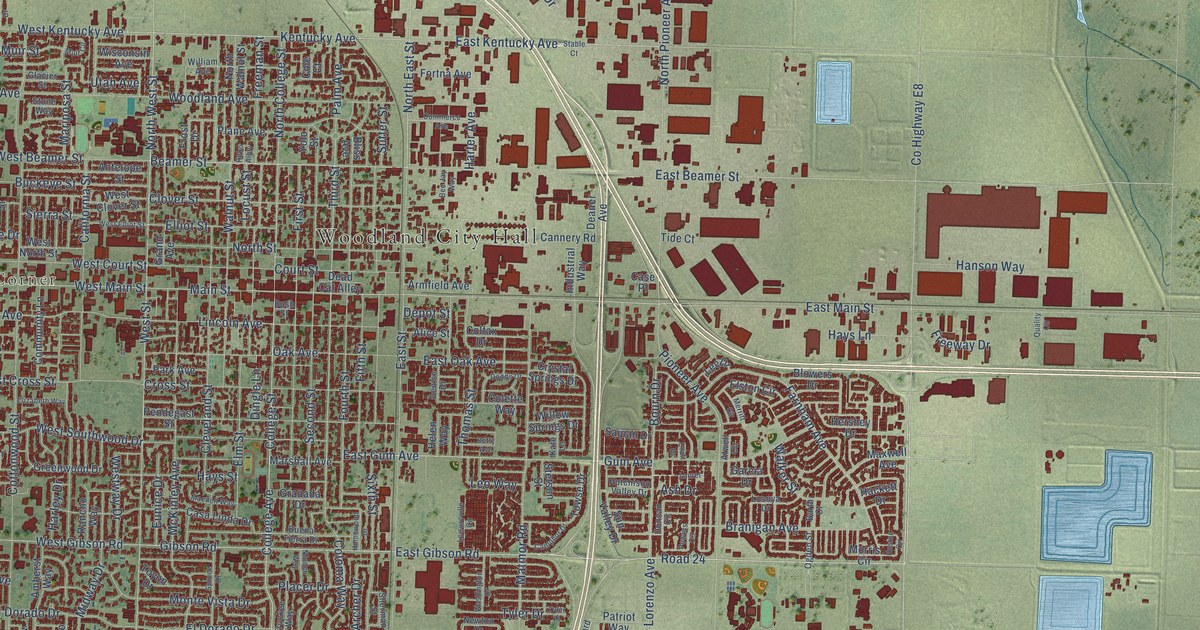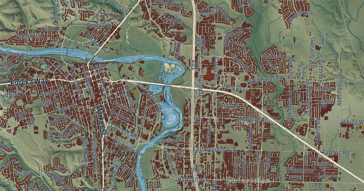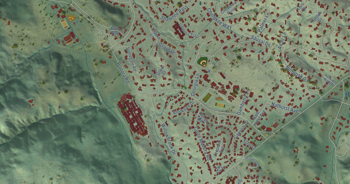
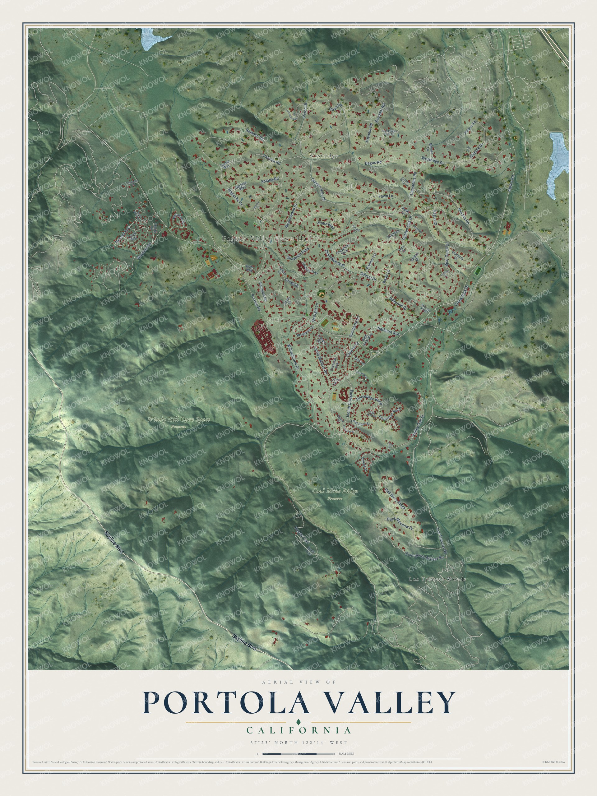
This beautifully detailed map of Portola Valley, California was created in 2026 using aerial imagery combined with modern topographical, census, street and landmark data. It's a modern aerial view of Portola Valley in San Mateo County, California, that combines modern data with a vintage aesthetic. The roads feature printed names, and if you look closely you can find your exact house accurately shown in its correct location.
Explore an aerial view of Portola Valley, California
On this map you'll find Portola Valley Town Hall, Westridge, Coal Mine Ridge Preserve, Windy Hill Open Space Preserve, Los Trancos Woods, Skyline Boulevard, Wayside Road, Indian Crossing, Los Trancos Road, Russell Avenue, Rapley Trail, Alpine Road, and more. Each red shape is a building, so zoom in on the preview and look for yours.
Portola Valley has a story worth telling. The National Park Service puts it this way: "On June 14, 1909, a bond election was passed (21 votes for, 1 opposed) to provide a second school building."
Portola Valley is a town in San Mateo County. The Census Bureau counted 4,456 people here in 2020.
Take a closer look at the Portola Valley map
Names on this map
These names are printed on this map.
Places: Portola Valley Town Hall, Westridge, Coal Mine Ridge Preserve, Windy Hill Open Space Preserve and Los Trancos Woods.
Streets and roads: Skyline Boulevard, Wayside Road, Indian Crossing, Los Trancos Road, Russell Avenue, Rapley Trail, Alpine Road, Westridge Drive, Portola Road, Golden Oak Drive, Cervantes Road, Mapache Drive.
More street names, A to Z
Acorn Street, Adair Lane, Alamos Drive, Alamos Road, Alhambra Court, Ash Lane, Bear Gulch Drive, Bolivar Lane, Bow Way, Brookside Drive, Buck Meadow Drive, Campo Road, Canyon Drive, Cherokee Way, Cheyenne Point, Coal Mine Vw, Cordova Court, Corte Madera Road, Creek Park Drive, Crescent Avenue, Cresta Vista Lane, Degas Road, Dos Loma Vista Street, Echo Lane, Emergency Access Road, Escobar Road, Favonia Road, Fawn Lane, Franciscan Ridge, Gambetta Lane, Georgia Lane, Golden Hills Drive, Goya Road, Granada Court, Grove Court, Grove Drive, Groveland, Hayfields Road, Hillbrook Drive, Holden Court, Horseshoe Bend, Iroquois Trail, Kiowa Court, Larguita Lane, La Sandra Way, Long Spur Street, Meadowood Drive, Minoca Road, Naranja Way, Nath Horst Avenue, Nathorst Avenue, Ohlone Street, Palmer Lane, Paloma Road, Paso del Arroyo, Peak Lane, Pinon Drive, Ramoso Road, Red Berry Ridge, Ruolf Trail, Sandstone Street, Santa Maria Avenue, Sausal Drive, Shawnee Pass, Sioux Way, Solana Road, Stonegate Road, Tagus Court, Tan Oak Drive, Thistle Street, Tintern Lane, Toro Court, Trinity Lane, Tynan Way, Valencia Court, Valley Oak Street, Willowbrook Drive, Wyndham Drive, Zapata Way.
Created by KNOWOL in 2026. The buildings are small red shapes, the roads carry their printed names, and shaded relief shows the shape of the land. The title panel reads "AERIAL VIEW OF PORTOLA VALLEY CALIFORNIA" with 37°23' NORTH 122°14' WEST.
It looks right in a kitchen, an office or a den, and it's a gift for anyone who grew up in Portola Valley or moved away. Open the preview and find your street. See sizes and frames for the Portola Valley map.