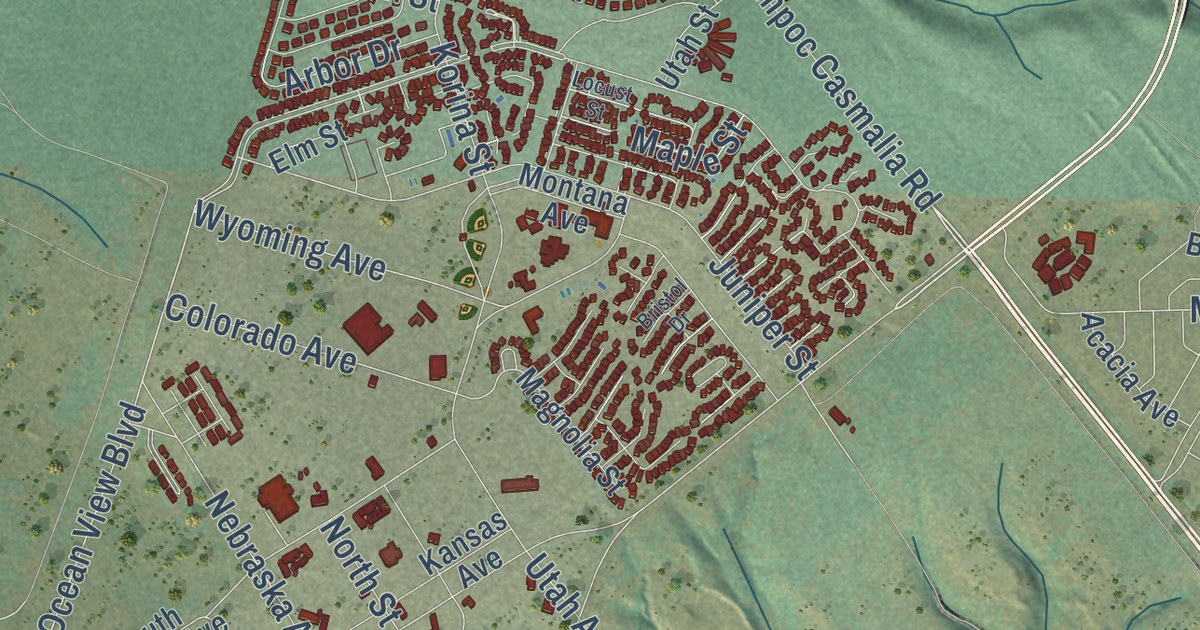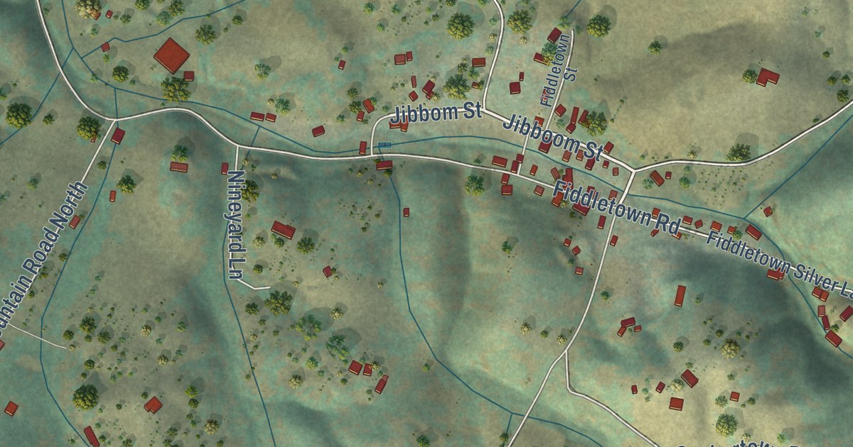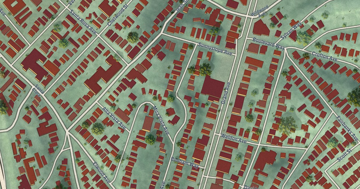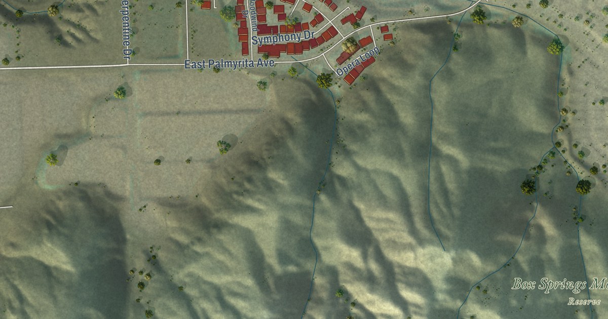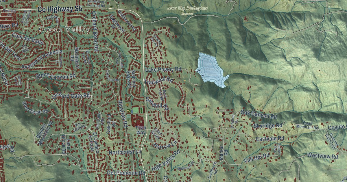
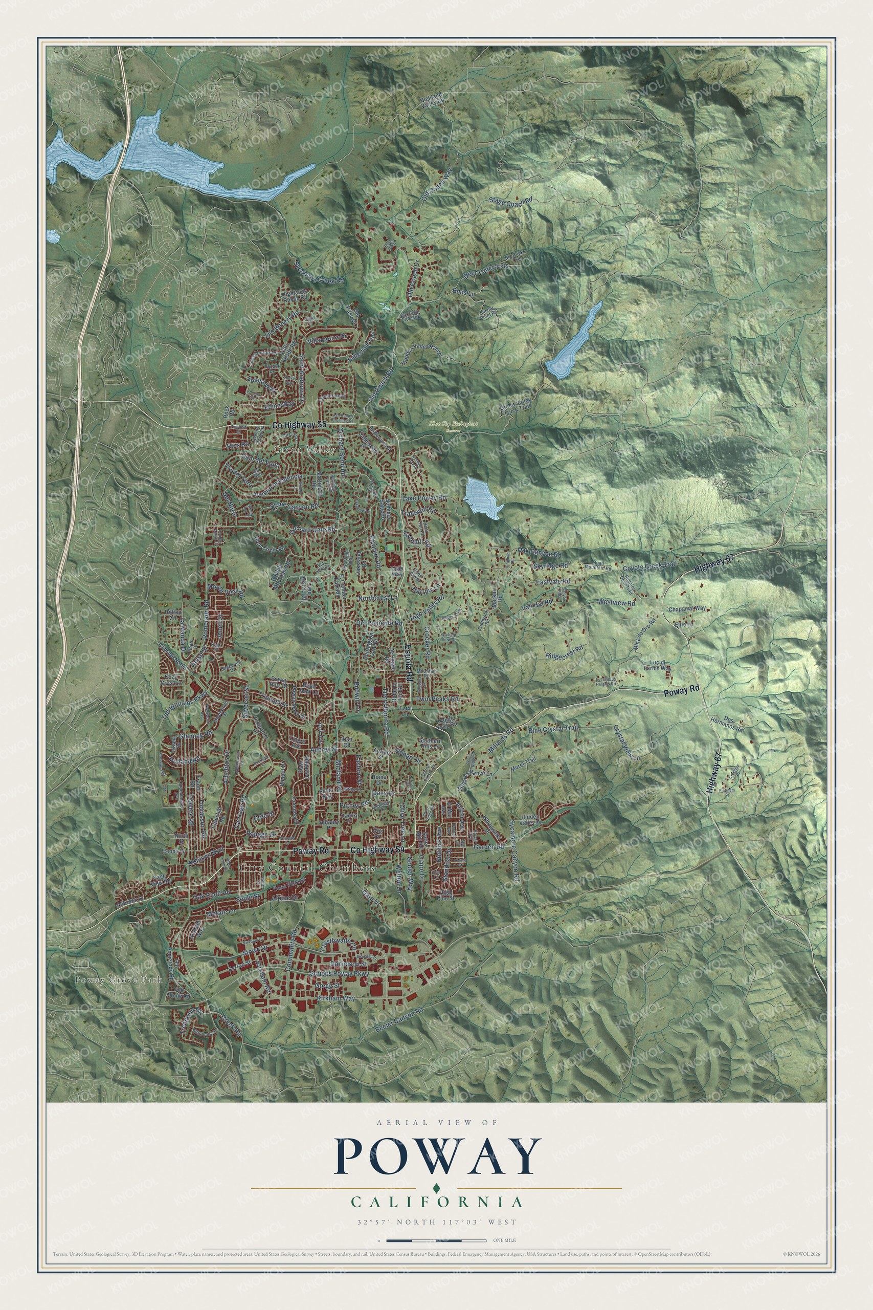
This beautifully detailed map of Poway, California was created in 2026 using aerial imagery combined with modern topographical, census, street and landmark data. It’s a one-of-a-kind view of Poway that combines accurate data with a vintage aesthetic. The map shows every building in its true location, many of the roads carry their names, and the shaded topographic relief shows the shape of the land.
Explore an aerial view of Poway, California
On the map you’ll find City Council Chambers, Poway Grove Park, Green Valley, and Blue Sky Ecological Reserve, along with County Highway S4, Poway Road, County Highway S5, Espola Road, Highway 67, Del Poniente Road, Tierra Bonita Road, High Valley Road, and more. If you look closely you can even find your house accurately drawn in its correct location. Zoom in on the preview to look for yours.
Did you know this piece of Poway, California history?
From the City of Poway: "Poway became known for its exceptionally fine peaches and for its vineyards."
Take a closer look at the Poway map
Street and place names on the Poway, California map
These names are printed on the map of Poway, California.
Places: City Council Chambers, Poway Grove Park, Green Valley and Blue Sky Ecological Reserve.
Streets and roads: County Highway S4, Poway Road, County Highway S5, Espola Road, Highway 67, Del Poniente Road, Tierra Bonita Road, High Valley Road, Tobiasson Road, Northcrest Lane, Orchard Gate Road, Holland Road.
More street names, A to Z
Acton Avenue, Adrian Street, Allbrook Drive, Alpine Drive, Amso Street, Arabian Way, Arbolitos Drive, Ash Hollow Crossing Road, Aubrey Street, Avenue Florencia, Avenue la Valencia, Beeler Canyon Road, Belvedere Drive, Benny Lee Drive, Bent Tree Road, Big Bucks Trail, Blaisdell Place, Blue Crystal Trail, Boulder Mountain Road, Brian Park Lane, Bridlewood Road, Bronco Lane, Bryce Point, Buds Lane, Budwin Lane, Butterfield Trail, Buxton Avenue, Cam del Norte, Cam del Valle, Canyon Pass, Carriage Road, Cascade Crossing, Cedar Ridge Court, Celestial Road, Chaparral Way, Claire Drive, Cll Ana, Cll Colina, Cloudcroft Drive, Community Road, Comuna Drive, Country Day Road, Country Squire Drive, Coyote Creek Trail, Cree Drive, Creek Road, Crestline Drive, Crestwood Avenue, Crocker Road, Crossrock Road, Crosthwaite Circle, Crystal View Lane, Cynthia Lane, Dana Vista Street, Danielson Street, Decant Drive, Deer Valley Ests, Del Norte, Del Paso Drive, Derringer Road, Donart Drive, Dorset Way, Dos Hermanos Road, Eastern Street, Eastvale Road, Eden Grove, Edina Way, Eisenhower Avenue, El Camino Entrada, Ellie Lane, El Mar Avenue, Erin Lane, Eucalyptus Heights Road, Ezra Lane, Floral Avenue, Frame Road, Garden Road, Gate Drive, Gem Court, Glen Circle Road, Glenoak Road, Golden Way, Green Valley Truck Trail, Gregg Street, Harrow Lane, Heath Drive, Hiddden Valley Ranch, Hidden Valley Drive, Highcrest Court, Highlands Ranch Road, Highland Valley Road, High Pine Street, Hilleary Place, Hilltop Circle, Humo Drive, Huntington Gate Drive, Ipava Drive, Jenell Street, Joyas Court, Kaitz Street, Kalapana Street, Kerran Street, Kingman Road, Kirkham Court, Kirkham Road, Kirkham Way, Kittery Street, Kozy Crest Lane, Lake Poway Road, Lakeview Road, La Manda Drive, Leona Lane, Lime Grove Road, Lingre Avenue, Lomas Verdes Drive, Lucidi Farms Way, Maplewood Street, Markar Road, Martincoit Road, Mazatlan Way, Metate Lane, Midland Road, Millards Ranch Lane, Millards Road, Mina de Oro Road, Monte Vista Road, Mountain Road, Murel Trail, Neddick Avenue, Ninth Street, Oak Canyon Road, Oak Creek Trail, Oak Knoll Road, Oakstand Road, Old Coach Drive, Old Coach Road, Old Coach Way, Old Pomerado Road, Old Stone Road, Old Winery Road, Olive Tree Lane, Orchard Bend Road, Orchard View Drive, Otis Place, Palisades Drive, Papago Drive, Pequot Drive, Pinefield Road, Platinum Place, Pomard Way, Pomerado Road, Poway Hills Drive, Poway Mesa Drive, Powers Road, Pso Valle Alto, Putney Road, Quail Mountain Road, Range Park Road, Ridgecrest Road, Rios Road, Riparian Road, Roberto Rio Road, Robison Boulevard, Rock Road, Rockwell Court, Running Deer Trail, Saddlewood Drive, Sagecrest Drive, Sage View Road, Sagewood Drive, Saint Andrews Drive, Sandhill Road, Scots Way, Scripps Poway Parkway, Seiler Street, Silver Lake Drive, Silver Ridge Road, Silverset Street, Skyridge Road, Solera Way, Soule Street, Southern Hills Lane, Stage Coach Road, Standish Drive, Stone Canyon Road, Stonemill Drive, Stowe Drive, Summer Sage Road, Sunrise Canyon Road, Sunset Point Road, Sutter Mill Road, Sycamore Canyon Road, Sycamore Creek Road, Tarzana Road, Ted Williams Parkway, Terrilee Drive, Titan Way, Toothrock Road, Trailwind Road, Treadwell Drive, Triumph Drive, Twin Peaks Road, Vali Hai Road, Valle Verde Road, Via del Toro, Vian Road, Via Serena, Villamoura Drive, Wanesta Drive, Welton Lane, Westview Road, Whitewater Drive, Wiley Court, Woodson View Road, York Avenue.
See the Poway, California map on a wall
The Poway map as an 18 x 24 inch print in a black frame.

This beautifully detailed map of Poway makes an attractive addition to your office, library, or den, and it can even be used to teach children the geography and history of the area. It also makes a great gift for anyone with Poway roots. When you’re done exploring, click here to get your copy of the Poway map.