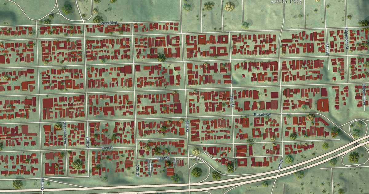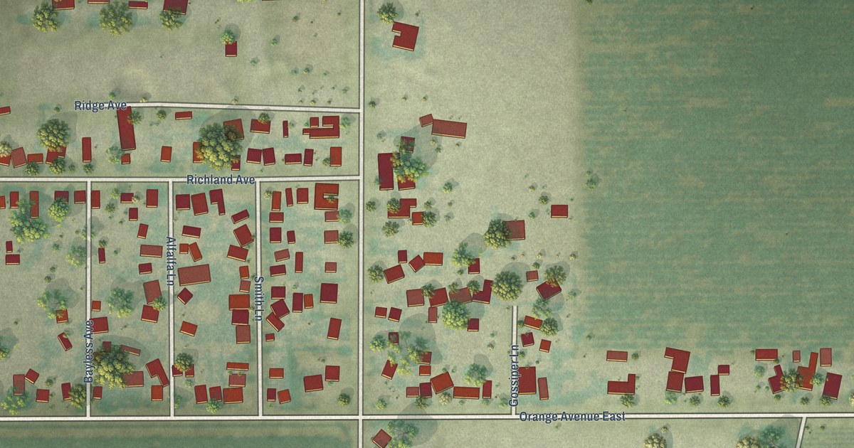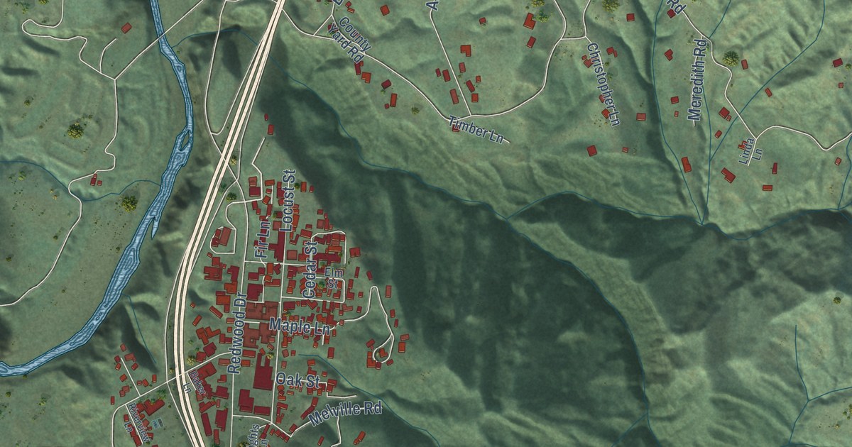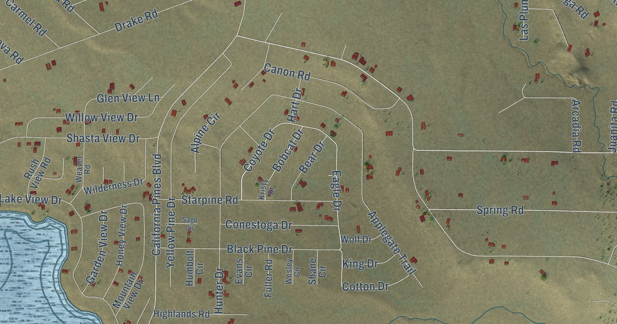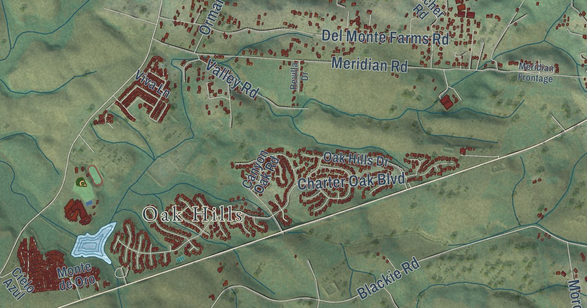
This beautifully detailed map of Prunedale, California was created in 2026 using aerial imagery combined with modern topographical, census, street and landmark data. It’s a one-of-a-kind view of Prunedale that combines accurate data with a vintage aesthetic. The map shows every building in its true location, many of the roads carry their names, and the shaded topographic relief shows the shape of the land.
Explore an aerial view of Prunedale, California
On the map you’ll find Oak Hills and Herbert Road Extension, along with Prunedale North Road, Coker Road, Castroville Boulevard, Blackie Road, Harrison Road, San Juan Grade Road, San Miguel Canyon Road, County Road G12, Crazy Horse Canyon Road, Strawberry Canyon Road, and more. If you look closely you can even find your house accurately drawn in its correct location. Zoom in on the preview to look for yours.
Did you know this piece of Prunedale, California history?
From the North Monterey County Chamber of Commerce: "The name Prunedale is not officially explained in any document but it is thought to have originated years ago with an attempt to establish prune tree orchards in North Monterey County. The crop was not successful but the name Prunedale remained and has come to represent a rural lifestyle envied by many."
Take a closer look at the Prunedale map
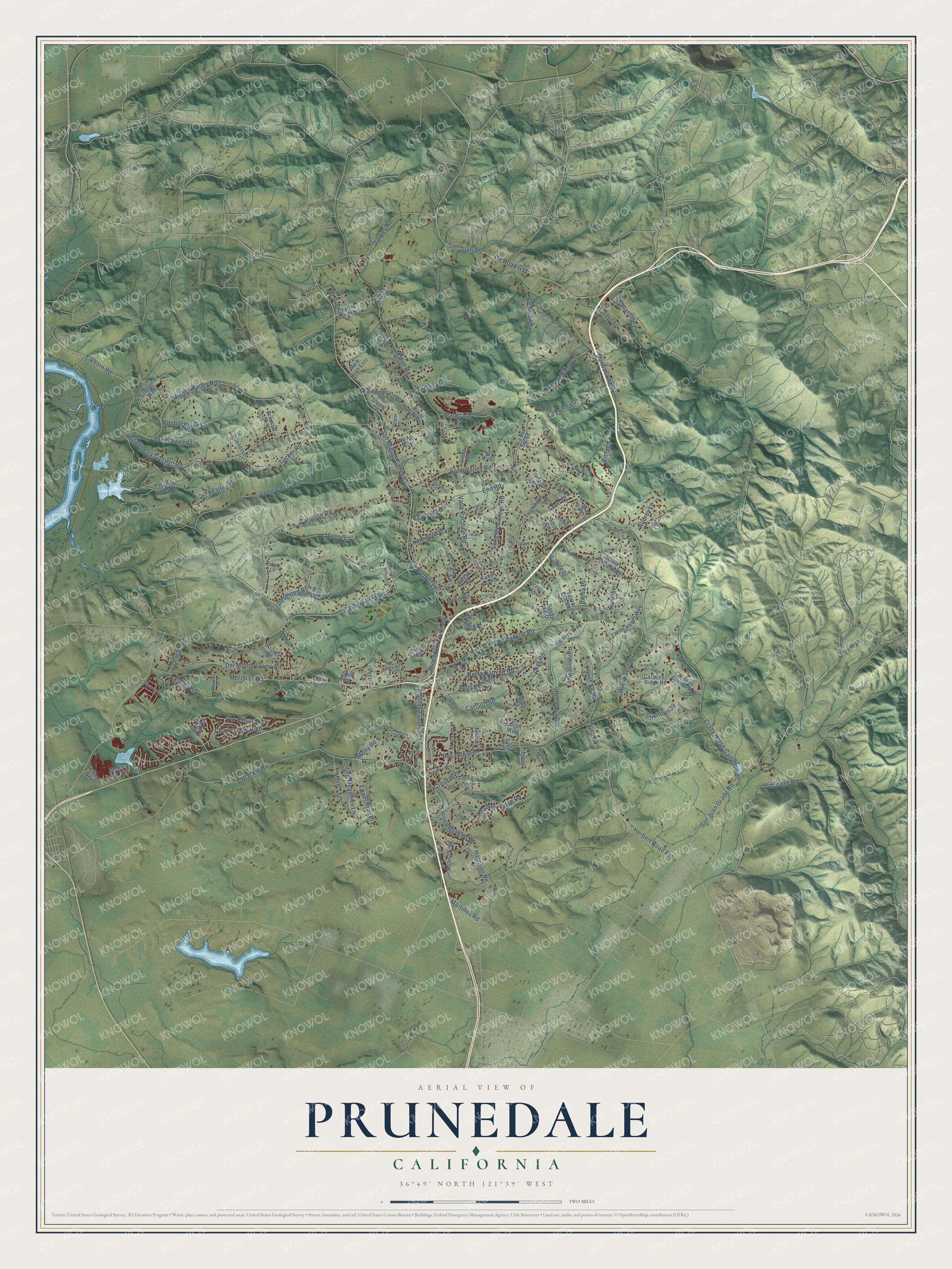
Street and place names on the Prunedale, California map
These names are printed on the map of Prunedale, California.
Places: Oak Hills.
Streets and roads: Prunedale North Road, Coker Road, Castroville Boulevard, Herbert Road Extension, Blackie Road, Harrison Road, San Juan Grade Road, San Miguel Canyon Road, County Road G12, Crazy Horse Canyon Road, Strawberry Canyon Road, Echo Valley Road.
More street names, A to Z
Apricot Lane, Archer Road, Assisi Way, Audrey Lane, Avenue Los Altos, Avery Lane, Ballantree Lane, Beatrice Drive, Beaver Lane, Belma Court, Berta Canyon Road, Berta Lane, Berta Ridge Place, Brentwood Court, Briarcliff Terrace, Buenelos, Campagna Way, Canyon Oak Road, Carlson Road, Carolines Ridge Road, Charles Schell Lane, Charter Oak Boulevard, Chester Drive, Cielo Azul, Corey Road, Country Meadows Road, County Road G11, Cross Road, Cunha Lane, Del Monte Farms Road, Desmond Road, Dunbarton Road, Dyer Road, Eagle Way, Eden Court, Eden Lane, Elkhorn Road, End Road, Equestrian Place, Falcon Way, Fallen Leaf Lane, Forrest Lane, Frankie Lane, Frisch Road, Glenn Avenue, Grace Lane, Hambey Lane, Hidden Canyon Road, Hidden Valley Road, Holly Hill Drive, Karen Drive, Kim Ann Lane, King Road, La Encina Drive, Langley Canyon Road, Leon Drive, Lillian Lane, Little Hill Lane, Long Valley Road, Long Valley Spr, Lynne Haven Way, Maher Court, Maher Road, Mallory Canyon Road, Marilyn Lane, Mark Lane, Mark Ryan Ests, Martines Road, Martin Lane, Matterhorn Place, Mc Guffie Road, Meadow Ridge Road, Meridian Frontage, Meridian Road, Messick Road, Molly Road, Monte de Oro, Moro Circle, Moro Road, Moro Terrace, North King Road, Northwood Place, Oak Estates Drive, Oak Heights Drive, Oak Hills Drive, Oak Ridge Drive, Oak Road, Old Stage Road, Orchard Lane, Ormart Road, Padilla Place, Paradise Road, Paradise Valley Road, Pesante Road, Pezzini Lane, Pine Tree Way, Pollock Lane, Ponderosa Lane, Prunedale South Road, Reavis Way, Revilla Drive, Richmond Way, Roc Road, Rolling Meadows Lane, Roma Place, Royal Oak Place, Sam Hill Way, Sandy Hill Drive, San Juan Road, South Prunedale Road, Strong Circle, Tamara Lane, Tarawild Court, Tarpey Road, Timeview Way, Trigo Lane, Tucker Road, Tumble Weed Lane, Tumbleweed Lane, Tustin Road, Unknown39, Valle Pacifico Road, Valley Road, Veirra Cyn Road, Via del Sol Road, Victoria Lane, Vierra Canyon Road, Vista Drive, Viva Lane, Wild Horse Road, Wilson Way.
See the Prunedale, California map on a wall
The Prunedale map as an 18 x 24 inch print in a black frame.

This beautifully detailed map of Prunedale makes an attractive addition to your office, library, or den, and it can even be used to teach children the geography and history of the area. It also makes a great gift for anyone who grew up in Prunedale or moved away. When you’re done exploring, click here to get your copy of the Prunedale map.