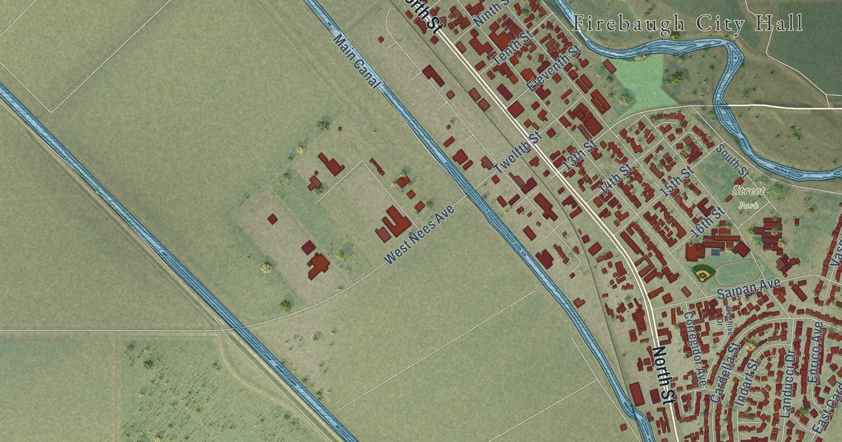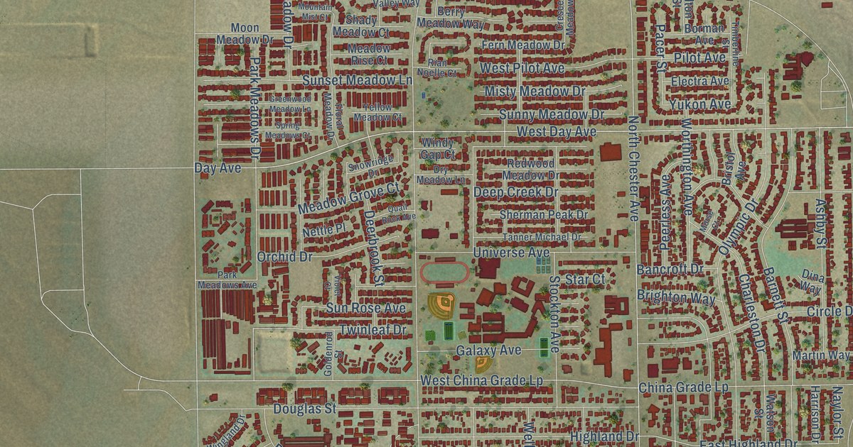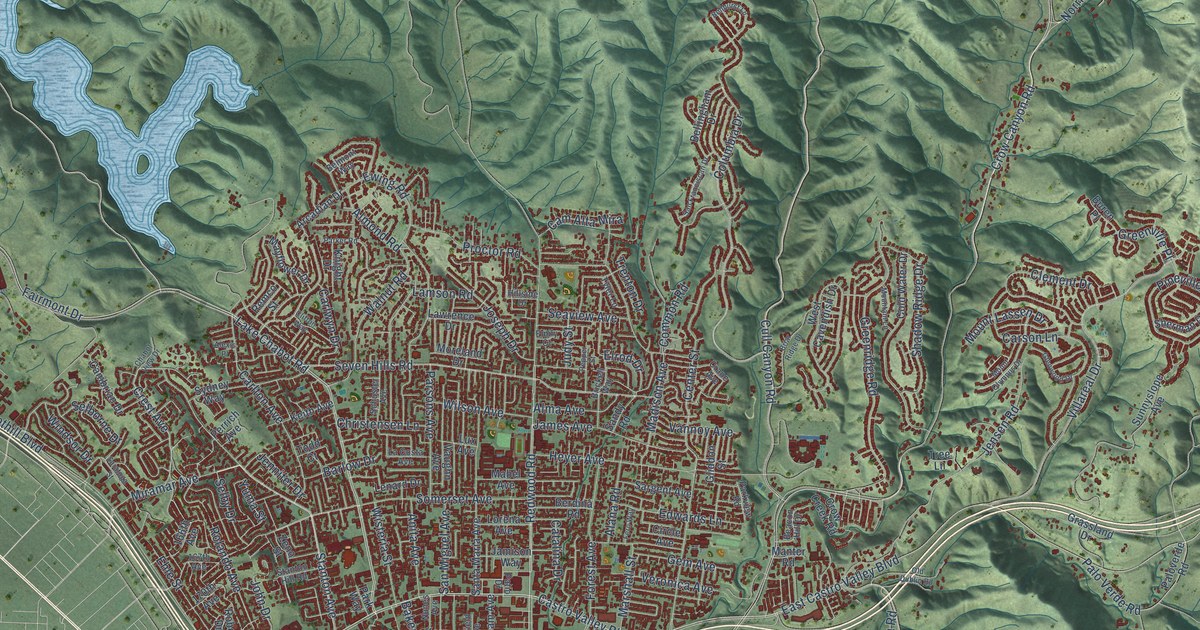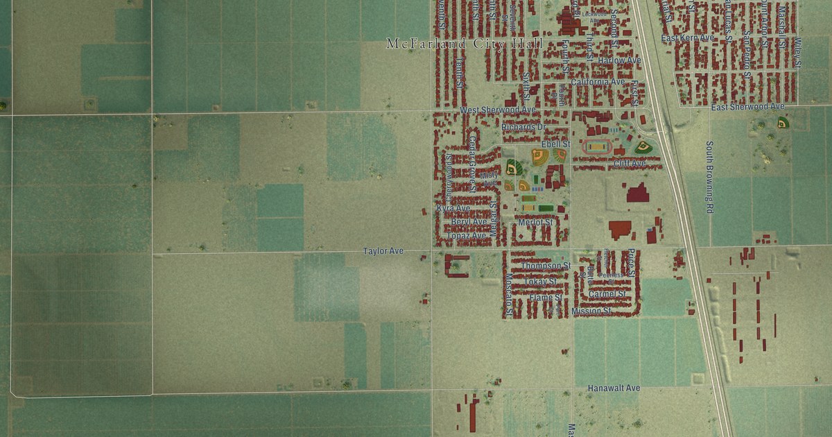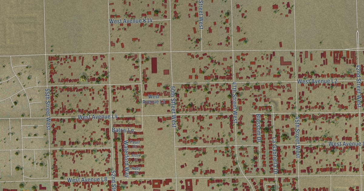
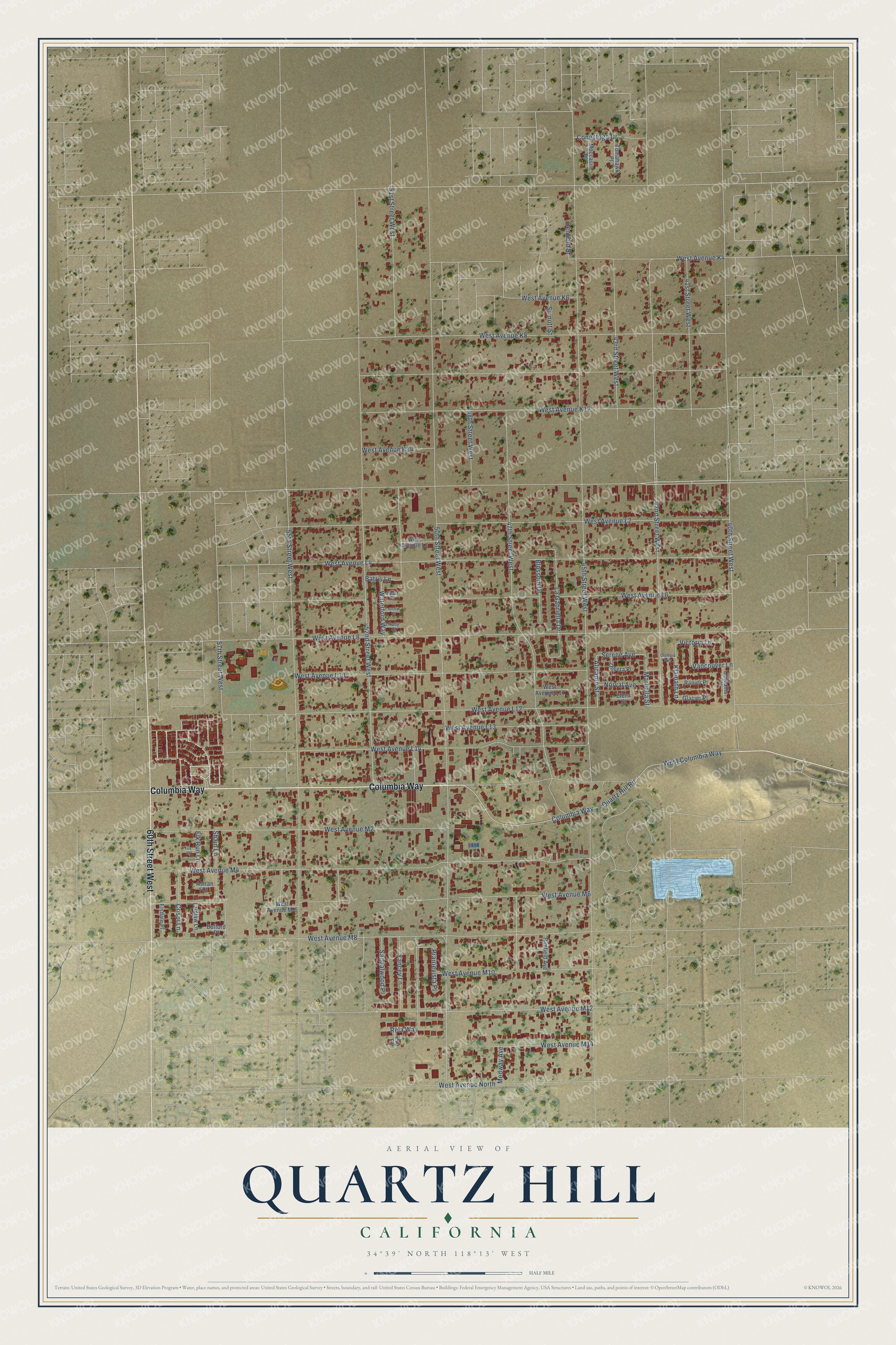
This beautifully detailed map of Quartz Hill, California was created in 2026 using aerial imagery combined with modern topographical, census, street and landmark data. It's a modern aerial view of Quartz Hill in Los Angeles County, California, that combines modern data with a vintage aesthetic. The roads feature printed names, and if you look closely you can find your exact house accurately shown in its correct location.
Explore an aerial view of Quartz Hill, California
On this map you'll find Columbia Way, 60th Street West, 40th Street West, West Avenue M12, Alicante Street, Klamath Lane, Serene Avenue, Blossom Drive, Marbella Street, West Avenue M10, 45th Street West, 50th Street West, and more. Each red shape is a building, so zoom in on the preview and look for yours.
Quartz Hill is a community in Los Angeles County. The Census Bureau counted 11,447 people here in 2020. The map prints the town name in its title panel, with the coordinates below it.
Take a closer look at the Quartz Hill map
Names on this map
These names are printed on this map.
Streets and roads: Columbia Way, 60th Street West, 40th Street West, West Avenue M12, Alicante Street, Klamath Lane, Serene Avenue, Blossom Drive, Marbella Street, West Avenue M10, 45th Street West, 50th Street West.
More street names, A to Z
41st Street West, 42nd Street West, 43rd Street West, 47th Street West, 48th Street West, 51st Street West, 52nd Street West, 55th Street West, 57th Street West, Alcoy Court, Astran Court, Batris Lane, Bulford Place, Conestoga Drive, Corvallis Place, Crispi Lane, Denfield Street, Elena Street, Elk Run Lane, Elsdale Place, Eva Court, Fox Court, Glacier Place, La Gabriella Drive, Laidlaw Lane, Medway Avenue, Moccasin Place, Norval Avenue, Olivera Place, Olympia Way, Pearl Court, Prairievista Place, Quartz Hill Road, Ranier Place, Rela Way, Rimfield Avenue, Ruby Court, Sandalwood Place, Shain Lane, Sinnott Street, Tomahawk Place, Vancouver Lane, Victoria Lane, Waterford Way, West Avenue K4, West Avenue K6, West Avenue K8, West Avenue K12, West Avenue K14, West Avenue L2, West Avenue L3, West Avenue L4, West Avenue L6, West Avenue L8, West Avenue L10, West Avenue L11, West Avenue L12, West Avenue L13, West Avenue L14, West Avenue M-6, West Avenue M2, West Avenue M4, West Avenue M6, West Avenue M8, West Avenue M14, West Avenue North, West Columbia Way, Yancey Lane.
Created by KNOWOL in 2026. The buildings are small red shapes, the roads carry their printed names, and shaded relief shows the shape of the land. The title panel reads "AERIAL VIEW OF QUARTZ HILL CALIFORNIA" with 34°39' NORTH 118°13' WEST.
It suits a den, a classroom or a front hall, and it makes a gift for anyone with Quartz Hill roots. Open the preview and find the block you know. See sizes and frames for the Quartz Hill map.