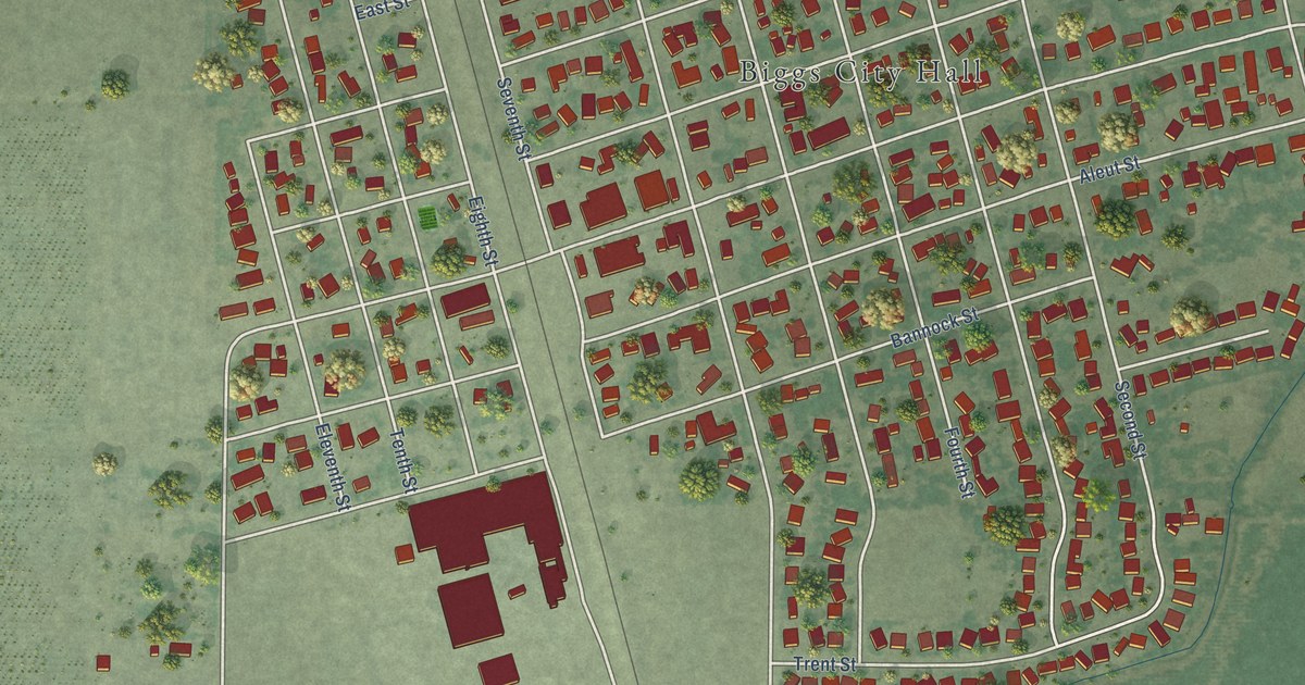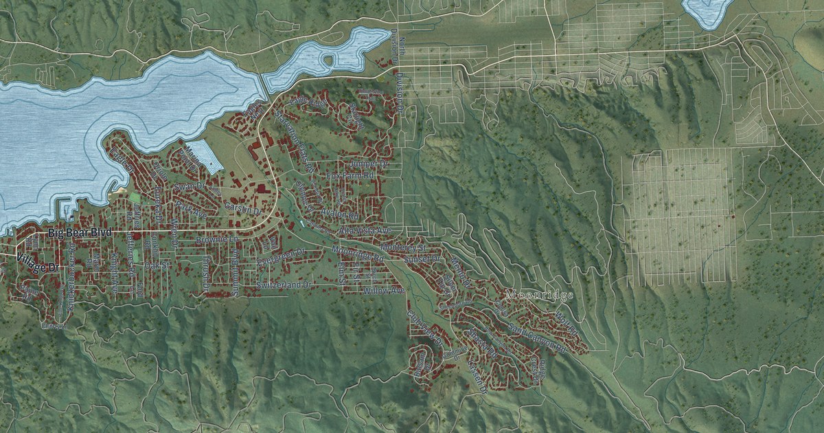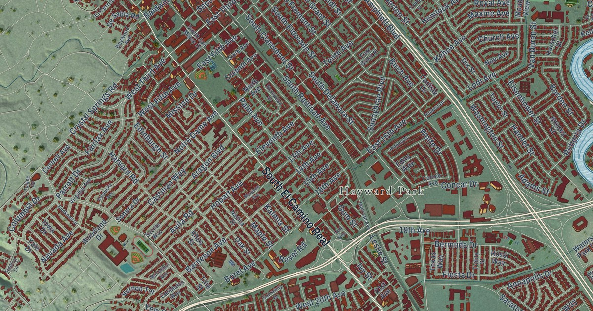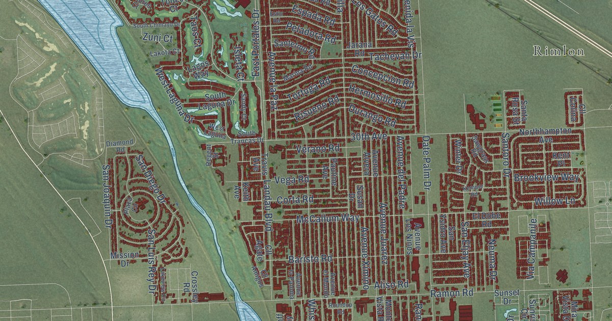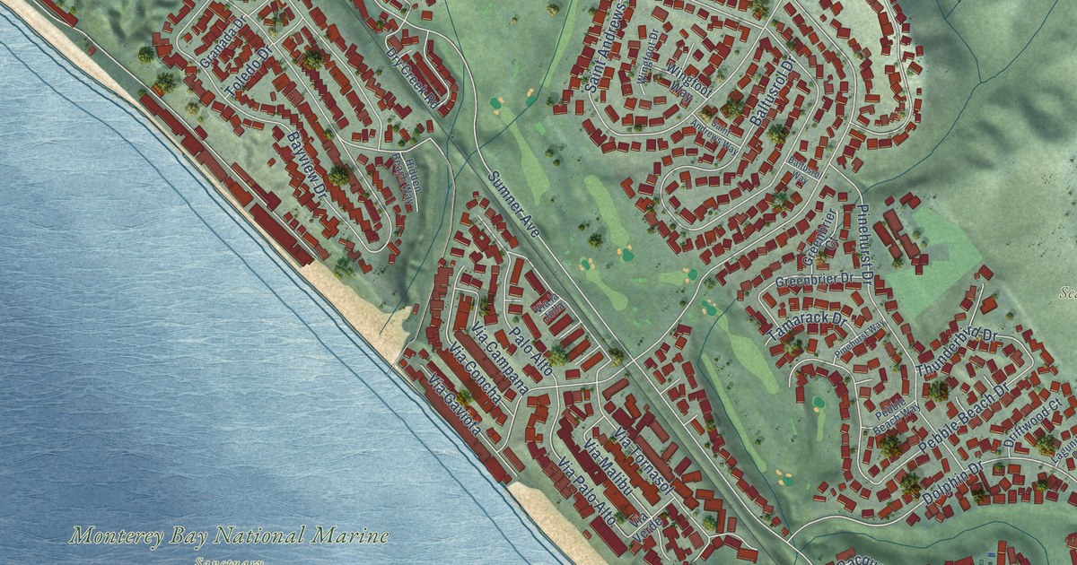
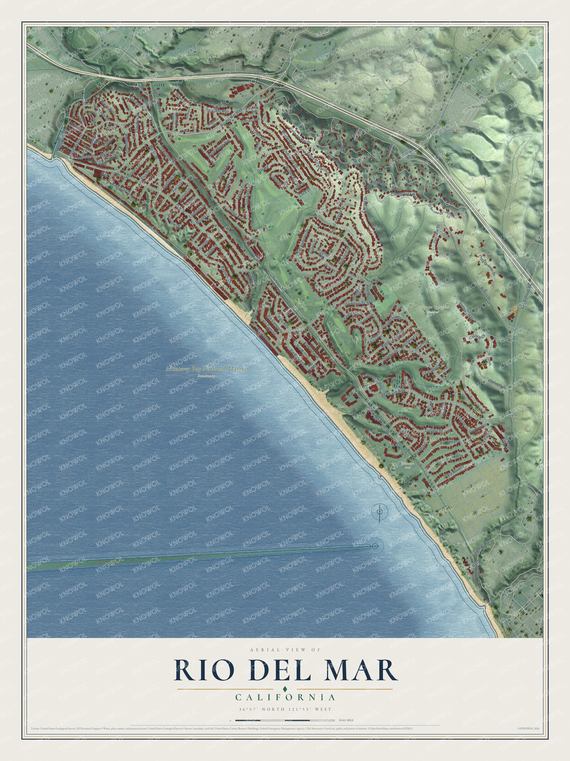
This beautifully detailed map of Rio del Mar, California was created in 2026 using aerial imagery combined with modern topographical, census, street and landmark data. It's a modern aerial view of Rio del Mar in Santa Cruz County, California, that combines modern data with a vintage aesthetic. The roads feature printed names, and if you look closely you can find your exact house accurately shown in its correct location.
Explore an aerial view of Rio del Mar, California
On this map you'll find Monterey Bay National Marine Sanctuary, Seascape Uplands Preserve, Seascape Park, Rob Roy Junction, Rio del Mar Boulevard, Aptos Beach Drive, Shoreview Drive, Martin Drive, Seaview Drive, Seascape Resort Drive, Via Novella, Via Lantana, and more. Each red shape is a building, so zoom in on the preview and look for yours.
Rio del Mar is a community in Santa Cruz County. The Census Bureau counted 9,128 people here in 2020. The map prints the town name in its title panel, with the coordinates below it.
Take a closer look at the Rio del Mar map
Names on this map
These names are printed on this map.
Places: Monterey Bay National Marine Sanctuary, Seascape Uplands Preserve, Seascape Park and Rob Roy Junction.
Streets and roads: Rio del Mar Boulevard, Aptos Beach Drive, Shoreview Drive, Martin Drive, Seaview Drive, Seascape Resort Drive, Via Novella, Via Lantana, Sumner Avenue, Bonita Drive, Clubhouse Drive, Vista del Mar Drive.
More street names, A to Z
Alta Drive, Appleton Drive, Arthur Avenue, Augusta Lane, Baldwin Drive, Baltusrol Drive, Baltusrol Way, Bar Harbor Court, Bayview Court, Bayview Drive, Beach Drive, Beach Pines Drive, Belle Monti Avenue, Bennett Road, Calypso Drive, Cam Al Mar, Cam Pacifico, Carrera Ci, Carrera Circle, Castillo Court, Claudius Drive, Cliff Court, Cliff Drive, Cresta Vista Way, Cuesta Drive, Dolphin Drive, Doris Avenue, Dorsey Avenue, Driftwood Court, Dry Creek Road, Earl Court, El Sereno Court, Elva Drive, Encino Drive, Ewell Avenue, Ewell Court, Farallon Court, Farley Drive, Florence Drive, Freedom Boulevard, Gay Road, Granada Drive, Greenbrier Court, Greenbrier Drive, Hidden Beach Way, Highland Drive, Humes Avenue, Hyannis Court, Kenneth Drive, Kingsbury Drive, Lagunitas Court, La Honda Drive, Lake Court, Lake Drive, Lamanda Drive, Lock Drive, Locke Drive, Loma Prieta Drive, Los Altos Drive, Loyola Drive, Manresa Drive, Meadowlark Lane, Mirada Drive, Monterey Drive, Moosehead Drive, Murray Avenue, Nestora Avenue, Palmer Avenue, Palo Alto, Paso Cielo, Pebble Beach Drive, Pebble Beach Way, Penasquitas Drive, Pinehurst Drive, Pinehurst Way, Racquet Landing, Rincon Drive, Robin Drive, Saint Andrews Drive, Saint Andrews Way, San Andreas Road, Sandalwood Drive, Santa Marguarita Drive, Seascape Boulevard, Seascape Ridge Drive, Seascape Village, Semple Avenue, Sonata Lane, Spreckels Drive, Spreckles Drive, Spyglass Way, Stephen Road, Tamarack Drive, Thunderbird Drive, Tiburon Court, Toledo Drive, Townsend Drive, Treasure Island Avenue, Treasure Island Drive, Uplands Drive, Venetian Road, Venetian Way, Ventana Way, Verona Court, Via Campana, Via Concha, Via del Mar, Via Gaviota, Via la Jolla, Via Malibu, Via Medici, Via Pacifica, Via Palo Alto, Via Soderini, Via Tornasol, Via Trinita, Via Verde, Vista Grande Drive, Wingfoot Drive, Wingfoot Way, Wixon Avenue, Zanzibar Drive.
Created by KNOWOL in 2026. The buildings are small red shapes, the roads carry their printed names, and shaded relief shows the shape of the land. The title panel reads "AERIAL VIEW OF RIO DEL MAR CALIFORNIA" with 36°57' NORTH 121°53' WEST.
Hang it in the hallway, the office or the cabin, or give it to someone who left Rio del Mar and still calls it home. Open the preview and look for a street you know. See sizes and frames for the Rio del Mar map.