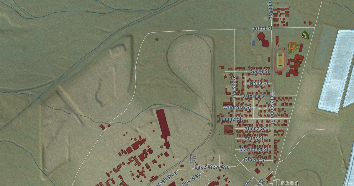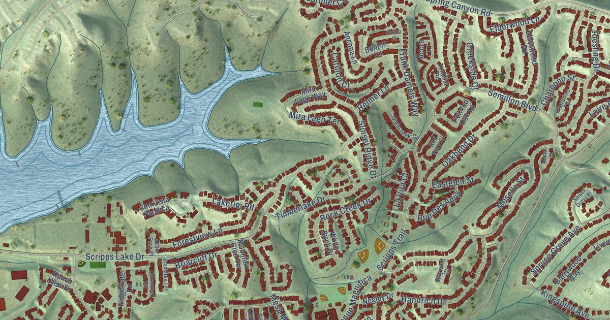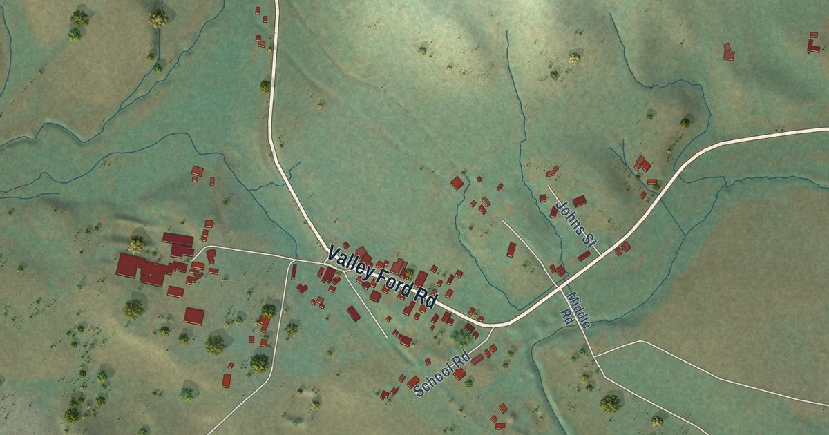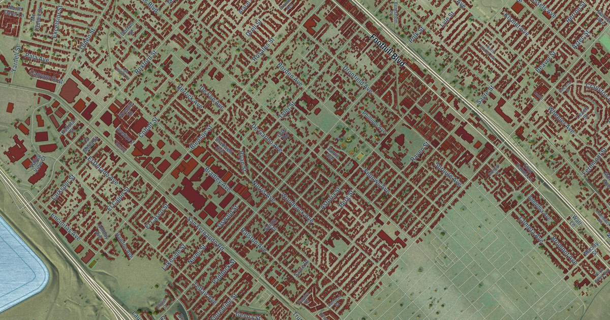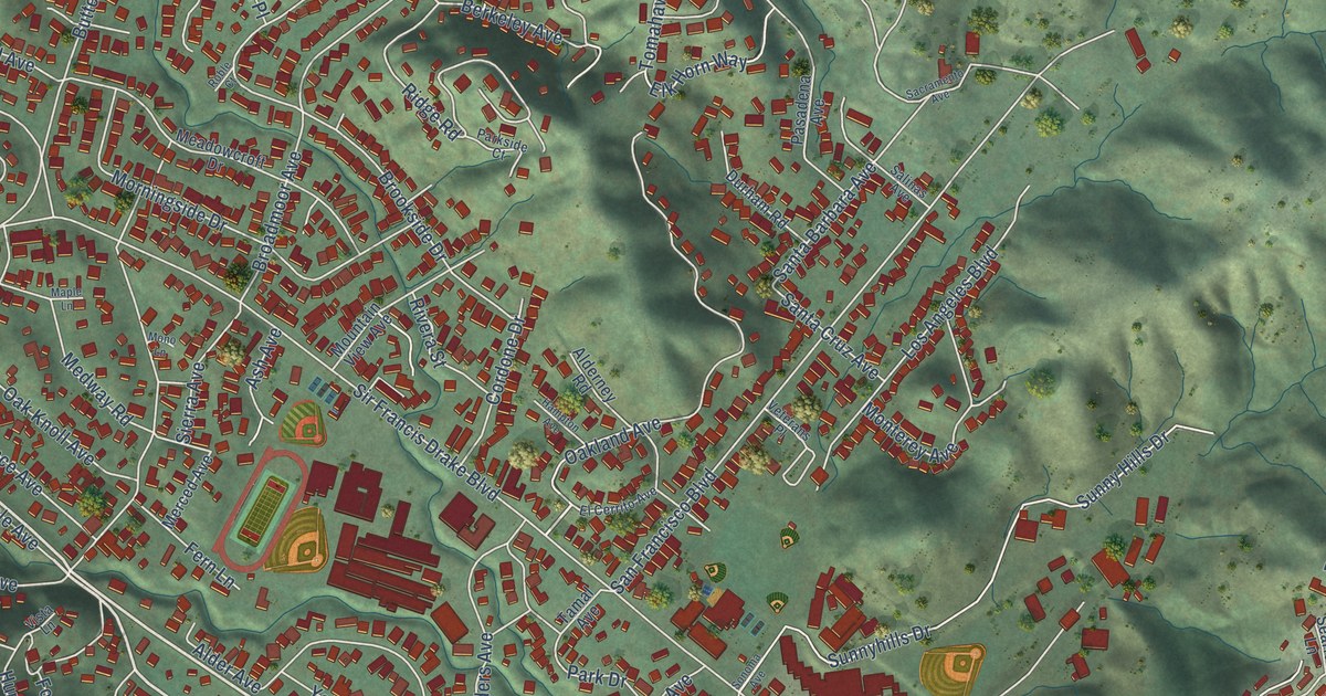
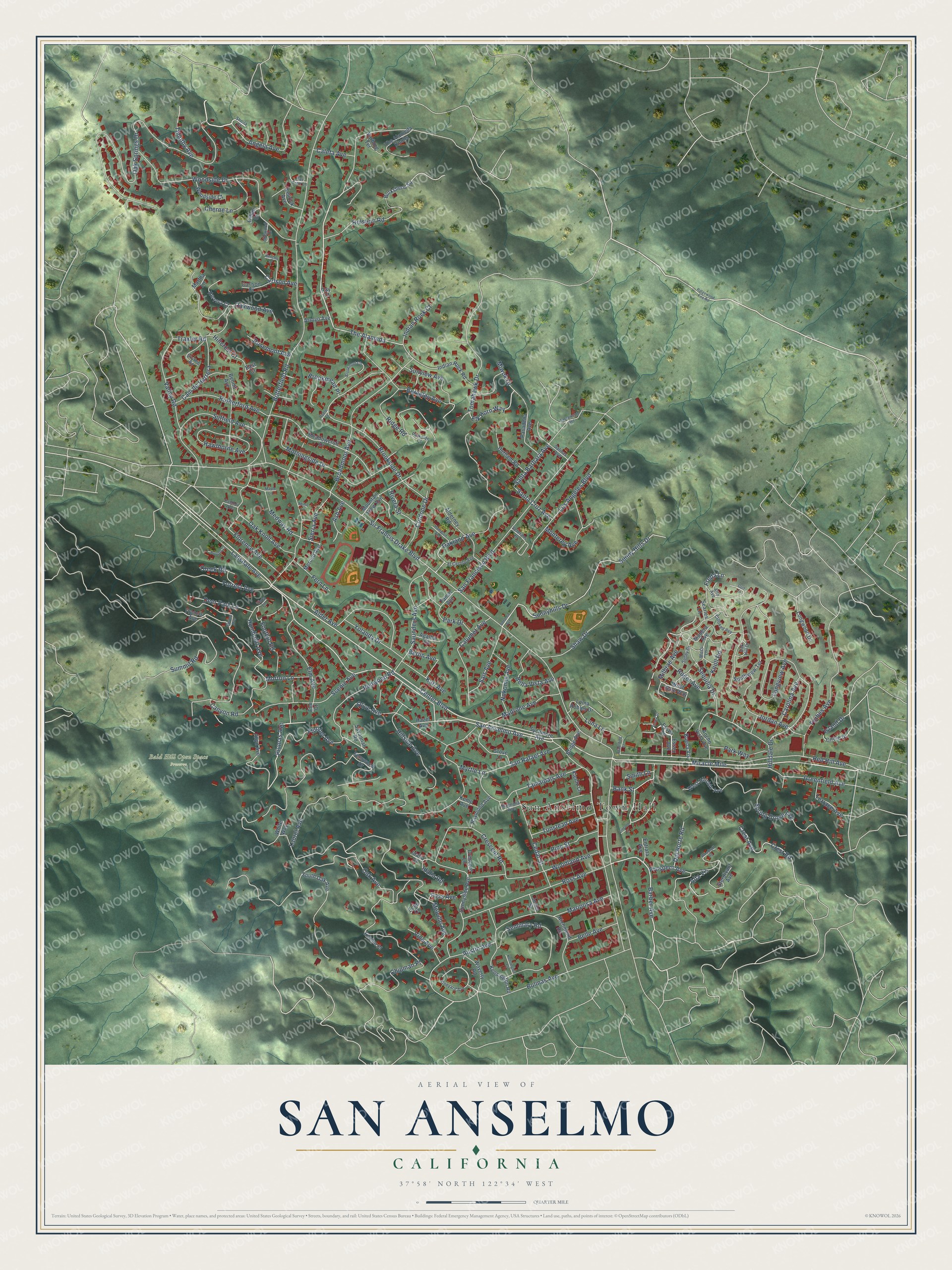
This beautifully detailed map of San Anselmo, California was created in 2026 using aerial imagery combined with modern topographical, census, street and landmark data. It’s a one-of-a-kind view of San Anselmo that combines accurate data with a vintage aesthetic. The map shows every building in its true location, many of the roads carry their names, and the shaded topographic relief shows the shape of the land.
Explore an aerial view of San Anselmo, California
On the map you’ll find San Anselmo Town Hall, Bald Hill Open Space Preserve, Miracle Mile, and The Alameda, along with Angela Avenue, Plumas Avenue, Barber Avenue, San Anselmo Avenue, Center Boulevard, Roger Avenue, Sir Francis Drake Boulevard, Redwood Road, and more. If you look closely you can even find your house accurately drawn in its correct location. Zoom in on the preview to look for yours.
Did you know this piece of San Anselmo, California history?
From the San Anselmo Historical Museum: "For a few years the town was referred to on railroad maps as Junction, but in the 1880s, taking its name from Cooper’s original land grant, the name San Anselmo came into use."
Take a closer look at the San Anselmo map
Street and place names on the San Anselmo, California map
These names are printed on the map of San Anselmo, California.
Places: San Anselmo Town Hall and Bald Hill Open Space Preserve.
Streets and roads: Miracle Mile, Angela Avenue, Plumas Avenue, Barber Avenue, San Anselmo Avenue, Center Boulevard, The Alameda, Roger Avenue, Sir Francis Drake Boulevard, Redwood Road, Oak Avenue, Scenic Avenue.
More street names, A to Z
Agatha Court, Alder Avenue, Alderney Road, Allyn Avenue, Alta Vis, Alto Avenue, Ancho Vista Avenue, Arroyo Avenue, Ash Avenue, Austin Avenue, Bank Street, Bay Tree Lane, Bella Vista Avenue, Belle Avenue, Bennit Avenue, Berkeley Avenue, Berlin Avenue, Bolinas Avenue, Bridge Avenue, Broadmoor Avenue, Brookmead Place, Brookmont Circle, Brookside Drive, Buena Vis, Burkshere Square, Butterfield Road, Caleta Avenue, Calumet Avenue, Cam de Herrera, Canyon Road, Carlson Avenue, Carlson Court, Carolina Avenue, Cedar Street, Cherne Lane, Chipman Place, Circle Drive, Cordone Drive, Creek Road, Crescent Lane, Crescent Road, Crest Avenue, Crest Road, Crooked Avenue, Deer Park Lane, Del Norte Road, Durham Road, East Court, Echo Court, El Cerrito Avenue, Elk Horn Way, Elm Avenue, Elm Court, Encina Place, Entrata Avenue, Essex Avenue, Essex Lane, Essex Street, Fern Lane, Fernwood Drive, Florence Avenue, Floribel Avenue, Foothill Road, Forbes Avenue, Forrest Avenue, Foss Avenue, Francis Avenue, Freda Lane, Golf Lane, Greenfield Avenue, Grove Lane, Hampton Avenue, Hawthorne Avenue, Hazel Avenue, Herrera Court, Hillcrest Court, Hilldale Drive, Hillside Avenue, Holstein Road, Hooper Lane, Humboldt Avenue, Idalia Court, Idalia Road, Idlewood Drive, Indian Rock Court, Indian Rock Road, Island Drive, Jones Street, Jordan Avenue, Karl Avenue, Kemp Avenue, Kenrick Avenue, Kensington Court, Kensington Road, Kientz Lane, Knoll Road, Lansdale Avenue, Laurel Avenue, Lillian Court, Lincoln Court, Loma Robles Drive, Longview Avenue, Longwood Drive, Los Angeles Boulevard, Luna Lane, Madera Avenue, Madrone Avenue, Magnolia Avenue, Maple Lane, Mariposa Avenue, Martha Lane, Meadowcroft Drive, Medway Road, Melville Avenue, Merced Avenue, Milbrae Avenue, Miwok Drive, Mono Lane, Monterey Avenue, Morningside Drive, Morton Lane, Moss Lane, Mountain View Avenue, Myrtle Lane, Nokomis Avenue, Oak Hill Drive, Oak Knoll Avenue, Oakland Avenue, Oak Springs Drive, Oakwood Avenue, Olive Avenue, Park Drive, Parkside Court, Park Way, Pasadena Avenue, Pastori Avenue, Pine Street, Prospect Avenue, Rancho Drive, Ray Court, Raymond Avenue, Red Hill Avenue, Richmond Road, Ridge Road, Ridgewood Fire Road, Rivera Street, Roble Court, Rosemont Avenue, Ross Avenue, Rutherford Avenue, Sacramento Avenue, Sais Avenue, Salinas Avenue, San Francisco Boulevard, San Rafael Avenue, Santa Barbara Avenue, Santa Cruz Avenue, Saunders Avenue, Savannah Road, Searles Lane, Seminary Road, Sequoia Drive, Shaw Drive, Sheila Court, Sierra Avenue, Skyline Road, Smith Lane, Sonoma Avenue, South Oak Avenue, Southview Terrace, Spaulding Street, Spring Grove Avenue, Spruce Avenue, Sturdivant Avenue, Suffield Avenue, Summit Road, Sunny Drive, Sunny Hills Drive, Sunnyhills Drive, Sunnyside Avenue, Sunview Avenue, Sycamore Avenue, Tamal Avenue, Tamalpais Avenue, Terrace Avenue, The Alameda Knolls, Timothy Avenue, Tomahawk Drive, Traxler Road, Tunstead Avenue, Valley Road, Varborg Terrace, Veterans Place, Vine Avenue, Vineyard Avenue, Vista Lane, Waverly Road, West Gate Way, West Hillside Avenue, White Way, Woodland Avenue, Woodruff Road, Woodside Court, Woodside Drive, Yolanda Drive.
See the San Anselmo, California map on a wall
The San Anselmo map as an 18 x 24 inch print in a black frame.

This beautifully detailed map of San Anselmo makes an attractive addition to your office, library, or den, and it can even be used to teach children the geography and history of the area. It also makes a great gift for someone who left San Anselmo and still calls it home. When you’re done exploring, click here to get your copy of the San Anselmo map.