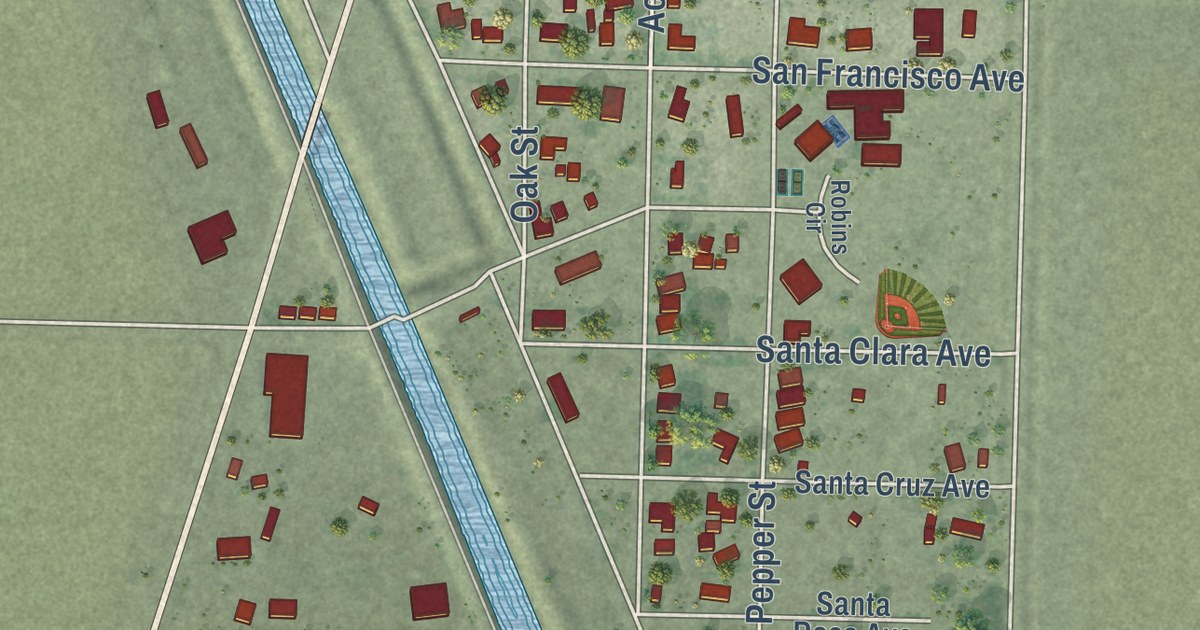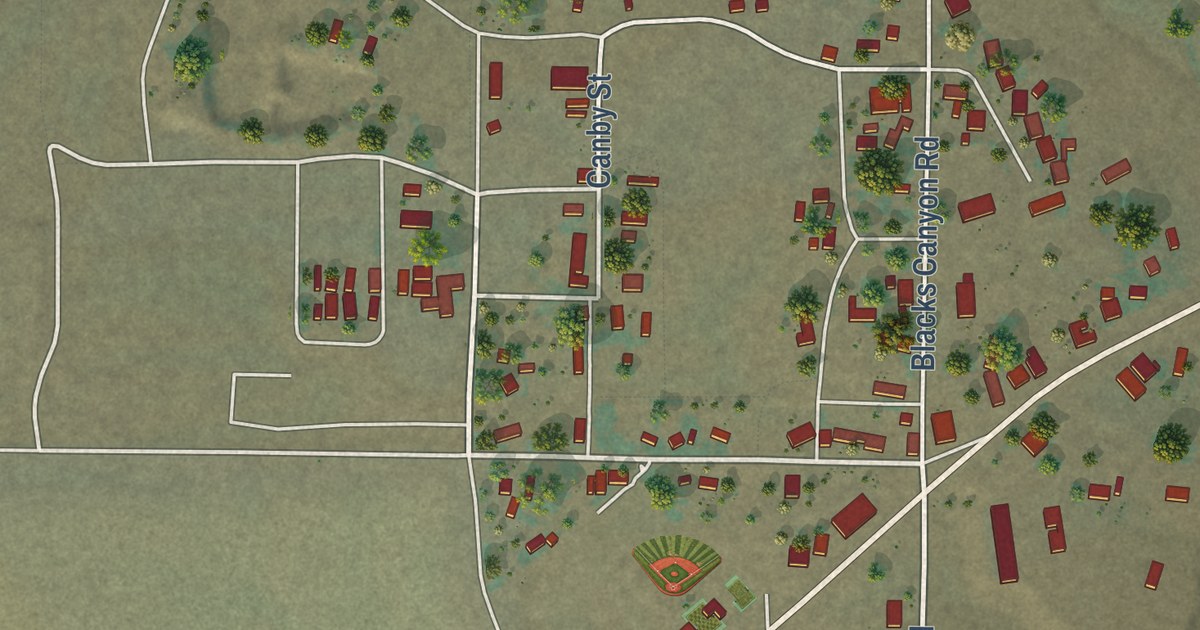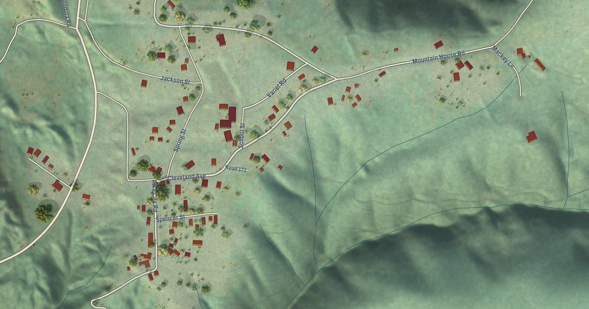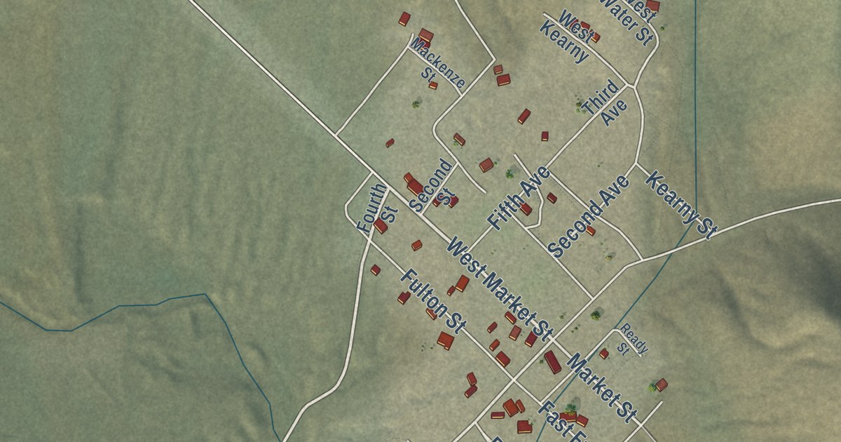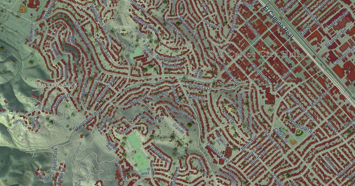
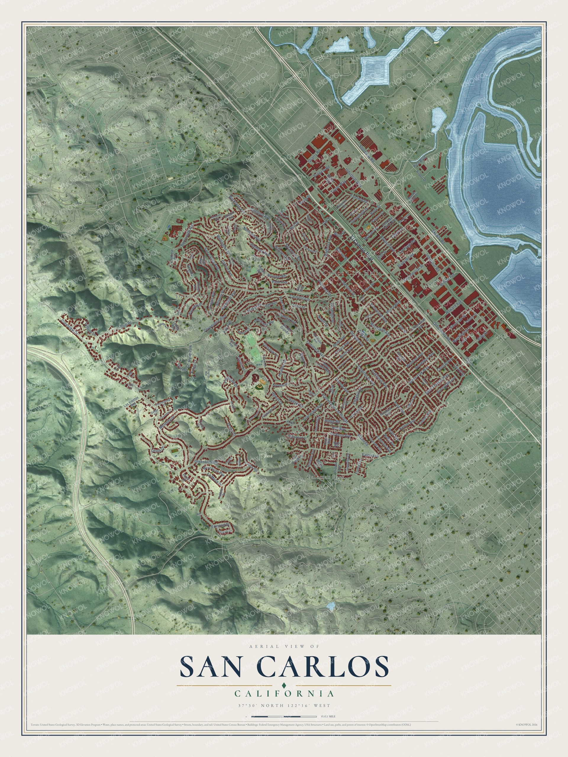
This beautifully detailed map of San Carlos, California was created in 2026 using aerial imagery combined with modern topographical, census, street and landmark data. It’s a one-of-a-kind view of San Carlos that combines accurate data with a vintage aesthetic. The map shows every building in its true location, many of the roads carry their names, and the shaded topographic relief shows the shape of the land.
Explore an aerial view of San Carlos, California
On the map you’ll find San Carlos City Hall, Devonshire, Arguello Park, Eaton Park, Palomar Park, and El Camino Real, along with Hillcrest Road, Shelford Avenue, Shoreway Road, Carmelita Drive, La Mesa Drive, Edmond Drive, and more. If you look closely you can even find your house accurately drawn in its correct location. Zoom in on the preview to look for yours.
Did you know this piece of San Carlos, California history?
From the National Register of Historic Places: "San Carlos was the only town on the Peninsula at that time whose economic base relied on a commuting population rather than local industry or commerce."
Take a closer look at the San Carlos map
Street and place names on the San Carlos, California map
These names are printed on the map of San Carlos, California.
Places: San Carlos City Hall, Devonshire, Arguello Park, Eaton Park, Palomar Park and Hyde Park.
Streets and roads: El Camino Real, Hillcrest Road, Shelford Avenue, Shoreway Road, Carmelita Drive, La Mesa Drive, Edmond Drive, Devonshire Boulevard, Fay Avenue, Brittan Avenue, Crestview Drive, Old County Road.
More street names, A to Z
Aberdeen Drive, Acacia Court, Airport Drive, Alameda, Alameda de Las Pulgas, Alberta Avenue, Alma Street, American Street, Arroyo Avenue, Arundel Road, Barford Avenue, Bauer Drive, Bayport Avenue, Bayport Court, Baytree Road, Bayview Drive, Belle Avenue, Belmont Avenue, Belvedere Avenue, Beverly Drive, Bing Street, Birch Avenue, Bow Drive, Bragato Road, Bransten Road, Brook Street, Buckland Avenue, Bush Street, Cabot Court, Cedar Street, Center Street, Central Avenue, Cherry Street, Chestnut Street, Chilton Avenue, Clifford Avenue, Clifton Avenue, Club Drive, Colton Avenue, Commercial Street, Cordilleras Avenue, Coronado Avenue, Cottage Lane, Coventry Court, Cranfield Avenue, Curry Court, Dale Avenue, Dartmouth Avenue, Dayton Avenue, De Anza Avenue, Debbie Lane, Deer Lane, Dickens Court, Drake Court, East San Carlos Avenue, Eaton Avenue, Edgehill Drive, Elizabeth Street, Elm Street, Elston Court, Emerald Avenue, Ensenada Road, Eucalyptus Avenue, Exbourne Avenue, Exeter Avenue, Exeter Way, Fairfield Drive, Fairmont Avenue, Fir Street, Fleetwood Drive, Frances Lane, Garnet Avenue, Geneva Avenue, Glasgow Lane, Glenn Way, Glenwood Street, Gover Lane, Graceland Avenue, Greenbrier Road, Greenwood Avenue, Hall Street, Heather Drive, Hemlock Street, Hewitt Drive, Highland Avenue, Hill Way, Holly Street, Howard Avenue, Hull Drive, Industrial Road, Industrial Way, Iris Lane, Kelton Avenue, Kings Court, Knoll Drive, Laurel Street, Leslie Drive, Lilly Lane, Loma Road, Los Vientos Way, Lynton Avenue, Madera Avenue, Magnolia Avenue, Manor Drive, Maple Way, McCue Avenue, Melendy Drive, Mesa Verde Way, Monte Vista Drive, Montgomery Lane, Morse Boulevard, Nanette Drive, Normandy Court, Northam Avenue, Oak Creek Lane, Oakhurst Avenue, Oakley Avenue, Oak Street, Oakview Drive, Olive Street, Orange Avenue, Palm Avenue, Park Avenue, Pearl Avenue, Pebble Drive, Pepper Lane, Phelps Road, Pico Boulevard, Pine Avenue, Plymouth Avenue, Portofino Drive, Porto Marino Drive, Prospect Street, Quarry Road, Queens Court, Ridge Road, Riverton Drive, Robin Way, Rogers Avenue, Roland Avenue, Rosewood Avenue, Roslyn Avenue, Royal Lane, Ruby Avenue, Rutherdale Avenue, Saint Francis Way, San Carlos Avenue, School Street, Sequoia Court, Sheldon Avenue, Sherwood Drive, Skyway Road, Somerset Court, Springfield Drive, Spring Street, Stafford Street, Sudan Lane, Sunnydale Avenue, Sunset Drive, Susie Lane, Sycamore Street, Sylvan Drive, Tamarack Avenue, Tanklage Road, Tasker Lane, Taylor Way, Thornhill Drive, Timothy Drive, Torino Drive, Tramanto Drive, Trillium Lane, Tulip Lane, Upper Lupin Way, Varian Street, Vine Street, Vis del Grande, Vista Avenue, Walnut Street, Walton Street, Washington Street, Wellington Drive, Wessex Way, White Oak Way, Whitman Court, Wildwood Avenue, Winding Way, Woodland Avenue.
See the San Carlos, California map on a wall
The San Carlos map as an 18 x 24 inch print in a black frame.

This beautifully detailed map of San Carlos makes an attractive addition to your office, library, or den, and it can even be used to teach children the geography and history of the area. It also makes a great gift for anyone with San Carlos roots. When you’re done exploring, click here to get your copy of the San Carlos map.