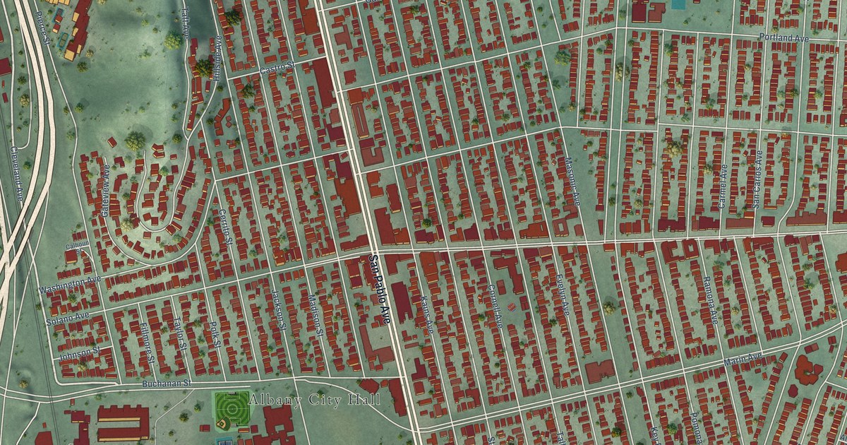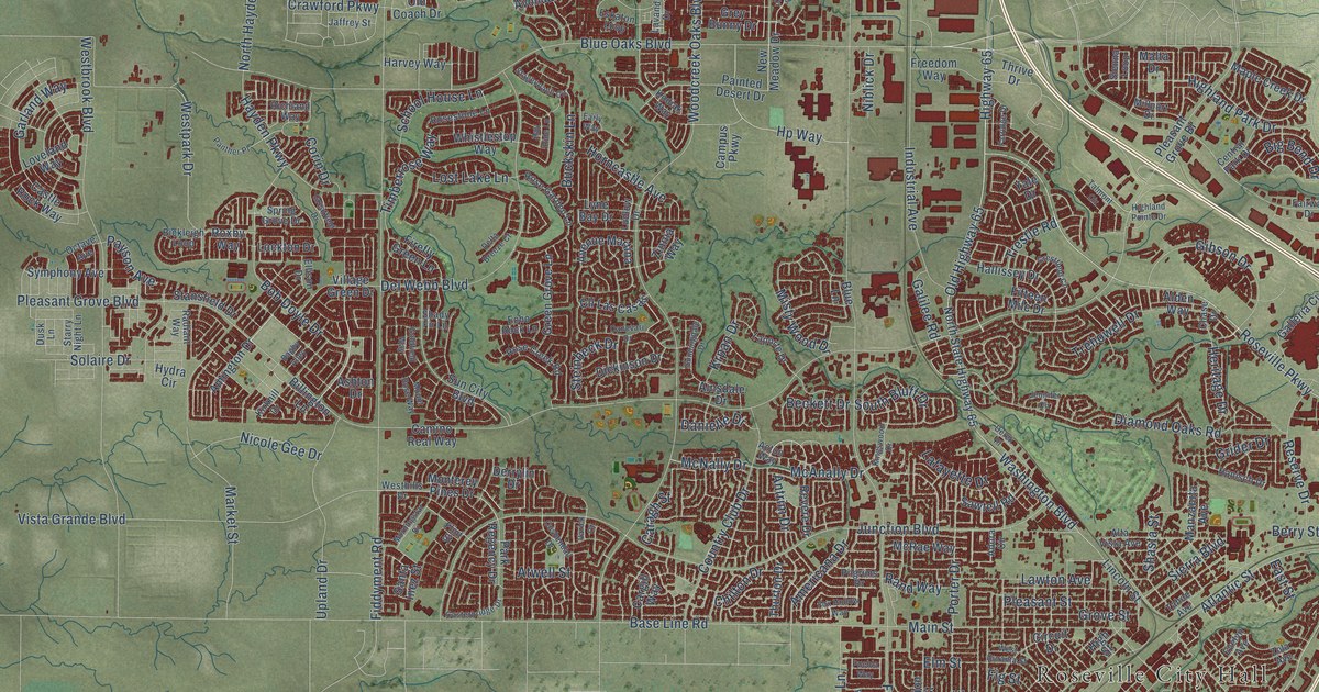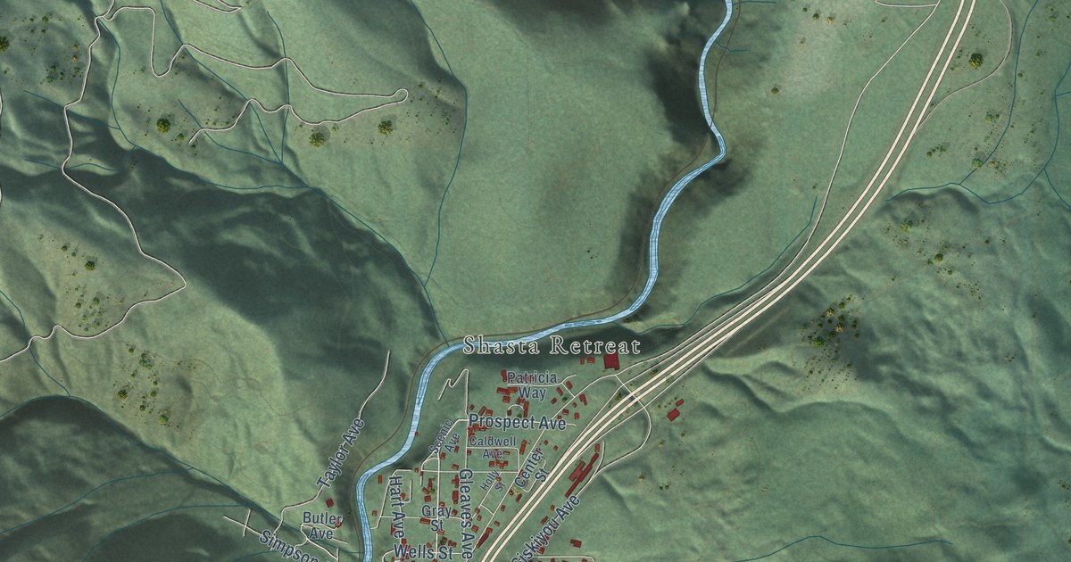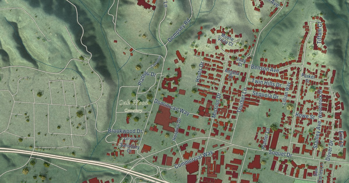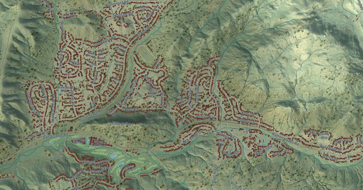
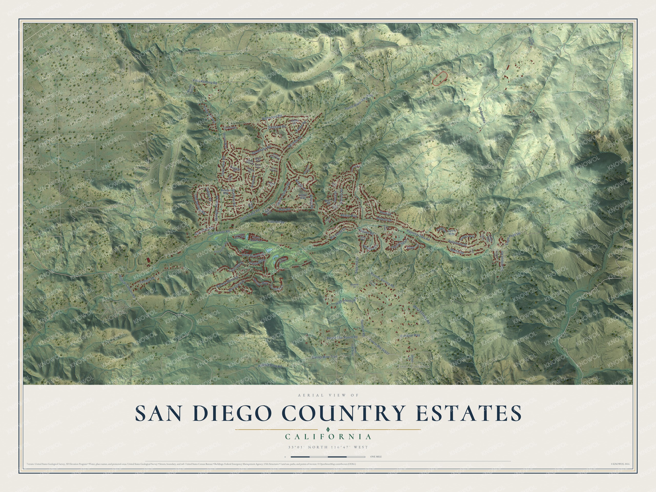
This beautifully detailed map of San Diego Country Estates, California was created in 2026 using aerial imagery combined with modern topographical, census, street and landmark data. It's a modern aerial view of San Diego Country Estates in San Diego County, California, that combines modern data with a vintage aesthetic. The roads feature printed names, and if you look closely you can find your exact house accurately shown in its correct location.
Explore an aerial view of San Diego Country Estates, California
On this map you'll find Cleveland National Forest, Four Corners, Bareta Star Ranch Road, Arena Drive, Open View Road, Ranch Road Jeep Trail, San Vicente Road, Eagle Peak Road, Ramona Oaks Road, Gunn Stage Road, Pappas Road, Rainbird Road, and more. Each red shape is a building, so zoom in on the preview and look for yours.
San Diego Country Estates is a community in San Diego County. The Census Bureau counted 10,395 people here in 2020. The map prints the town name in its title panel, with the coordinates below it.
Take a closer look at the San Diego Country Estates map
Names on this map
These names are printed on this map.
Places: Cleveland National Forest and Four Corners.
Streets and roads: Bareta Star Ranch Road, Arena Drive, Open View Road, Ranch Road Jeep Trail, San Vicente Road, Eagle Peak Road, Ramona Oaks Road, Gunn Stage Road, Pappas Road, Rainbird Road, Vista Ramona Road, Barona Mesa Road.
More street names, A to Z
Abalar Way, Abana Court, Arena Place, Arena Way, Avenel Lane, Bassett Way, Bellemore Drive, Bjoin Road, Calistoga Drive, Calistoga Place, Cam Arriba, Caras Court, Caryn Court, Cathedral Way, Cerro Vista Way, Cll Ovieda, Couna Way, Country Villa Road, Dartolo Road, Davis Cup Lane, Daylight Place, Daza Drive, Del Amo Road, El Ranches, Evenson Way, Felipe Road, Flair Lane, Forest Hill Drive, Gantry Way, Garnet Mine Trail, Georgios Way, Glenn Ellen Court, Glenn Ellen Way, Green Haven Lane, Gymkhana Road, Hereford Drive, High Country Road, Humiston Way, Indian Head Court, Kerri Lane, La Plata Court, Leada Way, Litten Way, Little Page Road, Lone Oak Trail, Majella Drive, Matlin Road, Mesa Estates Road, Moonglow Drive, Nectar Way, Novato Place, Oakley Road, Oak Springs Road, Otero Way, Painted Rock Road, Poderio Drive, Pso de Caballo, Rancho Barona Road, Republican Way, Rio Verde Drive, Rising Dale Way, Romine Drive, Rutherford Road, Sage Hill Drive, Sargeant Road, Scarbery Road, Shoen Lane, Spangler Peak Road, Staples Way, Swartz Canyon Road, Tana Way, Tesoro Way, Thornbush Road, Tombill Road, Vista Vicente Drive, Vista Vicente Way, Watt Road, Watt Way, Wikiup Road, Wildcat Canyon Road, Woods Hill Lane, Yorba Linda Court, Ysidro Drive, Zanja Place, Zeigler Court.
Created by KNOWOL in 2026. The buildings are small red shapes, the roads carry their printed names, and shaded relief shows the shape of the land. The title panel reads "AERIAL VIEW OF SAN DIEGO COUNTRY ESTATES CALIFORNIA" with 33°01' NORTH 116°47' WEST.
Hang it in the hallway, the office or the cabin, or give it to someone who left San Diego Country Estates and still calls it home. Open the preview and look for a street you know. See sizes and frames for the San Diego Country Estates map.