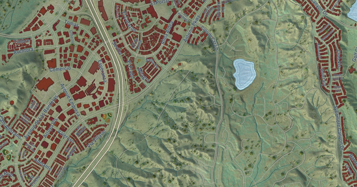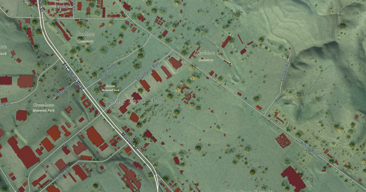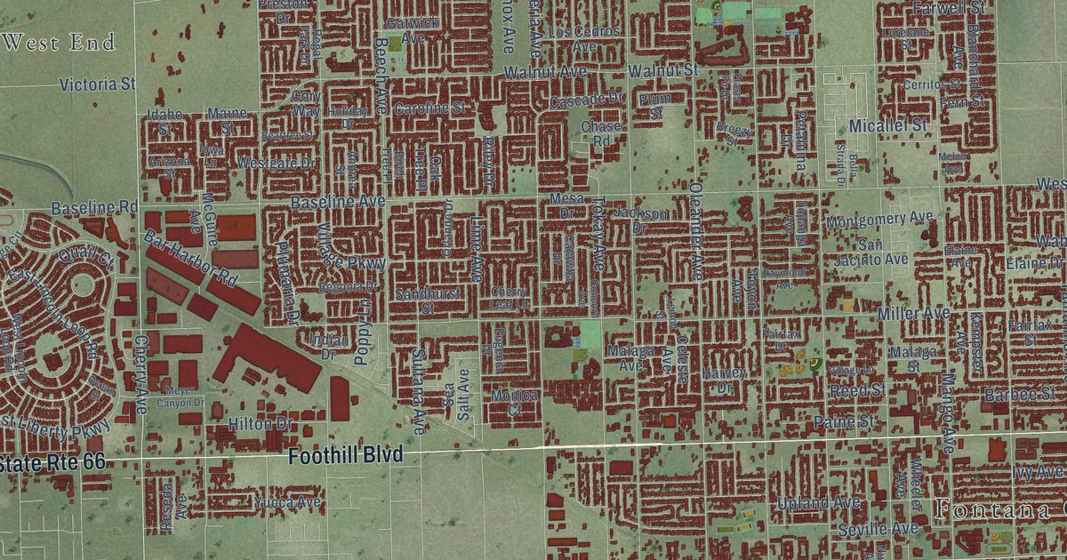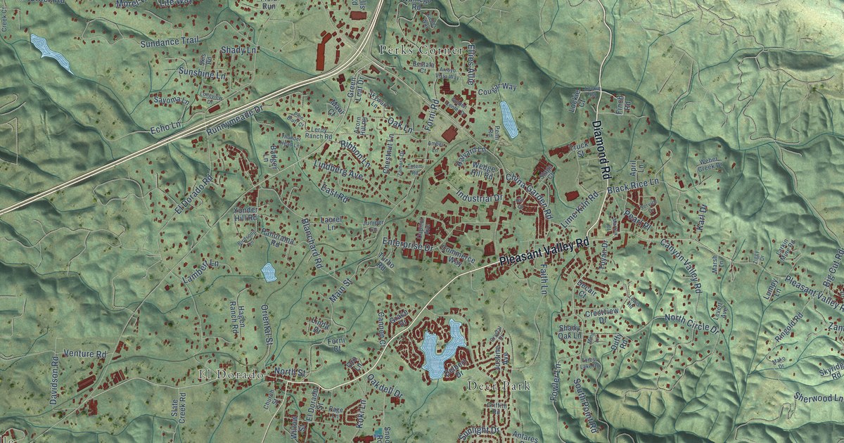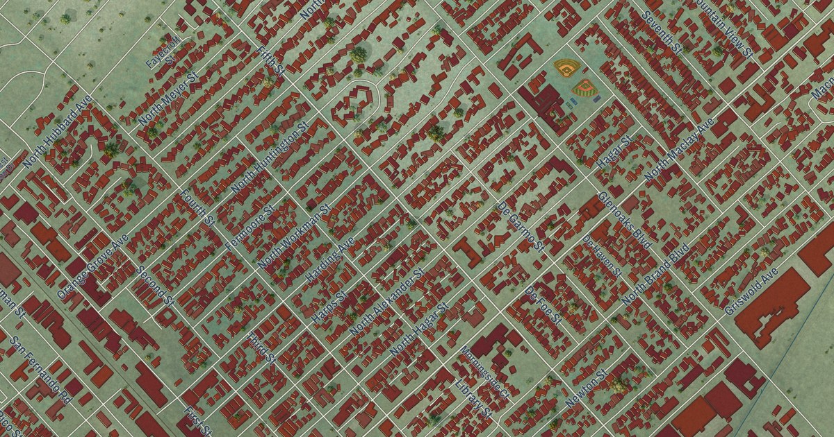
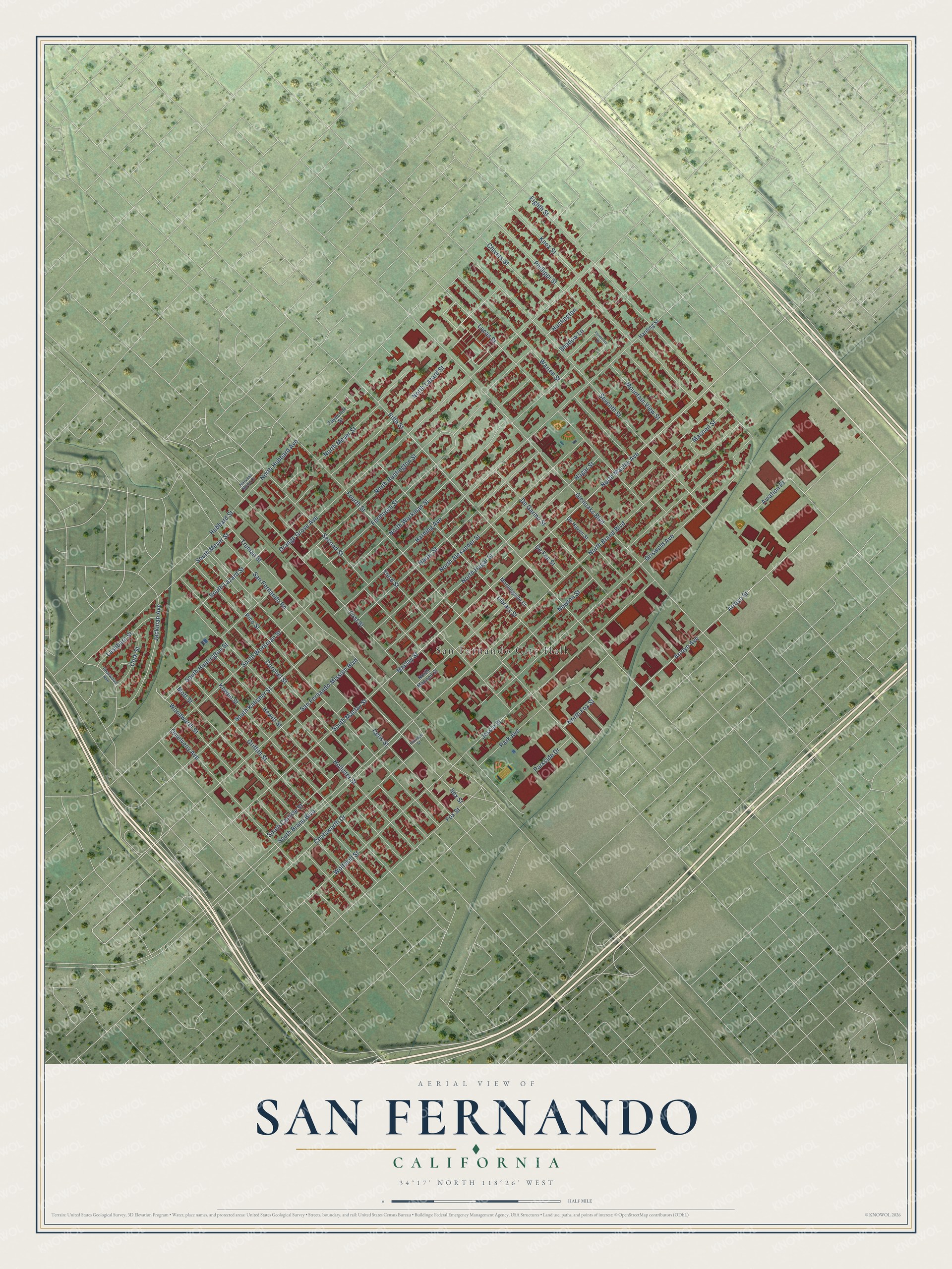
This beautifully detailed map of San Fernando, California was created in 2026 using aerial imagery combined with modern topographical, census, street and landmark data. It's a modern aerial view of San Fernando in Los Angeles County, California, that combines modern data with a vintage aesthetic. The roads feature printed names, and if you look closely you can find your exact house accurately shown in its correct location.
Explore an aerial view of San Fernando, California
On this map you'll find San Fernando City Hall, Maclay Street, North Maclay Avenue, Fifth Street, South Maclay Street, Orange Grove Avenue, Fourth Street, North Brand Boulevard, Glenoaks Boulevard, Harding Avenue, San Fernando Road, Truman Street, and more. Each red shape is a building, so zoom in on the preview and look for yours.
Every town has a first chapter, and San Fernando is no exception. The record at ohp.parks.ca.gov puts it this way: "Originally part of the San Fernando Mission lands, this ranch was purchased by David Wark Griffith, revered pioneer of silent motion pictures, in 1912."
San Fernando is a city in Los Angeles County. The Census Bureau counted 23,946 people here in 2020.
Take a closer look at the San Fernando map
Names on this map
These names are printed on this map.
Places: San Fernando City Hall.
Streets and roads: Maclay Street, North Maclay Avenue, Fifth Street, South Maclay Street, Orange Grove Avenue, Fourth Street, North Brand Boulevard, Glenoaks Boulevard, Harding Avenue, San Fernando Road, Truman Street, North Huntington Street.
More street names, A to Z
Arroyo Avenue, Arroyo Street, Aviation Place, Celis Street, Chatsworth Drive, Chivers Street, Cork Street, Coronel Street, De Foe Street, De Garmo Street, De Haven Street, Eighth Street, Fayecroft Street, Fermoore Drive, Fermoore Street, First Street, Fox Street, Griffith Street, Griswold Avenue, Hagar Street, Harding Street, Harps Street, Harvest Moon Drive, Hewitt Street, Hollister Street, Hubbard Street, Huntington, Ilex Street, Jackman Avenue, Jessie Street, Kewen Street, Kittridge Street, Knox Street, Lashburn Street, Library Street, Lucas Street, Macneil Street, Morningside Court, Mott Street, Mountain View Street, Newton Street, North Alexander Street, North Fox Street, North Hagar Street, North Hubbard Avenue, North Lazard Street, North Macneil Street, North Meyer Street, North Workman Street, Omelveny Avenue, Park Avenue, Parkside Drive, Pearwood Avenue, Phillippi Street, Pico Street, San Fernando Mission Boulevard, Second Street, Seventh Street, Shadow Lane, South Brand Boulevard, South Carlisle Street, South Huntington Street, South Kalisher Street, South Lazard Street, South Meyer Street, South Workman Street, Third Street, Warren Street, Wolfskill Street, Woodworth Street.
Created by KNOWOL in 2026. The buildings are small red shapes, the roads carry their printed names, and shaded relief shows the shape of the land. The title panel reads "AERIAL VIEW OF SAN FERNANDO CALIFORNIA" with 34°17' NORTH 118°26' WEST.
Hang it in the hallway, the office or the cabin, or give it to someone who left San Fernando and still calls it home. Open the preview and look for a street you know. See sizes and frames for the San Fernando map.