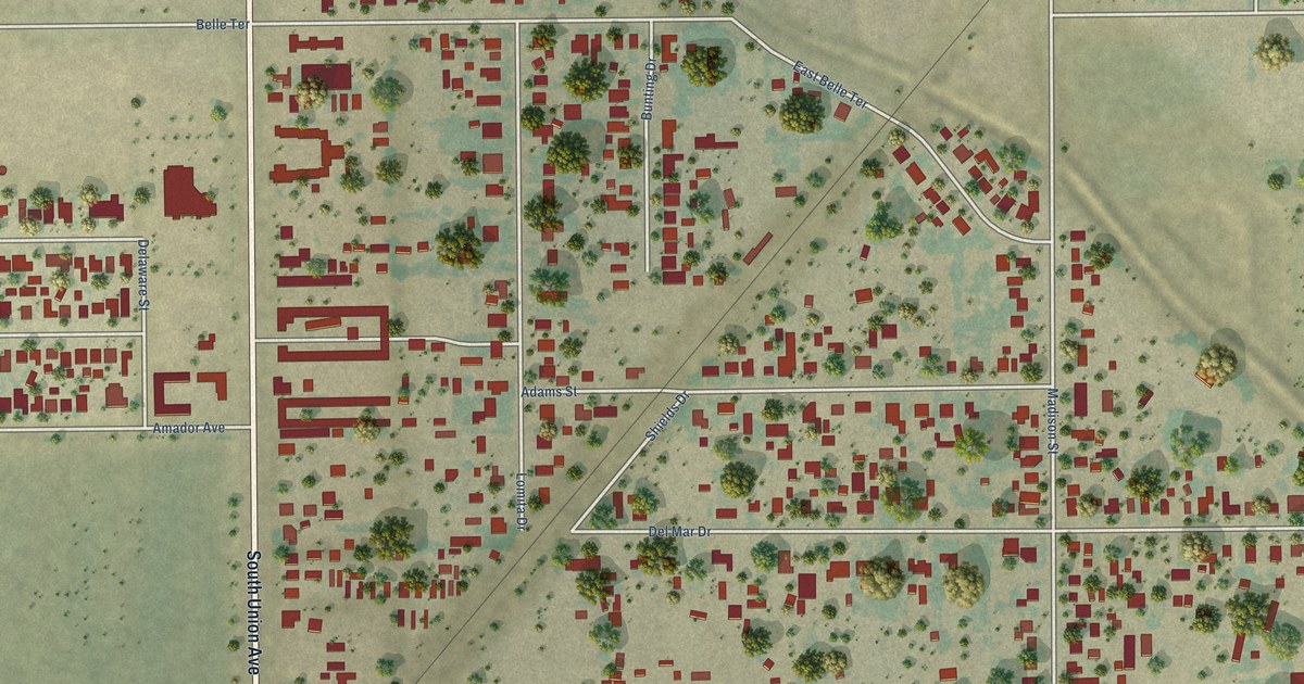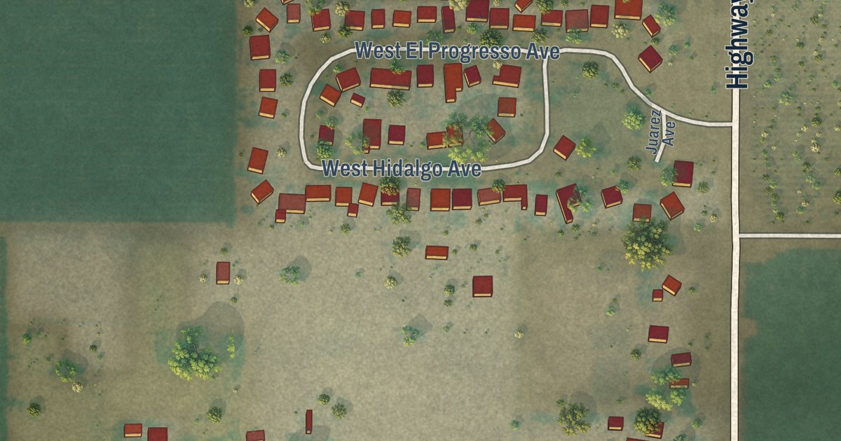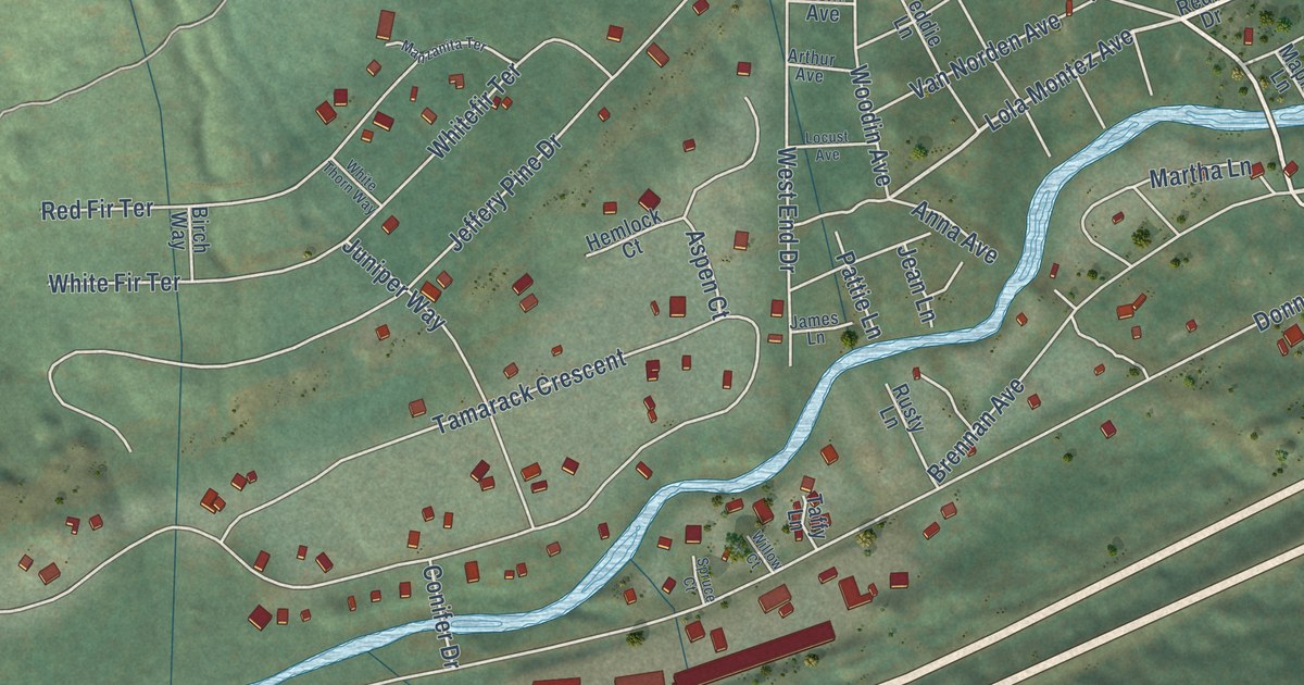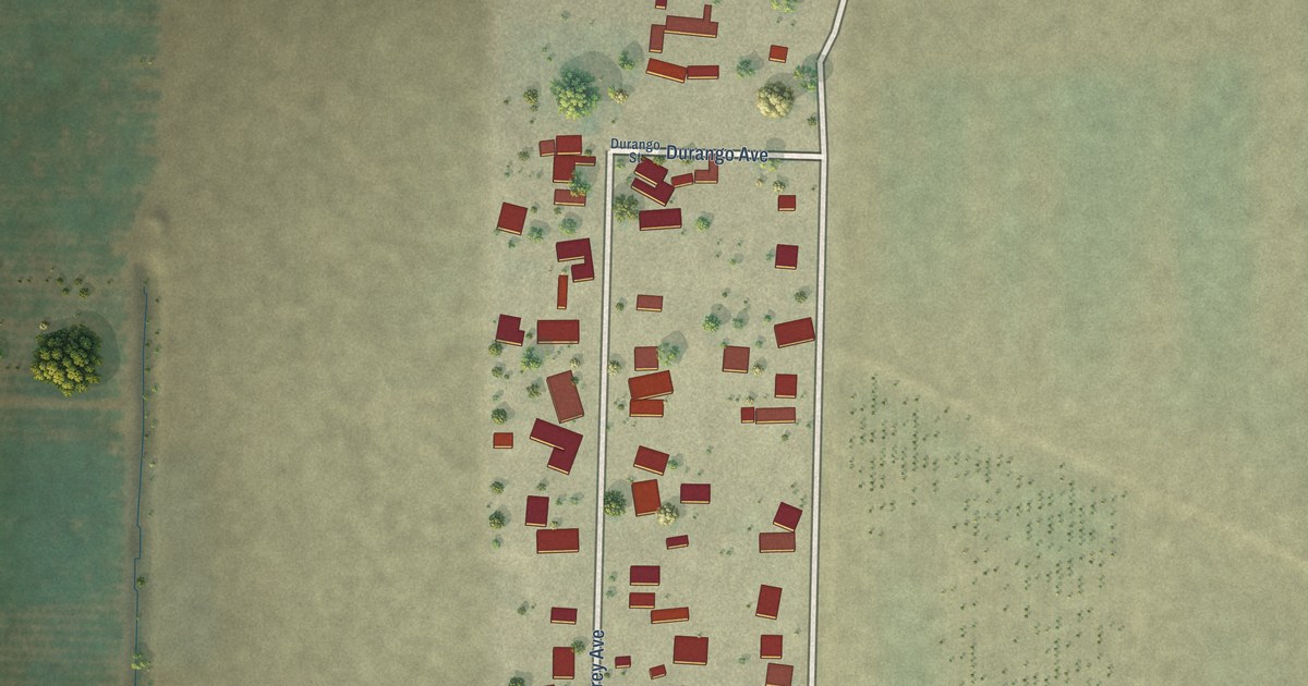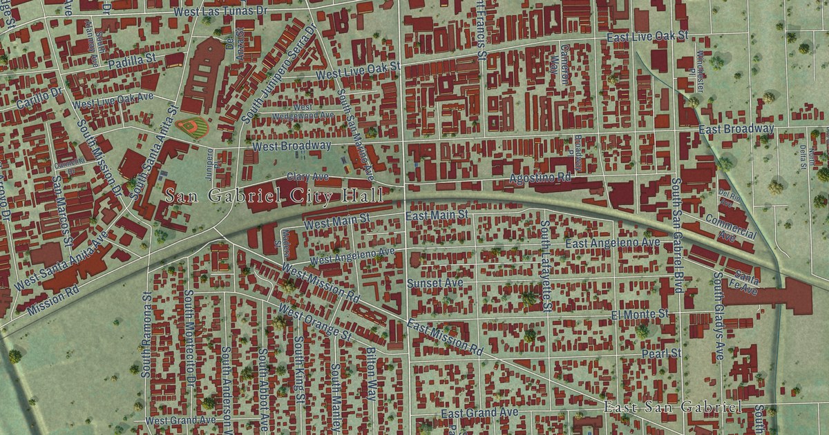
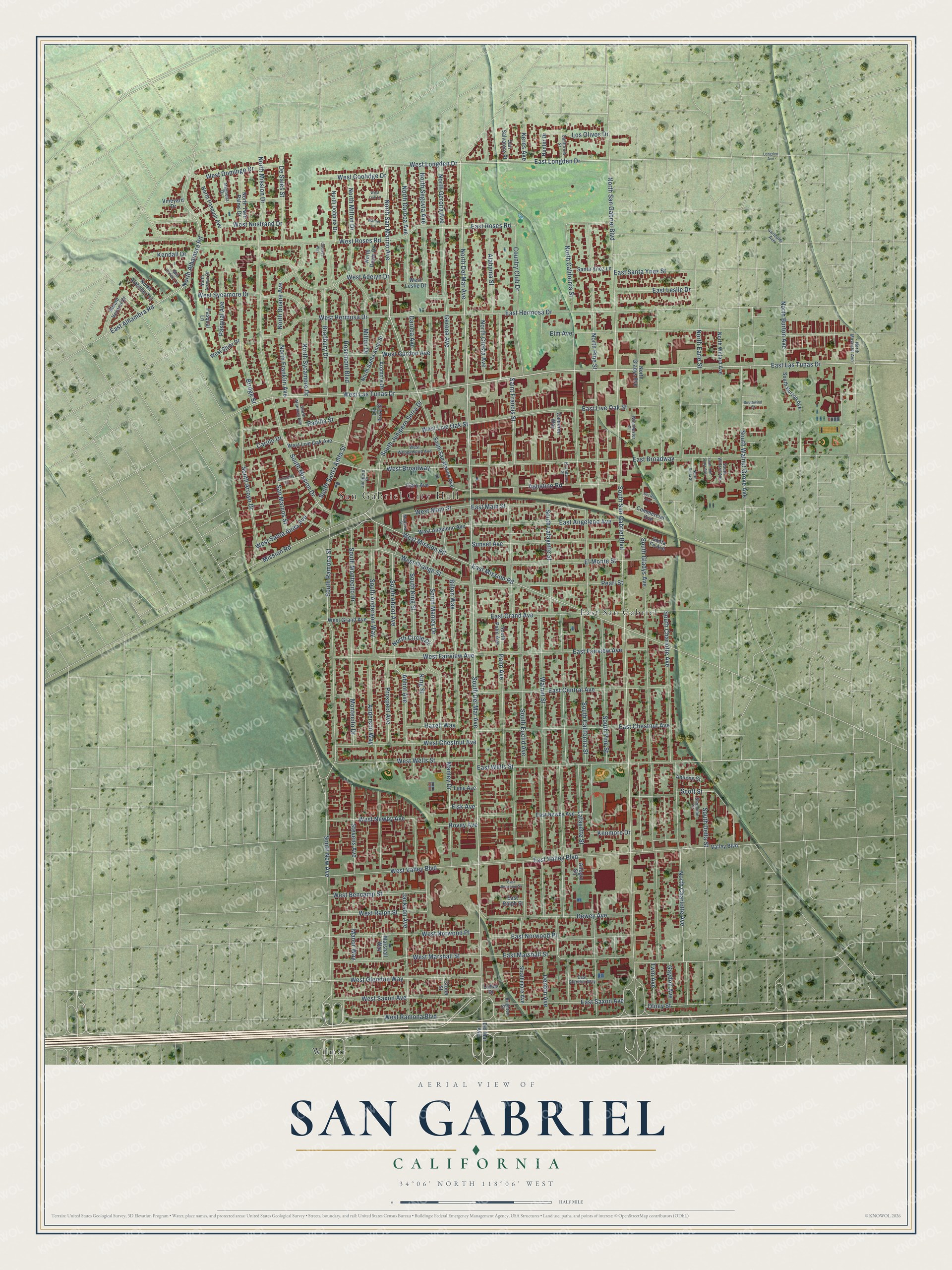
This beautifully detailed map of San Gabriel, California was created in 2026 using aerial imagery combined with modern topographical, census, street and landmark data. It’s a one-of-a-kind view of San Gabriel that combines accurate data with a vintage aesthetic. The map shows every building in its true location, many of the roads carry their names, and the shaded topographic relief shows the shape of the land.
Explore an aerial view of San Gabriel, California
On the map you’ll find San Gabriel City Hall, East San Gabriel, and Wilmar, along with South Del Mar Avenue, East Las Tunas Drive, North San Marino Avenue, North Del Mar Avenue, West Longden Drive, East Longden Drive, West Las Tunas Drive, North San Gabriel Boulevard, West Mission Road, and more. If you look closely you can even find your house accurately drawn in its correct location. Zoom in on the preview to look for yours.
Did you know this piece of San Gabriel, California history?
From Ohp.parks.ca.gov: "In 1859, the adobe became the property of Don Jean Vigare and in the early 1860s, as San Gabriel's first bakery, it was separated from the mission's lime orchard by a high cactus wall."
Take a closer look at the San Gabriel map
Street and place names on the San Gabriel, California map
These names are printed on the map of San Gabriel, California.
Places: San Gabriel City Hall, East San Gabriel and Wilmar.
Streets and roads: South Del Mar Avenue, East Las Tunas Drive, North San Marino Avenue, North Del Mar Avenue, West Longden Drive, East Longden Drive, West Las Tunas Drive, North San Gabriel Boulevard, West Mission Road, South San Gabriel Boulevard, East Hermosa Drive, East Mission Road.
More street names, A to Z
Abbot Avenue, Abilene Street, Agostino Road, Alabama Street, Allegro Square, Anderson Way, Ardmore Drive, Bilton Way, Bradbury Drive, Bridge Street, Brighton Street, Broadway Place, California Street, Cameron Way, Carillo Drive, Carmelita Drive, Chelsea Way, Clary Avenue, Commercial Avenue, Country Club Drive, Crone Street, Daroca Avenue, De Anza Street, Del Mar Avenue, Del Rio Avenue, Denton Avenue, De Sales Street, Dewey Avenue, East Alhambra Road, East Angeleno Avenue, East Bencamp Street, East Broadway, East Central Avenue, East Chestnut Avenue, East Fairview Avenue, East Glendon Way, East Grand Avenue, East Leslie Drive, East Live Oak Street, East Main Street, East Marshall Street, East Newby Avenue, East Norwood Place, East Ralph Street, East Roses Road, East Santa Ynez Street, East Saxon Avenue, East Valley Boulevard, East Wells Street, Elm Avenue, El Monte Street, Fisk Avenue, Garibaldi Avenue, Gaydon Avenue, Gerona Avenue, Hazell Way, Hovey Avenue, Hunter Drive, Jackson Avenue, Junipero Place, Kendall Drive, Kenmore Drive, Kerns Avenue, King Street, Lafayette Street, Lime Avenue, Loftus Drive, Longden Avenue, Los Olivos Drive, Madera Street, Magnolia Drive, Manley Drive, Manor Way, Marshall Way, Mill Creek Lane, Milton Drive, Mission Road, Montecito Drive, Mount Vernon Drive, North Alahmar Terrace, North Alhambra Road, North Arroyo Drive, North Burton Avenue, North California Street, North Charlotte Avenue, North Circle Drive, North Cresta Avenue, North Daroca Avenue, North Delta Street, North Dobbins Drive, North Doyle Drive, North Duane Avenue, North Earle Street, North Franklin Avenue, North Gerona Avenue, North Gladys Avenue, North Milton Drive, North Mission Drive, North Muscatel Avenue, North Pasqual Avenue, North Pine Street, North Santa Anita Street, North Segovia Avenue, North Sycamore Drive, North Twin Palms Drive, North Willard Avenue, Olney Street, Padilla Street, Palm Avenue, Pasqual Avenue, Pasqual Lane, Pearl Street, Prospect Avenue, Rosemont Boulevard, Saint Francis Street, San Marcos Street, San Salvatore Place, Santa Fe Avenue, Santa Ynez Lane, Scott Street, South Abbot Avenue, South Alanmay Avenue, South Anderson Way, South Arroyo Drive, South Burton Avenue, South California Street, South Charlotte Avenue, South Del Loma Avenue, South Delta Street, South Euclid Avenue, South Gladys Avenue, South Junipero Serra Drive, South King Street, South Lafayette Street, South Manley Drive, South Mission Drive, South Montecito Drive, South New Avenue, South Palm Avenue, South Pine Street, South Ramona Street, South San Marino Avenue, South Santa Anita Street, South Walnut Grove Avenue, South Willard Avenue, Southwind Court, Stevens Avenue, Strathmore Avenue, Sunset Avenue, Sunshine Court, Twin Avenue, Valley Boulevard, Vineyard Drive, Walnut Street, Warner Lane, West Adelyn Drive, West Angeleno Avenue, West Bencamp Street, West Broadway, West Chestnut Avenue, West Coolidge Drive, West Domingo Drive, West Fairview Avenue, West Glendon Way, West Grand Avenue, West Gurdon Avenue, West Hermosa Drive, West Leslie Drive, West Live Oak Avenue, West Live Oak Street, West Main Street, West Marshall Street, West Newby Avenue, West Norwood Place, West Nostrand Drive, West Oak Lane, West Orange Street, West Ralph Street, West Ramona Boulevard, West Roses Road, West Santa Anita Avenue, West Saxon Avenue, West Stuhr Drive, West Sycamore Drive, West Valley Boulevard, West Wedgewood Avenue, West Wells Street, Winchester Place.
See the San Gabriel, California map on a wall
The San Gabriel map as an 18 x 24 inch print in a black frame.

This beautifully detailed map of San Gabriel makes an attractive addition to your office, library, or den, and it can even be used to teach children the geography and history of the area. It also makes a great gift for anyone who grew up in San Gabriel or moved away. When you’re done exploring, click here to get your copy of the San Gabriel map.