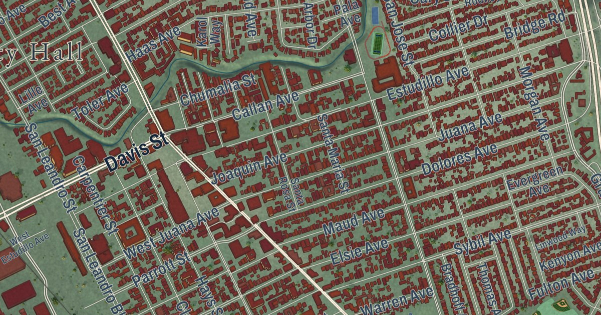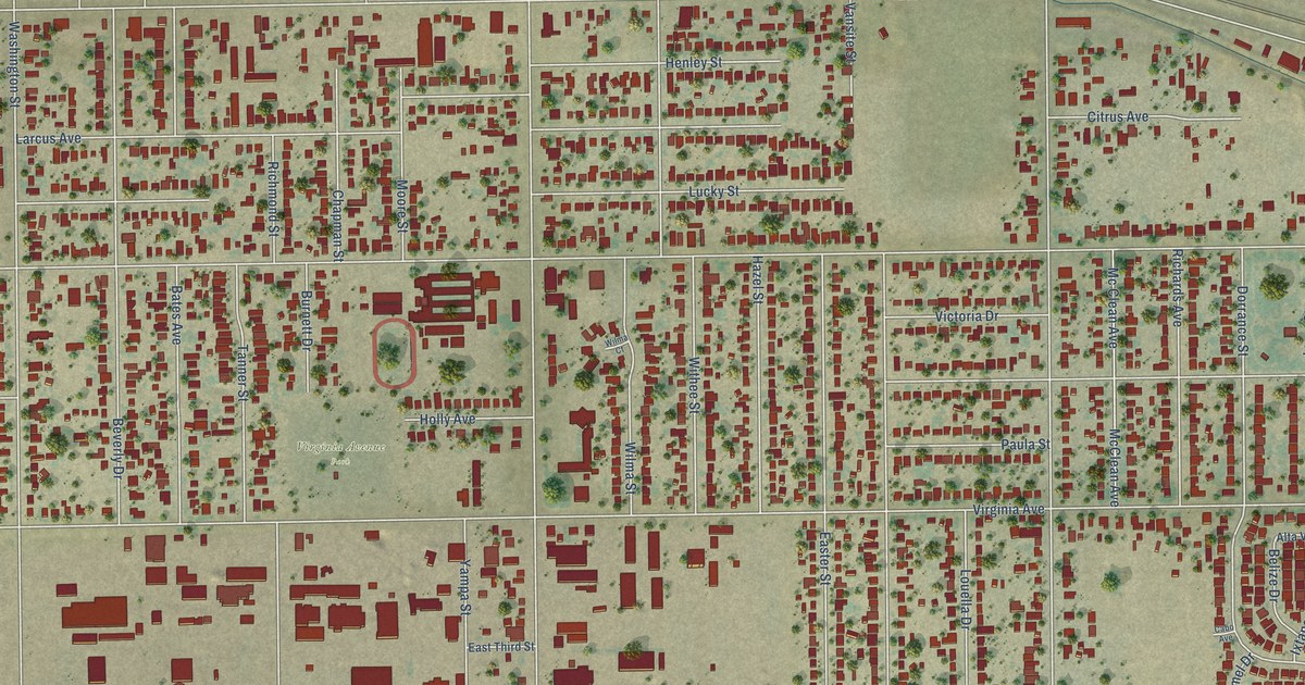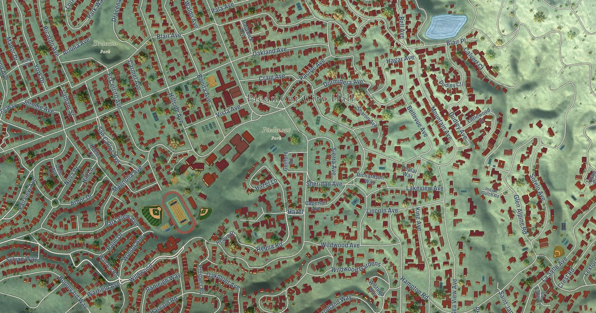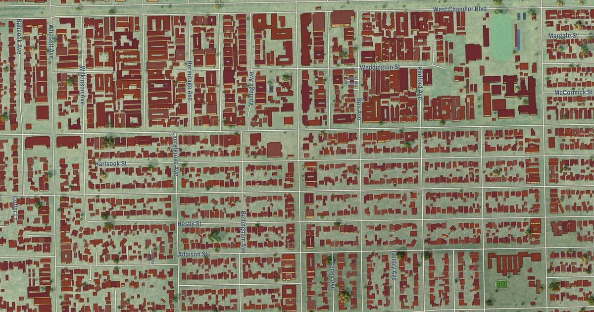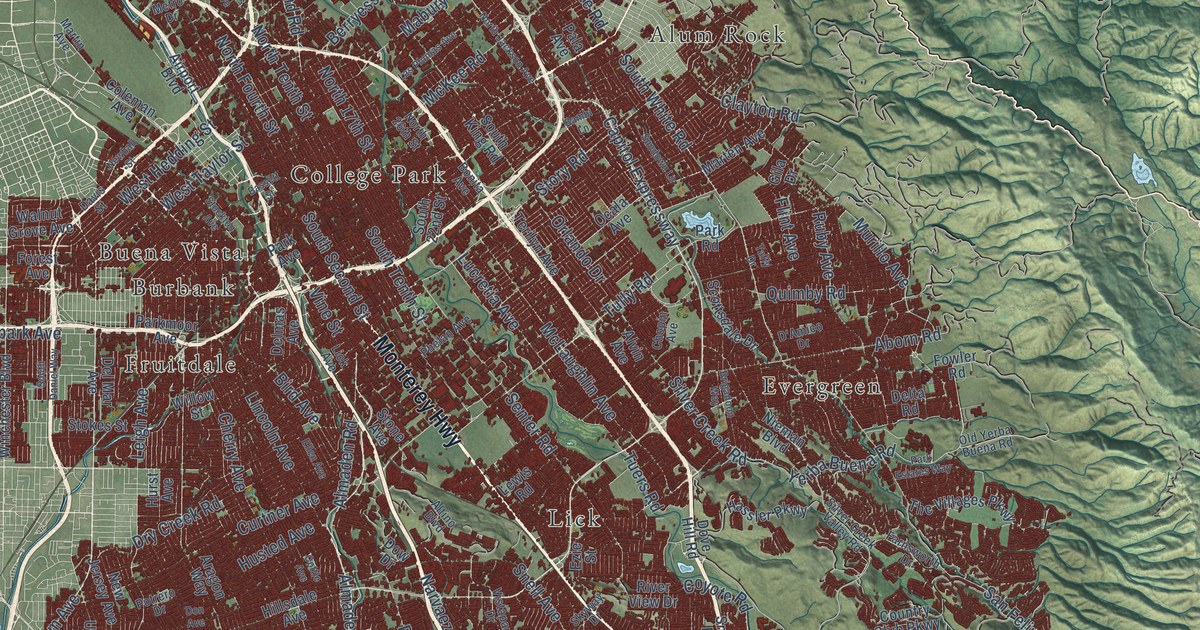
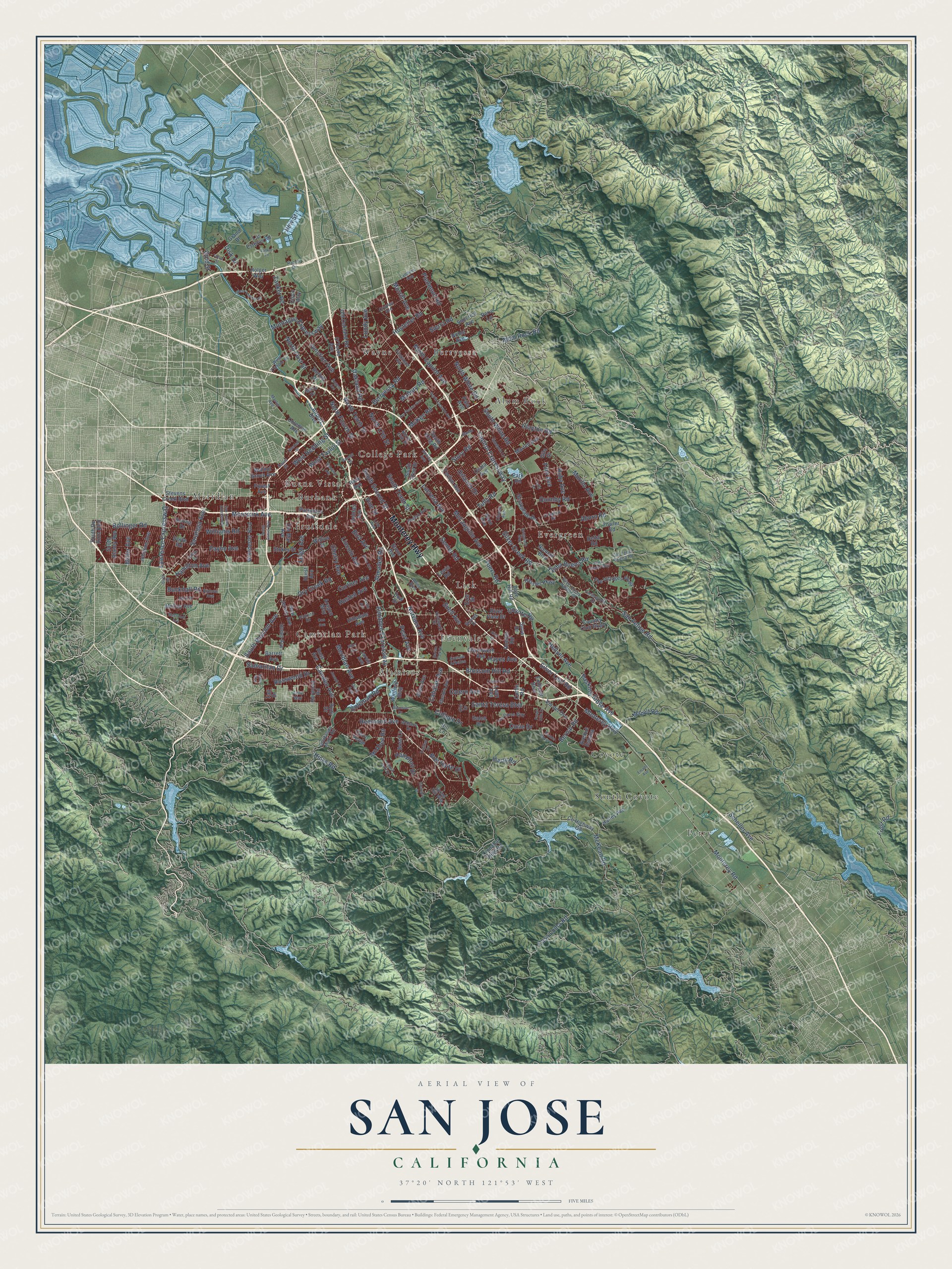
This beautifully detailed map of San Jose, California was created in 2026 using aerial imagery combined with modern topographical, census, street and landmark data. It’s a one-of-a-kind view of San Jose that combines accurate data with a vintage aesthetic. The map shows every building in its true location, many of the roads carry their names, and the shaded topographic relief shows the shape of the land.
Explore an aerial view of San Jose, California
On the map you’ll find Alamitos, Alum Rock, Berryessa, Buena Vista, Burbank, Cambrian Park, College Park, Coyote, Edenvale, Evergreen, Fruitdale, Lick, and more. If you look closely you can even find your house accurately drawn in its correct location. Zoom in on the preview to look for yours.
Did you know this about San Jose, California?
From Ohp.parks.ca.gov: "Within a year after the opening of the first overland route from Mexico to Alta California, Governor Felipe de Neve authorized establishment of California's first civil settlement."
Take a closer look at the San Jose map
Street and place names on the San Jose, California map
These names are printed on the map of San Jose, California.
Places: Alamitos, Alum Rock, Berryessa, Buena Vista, Burbank, Cambrian Park, College Park, Coyote, Edenvale, Evergreen, Fruitdale, Lick, Meridian, Perry, South Coyote and Wayne.
Streets and roads: Monterey Highway, North First Street, Lawrence Expressway, South Bascom Avenue, Saratoga Avenue, Vine Street, Miller Avenue, West Hedding Street, Monterey Road, Harry Road, New Street, Bernal Road.
More street names, A to Z
Aborn Road, Adair Way, Airport Boulevard, Alex Drive, Allen Avenue, Almaden Expressway, Almaden Road, Altino Boulevard, Alum Rock Road, Alvin Avenue, Anne Way, Aragon Way, Avenue Arboles, Avenue Espana, Bailey Avenue, Bambi Lane, Barrett Avenue, Barron Park Drive, Basking Ridge Avenue, Bassett Street, Bering Drive, Berryessa Road, Bird Avenue, Blossom Hill Road, Bollinger Road, Bonita Avenue, Borina Drive, Bose Lane, Bret Harte Drive, Brigadoon Way, Bucknall Road, Cahalan Avenue, Calero Avenue, Camden Avenue, Capitol Expressway, Casa Loma Road, Cerro Verde, Cherry Avenue, Chesbro Avenue, Chopin Avenue, Chynoweth Avenue, Cinnabar Hills Road, Cisco Way, Clayton Road, Coleman Avenue, Coleman Road, Colleen Drive, Copco Lane, Cottle Avenue, Cottle Road, Country Club Parkway, County Highway G8, Coyote Road, Cropley Avenue, Curie Drive, Curtner Avenue, D'Amico Drive, Davis Street, Del Mar Avenue, Delmas Avenue, Delta Road, Dent Avenue, Disk Drive, Don Avenue, Dove Hill Road, Dow Drive, Doyle Road, Dry Creek Road, Ellen Avenue, Emado Avenue, Endicott Boulevard, Ezie Street, Farnsworth Drive, Flickinger Avenue, Flint Avenue, Forest Avenue, Fowler Road, Frost Road, Galen Drive, Gila Drive, Glenview Drive, Gold Street, Grand Bl, Guadalupe Mines Road, Hamilton Avenue, Hampton Drive, Harwood Road, Hassler Parkway, Hayes Avenue, Heaton Moor Drive, Hellyer Avenue, Hicks Road, Hill Lane, Hillsdale Avenue, Holger Way, Hostetter Road, Hurst Avenue, Husted Avenue, Ilikai Avenue, Jarvis Avenue, Johnson Avenue, Joseph Lane, Junction Avenue, Landess Avenue, Las Plumas Avenue, Lean Avenue, Leigh Avenue, Lewis Road, Leyland Park Drive, Lick Avenue, Lincoln Avenue, Los Esteros Road, Los Pinos Way, Lucretia Avenue, Lundy Avenue, Mabury Road, Marten Avenue, Martin Avenue, Mazzone Drive, McAbee Road, McCoy Avenue, McKean Road, McKee Road, McLaughlin Avenue, Meridian Avenue, Metcalf Road, Metro Drive, Montague Expressway, Moorpark Avenue, Morrill Avenue, Murillo Avenue, Narvaez Avenue, Newhall Street, New Jersey Avenue, Nieman Boulevard, Noble Avenue, North 17th Street, North 26th Street, North Capitol Avenue, North Fourth Street, North Jackson Avenue, North Tenth Street, North White Road, O'Toole Avenue, Oakland Road, Ocala Avenue, Old Oakland Road, Old Yerba Buena Road, Orlando Drive, Pala Avenue, Park Avenue, Park Estates Way, Parkmoor Avenue, Park Road, Payne Avenue, Pearl Avenue, Perie Lane, Phelan Avenue, Piedmont Road, Potrero Drive, Purple Hills Drive, Quimby Road, Quito Road, Ranch Drive, Redmond Avenue, Rice Drive, Rincon Avenue, River View Drive, Roeder Road, Rogers Avenue, Ross Avenue, Rosswood Drive, Ruby Avenue, Rudy Drive, Samaritan Drive, San Felipe Road, Santa Teresa Boulevard, San Tomas Expressway, Scheller Avenue, Scottsdale Drive, Senter Road, Sierra Road, Silver Creek Road, Silver Creek Valley Road, Silver Leaf Road, Skyway Drive, Snell Avenue, Snow Drive, South 22nd Street, South Blaney Avenue, South Daniel Way, South De Anza Boulevard, South King Road, South Second Street, South Tenth Street, South White Road, Spring Hill Way, Stevens Creek Boulevard, Stockton Avenue, Stokes Street, Stone Avenue, Story Road, Suncrest Avenue, Sundown Lane, Taffy Drive, Taft Drive, Taylor Street, Terilyn Avenue, The Villages Parkway, Trinidad Drive, Tuers Road, Tully Road, Union Avenue, Ute Drive, Vallejo Drive, Via del Oro, Vistapark Drive, Wallace Drive, Walnut Grove Avenue, Westmont Avenue, West Tasman Drive, West Taylor Street, West Trimble Road, Williams Road, Willow Street, Winchester Boulevard, Winfield Boulevard, Yerba Buena Road, Zanker Lane, Zanker Road.
See the San Jose, California map on a wall
The San Jose map as an 18 x 24 inch print in a black frame.

This beautifully detailed map of San Jose makes an attractive addition to your office, library, or den, and it can even be used to teach children the geography and history of the area. It also makes a great gift for anyone who grew up in San Jose or moved away. When you’re done exploring, click here to get your copy of the San Jose map.