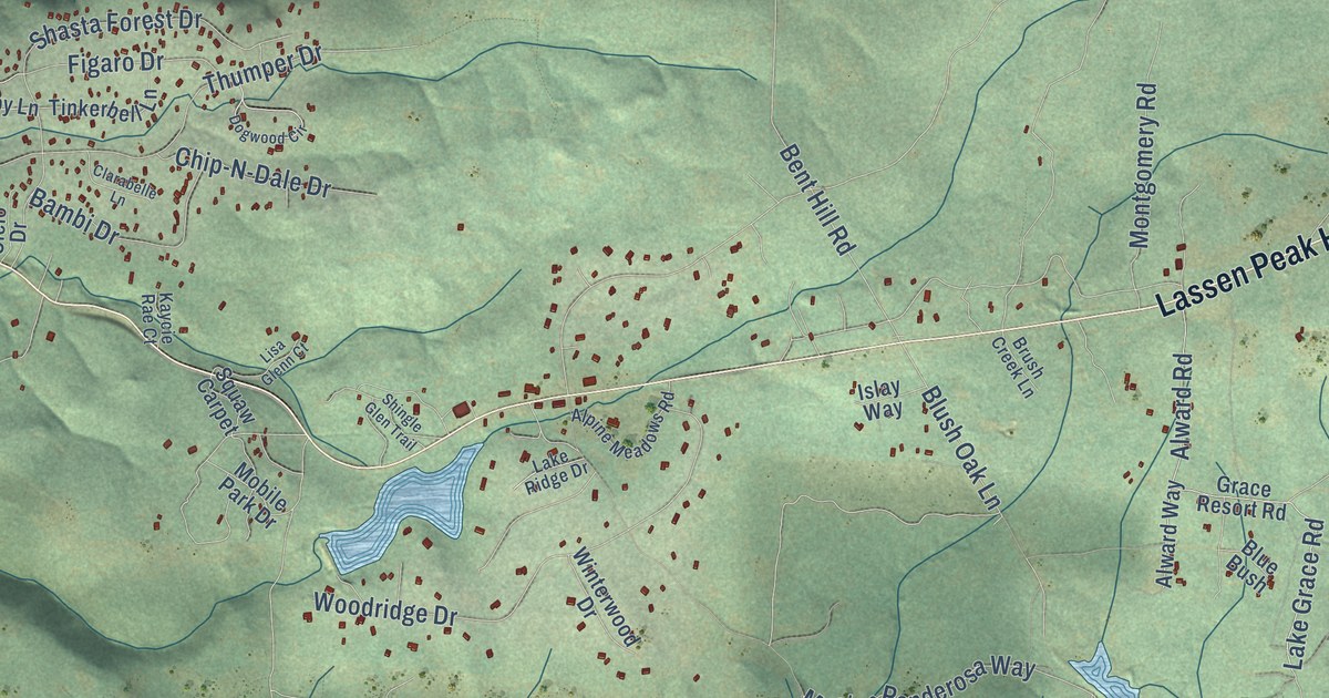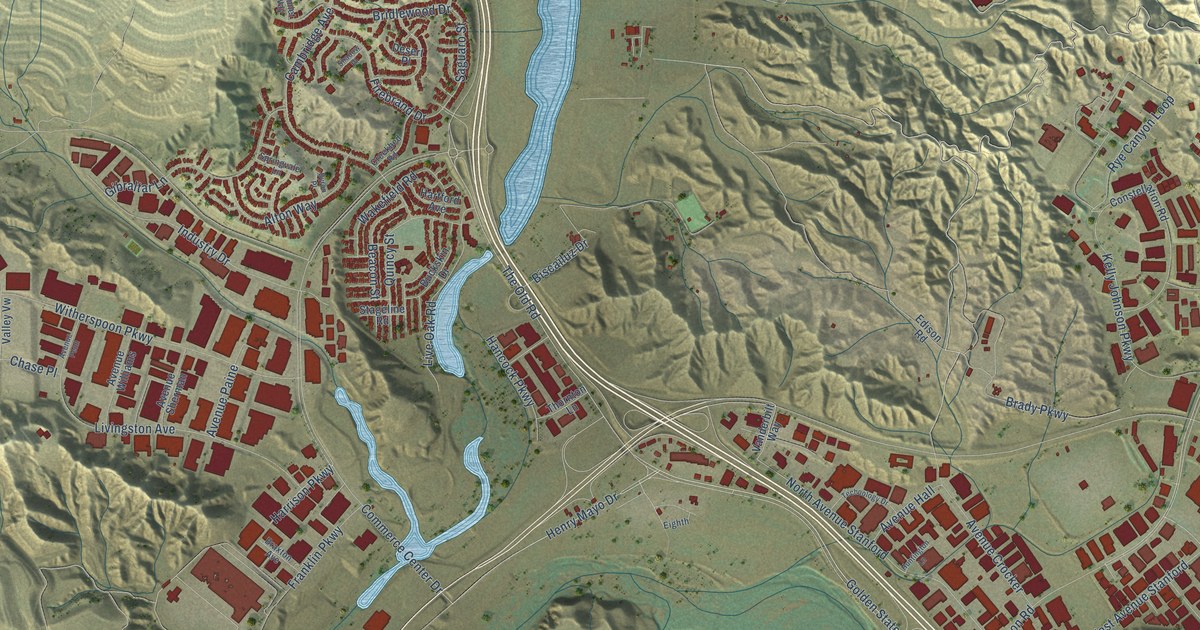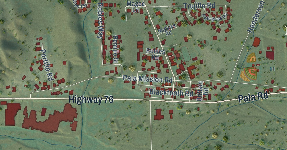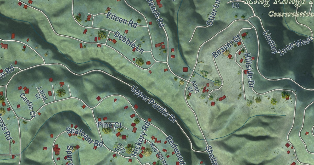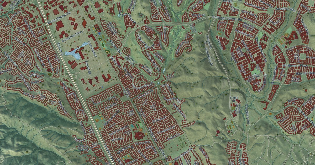
This beautifully detailed map of San Ramon, California was created in 2026 using aerial imagery combined with modern topographical, census, street and landmark data. It’s a one-of-a-kind view of San Ramon that combines accurate data with a vintage aesthetic. The map shows every building in its true location, many of the roads carry their names, and the shaded topographic relief shows the shape of the land.
Explore an aerial view of San Ramon, California
On the map you’ll find Hidden Valley Open Space, Old Ranch Open Space, Corey Place, and Bollinger Cyn, along with Lakeview Drive, Bollinger Canyon Road, Dougherty Road, Crow Canyon Road, Alcosta Boulevard, San Ramon Valley Boulevard, Broadmoor Drive, Windemere Parkway, and more. If you look closely you can even find your house accurately drawn in its correct location. Zoom in on the preview to look for yours.
Did you know this piece of San Ramon, California history?
From the Contra Costa County History: "In 1854 the first school in San Ramon Valley opened its doors in a little house which stood in the northern part of what is now the Kendall property, near the cemetery."
Take a closer look at the San Ramon map
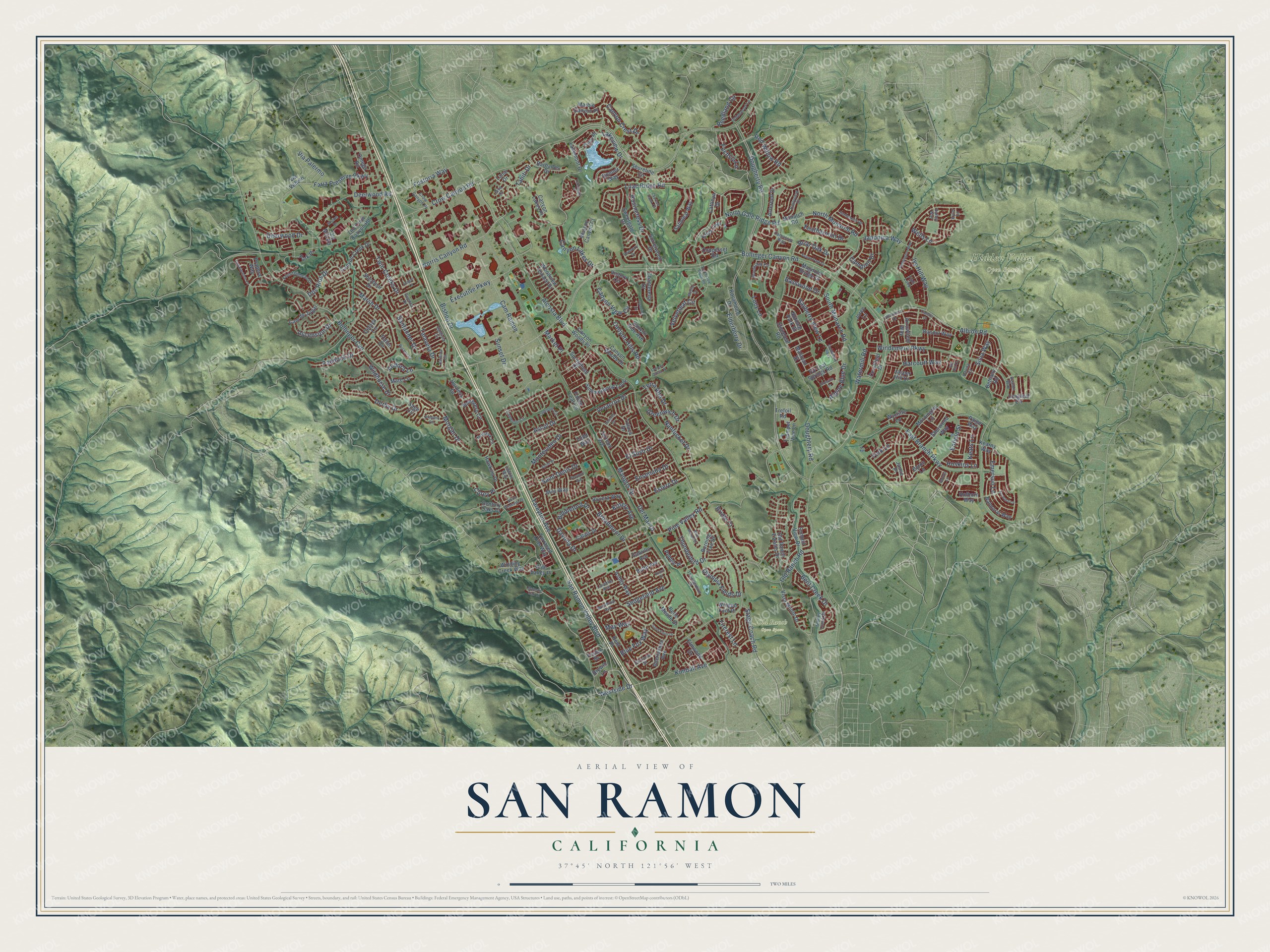
Street and place names on the San Ramon, California map
These names are printed on the map of San Ramon, California.
Places: Hidden Valley Open Space and Old Ranch Open Space.
Streets and roads: Corey Place, Lakeview Drive, Bollinger Canyon Road, Dougherty Road, Crow Canyon Road, Alcosta Boulevard, San Ramon Valley Boulevard, Broadmoor Drive, Bollinger Cyn, Windemere Parkway, Davona Drive, Norris Canyon Road.
More street names, A to Z
Acorn Court, Albion Road, Allanmere Drive, Alpine Blue Drive, Andora Lane, Aptos Drive, Aragon Lane, Arapaho Circle, Arrowfield Way, Ascension Drive, Ascot Drive, Ashby Way, Asterbell Drive, Avalon Way, Bailey Way, Balmoral Way, Bandol Way, Barbados Drive, Barons Lane, Basswood Drive, Bayberry View Lane, Belle Meade Drive, Bent Creek Drive, Bethany Road, Biddleford Drive, Bishop Drive, Blue Fox Way, Blue Mound Drive, Brewin Lane, Briar Oak Drive, Bridle Court, Briza Loop, Brookcliff Circle, Burning Tree Drive, Butte Avenue, Byron Lane, Cabrillo Avenue, Calais Drive, Camassia Way, Cam de Jugar, Cameron Circle, Campion Drive, Cam Ramon, Canyon Creek Drive, Canyon Crest Drive, Canyon Green Place, Canyon Hills Road, Canyon Lakes Drive, Canyon Lakes Place, Canyon Side Avenue, Canyon View Circle, Canyon Woods Drive, Canyon Woods Place, Cardona Circle, Casella Court, Cattleya Drive, Celaya Circle, Century Oaks Court, Chanterella Drive, Cobblestone Lane, Copperset Road, Corrinne Street, Crestfield Drive, Crow Canyon Place, Cuenca Drive, Cypress Hawk Court, Deerwood Drive, Deerwood Road, Del Mar Drive, Derby Drive, Dewberry Drive, Dolores Drive, Donner Way, Dos Rios Drive, Doughtery Road, East Branch Parkway, Echo Place, Elderberry Drive, Elmwood Drive, El Suyo Drive, Emerson Lane, Enfield Street, Ensenada Drive, Estero Drive, Executive Parkway, Fallen Leaf Circle, Faria Preserve Parkway, Feathermint Drive, Fioli Loop, Fircrest Lane, Foster Drive, Fostoria Way, Fountainhead Drive, Fuchsia Lane, Goldenbay Avenue, Goldenrod Lane, Greenwich Drive, Harcourt Way, Harness Drive, Hawkins Drive, Holborn Way, Hollyview Drive, Hoskins Lane, Interlachen Avenue, Ironwood Drive, Ivy Hill Way, Ivy Leaf Springs Road, Jamie Place, Japonica Way, Jasper Hill Drive, Java Drive, Joree Lane, Karina Court, Kearny Way, Keats Lane, Kennard Lane, Kent Place, Kimball Avenue, Kittery Avenue, Kyler Lane, Lakemont Drive, Lakemont Place, Lanai Drive, Laramie Avenue, Lawton Way, Lilac Ridge Road, Lomond Circle, Longleaf Circle, Lucy Lane, Magnolia Bridge Drive, Majestic Oak Court, Malayan Street, Mangos Drive, Marble Canyon Place, Mare Lane, Market Place, Marsh Drive, May Way, Mediar Drive, Milo Way, Mohawk Circle, Monarch Road, Montevideo Drive, Morgan Drive, Mornington Lane, Nantucket Drive, Newport Avenue, North Gale Ridge Road, North Monarch Road, North Westside Drive, Nutmeg Park Street, Old Crow Canyon Road, Old Mill Road, Old Ranch Estates Drive, Old Ranch Road, Olympia Fields Drive, Omega Road, Paddington Way, Paddock Drive, Paige Way, Park Place, Pebble Place, Pine Valley Place, Pine Valley Road, Pradera Way, Red Willow Road, Reedland Circle, Riviera Way, Rosamund Drive, Rosario Court, Rosincress Drive, Sage Circle, Saint Denis Drive, Sand Point Drive, Santander Drive, Satinleaf Way, Saturn Park Drive, Sedgefield Avenue, Sherbear Drive, Sherwood Way, Shoreline Circle, Silk Hill Court, Silva Way, Skyline Drive, Sombrero Circle, Sonsilla Lane, Sorrelwood Drive, South Gale Ridge Road, South Monarch Road, Springfield Drive, Stage Coach Road, Stoneleaf Road, Stoney Creek Drive, Summerwood Loop, Summit View Drive, Sunset Drive, Sweetgate Drive, Tahiti Drive, Talavera Drive, Tareyton Avenue, Teracina Drive, Terra Alta Drive, Terraced Hills Way, Thunderbird Drive, Thunderbird Place, Todd Way, Toltec Circle, Toluca Drive, Torreon Avenue, Trefoil Road, Trumpet Vine Lane, Twin Creeks Drive, Valdivia Circle, Velvetleaf Circle, Veracruz Drive, Via Palermo, Via Veneto, Victory Circle, Vista Monte Drive, Watermill Road, Watson Canyon Court, Wells Lane, Westside Drive, Wildhorse Drive, Winding Creek Way, Winged Foot Place, Winthrop Avenue, Woodview Terrace Drive, Wycliffe Lane, York Lane.
See the San Ramon, California map on a wall
The San Ramon map as an 18 x 24 inch print in a black frame.

This beautifully detailed map of San Ramon makes an attractive addition to your office, library, or den, and it can even be used to teach children the geography and history of the area. It also makes a great gift for anyone who grew up in San Ramon or moved away. When you’re done exploring, click here to get your copy of the San Ramon map.