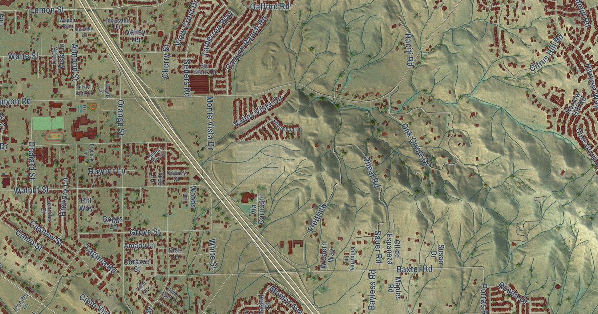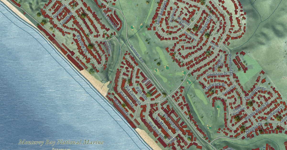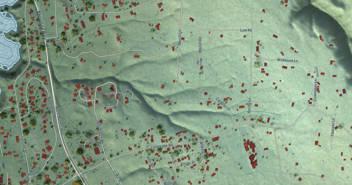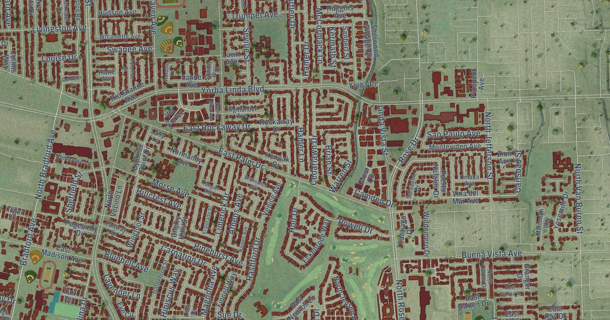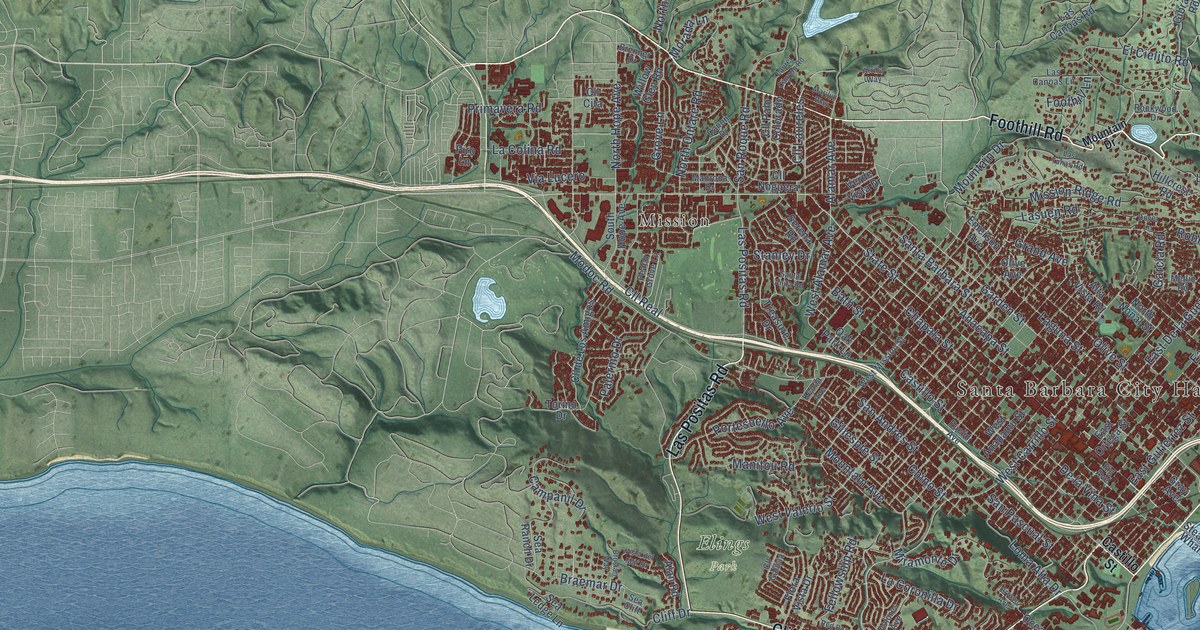
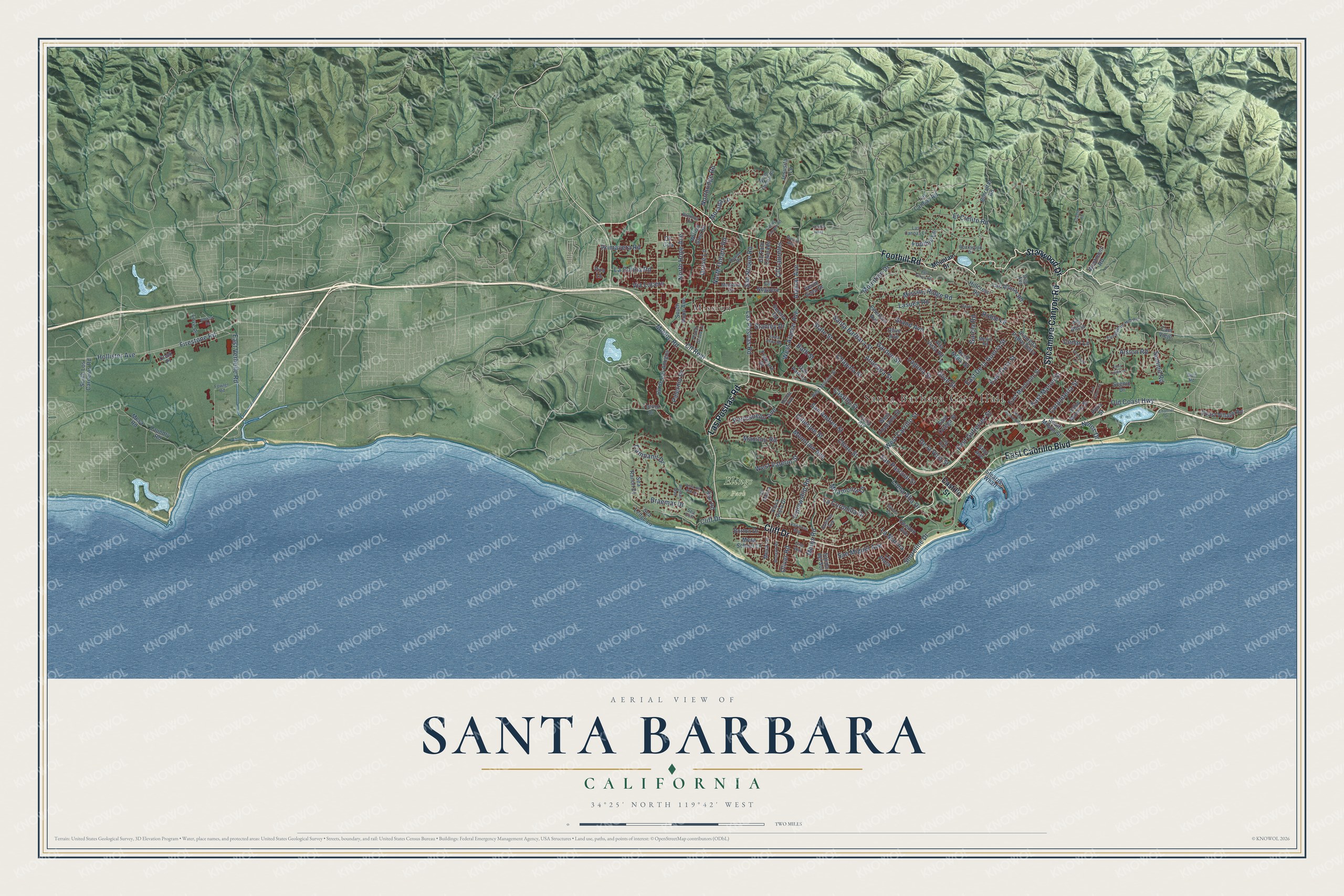
This beautifully detailed map of Santa Barbara, California was created in 2026 using aerial imagery combined with modern topographical, census, street and landmark data. It's a modern aerial view of Santa Barbara in Santa Barbara County, California, that combines modern data with a vintage aesthetic. The roads feature printed names, and if you look closely you can find your exact house accurately shown in its correct location.
Explore an aerial view of Santa Barbara, California
On this map you'll find Santa Barbara City Hall, Elings Park, Mission, Foothill Road, East Cabrillo Boulevard, Sycamore Canyon Road, Stanwood Drive, Cliff Drive, Las Positas Road, State Street, Mountain Drive, Shoreline Drive, and more. Each red shape is a building, so zoom in on the preview and look for yours.
Here is a piece of Santa Barbara history, in the words of the record. The record at ohp.parks.ca.gov puts it this way: "The City of Santa Barbara held its first official meeting here in 1875, the first city hall was erected here, and the area is still center of city's governmental activities."
Santa Barbara is a city in Santa Barbara County. The Census Bureau counted 88,665 people here in 2020.
Take a closer look at the Santa Barbara map
Names on this map
These names are printed on this map.
Places: Santa Barbara City Hall, Elings Park and Mission.
Streets and roads: Foothill Road, East Cabrillo Boulevard, Sycamore Canyon Road, Stanwood Drive, Cliff Drive, Las Positas Road, State Street, Mountain Drive, Shoreline Drive, Firestone Road, Meigs Road, Santa Barbara Street.
More street names, A to Z
Alamar Avenue, Alameda Padre Serra, Alan Road, Alston Road, Alta Vista Road, Anacapa Street, Arriba Way, Arroyo Avenue, Bath Street, Borton Drive, Botello Road, Braemar Drive, Brenner Drive, Brosian Way, Cam Alto, Campanil Drive, Cam Viejo, Canon Drive, Carpinteria Street, Castillo Street, Cedar Lane, Channel Drive, Chapala Street, Chino Street, Cima Linda Lane, Cll Cita, Cll de Los Amigos, Cll Galicia, Cll Laureles, Cll Noguera, Cll Palo Colorado, Cll Real, Coast Village Road, Cook Place, Coyote Road, De la Vina Street, Dolores Avenue, Dover Lane, East Cota Street, East De la Guerra Street, East Gutierrez Street, East Mason Street, East Montecito Street, East Ortega Street, East Verhelle Road, El Cielito Road, Elise Way, Emerson Avenue, Eucalyptus Hill Road, Euclid Avenue, Fellowship Road, Fig Avenue, Flora Vista Drive, Foothill Lane, Fowler Road, Garcia Road, Garden Street, Gibraltar Road, Gillespie Street, Golf Road, Grand Avenue, Gray Avenue, Grove Lane, Hillcrest Road, Hollister Avenue, Indio Muerto Street, Jesusita Lane, Kentia Avenue, La Colina Road, La Coronilla Drive, Laguna Street, La Marina, La Plata, Las Alturas Road, Las Canoas Lane, Las Canoas Road, Las Tunas Road, Lasuen Road, Laundry Road, Laurel Canyon Road, Loma Alta Drive, Lou Dillon Lane, Love Place, Madrona Drive, Manitou Road, Marilyn Way, Medio Road, Mesa Lane, Mesa Road, Mesa School Lane, Miramonte Drive, Mission Ridge Road, Modoc Road, Mohawk Road, Morada Lane, Mountain Avenue, Ninos Drive, North Hope Avenue, North Nopal Street, North Ontara Road, North Ontare Road, North Quarantina Street, Northridge Road, Oak Park Lane, Oceano Avenue, Old Coast Highway, Olive Avenue, Oliver Road, Olive Street, Overlook Lane, Palermo Drive, Peach Grove Lane, Piro Lane, Pitos Street, Portesuello Avenue, Primavera Road, Red Rose Way, Roble Lane, Rockwood Drive, Salida del Sol, San Andres Street, San Miguel Avenue, San Pascual Street, San Roque Road, Santa Anita Road, Scenic Drive, Sea Cliff, Sea Ledge Lane, Sea Ranch Drive, Serena Road, South Hope Avenue, South Los Carneros Road, South Milpas Street, Stanley Drive, Stearns Wharf, Summit Road, Torino Drive, Treasure Drive, Verde Vista Drive, Via Alicia, Via Lucero, Vista del Mar Drive, West Alamar Avenue, West Anapamu Street, West Carrillo Street, West Mission Street, Westmont Road, West Valerio Street, Willow Glen Road.
Created by KNOWOL in 2026. The buildings are small red shapes, the roads carry their printed names, and shaded relief shows the shape of the land. The title panel reads "AERIAL VIEW OF SANTA BARBARA CALIFORNIA" with 34°25' NORTH 119°42' WEST.
It suits a den, a classroom or a front hall, and it makes a gift for anyone with Santa Barbara roots. Open the preview and find the block you know. See sizes and frames for the Santa Barbara map.