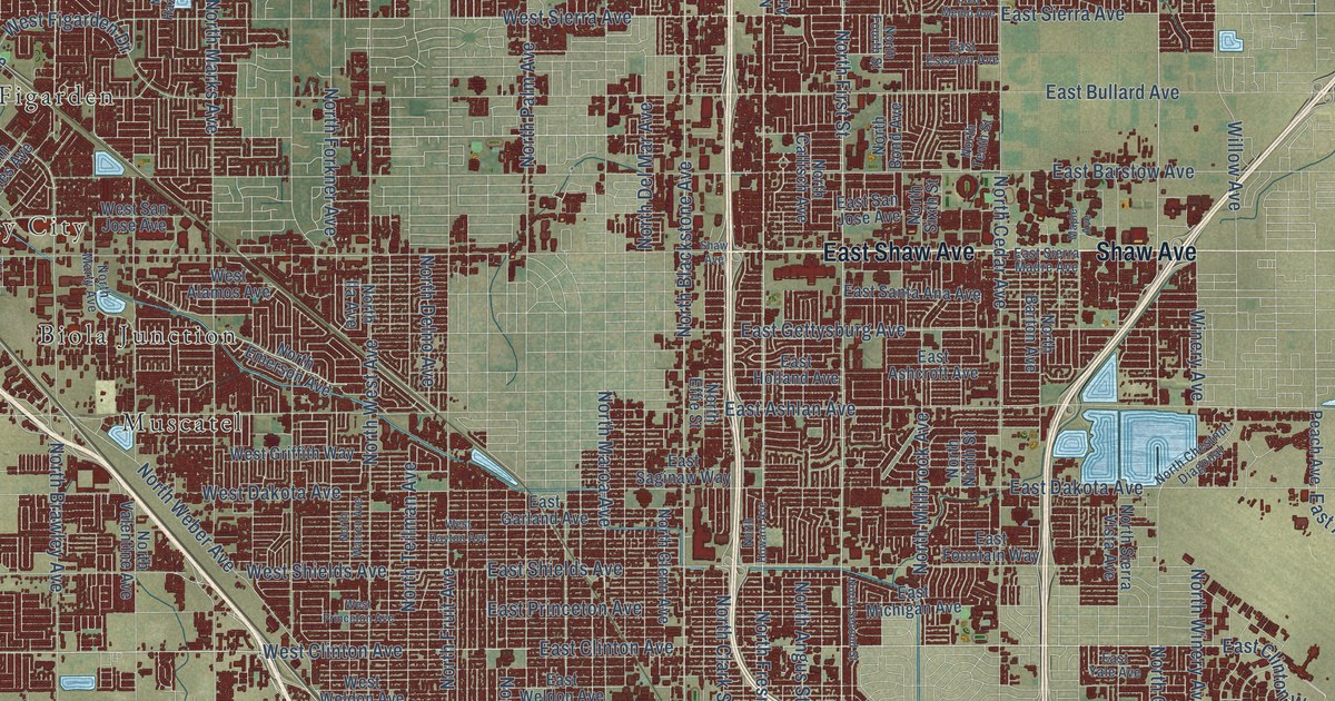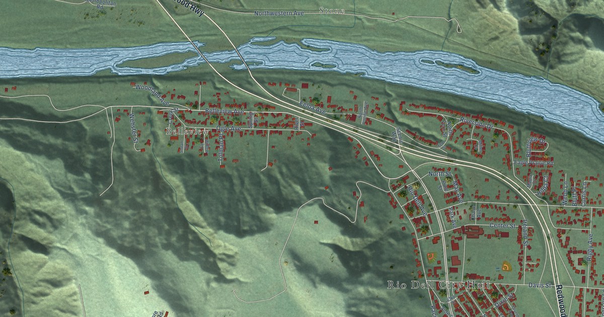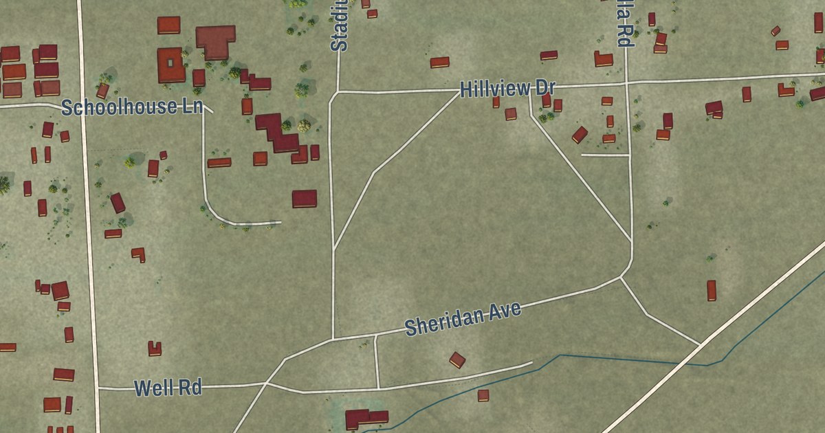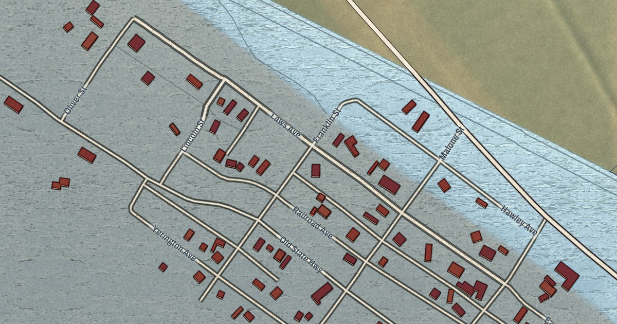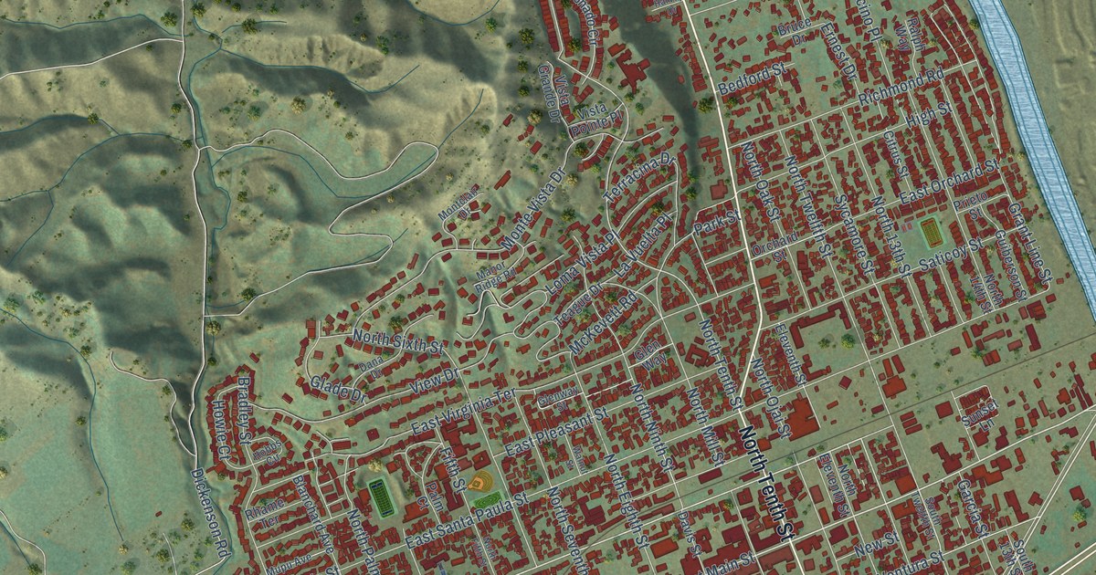
This beautifully detailed map of Santa Paula, California was created in 2026 using aerial imagery combined with modern topographical, census, street and landmark data. It’s a one-of-a-kind view of Santa Paula that combines accurate data with a vintage aesthetic. The map shows every building in its true location, many of the roads carry their names, and the shaded topographic relief shows the shape of the land.
Explore an aerial view of Santa Paula, California
On the map you’ll find Santa Paula City Hall, Kevet, Creek Sports Park, and Santa Paula Fwy, along with North Ojai Road, South Tenth Street, North Tenth Street, East Harvard Boulevard, West Harvard Boulevard, East Main Street, Acacia Road, Main Street, and more. If you look closely you can even find your house accurately drawn in its correct location. Zoom in on the preview to look for yours.
Did you know this piece of Santa Paula, California history?
From Ohp.parks.ca.gov: "In 1950 the Union Oil Museum was established and in 1990, for its Centennial Celebration, the building was restored to its original appearance and reopened as a new state-of-the-art oil museum."
Take a closer look at the Santa Paula map
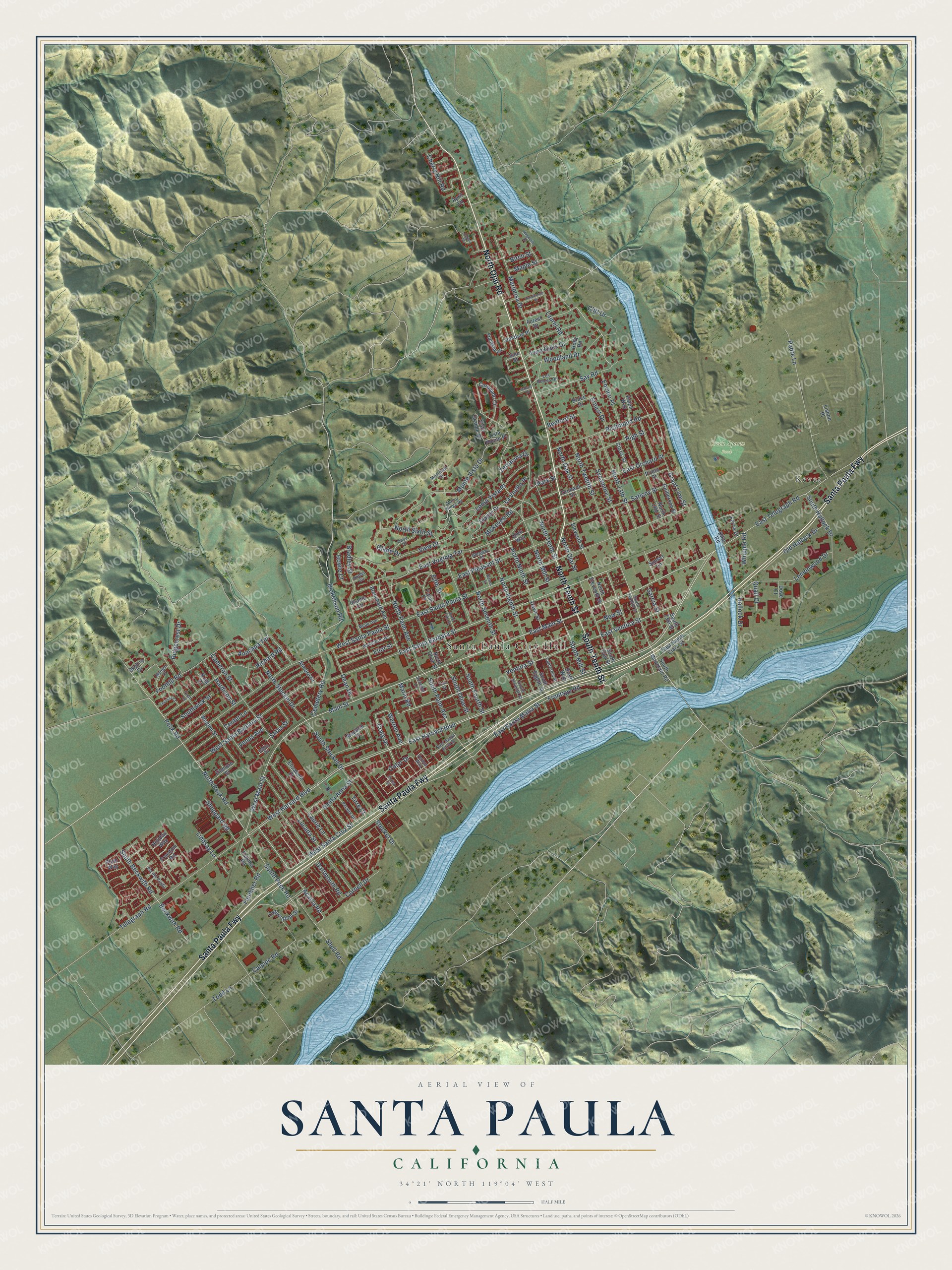
Street and place names on the Santa Paula, California map
These names are printed on the map of Santa Paula, California.
Places: Santa Paula City Hall, Kevet and Creek Sports Park.
Streets and roads: North Ojai Road, Santa Paula Fwy, South Tenth Street, North Tenth Street, East Harvard Boulevard, West Harvard Boulevard, East Main Street, Acacia Road, Main Street, West Santa Cruz Street, East Santa Barbara Street, East Ventura Street.
More street names, A to Z
Anacapa Terrace, April Lane, Atmore Drive, Bahia Circle, Beckwith Road, Bedford Street, Birch Street, Blanchard Avenue, Bradley Street, Brett Way, Bruce Drive, California Street, Calpipe Road, Cameron Street, Cedar Street, Cemetery Road, Center Lane, Cherry Hill Road, Citrus Street, Cliff Drive, Cornell Drive, Coronado Circle, Corporation Street, Craig Drive, Dana Drive, Dartmouth Road, Davis Street, Dean Drive, Dickenson Road, Dike Road, Dove Court, East Orchard Street, East Pleasant Street, East Santa Anna Street, East Santa Clara Street, East Santa Maria Street, East Santa Paula Street, East Telegraph Road, East Virginia Terrace, Eleventh Street, Eliot Street, Elizabeth Court, Eloisa Street, Encino Place, Ernest Drive, Faulkner Road, Felkins Road, Fern Oaks Drive, Ferris Drive, Fifth Street, Fillmore Street, Foothill Road, Forest Drive, Freedom Road, Frontage Road, Fuchsia Lane, Garcia Street, Glade Drive, Glen Way, Glenway Street, Grant Line Street, Guiberson Street, Hallock Drive, Hardison Street, Harvey Drive, Hawthorne Street, High Street, Hobbs Circle, Holiday Way, Holly Road, Howie Court, June Street, King Court, Laurel Road, Laurie Lane, La Vuelta Place, Leavens Court, Lemonwood Drive, Lindsay Lane, Lisbon Place, Loma Vista Place, Los Robles Drive, Lucada Street, Magnolia Drive, Manor Ridge Road, Maple Street, Marin Road, Mariposa Drive, McKevett Road, Montclair Drive, Monte Vista Drive, Moultrie Place, Munger Drive, Mupu Avenue, New Street, North 13th Street, North 14th Street, North Eighth Street, North Eleventh Street, North Fifth Street, North Mill Street, North Ninth Street, North Oak Street, North Ojai Street, North Olive Street, North Palm Avenue, North Peck Road, North Seventh Street, North Sixth Street, North Steckel Drive, North Twelfth Street, Oakdale Place, Old Hallock Drive, Orchard Street, Outer Drive, Padre Lane, Palm Court, Park Street, Peck Road, Peralta Drive, Plum Way, Prieto Street, Quail Court, Ralph Way, Rhame Terrace, Richard Road, Richmond Road, Ridgecrest Drive, Salas Street, Santa Anna Street, Saticoy Street, Say Road, Shell Road, Sheppard Road, Skyline Drive, Sonoma Lane, South 13th Street, South Beckwith Road, South Eighth Street, South Fourth Street, South Hallock Drive, South Mill Street, South Mountain Road, South Ojai Street, South Olive Street, South Palm Avenue, South Peck Road, South Seventh Street, South Steckel Drive, South Twelfth Street, Southwick Street, Steckel Drive, Sunset Lane, Sycamore Street, Teague Drive, Telegraph Road, Terracina Drive, Tirre Court, Todd Lane, Trent Lane, Ventura Street, Venus Avenue, Vernon Way, Via del Prado, View Drive, Vista Grande Drive, Vista Pointe Place, Wakeford Avenue, Walden Street, Walnut Street, Warren Avenue, West Main Street, West Santa Barbara Street, West Santa Paula Street, Whipple Road, Woodland Drive, Yale Street.
See the Santa Paula, California map on a wall
The Santa Paula map as an 18 x 24 inch print in a black frame.

This beautifully detailed map of Santa Paula makes an attractive addition to your office, library, or den, and it can even be used to teach children the geography and history of the area. It also makes a great gift for anyone who grew up in Santa Paula or moved away. When you’re done exploring, click here to get your copy of the Santa Paula map.