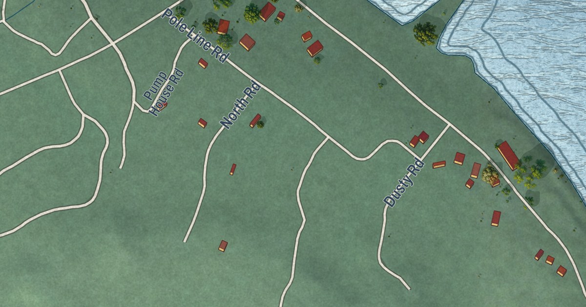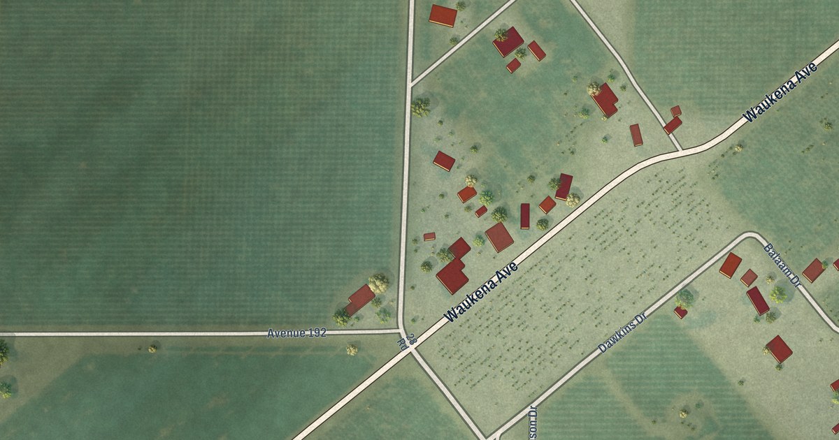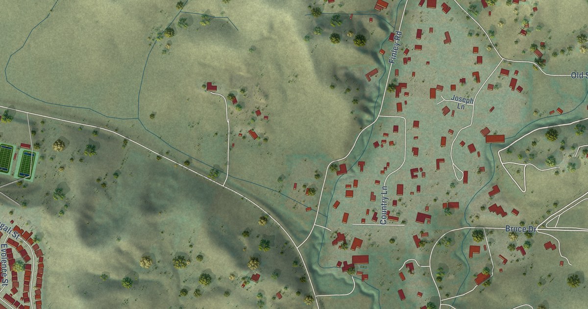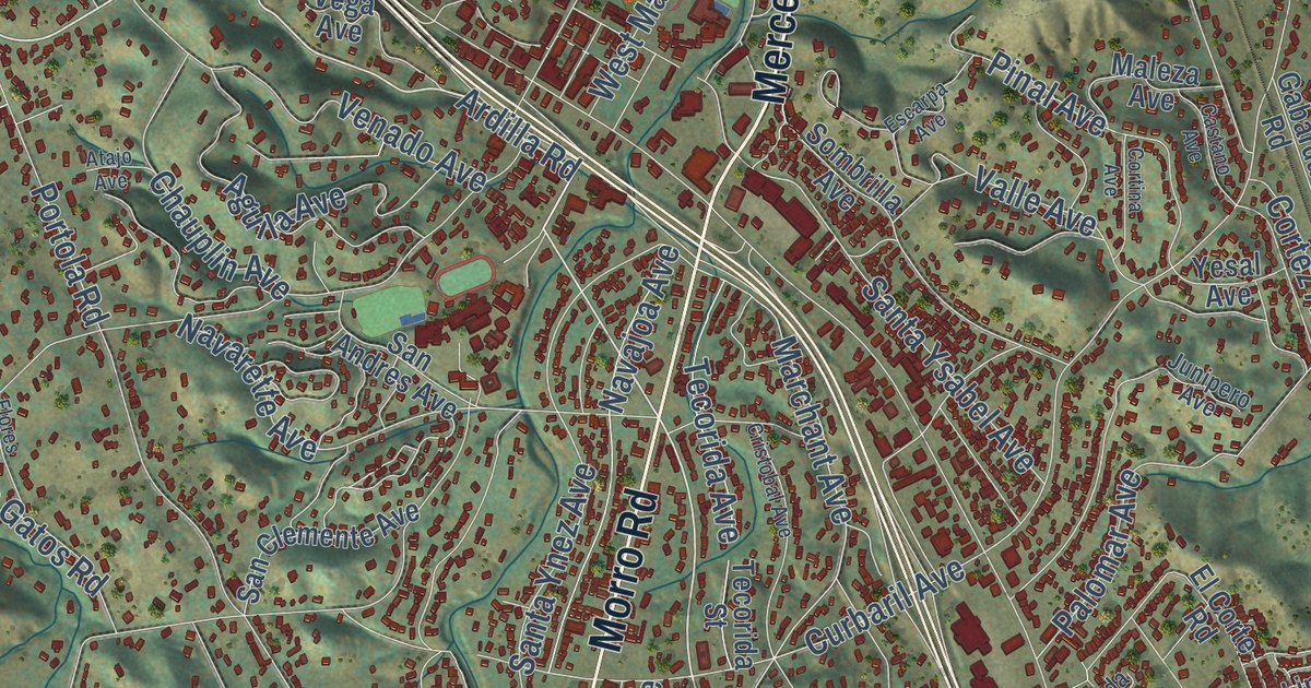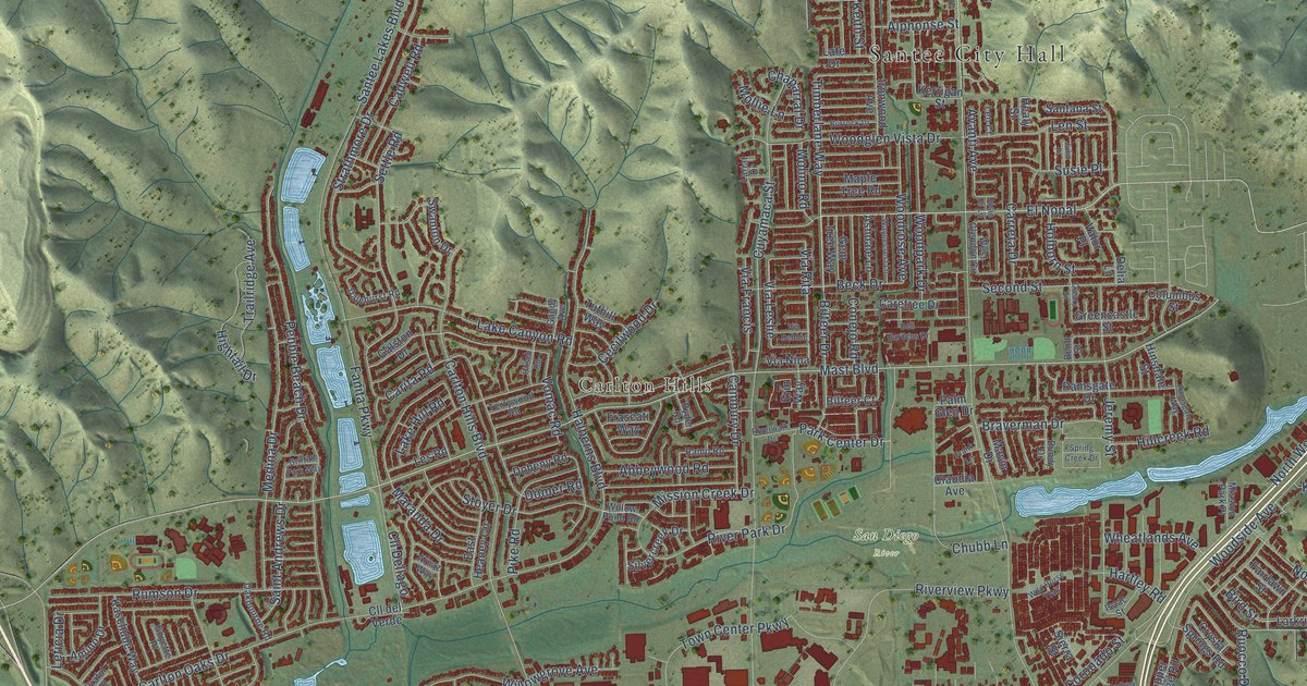
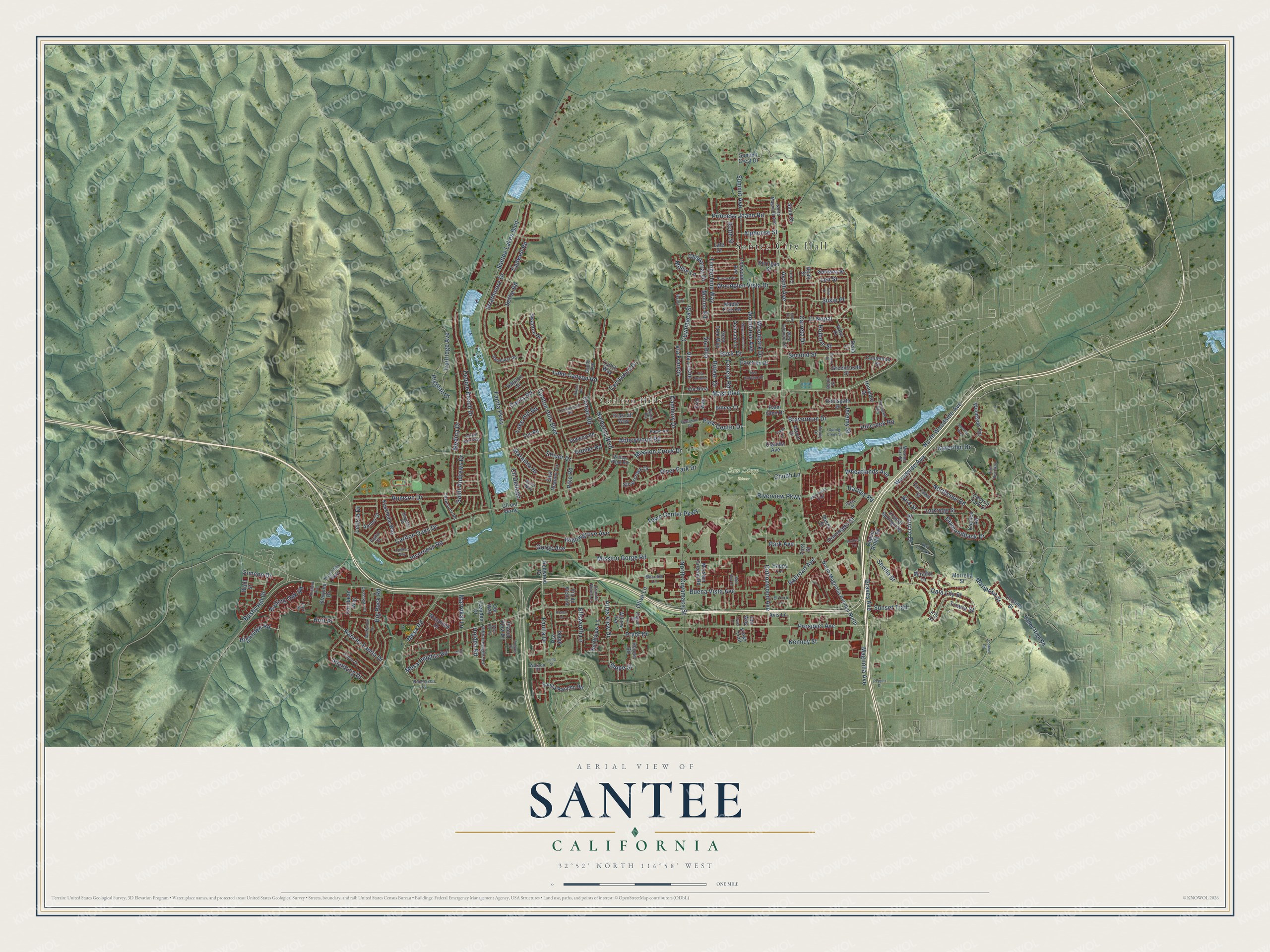
This beautifully detailed map of Santee, California was created in 2026 using aerial imagery combined with modern topographical, census, street and landmark data. It’s a one-of-a-kind view of Santee that combines accurate data with a vintage aesthetic. The map shows every building in its true location, many of the roads carry their names, and the shaded topographic relief shows the shape of the land.
Explore an aerial view of Santee, California
On the map you’ll find Santee City Hall, Carlton Hills, San Diego River, El Nopal, Via Rita, and Via Leslie, along with Timberlane Way, Mast Boulevard, Mission Gorge Road, Magnolia Avenue, Prospect Avenue, Carlton Oaks Drive, and more. If you look closely you can even find your house accurately drawn in its correct location. Zoom in on the preview to look for yours.
Did you know this piece of Santee, California history?
From the National Park Service: "Santee was a terminal for the railway and a rallying point for the surrounding country, especially since it was located near the San Diego River."
Take a closer look at the Santee map
Street and place names on the Santee, California map
These names are printed on the map of Santee, California.
Places: Santee City Hall, Carlton Hills and San Diego River.
Streets and roads: El Nopal, Timberlane Way, Mast Boulevard, Via Rita, Via Leslie, Mission Gorge Road, Magnolia Avenue, Prospect Avenue, Carlton Oaks Drive, North Cuyamaca Street, Fanita Parkway, Carlton Hills Boulevard.
More street names, A to Z
Abbeywood Road, Alphonse Street, Amino Drive, Andrea Terrace, Argent Street, Arnaz Way, Ashdale Lane, Atlas View Drive, Avanti Avenue, Avis Lane, Beck Drive, Bell Collo Lane, Bell Gardens Drive, Bend Street, Big Rock Road, Bilteer Court, Bilteer Drive, Bird Street, Blue Boy Lane, Braverman Drive, Britt Place, Buena Vista Avenue, Bundy Drive, Burrock Drive, Bushy Hill Drive, Cadwell Road, Cala Lily Street, Cambury Drive, Camden Drive, Canyon Park Drive, Carefree Drive, Carita Road, Carreta Drive, Carribean Way, Cecilwood Drive, Chaparral Drive, Chubb Lane, Claudia Avenue, Cleary Street, Clifford Heights Road, Cll Dellago, Cll del Verde, Columbus Street, Conejo Road, Copper Ridge Road, Coronado Street, Cottonwood Avenue, Crossway Court, Crystal Springs Road, Cuyamaca Street, Dalehurst Road, Delia Lane, Diamondback Drive, Dobyns Drive, Doheny Road, Domer Road, Dove Hill Drive, East Heaney Circle, Ellsworth Lane, El Toro Lane, Erin Way, Fairlawn Street, Fanita Drive, Fanita Rancho Road, First Street, Frank Lane, Frascati Way, Galston Drive, Gandy Avenue, Gem Tree Way, Gorge Avenue, Goyette Place, Granite House Lane, Graves Avenue, Greencastle Street, Griffith Park Way, Halberns Boulevard, Happy Lane, Hartley Road, Healy Street, Highridge Road, High Rise Way, Hightail Drive, Hillcreek Road, Hinsdale Street, Hirsch Road, Holborn Street, Holden Road, Honey Lane, Ian Way, Inverness Road, Iris Street, Ironwood Avenue, Isaac Street, Jeremy Street, Josie Jo Lane, Julio Place, Karerllyn Drive, Kaschube Way, Keith Street, Kenney Street, Kerrigan Street, Kingbird Avenue, Kings Trail, Koonce Road, Lafe Drive, Lake Canyon Road, Lake Hill Road, Lariat Drive, Larkridge Street, Lark Street, Len Court, Len Street, Les Road, Leticia Drive, Lomker Way, Louis Lane, Lund Street, Maccool Lane, Maple Tree Road, Maranda Drive, Mariposa Street, Marrokal Lane, Matterhorn Drive, Mavin Drive, Medina Drive, Mesa Heights Road, Mesa Road, Mirador Lane, Mission Creek Drive, Mission Greens Road, Mission Park Place, Molino Road, Mollie Lane, Morrella Street, Northcote Road, North Magnolia Avenue, North Magnolia Avenue North, Northview Lane, North Woodside Avenue, Oakbourne Road, Oconnell Road, Ocotillo Street, Olive Lane, Our Way, Palm Glen Drive, Park Avenue, Park Center Drive, Pebble Beach Drive, Pepper Drive, Pike Road, Placid View Drive, Poplin Drive, Praful Court, Princess Joann Road, Pryor Drive, Pso Ladera, Railroad Avenue, Ramhaven Lane, Ramo Road, Ramsgate Drive, Ramsgate Way, Rancho Fanita Drive, Redwood Drive, Rhone Road, River Park Drive, Riverview Parkway, Riverwalk Drive, Rolling Oak Road, Rumson Drive, Ruocco Drive, Ryder Road, Saint Andrews Drive, Santana Street, Santee Lakes Boulevard, Second Street, Security Way, Settle Road, Sevilla Street, Shantung Drive, Sierra Street, Silvercreek Drive, Sima Court, Simeon Drive, Slope Street, Spring Creek Drive, Starpine Drive, Stoyer Drive, Strathmore Drive, Summit Avenue, Summit Crest Drive, Sunset Trail, Susie Place, Swanton Drive, Terrywood Road, Town Center Parkway, Trailridge Avenue, Triana Street, Tuthill Way, Tyler Street, Valley High Road, Valor Place, Via Debbie, Via de Victoria, Via Francis, Via Nina, Vomac Road, Wahl Street, Watson Place, Waynecrest Lane, West Glendon Circle, West Hills Parkway, Wheatlands Avenue, Wild Horse Trail, Willowgrove Avenue, Willow Pond Road, Willow Terrace, Woodglen Vista Drive, Woodpark Drive, Woodrose Avenue, Woodside Avenue, Woodside Terrace, Woodvale Drive.
See the Santee, California map on a wall
The Santee map as an 18 x 24 inch print in a black frame.

This beautifully detailed map of Santee makes an attractive addition to your office, library, or den, and it can even be used to teach children the geography and history of the area. It also makes a great gift for anyone with Santee roots. When you’re done exploring, click here to get your copy of the Santee map.