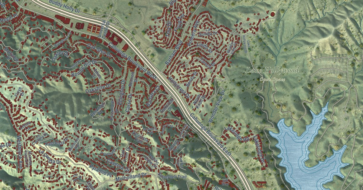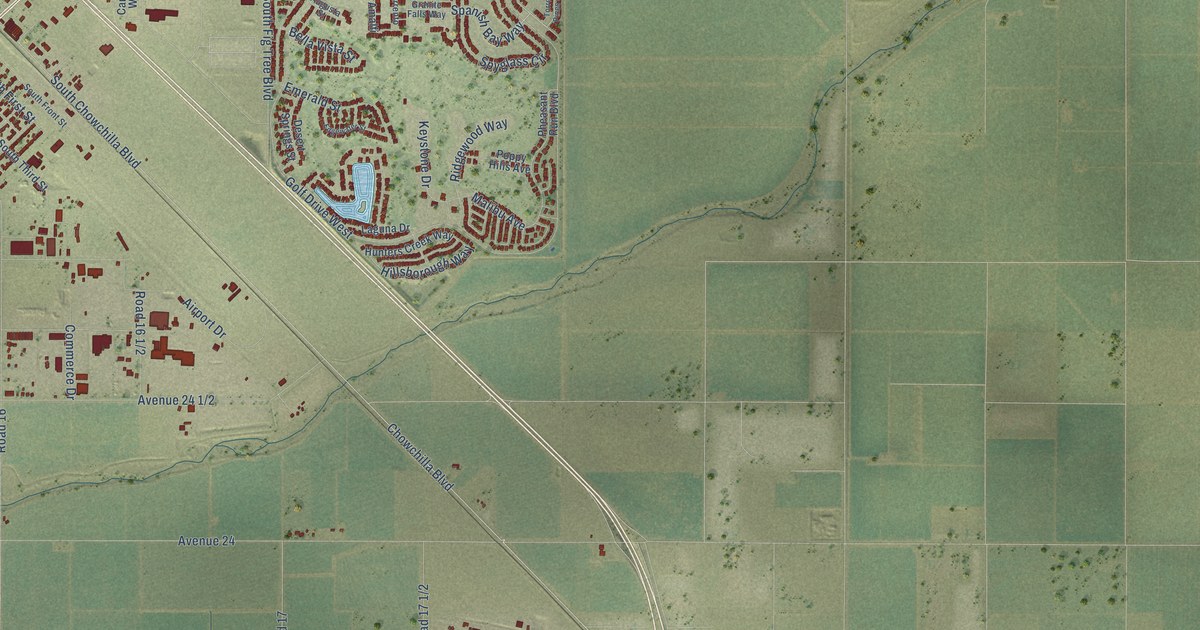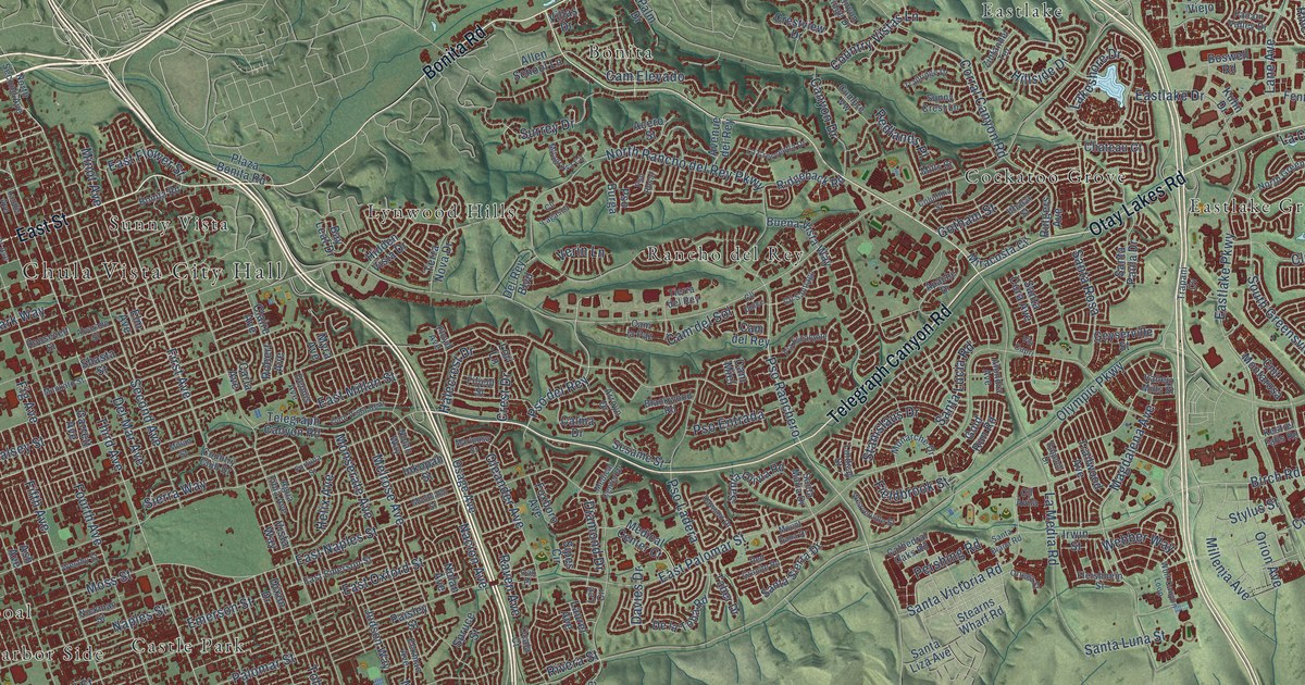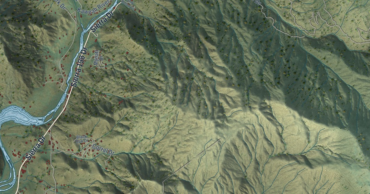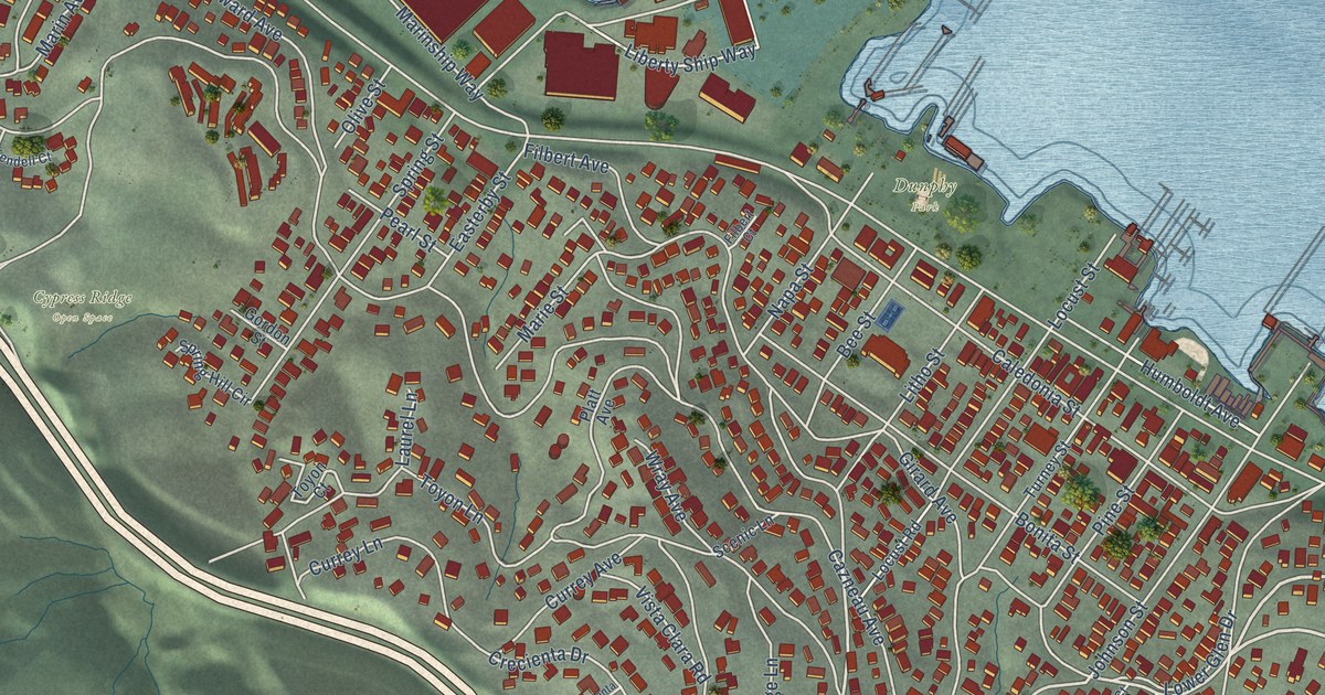
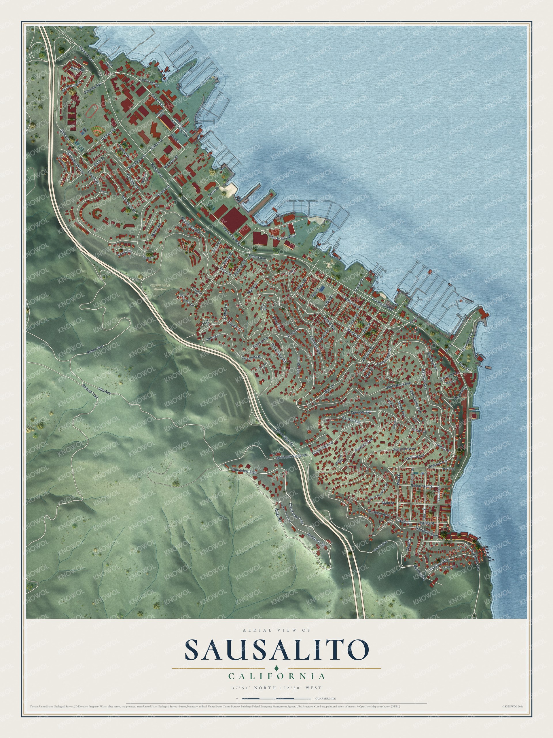
This beautifully detailed map of Sausalito, California was created in 2026 using aerial imagery combined with modern topographical, census, street and landmark data. It's a modern aerial view of Sausalito in Marin County, California, that combines modern data with a vintage aesthetic. The roads feature printed names, and if you look closely you can find your exact house accurately shown in its correct location.
Explore an aerial view of Sausalito, California
On this map you'll find Cypress Ridge Open Space, Dunphy Park, Waldo, Central Avenue, Humboldt Avenue, West Court, Park Street, West Street, Noble Lane, Cloudview Trail, Bulkley Avenue, Harrison Avenue, and more. Each red shape is a building, so zoom in on the preview and look for yours.
Here is a piece of Sausalito history, in the words of the record. The National Register of Historic Places puts it this way: "It survived the disastrous Sausalito fire of 1919 as well
as the impact of suburban development following the construction of the
Golden Gate bridge."
Sausalito is a city in Marin County. The Census Bureau counted 7,269 people here in 2020.
Take a closer look at the Sausalito map
Names on this map
These names are printed on this map.
Places: Cypress Ridge Open Space, Dunphy Park and Waldo.
Streets and roads: Central Avenue, Humboldt Avenue, West Court, Park Street, West Street, Noble Lane, Cloudview Trail, Bulkley Avenue, Harrison Avenue, Atwood Avenue, Third Street, Alexander Avenue.
More street names, A to Z
Alta Avenue, Anchorage Road, Arana Circle, Bay Street, Bee Street, Bobcat Trail, Bonita Street, Booker Avenue, Bridgeway, Buchanan Drive, Butte Street, Caledonia Street, Cazneau Avenue, Channing Way, Cloud View Road, Cloud View Trail, Coloma Street, Cooper Lane, Crecienta Drive, Crecienta Lane, Crescent Avenue, Currey Avenue, Currey Lane, Cypress Place, Easterby Street, Ebbtide Avenue, Edwards Avenue, Ensign Street, Excelsior Lane, Filbert Avenue, Filbert Court, Fourth Street, Gate 5 Road, George Lane, Girard Avenue, Glen Court, Glen Drive, Gordon Street, Harbor Drive, Heath Way, Hecht Avenue, Hi Vista Road, Johnson Street, Kendell Court, Laurel Lane, Liberty Ship Way, Lincoln Drive, Litho Street, Locust Road, Locust Street, Lower Crescent Avenue, Lower Glen Drive, Main Dock, Main Street, Marie Street, Marin Avenue, Marinship Way, Marion Avenue, Miller Avenue, Miller Lane, Monte Mar Drive, Napa Street, Nevada Street, North Street, Olima Street, Olive Street, Pearl Street, Pine Street, Platt Avenue, Princess Street, Prospect Avenue, Reade Lane, Richardson Street, Ridge Road, Road 3, Rodeo Avenue, Rose Court, Ross Road, Sacramento Avenue, San Carlos Avenue, Santa Rosa Avenue, Sausalito Boulevard, Scenic Lane, Second Street, South Street, Spencer Avenue, Spencer Court, Spinnaker Drive, Spring Hill Circle, Spring Street, Stanford Way, Sunshine Avenue, Sweet Briar Lane, Testa Street, Tomales Street, Toyon Court, Toyon Lane, Turney Street, Valley Street, Varda Landing, Vista Clara Road, Waldo Point, Waldo Point Harbor Gate 5 Road, Wateree Street, West Harbor Drive, William Court, Willow Lane, Wolfback Ridge Road, Wolfback Terrace, Wolfback Terrace Road, Woodward Avenue, Wray Avenue.
Created by KNOWOL in 2026. The buildings are small red shapes, the roads carry their printed names, and shaded relief shows the shape of the land. The title panel reads "AERIAL VIEW OF SAUSALITO CALIFORNIA" with 37°51' NORTH 122°30' WEST.
It suits a den, a classroom or a front hall, and it makes a gift for anyone with Sausalito roots. Open the preview and find the block you know. See sizes and frames for the Sausalito map.