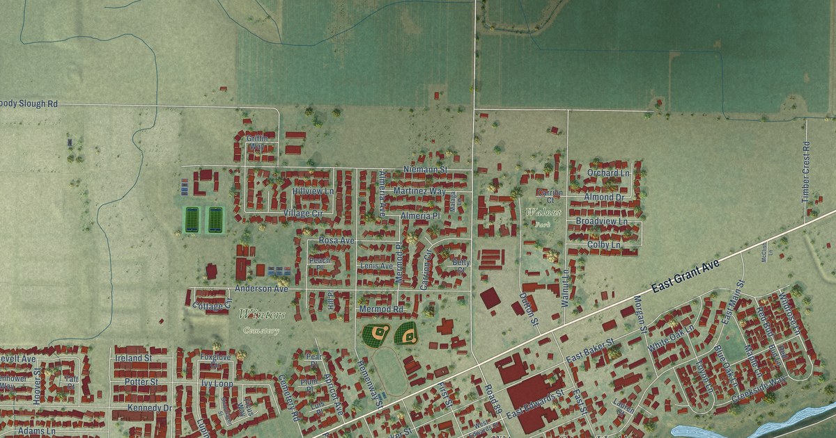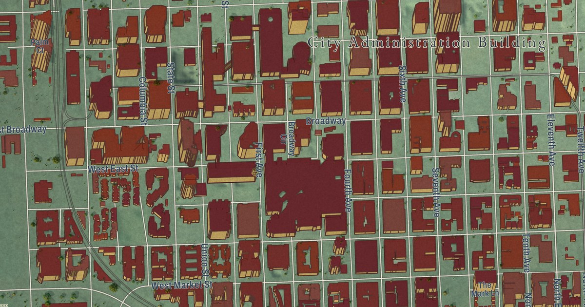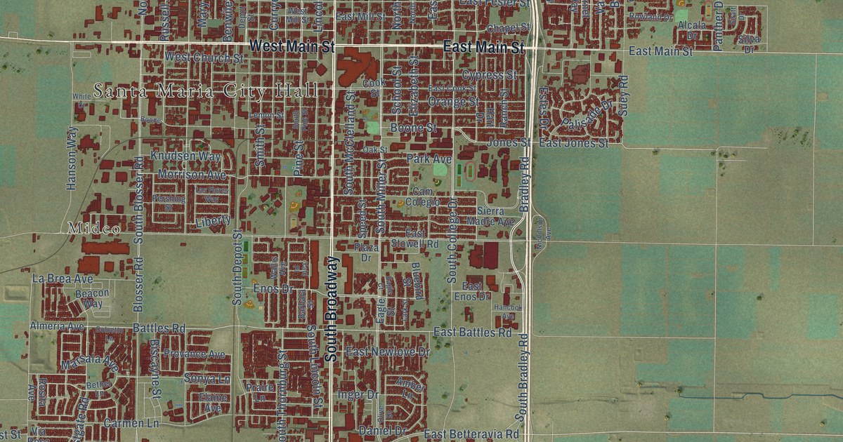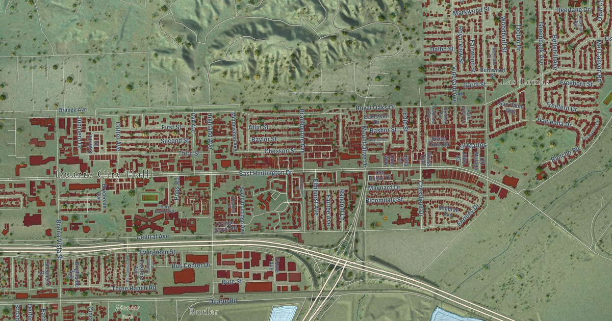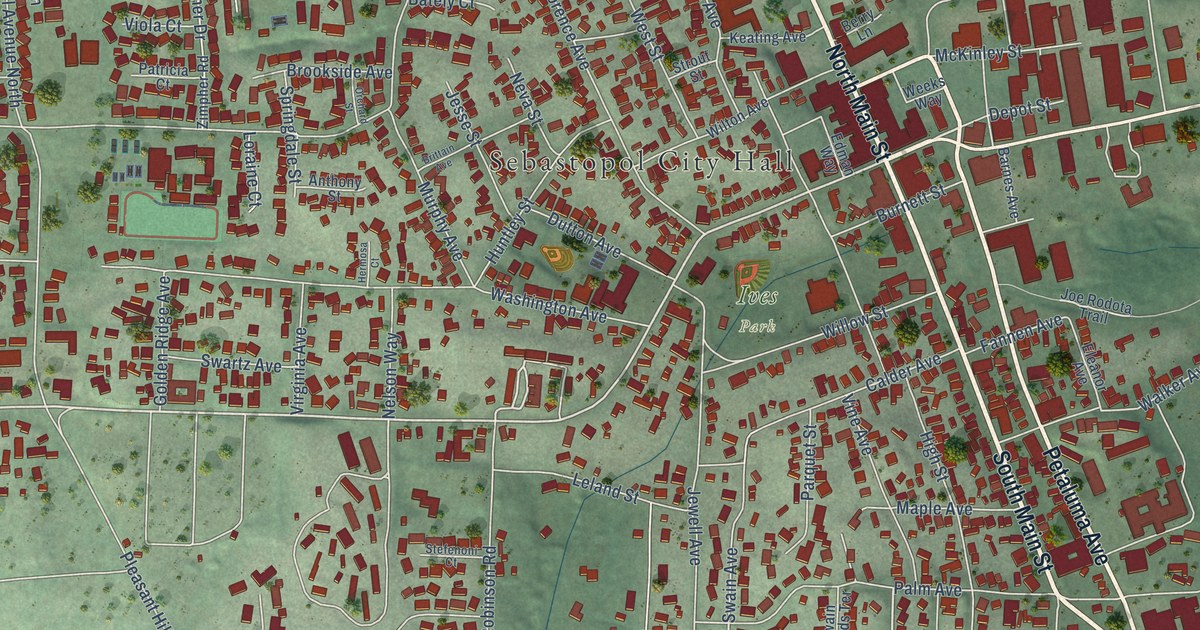
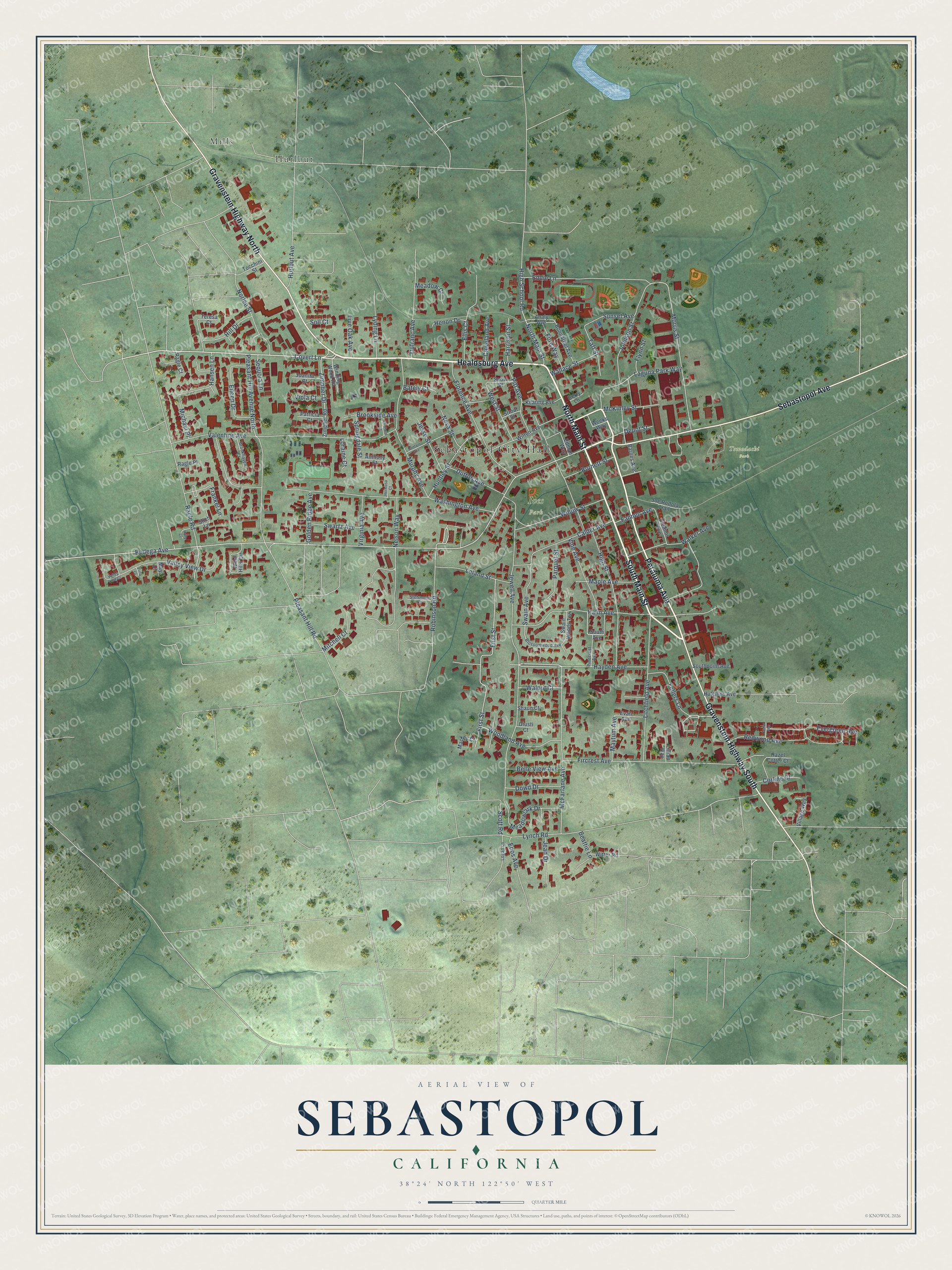
This beautifully detailed map of Sebastopol, California was created in 2026 using aerial imagery combined with modern topographical, census, street and landmark data. It's a modern aerial view of Sebastopol in Sonoma County, California, that combines modern data with a vintage aesthetic. The roads feature printed names, and if you look closely you can find your exact house accurately shown in its correct location.
Explore an aerial view of Sebastopol, California
On this map you'll find Sebastopol City Hall, Tomodachi Park, Ives Park, Hurlbut, Mills, South Main Street, Healdsburg Avenue, North Main Street, Gravenstein Highway South, Petaluma Avenue, Gravenstein Highway North, Sebastopol Avenue, and more. Each red shape is a building, so zoom in on the preview and look for yours.
Here is a piece of Sebastopol history, in the words of the record. The National Register of Historic Places puts it this way: "The Sebastopol Depot
Built in 1917 and 1918 to replace a smaller wooden depot, the Sebastopol Depot played a key role in local
transportation until the end of the P&SR's passenger service in 1932."
Sebastopol is a city in Sonoma County. The Census Bureau counted 7,521 people here in 2020.
Take a closer look at the Sebastopol map
Names on this map
These names are printed on this map.
Places: Sebastopol City Hall, Tomodachi Park, Ives Park, Hurlbut and Mills.
Streets and roads: South Main Street, Healdsburg Avenue, North Main Street, Gravenstein Highway South, Petaluma Avenue, Gravenstein Highway North, Sebastopol Avenue, Covert Lane, Bodega Avenue, Fellers Lane, Hayden Avenue, Frankel Lane.
More street names, A to Z
Analy Avenue, Anthony Street, Barnes Avenue, Bately Court, Beattie Lane, Belle View Avenue, Berry Lane, Blossomwood Avenue, Bonnardel Avenue, Brittain Avenue, Brookhaven Court, Brookside Avenue, Burnett Street, Calder Avenue, Cedar Avenue, Cleveland Avenue, Corline Court, Depot Street, Dowd Drive, Dufranc Avenue, Dutton Avenue, Eddie Lane, Edman Way, Eileen Drive, Eleanor Avenue, Ellis Court, Enos Avenue, Evan Avenue, Evergreen Avenue, Fannen Avenue, Fircrest Avenue, First Street, Florence Avenue, Flynn Street, Fore Way, Giusti Court, Golden Ridge Avenue, Hansen Lane, Harrison Street, Hazel Cotter Court, Henon Drive, Hermosa Court, High School Road, High Street, Hill Drive, Holly Court, Huntley Street, Hurlbut Avenue, Hutchins Avenue, Jean Drive, Jesse Street, Jewell Avenue, Joe Rodota Trail, Johnson Street, Juanita Court, Keating Avenue, Laguna Park Way, Leland Street, Lillian Way, Litchfield Avenue, Live Oak Avenue, Logan Lane, Loraine Court, Lyding Lane, Lynch Road, Mackey Court, Maple Avenue, May Court, Maytum Avenue, McFarlane Avenue, McKinley Street, Meadow Court, Meadowlark Drive, Michael Place, Mitchell Court, Morris Street, Murphy Avenue, Nelson Way, Neva Street, Norlee Street, Orchard Street, Palm Avenue, Parquet Street, Patricia Court, Pinecrest Avenue, Pitt Avenue, Pleasant Hill Avenue North, Pleasant Hill Road, Ragle Court, Ragle Place, Ragle Road, Redwood Avenue, Robinson Road, Scott Road, Sequoia Lane, Shaun Court, Snow Street, Soll Court, South Avenue, Southpoint Avenue, Springdale Street, Stefenoni Court, Stich Lane, Strout Street, Sunset Avenue, Swain Avenue, Swain Woods Terrace, Swartz Avenue, Taft Street, Teresa Court, Tocchini Street, Valentine Avenue, Valley View Court, Valley View Drive, Village Way, Vine Avenue, Viola Court, Virginia Avenue, Vista Court, Walker Avenue, Wallace Street, Walnut Court, Washington Avenue, Weeks Way, West Hills Circle, West Street, Willow Street, Wilton Avenue, Winding Wood Road, Witter Road, Woodland Avenue, Zimpher Drive, Zimpher Road.
Created by KNOWOL in 2026. The buildings are small red shapes, the roads carry their printed names, and shaded relief shows the shape of the land. The title panel reads "AERIAL VIEW OF SEBASTOPOL CALIFORNIA" with 38°24' NORTH 122°50' WEST.
It suits a den, a classroom or a front hall, and it makes a gift for anyone with Sebastopol roots. Open the preview and find the block you know. See sizes and frames for the Sebastopol map.