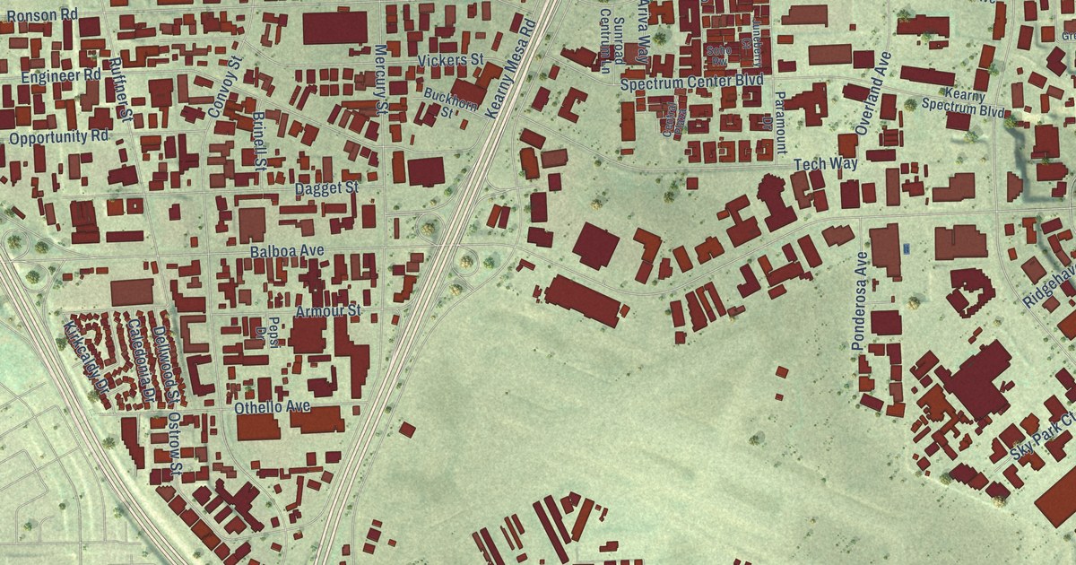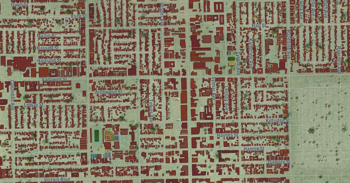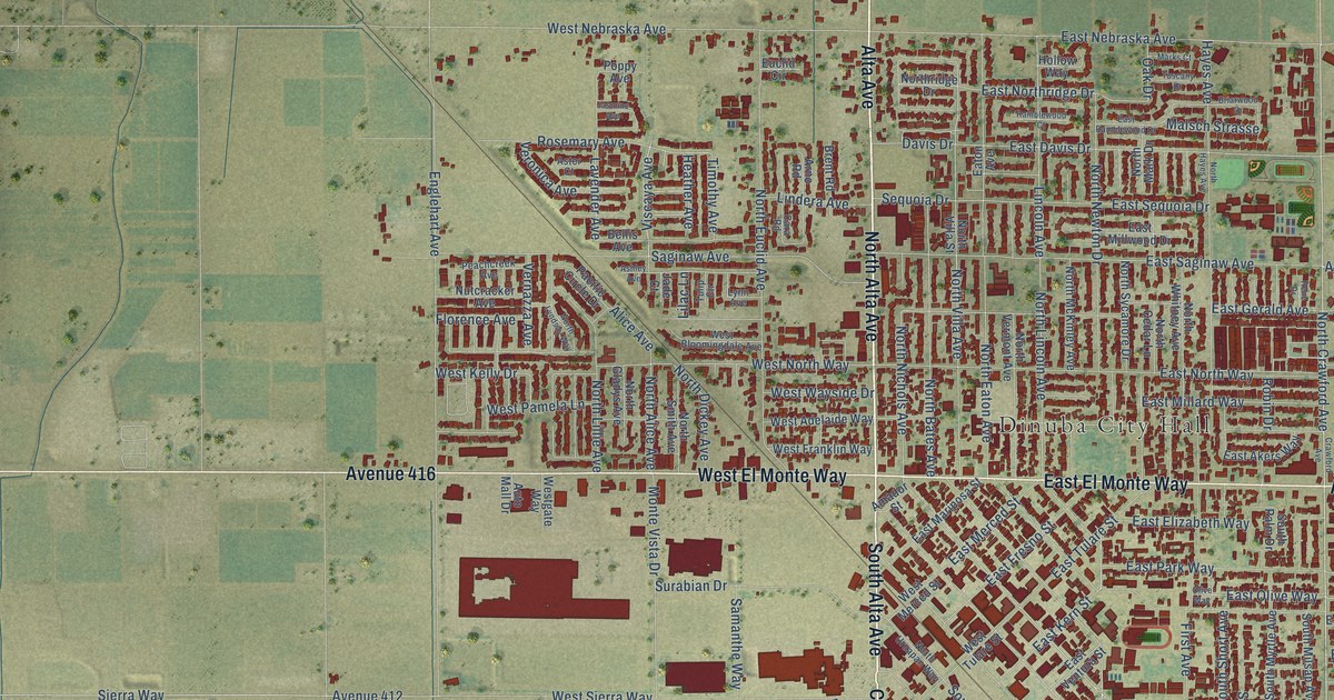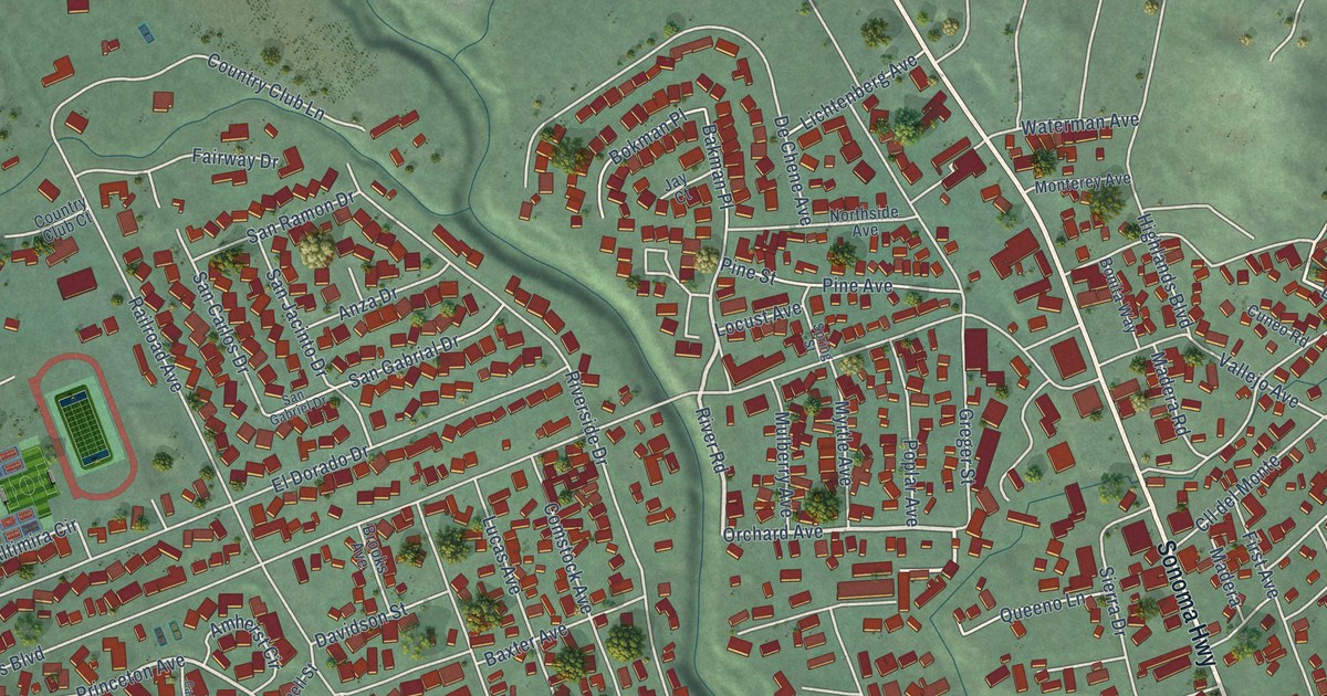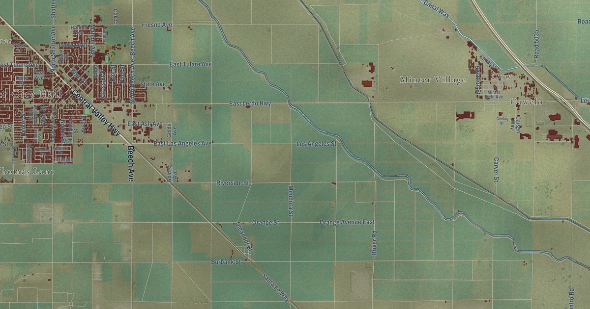
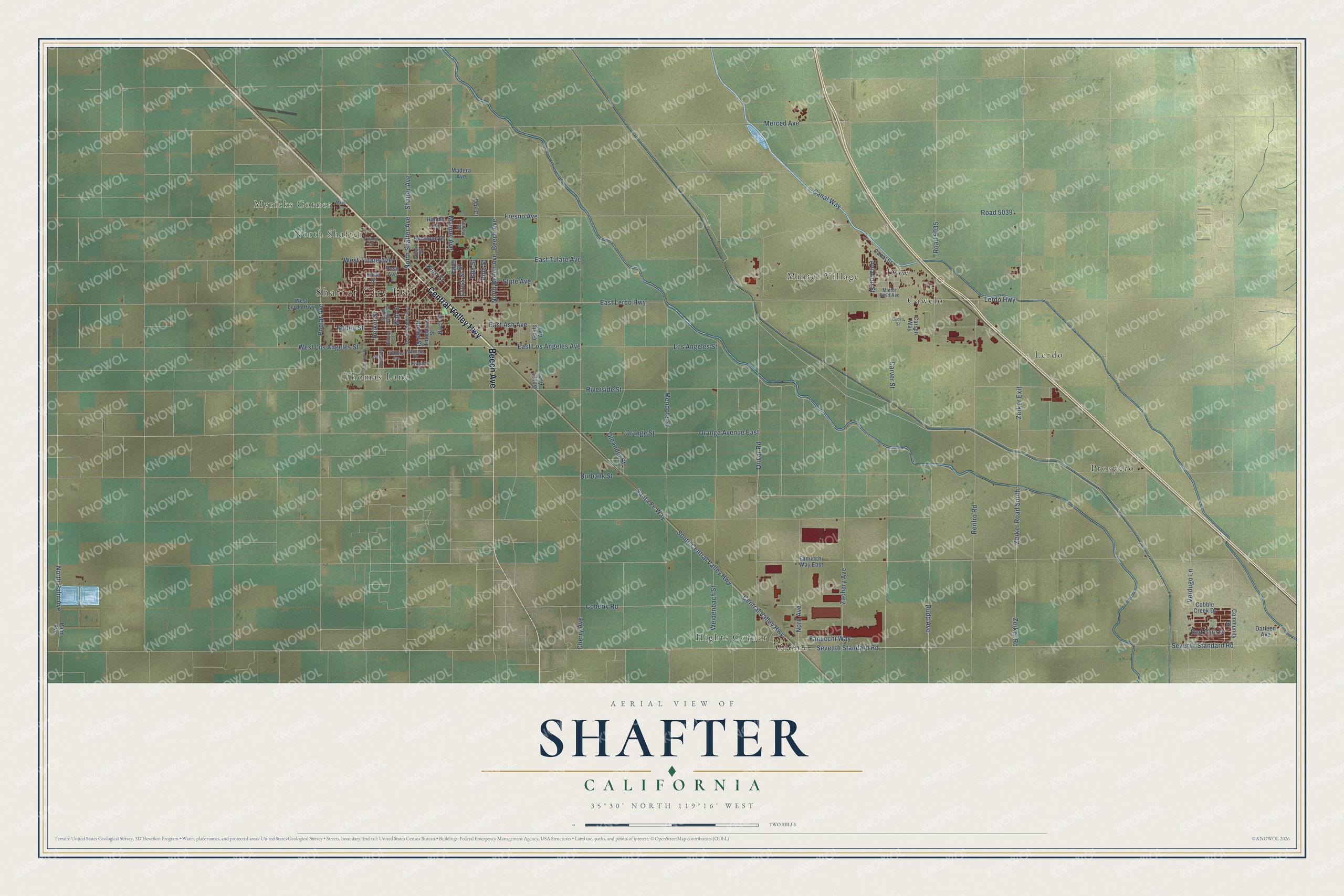
This beautifully detailed map of Shafter, California was created in 2026 using aerial imagery combined with modern topographical, census, street and landmark data. It's a modern aerial view of Shafter in Kern County, California, that combines modern data with a vintage aesthetic. The roads feature printed names, and if you look closely you can find your exact house accurately shown in its correct location.
Explore an aerial view of Shafter, California
On this map you'll find Shafter City Hall, Myricks Corner, North Shafter, Cawelo, Crome, Dow, Hights Corner, Lerdo, Minter Village, Prospero, Thomas Lane, Beech Avenue, and more. Each red shape is a building, so zoom in on the preview and look for yours.
Shafter has a story worth telling. The record at ohp.parks.ca.gov puts it this way: "The Shafter Cotton Research Station, established here in 1922 by the U."
Shafter is a city in Kern County. The Census Bureau counted 19,953 people here in 2020.
Take a closer look at the Shafter map
Names on this map
These names are printed on this map.
Places: Shafter City Hall, Myricks Corner, North Shafter, Cawelo, Crome, Dow, Hights Corner, Lerdo, Minter Village, Prospero and Thomas Lane.
Streets and roads: Beech Avenue, Central Valley Highway, Driver Road, East Lerdo Highway, Los Angeles Street, East Los Angeles Avenue, North Shafter Avenue, Kern Street, Aviation Street, Seventh Standard Road, Zerker Road, Burbank Street.
More street names, A to Z
Birch Street, Canal Street, Canal Way, Carsen Way, Carver Street, Cherry Avenue, Cobble Creek Drive, Coberly Road, Community Drive, Cross Street, Darleen Avenue, East Ash Avenue, East Tulare Avenue, Elm Street, Faber Street, Fanucchi Way, Fanucchi Way East, Frances Avenue, Fresno Avenue, Gecko Street, Gold's Avenue, Golds Avenue, Handel Avenue, Hillman Street, Karla Street, Lerdo Highway, Madera Avenue, Mannel Avenue, Mayer Lane, Mendota Street, Merced Avenue, Mettler Avenue, Minter Field Avenue, Nickel Street, Nord Avenue, North Beech Avenue, North Palm Avenue, Oak Court, Oakmont Street, Oleander Street, Orange Avenue East, Orange Street, Palm Avenue, Pine Street, Planada Drive, Poplar Avenue, Poso Avenue, Prince Lane, Red Pine Drive, Redwood Drive, Reiker Street, Renfro Road, Riverside Street, Road 5035, Road 5039, Rodeo Street, Rudd Avenue, Santa Fe Way, Shafter Avenue, Sonora Drive, South Central Valley Highway, South Shafter Avenue, South Valley Street, State Avenue, Thompson Street, Verdugo Lane, Wall Street, Weidenbach Street, West Lerdo Highway, West Los Angeles Street, West Tulare Avenue, Willow Street, Winters Drive, Zachary Avenue, Zerker Exit, Zerker Road South.
Created by KNOWOL in 2026. The buildings are small red shapes, the roads carry their printed names, and shaded relief shows the shape of the land. The title panel reads "AERIAL VIEW OF SHAFTER CALIFORNIA" with 35°30' NORTH 119°16' WEST.
It looks right in a kitchen, an office or a den, and it's a gift for anyone who grew up in Shafter or moved away. Open the preview and find your street. See sizes and frames for the Shafter map.