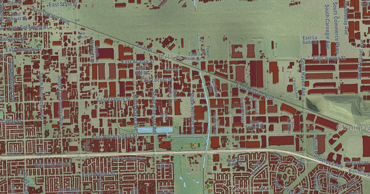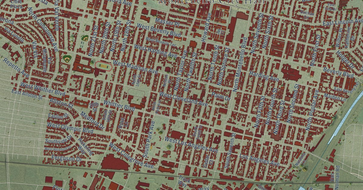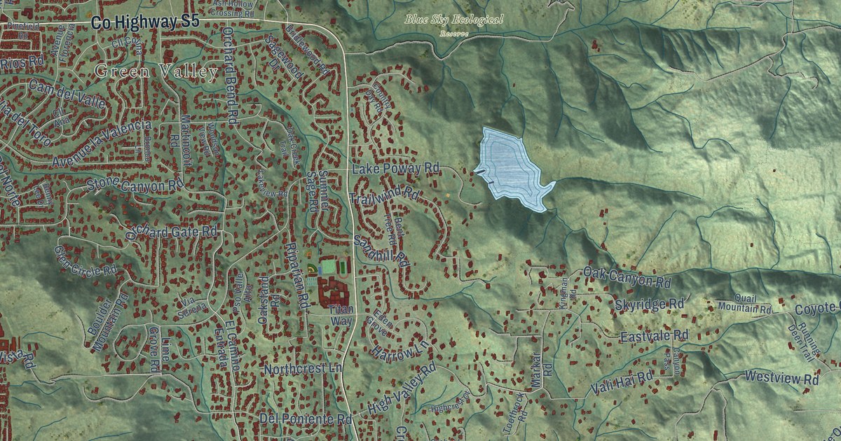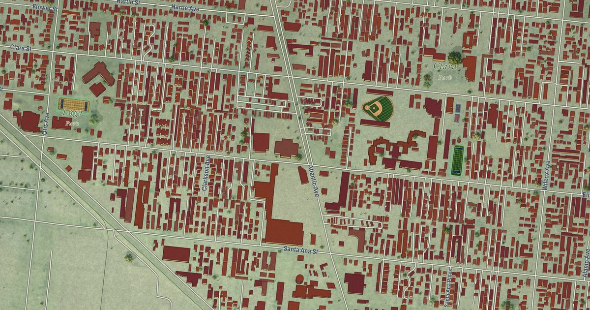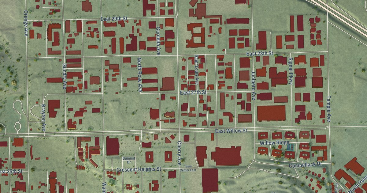
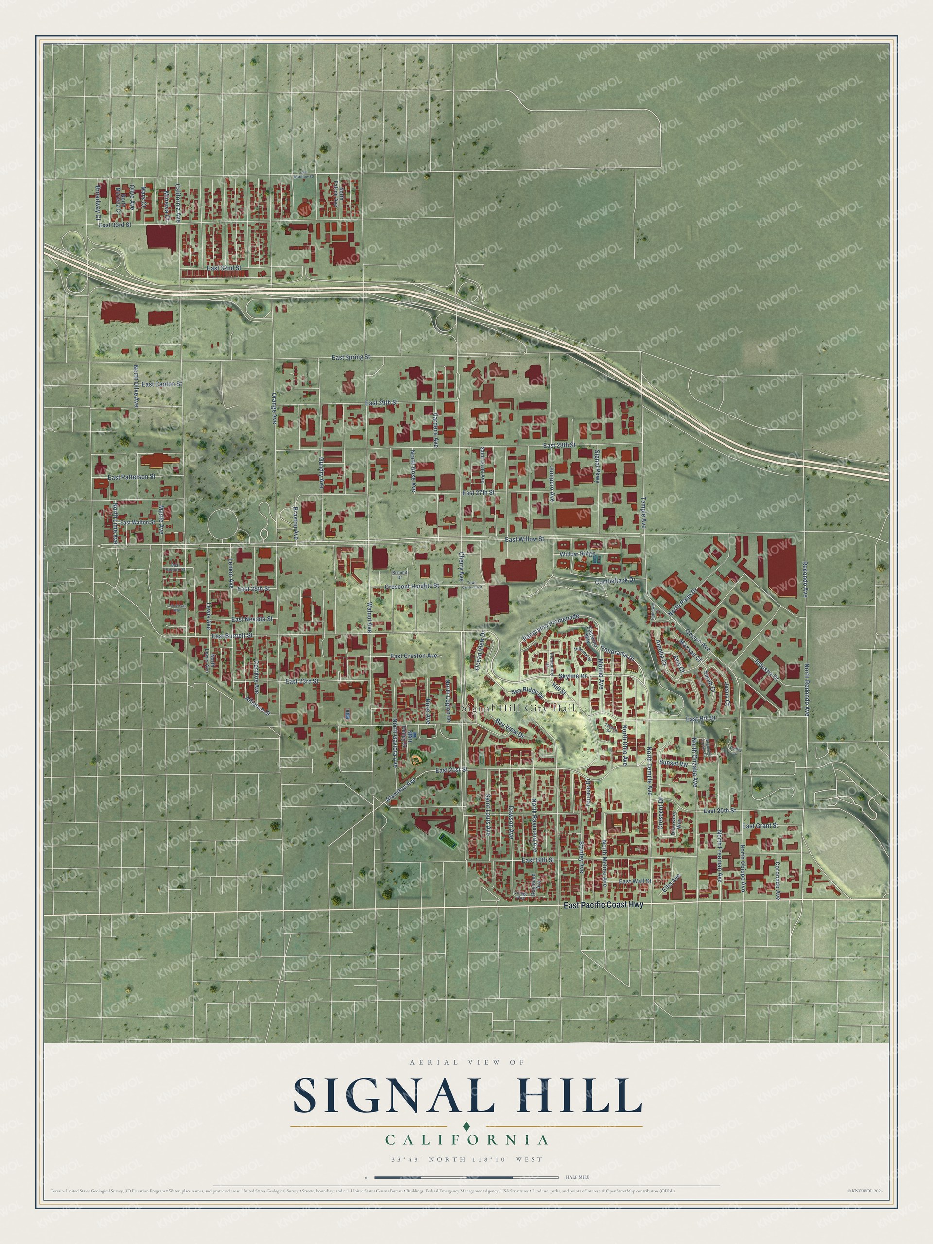
This beautifully detailed map of Signal Hill, California was created in 2026 using aerial imagery combined with modern topographical, census, street and landmark data. It's a modern aerial view of Signal Hill in Los Angeles County, California, that combines modern data with a vintage aesthetic. The roads feature printed names, and if you look closely you can find your exact house accurately shown in its correct location.
Explore an aerial view of Signal Hill, California
On this map you'll find Signal Hill City Hall, East Pacific Coast Highway, Skyline Drive, Temple Avenue, Lewis Avenue, East 21st Street, East Burnett Street, North Temple Avenue, Panorama Drive, Panorama Promenade, Alamitos Avenue, Dawson Avenue, and more. Each red shape is a building, so zoom in on the preview and look for yours.
Signal Hill has a story worth telling. The record at ohp.parks.ca.gov puts it this way: "This discovery well led to the development of one of the most productive oil fields in the world and helped to establish California as a major oil producing state."
Signal Hill is a city in Los Angeles County. The Census Bureau counted 11,848 people here in 2020.
Take a closer look at the Signal Hill map
Names on this map
These names are printed on this map.
Places: Signal Hill City Hall.
Streets and roads: East Pacific Coast Highway, Skyline Drive, Temple Avenue, Lewis Avenue, East 21st Street, East Burnett Street, North Temple Avenue, Panorama Drive, Panorama Promenade, Alamitos Avenue, Dawson Avenue, North Molino Avenue.
More street names, A to Z
Alliance Street, Amelia Court, Avis Court, Bay View Drive, Brayton Avenue, Broadway Court, California Avenue, Catalina Drive, Cerritos Avenue, Cherry Avenue, Combellack Drive, Coronado Avenue, Crescent Drive, Crescent Heights Street, Discovery Way, Dudley Circle, East 19th Street, East 20th Street, East 23rd Street, East 25th Street, East 27th Street, East 28th Street, East 29th Street, East 32nd Street, East 33rd Street, East Canton Street, East Creston Avenue, East Grant Street, East Hill Street, East Nevada Street, East Patterson Street, East Spring Street, East Vernon Street, East Wall Street, East Walton Street, East Wardlow Road, East Willow Street, Eastwind Way, Ellis Avenue, Gardena Avenue, Gundry Avenue, Hathaway Court, Hillcrest Street, Hill Street, Industry Drive, Jeans Court, Junipero Avenue, Las Brisas Way, Lemon Avenue, Mars Court, Maxson Court, Minerva Court, Molino Avenue, Myrtle Avenue, North Falcon Avenue, North Freeman Avenue, North Gaviota Avenue, North Kelley Drive, North Legion Drive, North Lewis Avenue, North Lime Avenue, North Marietta Court, North Obispo Avenue, North Ohio Avenue, North Olive Avenue, North Orizaba Avenue, North Palm Drive, North Raymond Avenue, North Redondo Avenue, North Rose Avenue, Obispo Avenue, Ocean View Drive, Olive Avenue, Orange Avenue, Promontory Drive, Raymond Avenue, Redondo Avenue, Ridgeview Terrace Drive, Rose Avenue, Saint Louis Avenue, Sarah Court, Sea Ridge Drive, Signal Parkway, Stanley Avenue, Summit Drive, Sunset Vw, Terrace Drive, Town Center East, Village Way, Walnut Avenue, Willow Ridge.
Created by KNOWOL in 2026. The buildings are small red shapes, the roads carry their printed names, and shaded relief shows the shape of the land. The title panel reads "AERIAL VIEW OF SIGNAL HILL CALIFORNIA" with 33°48' NORTH 118°10' WEST.
It looks right in a kitchen, an office or a den, and it's a gift for anyone who grew up in Signal Hill or moved away. Open the preview and find your street. See sizes and frames for the Signal Hill map.