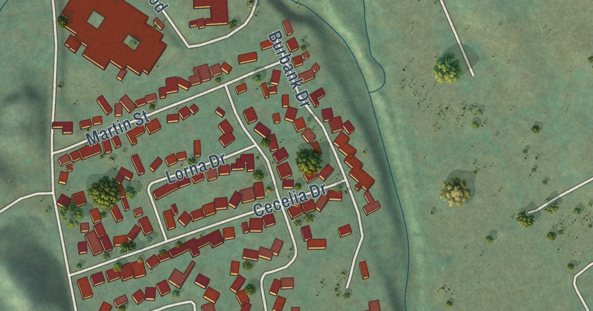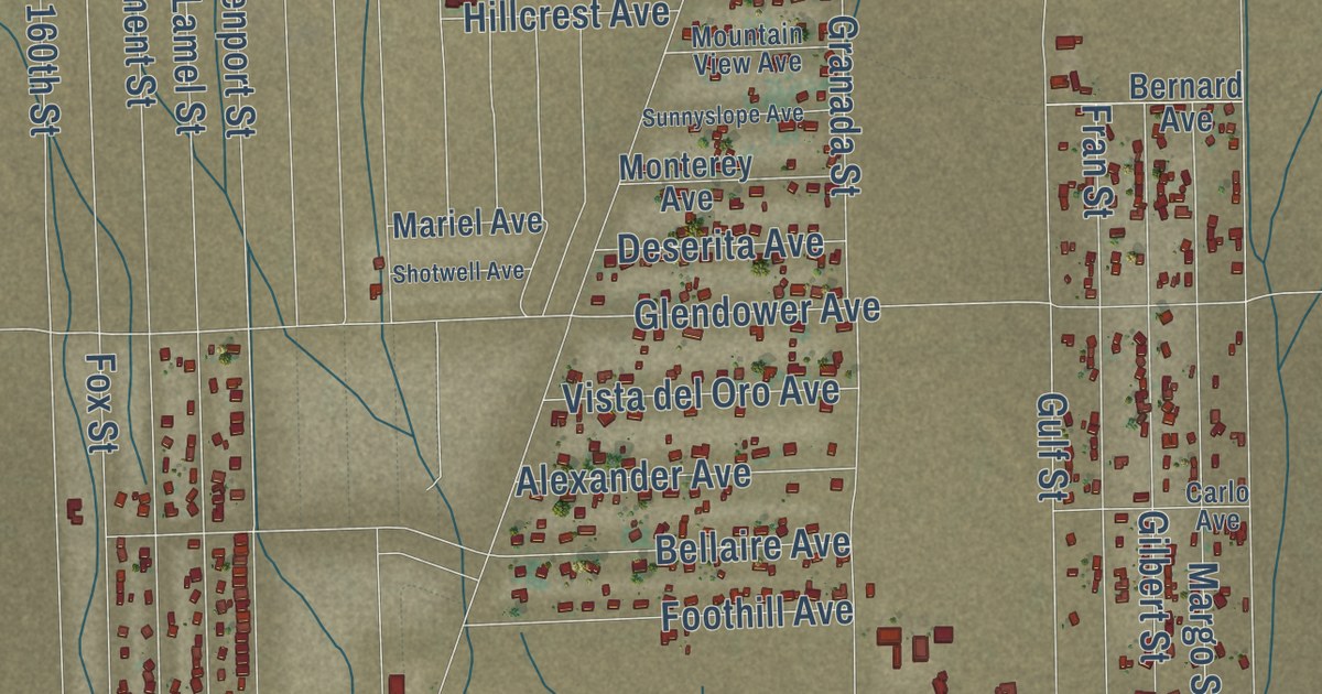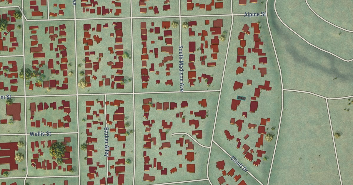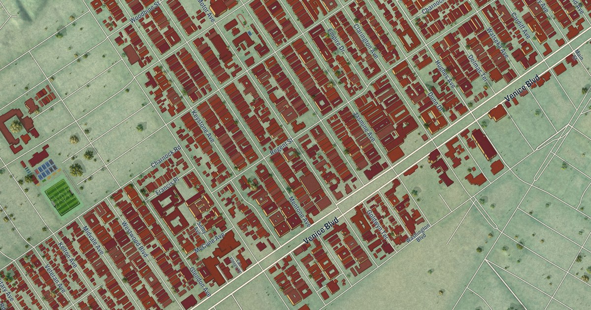
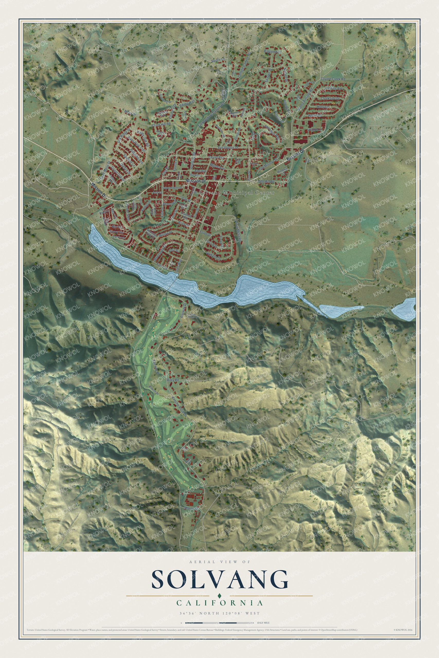
This beautifully detailed map of Solvang, California was created in 2026 using aerial imagery combined with modern topographical, census, street and landmark data. It’s a one-of-a-kind view of Solvang that combines accurate data with a vintage aesthetic. The map shows every building in its true location, many of the roads carry their names, and the shaded topographic relief shows the shape of the land.
Explore an aerial view of Solvang, California
On the map you’ll find Solvang Municipal Center, along with Mission Drive, Village Lane, Olesen Drive, Oak Ridge Drive, Valley Oak Road, Ringsted Drive, Atterdag Road, Squire Lane, Alisal Road, Rancho Alisal Drive, Alamo Pintado Road, and more. If you look closely you can even find your house accurately drawn in its correct location. Zoom in on the preview to look for yours.
Did you know this piece of Solvang, California history?
From Ohp.parks.ca.gov: "This mission was founded in 1804 by Father Estévan Tapís to reach the Indians living east of the Coast Range."
Take a closer look at the Solvang map
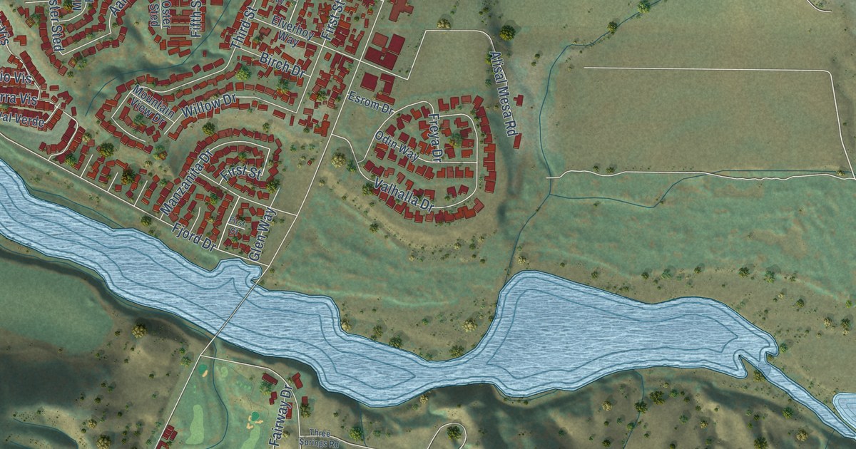
Street and place names on the Solvang, California map
These names are printed on the map of Solvang, California.
Places: Solvang Municipal Center.
Streets and roads: Mission Drive, Village Lane, Olesen Drive, Oak Ridge Drive, Valley Oak Road, Ringsted Drive, Atterdag Road, Squire Lane, Alisal Road, Rancho Alisal Drive, Alamo Pintado Road, Hillside Drive.
More street names, A to Z
Aalborg Court, Aalborg Way, Aarhus Drive, Acorn Way, Adelgade Drive, Adobe Creek Road, Aebeltoft Way, Alisal Mesa Road, Alta Vis, Amber Way, Aqueduct Way, Ash Lane, Askov Place, Birch Drive, Bowl Place, Chalk Hill Road, Coast Oak Drive, College Canyon Road, Copenhagen Drive, Coyote Creek Road, Creekside Drive, Creekside Place, Elm Avenue, Elsinore Drive, Elverhoy Way, Esrom Drive, Eucalyptus Drive, Fairway Drive, Fairway Place, Fifth Street, Fir Avenue, First Court, First Place, First Street, Fjord Drive, Floral Drive, Fourth Place, Fredensborg Canyon Road, Freya Drive, Glen Way, Hans Park Trail, Holly Lane, Ivy Lane, Kanin Hoj, Kolding Avenue, Kronborg Drive, Kronen Way, Laurel Avenue, Manzanita Drive, Maple Avenue, Mesa Drive, Midten Hof, Mountain View Drive, Nykobing, Nysted Drive, Oak Street, Odin Way, Old Mill Road, Old Mission Drive, Oster Sted, Overdel Lane, Oxbow Place, Petersen Avenue, Pine Street, Pistache Avenue, Pso del Rio, Ranch Road, Rebild Drive, Riley Road, Rincon Drive, Rio Vis, Roskilde Road, Sawleaf Lane, Second Street, Sharon Place, Sierra Vis, Skagen Drive, Skytt Mesa Drive, Sycamore Way, Third Street, Three Springs Road, Valhalla Drive, Val Verde, Vester Sted, Via Reposa, Viborg Road, Viking Way, Willow Drive, Windmill Lane.
See the Solvang, California map on a wall
The Solvang map as an 18 x 24 inch print in a black frame.

This beautifully detailed map of Solvang makes an attractive addition to your office, library, or den, and it can even be used to teach children the geography and history of the area. It also makes a great gift for anyone who grew up in Solvang or moved away. When you’re done exploring, click here to get your copy of the Solvang map.