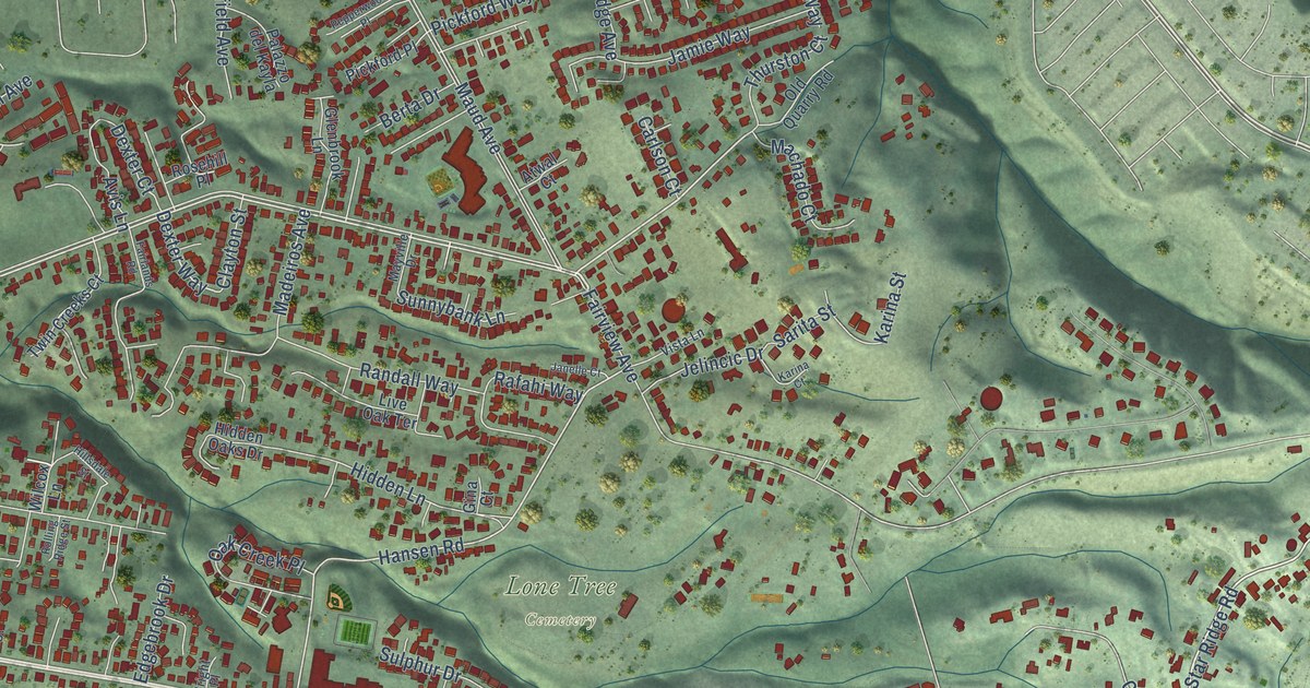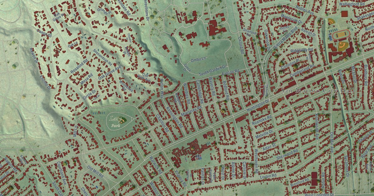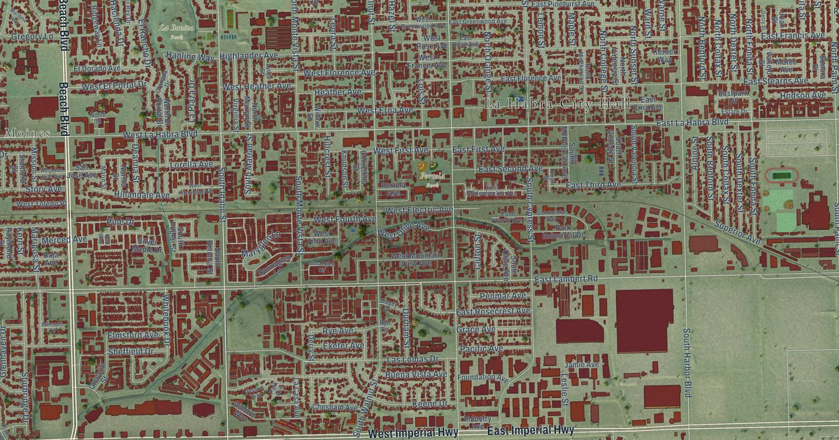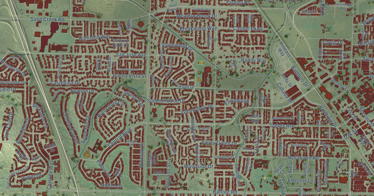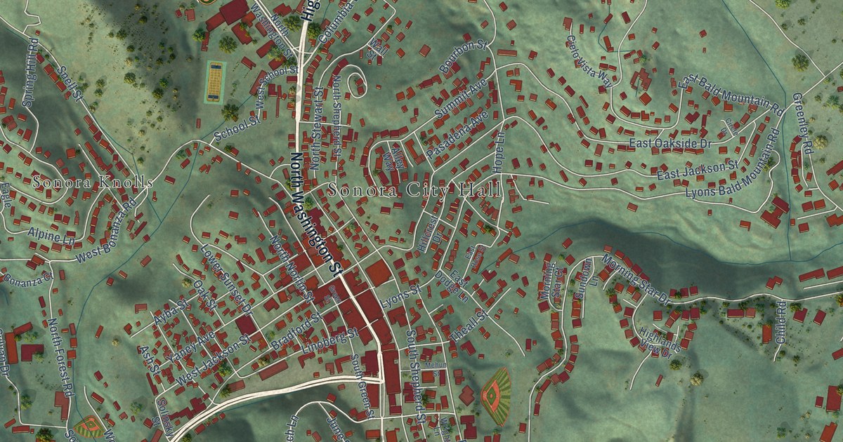
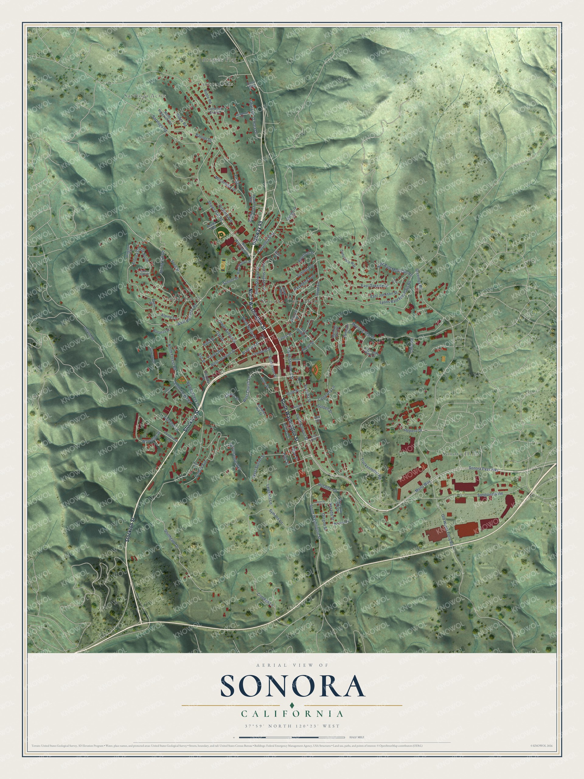
This beautifully detailed map of Sonora, California was created in 2026 using aerial imagery combined with modern topographical, census, street and landmark data. It's a modern aerial view of Sonora in Tuolumne County, California, that combines modern data with a vintage aesthetic. The roads feature printed names, and if you look closely you can find your exact house accurately shown in its correct location.
Explore an aerial view of Sonora, California
On this map you'll find Sonora City Hall, Browns Flat, Cuesta Oaks, Saratoga Acres, Sonora Hills, Sonora Knolls, South Washington Street, North Washington Street, Stockton Street, Highway 49, Columbia Way, Shaws Flat Road, and more. Each red shape is a building, so zoom in on the preview and look for yours.
Sonora has a story worth telling. The record at ohp.parks.ca.gov puts it this way: "The first services were held in the church on October 4, 1859, and it was consecrated by Rt."
Sonora is a city in Tuolumne County. The Census Bureau counted 5,003 people here in 2020.
Take a closer look at the Sonora map
Names on this map
These names are printed on this map.
Places: Sonora City Hall, Browns Flat, Cuesta Oaks, Saratoga Acres, Sonora Hills and Sonora Knolls.
Streets and roads: South Washington Street, North Washington Street, Stockton Street, Highway 49, Columbia Way, Shaws Flat Road, Mono Way, Sonora Pass Highway, West Jackson Street, West Church Lane, South Stewart Street, Hospital Road.
More street names, A to Z
Alley Way, Alpine Lane, Arbona Circle North, Ash Street, Ayba Street, Banner Drive, Barretta Street, Bonanza Court, Bourbon Street, Bradford Street, Braida Way, Calaveras Street, Cemetery Lane, Child Road, Church Street, Cielo Vista Way, Circle Drive, Corte del Encino, Crooked Lane, Delnero Drive, Dossi Way, Dragoon Circle, Eagle Drive, East Bald Mountain Road, East Dodge Lane, East Jackson Street, East Live Oak Drive, East Lytton Street, East Oakside Drive, East Rose Street, Elk Drive, Fair Street, Fairview Lane, Forest Road, Gatewood Drive, Gerrymander Avenue, Golden Gate Court, Golden Street, Gold Street, Greenley Road, Green Street, Highlands View Drive, High Street, Hillcrest Drive, Hope Lane, June Street, Knowles Hill Drive, Leighton Lane, Leland Drive, Linoberg Street, Lower Sunset Drive, Lyons Bald Mountain Road, Lyons Street, Mariposa Drive, McCormick Drive, McGowan Street, Mehun Street, Morning Star Court, Morning Star Drive, Nevada Street, North Forest Road, North Norlin Street, North Reservoir Road, North Shepherd Street, North Stewart Street, O'Hara Drive, Oak Street, Ohara Drive, Old Wards Ferry Road, Olive Street, Orchard Avenue, Oregon Street, Otis Street, Pasadena Avenue, Pesce Way, Ponderosa Lane, Ridge Road, Roble Road, Sanguinetti Road, Saratoga Road, School Street, Shangri-la Lane, Snell Street, Solinsky Street, Sonora Avenue, South Forest Road, Southgate Drive, South Green Street, South Shepherd Street, Spring Hill Road, Steffen Lane, Summit Avenue, Sundown Lane, Sylvan Drive, Symons Lane, Theall Street, Truckenmiller Road, Wall Street, West Bonanza Road, West School Street, West Sunset Street, William Street, Woods Creek Drive, Woodside Drive, Wright Lane, Yaney Avenue.
Created by KNOWOL in 2026. The buildings are small red shapes, the roads carry their printed names, and shaded relief shows the shape of the land. The title panel reads "AERIAL VIEW OF SONORA CALIFORNIA" with 37°59' NORTH 120°23' WEST.
It looks right in a kitchen, an office or a den, and it's a gift for anyone who grew up in Sonora or moved away. Open the preview and find your street. See sizes and frames for the Sonora map.