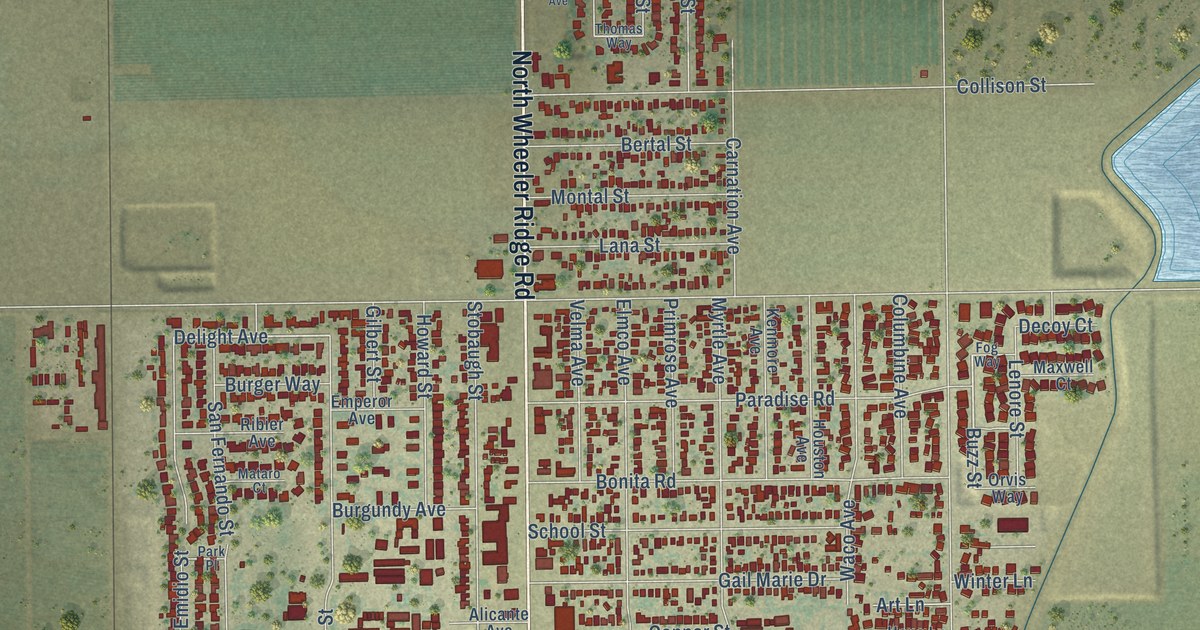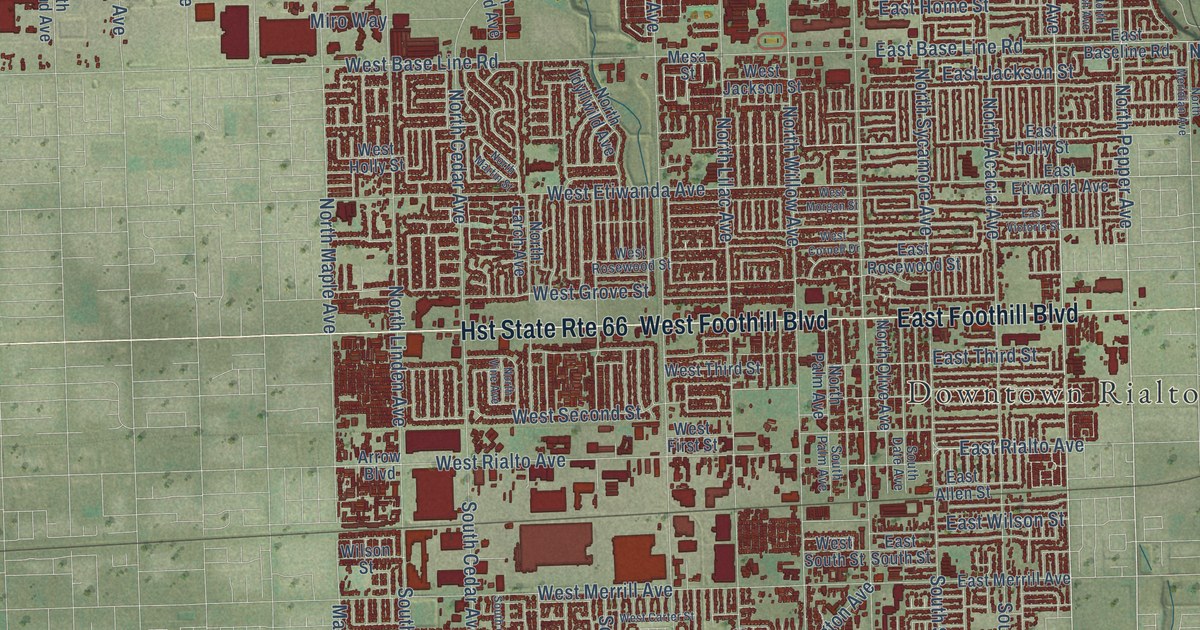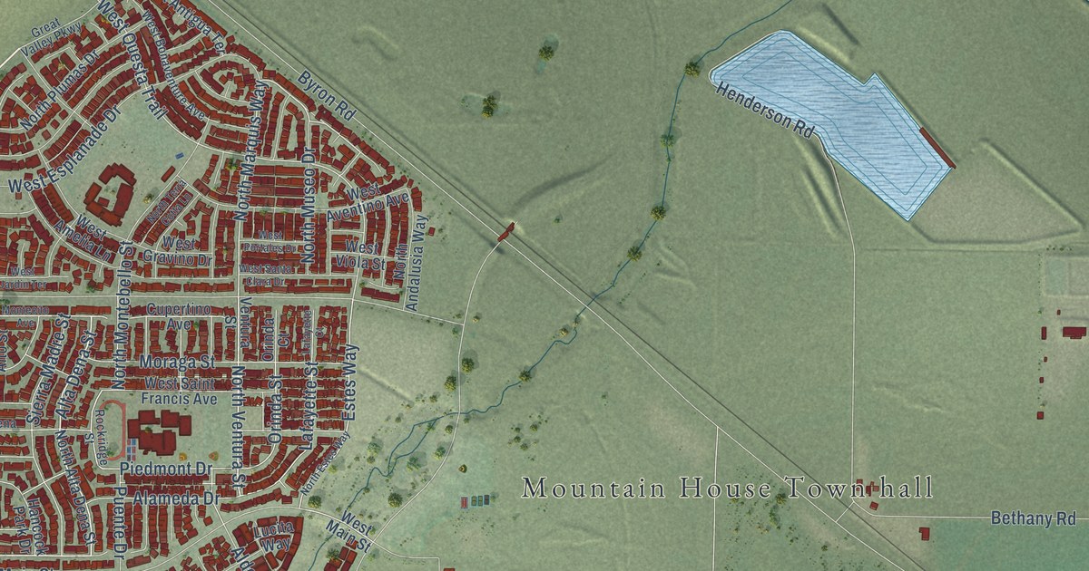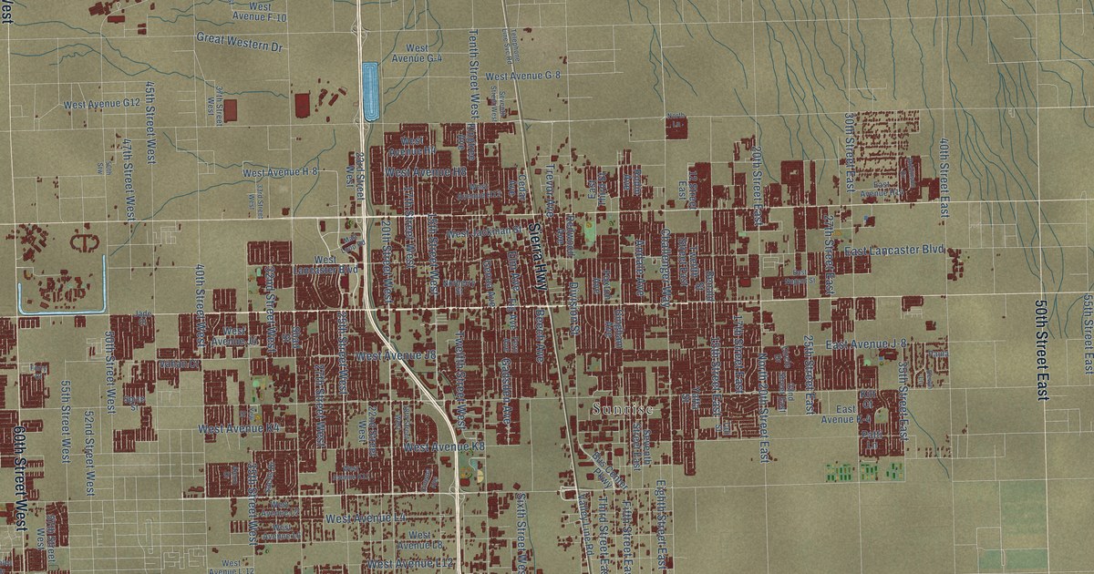
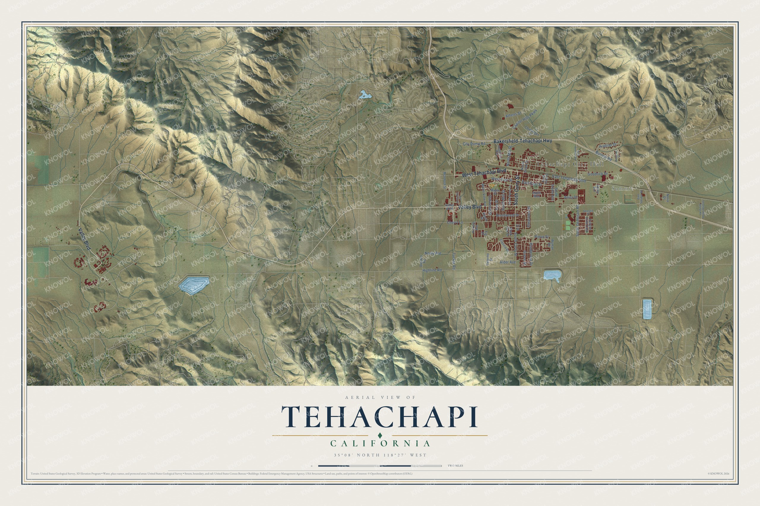
This beautifully detailed map of Tehachapi, California was created in 2026 using aerial imagery combined with modern topographical, census, street and landmark data. It's a modern aerial view of Tehachapi in Kern County, California, that combines modern data with a vintage aesthetic. The roads feature printed names, and if you look closely you can find your exact house accurately shown in its correct location.
Explore an aerial view of Tehachapi, California
On this map you'll find Tehachapi City Hall, Summit, South Curry Street, West Tehachapi Boulevard, Bakersfield-Tehachapi Highway, Valley Boulevard, Tucker Road, North Mill Street, Cherry Lane, East Tehachapi Boulevard, Pinon Street, South Dennison Road, and more. Each red shape is a building, so zoom in on the preview and look for yours.
Here is a piece of Tehachapi history, in the words of the record. The record at ohp.parks.ca.gov puts it this way: "Due to the extremely sensitive nature of the site, Tomo-Kahni is available to the public by tour only."
Tehachapi is a city in Kern County. The Census Bureau counted 12,939 people here in 2020.
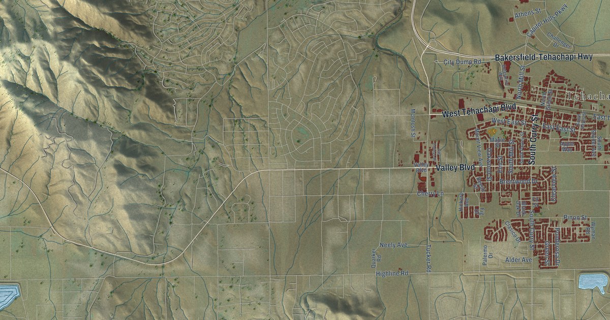
Take a closer look at the Tehachapi map
Names on this map
These names are printed on this map.
Places: Tehachapi City Hall and Summit.
Streets and roads: South Curry Street, West Tehachapi Boulevard, Bakersfield-Tehachapi Highway, Valley Boulevard, Tucker Road, North Mill Street, Cherry Lane, East Tehachapi Boulevard, Pinon Street, South Dennison Road, Highline Road, Alder Avenue.
More street names, A to Z
Anita Drive, Appaloosa Court, Apple Way, Arabian Drive, Athens Street, Bailey Avenue, Beech Street, Black Oak Drive, Brentwood Drive, Burnett Road, Canyon Drive East, Capitol Hills Parkway, Challenger Drive, City Dump Road, Clasico Drive, Clearview Street, East East Street, East Steuber Road, Elm Street, Enterprise Way, Fig Drive, Fir Street, Georgia Street, Goodrick Drive, Green Street, Hickory Avenue, Las Colinas Street, Maple Street, McIntosh Street, Mount View Avenue, Neely Avenue, Noria Drive, North Dennison Road, North Green Street, Oakwood Street, Palermo Drive, Ponderosa Drive, Quarker Road, South Hayes Street, South Mill Street, South Pauley Street, South Snyder Avenue, Tehachapi Willow Springs Road, West East Street, Wyman Road.
Created by KNOWOL in 2026. The buildings are small red shapes, the roads carry their printed names, and shaded relief shows the shape of the land. The title panel reads "AERIAL VIEW OF TEHACHAPI CALIFORNIA" with 35°08' NORTH 118°27' WEST.
It suits a den, a classroom or a front hall, and it makes a gift for anyone with Tehachapi roots. Open the preview and find the block you know. See sizes and frames for the Tehachapi map.