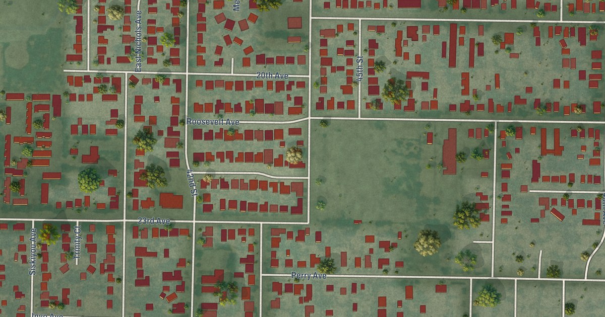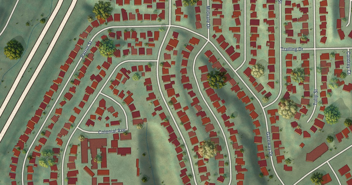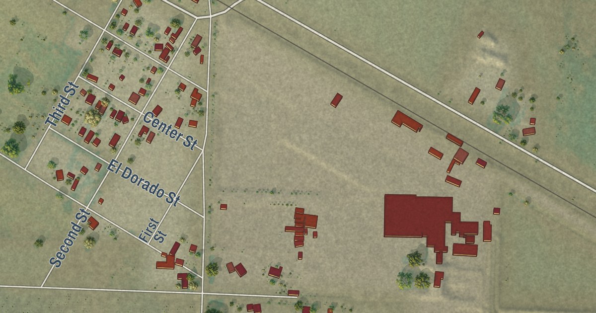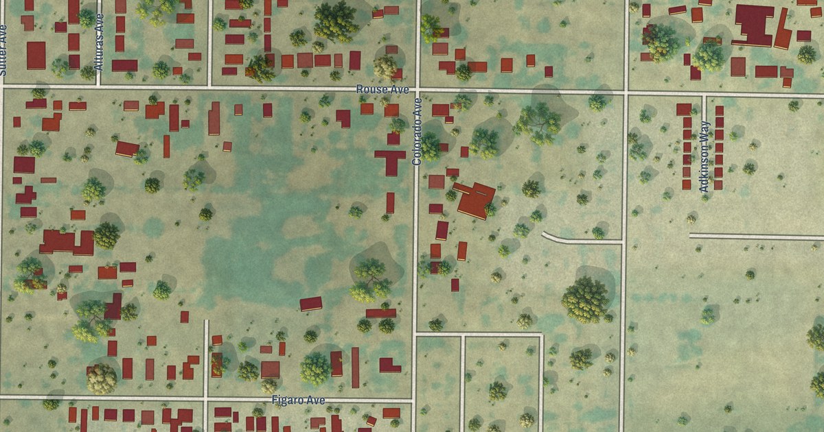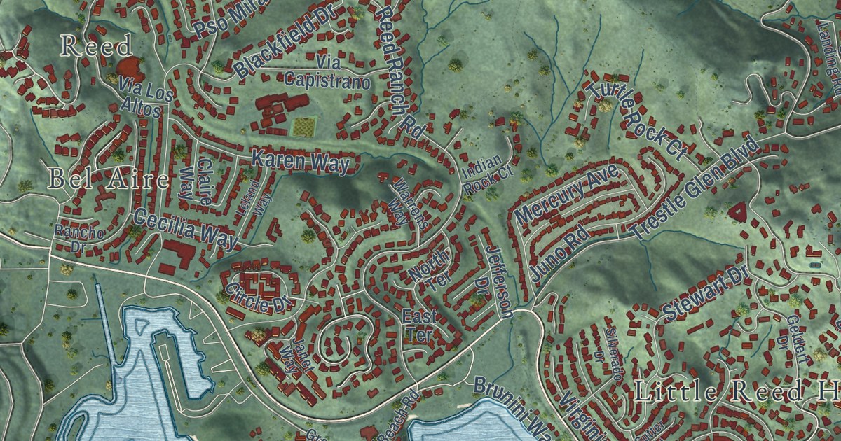
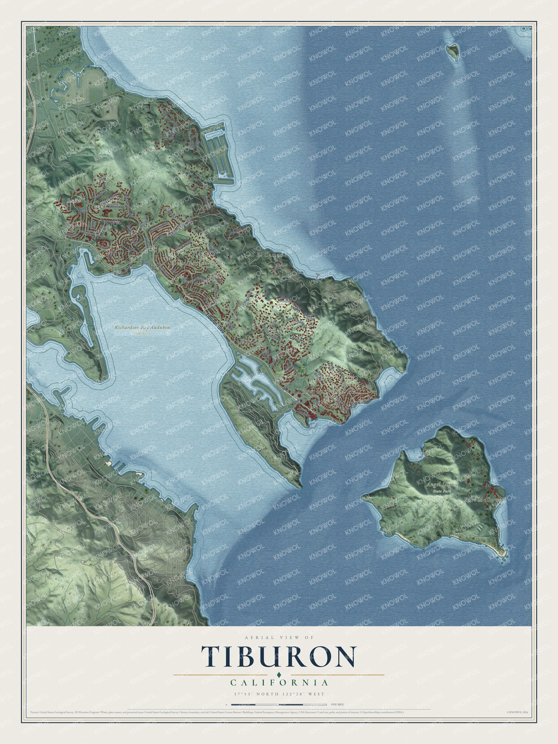
This beautifully detailed map of Tiburon, California was created in 2026 using aerial imagery combined with modern topographical, census, street and landmark data. It’s a one-of-a-kind view of Tiburon that combines accurate data with a vintage aesthetic. The map shows every building in its true location, many of the roads carry their names, and the shaded topographic relief shows the shape of the land.
Explore an aerial view of Tiburon, California
On the map you’ll find Tiburon Town Hall, Reed, Bel Aire, Angel Island State Park, Richardson Bay Audubon Sanctuary, El Campo, Fort McDowell, Hilarita, and Little Reed Heights, along with Tiburon Boulevard, Juno Road, Paradise Drive, and more. If you look closely you can even find your house accurately drawn in its correct location. Zoom in on the preview to look for yours.
Did you know this piece of Tiburon, California history?
From the NoeHill Travels in California: "In 1884, Donahue extended the railroad and provided ferry service by moving the southern terminus of the line to Point Tiburon."
Take a closer look at the Tiburon map
Street and place names on the Tiburon, California map
These names are printed on the map of Tiburon, California.
Places: Tiburon Town Hall, Reed, Bel Aire, Angel Island State Park, Richardson Bay Audubon Sanctuary, El Campo, Hilarita, Little Reed Heights and Fort McDowell.
Streets and roads: Tiburon Boulevard, Diviso Street, Paradise Drive, Reed Ranch Road, Mar West Street, Gilmartin Drive, Lyford Drive, Blackfield Drive, Hilary Drive, Round Hill Road, Trestle Glen Boulevard, Stewart Drive.
More street names, A to Z
Acela Drive, Antonette Drive, Avenue Miraflores, Beach Road, Bond Lane, Brunini Way, Cecilia Way, Cibrian Drive, Circle Drive, Claire Way, East Terrace, Geldert Drive, Greenwood Beach Road, Hacienda Drive, Harbor Oak Drive, Indian Rock Court, Janet Way, Jefferson Drive, Juno Road, Karen Way, Kleinert Way, Lagoon Vis, Leland Way, Main Street, Mar East Street, Mateo Drive, Mercury Avenue, Midden Lane, Mira Flores Lane, Mountain View Drive, Norman Way, North Terrace, Old Landing Road, Place Moulin, Pso Mirasol, Rancho Drive, Red Hill Circle, Ridge Road, Rock Hill Drive, Seafirth Road, Silverado Drive, Stony Hill Road, Sugar Loaf Drive, Sugarloaf Drive, Sutter Court, Tara Hill Road, Taylor Road, Turtle Rock Court, Venado Drive, Via Capistrano, Via Los Altos, Via Paraiso East, Virginia Drive, Vistazo West Street, Warrens Way.
See the Tiburon, California map on a wall
The Tiburon map as an 18 x 24 inch print in a black frame.

This beautifully detailed map of Tiburon makes an attractive addition to your office, library, or den, and it can even be used to teach children the geography and history of the area. It also makes a great gift for someone who left Tiburon and still calls it home. When you’re done exploring, click here to get your copy of the Tiburon map.