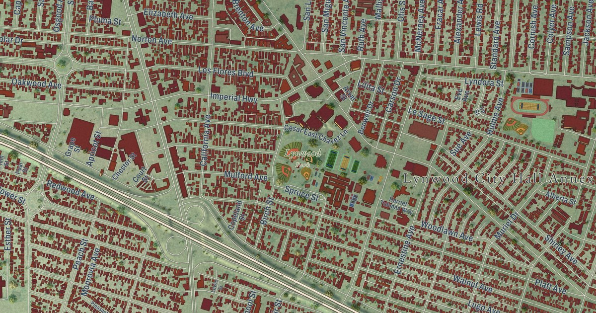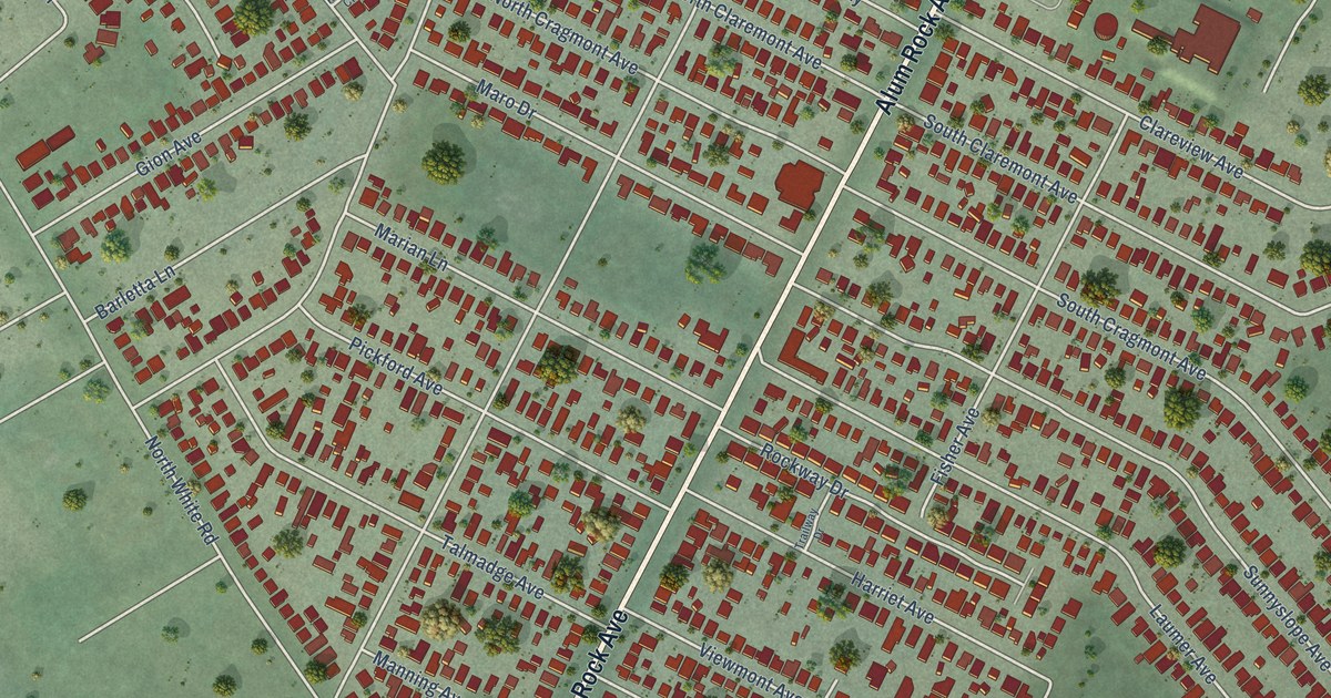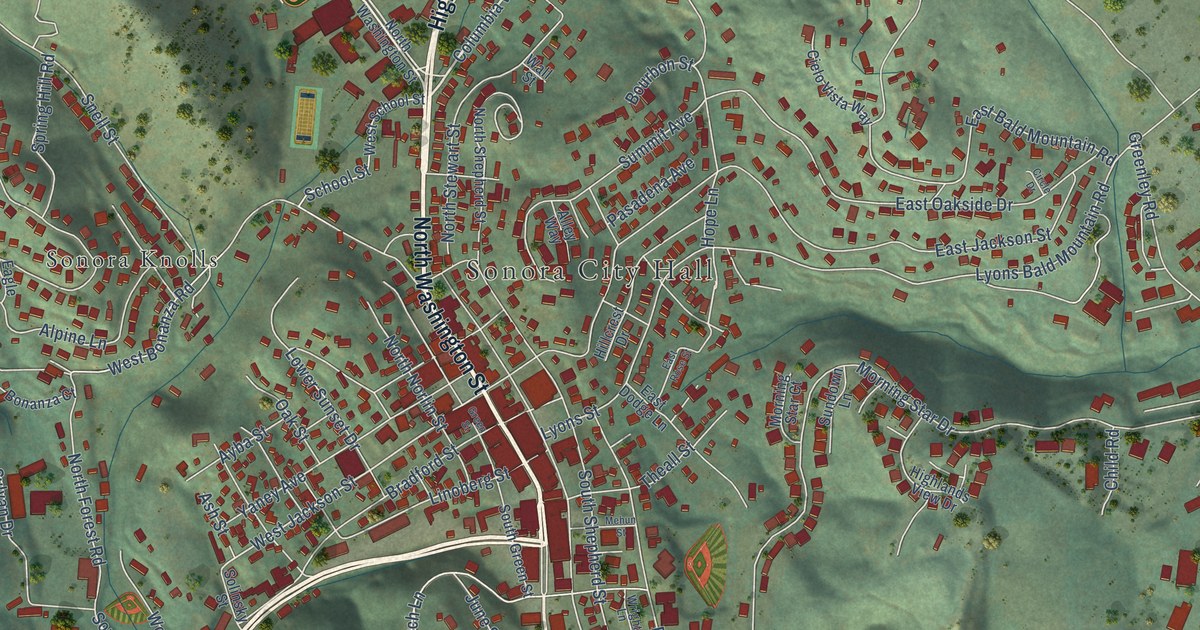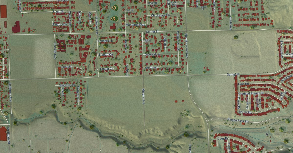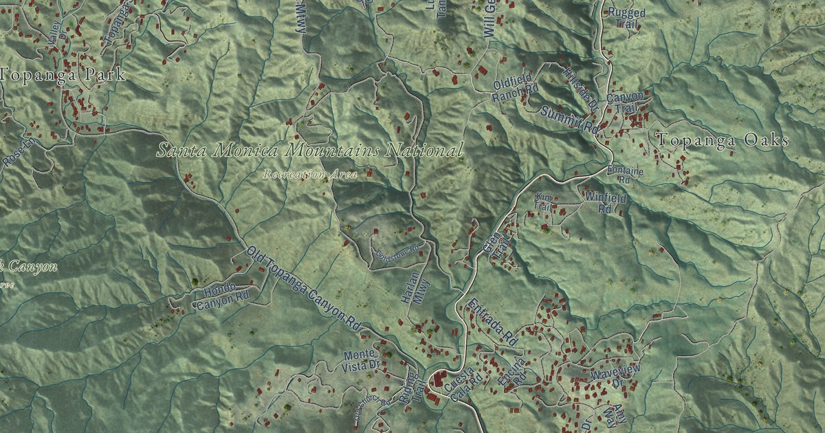
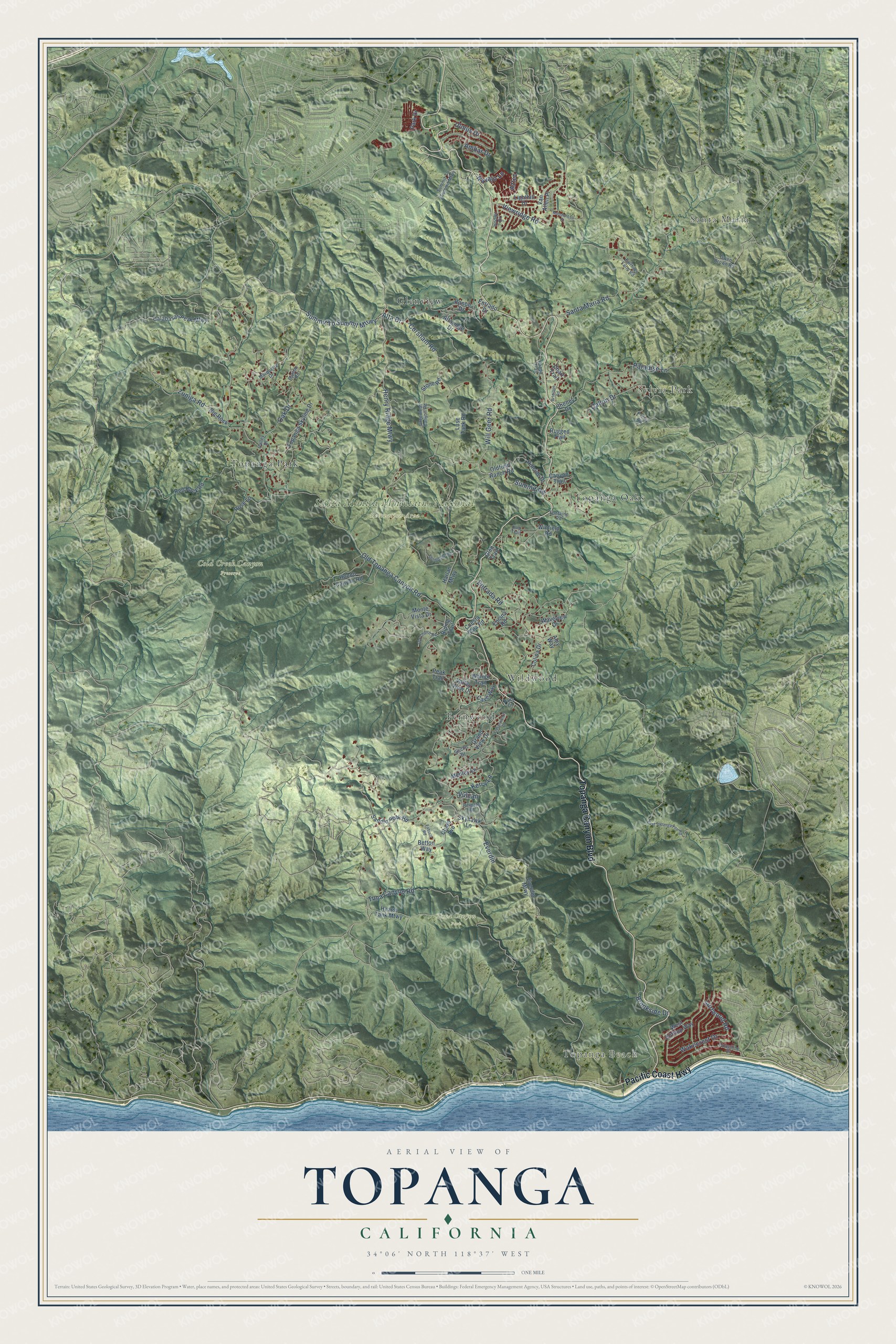
This beautifully detailed map of Topanga, California was created in 2026 using aerial imagery combined with modern topographical, census, street and landmark data. It's a modern aerial view of Topanga in Los Angeles County, California, that combines modern data with a vintage aesthetic. The roads feature printed names, and if you look closely you can find your exact house accurately shown in its correct location.
Explore an aerial view of Topanga, California
On this map you'll find Topanga Beach, Santa Maria, Sylvia Park, Cold Creek Canyon Preserve, Santa Monica Mountains National Recreation Area, Tuna Canyon Park, Fernwood, Glenview, Topanga Oaks, Topanga Park, Wildwood, Topanga Canyon Boulevard, and more. Each red shape is a building, so zoom in on the preview and look for yours.
Here is a piece of Topanga history, in the words of the record. The Los Angeles County History puts it this way: "The first land grant in this vicinity was that known as Topanga Malibu made in 1805 to Don Jose Bartolemeo Tapia."
Topanga is a community in Los Angeles County. The Census Bureau counted 8,560 people here in 2020.
Take a closer look at the Topanga map
Names on this map
These names are printed on this map.
Places: Topanga Beach, Santa Maria, Sylvia Park, Cold Creek Canyon Preserve, Santa Monica Mountains National Recreation Area, Tuna Canyon Park, Fernwood, Glenview, Topanga Oaks, Topanga Park and Wildwood.
Streets and roads: Topanga Canyon Boulevard, Pacific Coast Highway, Summit To Summit Mtrwy, Santa Maria Road, Entrada Road, Tuna Canyon Road, Old Topanga Canyon Road, Henry Ridge Mtwy, Will Geer Road, Zuniga Road, Callon Drive, Corsham Road.
More street names, A to Z
Alta Drive, Altaridge Drive, Ambar Drive, Amy Way, Arteique Road, Aztec, Betton Way, Big Rock, Brookside Drive, Burson Road, Calabasas Peak Mtwy, Canon Drive, Canyon Trail, Cave Way, Chard Avenue, Chart Trail, Cheney Drive, Coastline Drive, Colina Drive, Cuesta Cala Road, East Topanga Fire Road, Encina Road, Entrado Drive, Everdin, Everdin Mtwy, Fabuco Road, Fairhills Farm Road, Falls Drive, Fontaine Road, Glen Trail, Goldstone Road, Grand View Drive, Greenleaf Canyon Road, Happy Trail, Harlan Mtwy, Hearst Tank Mtwy, Hillside Drive, Hodler Drive, Hondo Canyon Road, Kerry Lane, Kim Trail, Lighthill Drive, Luse Tank Road, Marquette Drive, Medley Lane, Mendenhall Court, Monte Vista Drive, Navajo Lane, Oak Drive, Observation Drive, Old Church Road, Oldfield Ranch Road, Owen Brown Road, Paradise Lane, Park Drive, Peak Trail, Penny Road, Red Rock Road, Reigate Road, Riding Trail, Rose Lane, Rugged Trail, Saddle Peak Road, Sischo Drive, Skyhawk Lane, Stone Road, Summit Road, Summit To Summit Mtwy, Surfwood Road, Topanga Skyline Drive, Ulmus Drive, Valley Drive, Valley View Drive, Van Allen Place, Viewridge Road, Vulcan, Wakecrest Drive, Walnut Trail, Waveview Drive, West Clifftop Way, Winfield Road.
Created by KNOWOL in 2026. The buildings are small red shapes, the roads carry their printed names, and shaded relief shows the shape of the land. The title panel reads "AERIAL VIEW OF TOPANGA CALIFORNIA" with 34°06' NORTH 118°37' WEST.
It suits a den, a classroom or a front hall, and it makes a gift for anyone with Topanga roots. Open the preview and find the block you know. See sizes and frames for the Topanga map.