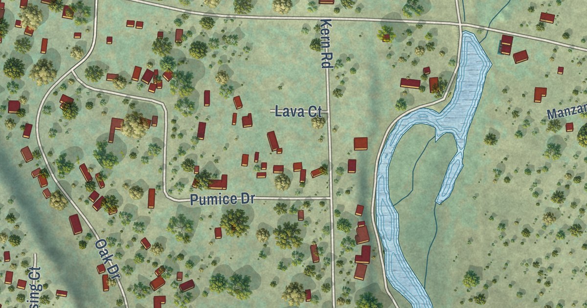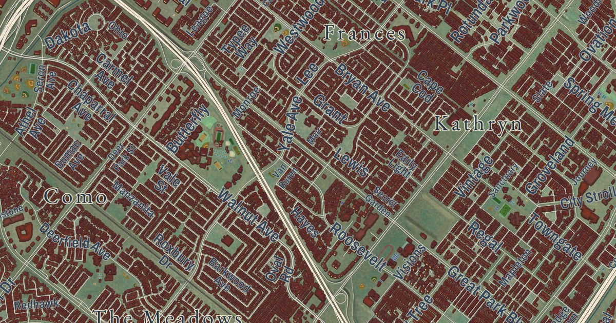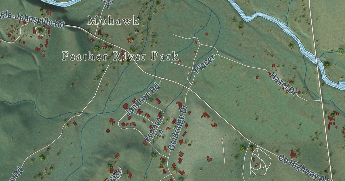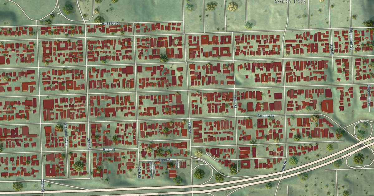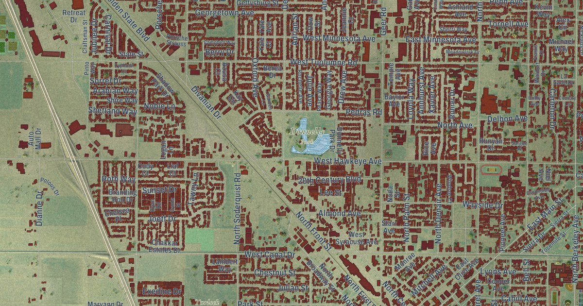
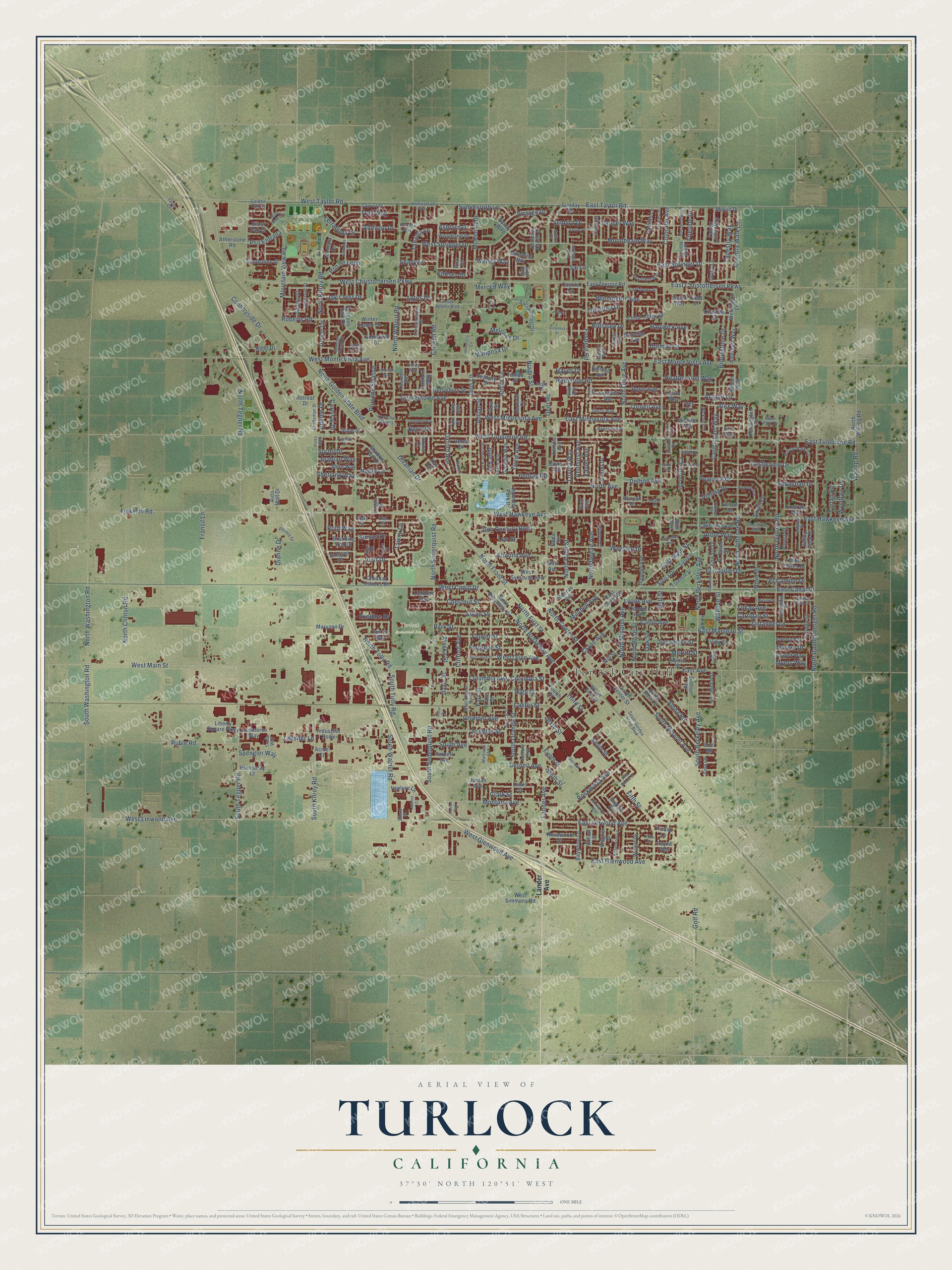
This beautifully detailed map of Turlock, California was created in 2026 using aerial imagery combined with modern topographical, census, street and landmark data. It’s a one-of-a-kind view of Turlock that combines accurate data with a vintage aesthetic. The map shows every building in its true location, many of the roads carry their names, and the shaded topographic relief shows the shape of the land.
Explore an aerial view of Turlock, California
On the map you’ll find Turlock City Hall, Donnelly Park, Gemperle Fields, and Turlock Memorial Park, along with North Berkeley Avenue, West Christoffersen Parkway, East Springer Drive, East Main Street, South Berkeley Avenue, Merced Way, Country Walk Lane, Golf Road, and more. If you look closely you can even find your house accurately drawn in its correct location. Zoom in on the preview to look for yours.
Did you know this piece of Turlock, California history?
From the Stanislaus County History: "John W. Mitchell, a wealthy land speculator was the founder of Turlock."
Take a closer look at the Turlock map
Street and place names on the Turlock, California map
These names are printed on the map of Turlock, California.
Places: Turlock City Hall, Donnelly Park, Gemperle Fields, Turlock Memorial Park and Freitas Park.
Streets and roads: North Berkeley Avenue, West Christoffersen Parkway, East Springer Drive, East Main Street, South Berkeley Avenue, Merced Way, Country Walk Lane, Golf Road, North Center Street, Alex Way, North Golden State Boulevard, East Canal Drive.
More street names, A to Z
20th Century Boulevard, Abigail Lane, Acme Court, Adams Street, Addison Drive, Adrian Street, Ahlem Way, Alaska Street, Alex Circle, Almond Avenue, Alpha Road, Amberwood Lane, Amethyst Way, Andre Lane, Angelus Street, Annhurst Avenue, Anning Drive, Ansel Adams Boulevard, Aptos Drive, Arabian Way, Arbor Way, Arthur Mace Drive, Ashford Drive, Ashland Avenue, Atherstone Road, Atlanta Court, Auto Mall Drive, Azusa Court, Barbara Way, Baylor Avenue, Baywood Lane, Bell Street, Bennington Avenue, Berea Drive, Bernell Avenue, Berry Drive, Bethany Avenue, Blue Oak Court, Bothun Road, Boxwood Way, Branding Iron Drive, Brier Road, Bristol Park Circle, Brookstone Drive, Burman Drive, Cahill Avenue, California Avenue, Callisto Lane, Camellia Street, Campbell Way, Caprice Drive, Carleton Drive, Carmichael Way, Carnival Drive, Carrigan Street, Case Way, Castile Lane, Castleview Drive, Castor Street, Cedar Ridge Drive, Chakkar Estates Drive, Chandler Drive, Chelsea Place, Chestnut Street, Christine Way, Clark Street, Clifford Avenue, Cody Court, Colby Avenue, Colorado Avenue, Columbia Avenue, Columbia Street, Commerce Way, Cooper Avenue, Corello Street, Country Lane, Countryside Drive, Craftsman Street, Crane Avenue, Crowell Road, Cynda Street, Dancer Way, Davis Street, Delbon Avenue, Dels Lane, Dewar Lane, Dianne Drive, Divanian Drive, Donnelly Park Drive, Dow Street, Drew Avenue, Duquesne Way, East Avenue, East Christoffersen Parkway, East Glenwood Avenue, East Hawkeye Avenue, East Linwood Avenue, East Marshall Street, East Minnesota Avenue, East Monte Vista Avenue, East Olive Avenue, East Taylor Road, East Tuolumne Road, East Zeering Road, Edward Drive, Edwards Drive, Eighth Street, El Camino Drive, El Capitan Drive, Elena Court, Ellerd Drive, El Paseo Street, Emerald Way, Emily Street, English Avenue, Erin Way, Escondido Avenue, Estates Drive, Estrella Way, Exedine Drive, Falcon Crest Way, Farr Street, Ferreira Ranch Drive, Field Drive, Fifth Street, Fireside Drive, Florence Street, Flower Street, Forest Drive, Fosberg Road, Fourth Street, Franks Court, Fransil Lane, Fulkerth Road, Fullerton Drive, Gail Avenue, Garden Lane, Geer Road, Georgetown Avenue, Georgia Way, Gettysburg Street, Glimmer Lane, Golden Oak Court, Grillos Drive, Hammond Drive, Hartwick Avenue, Hayes Drive, Heartland Way, Heathernoel Way, Hedstrom Road, Heritage Way, High Street, Hillsdale Drive, Homestead Way, Honeycreeper Drive, Hotel Drive, Humphrey Court, Industrial Rowe, Ivory Lane, Jason Drive, Jeannie Court, Jefferson Street, Joett Drive, Jordan Avenue, Jubilee Drive, Julian Street, Julie Avenue, Kay Circle, Kellogg Avenue, Kensington Court, Kevin Way, Kirksey Drive, Lambert Way, Lander Avenue, Lane Street, La Paloma Street, La Salle Drive, Lassiter Lane, Lee Street, Leffler Place, Lewis Street, Lial Court, Liberty Square Parkway, Logan Lane, Loyola Way, Lyons Avenue, Manzanita Way, Mariposa Drive, Marlee Drive, Martinez Street, Maryann Drive, McKenna Drive, Meadowlark Drive, Melones Drive, Merlin Drive, Merritt Street, Michael Way, Mill Street, Mira Flores Drive, Mission Street, Mitchell Avenue, Monroe Avenue, Montana Avenue, Montara Drive, Moonbeam Way, Mountain View Road, Myers Way, Myrtle Street, Niagra Street, Nicklaus Drive, Nicole Court, Niel Avenue, Ninth Street, Noble Lane, Noda Street, North Avenue, North Broadway Avenue, North Broadway Street, North Clinton Road, North Daubenberger Road, North Denair Avenue, North First Street, North Front Street, North Johnson Road, North Kilroy Road, North Minaret Avenue, North Olive Avenue, North Palm Street, North Quincy Road, North Rose Street, North Soderquist Road, North Tegner Road, North Tully Road, North Walnut Road, North Waring Road, North Washington Road, Novo Drive, Oak Crest Drive, Oak Street, Oleander Lane, Oppelt Way, Oxford Avenue, Palmer Drive, Park Street, Parnell Avenue, Payne Way, Peace Way, Peacock Drive, Pedras Road, Penn Avenue, Picard Lane, Pinto Way, Pioneer Avenue, Piro Court, Polous Drive, Porsche Strasse, Porsche Strauss, Porter Way, Potomac Avenue, Pso de Leon, Pso Entrada, Radcliff Way, Radford Way, Regis Street, Retreat Drive, Rice Avenue, Roberts Road, Rochelle Avenue, Rockwood Avenue, Rohrer Drive, Rosewood Drive, Roth Way, Ruble Road, Runyan Drive, Ryan Road, Ryker Court, Sacramento Drive, Sage Way, Sai Lane, Saint George Place, Sandstone Street, Sandy Way, Sargon Place, Seaborg Street, Seasons Park Drive, Sebastian Drive, Seranade Drive, Seventh Street, Shadow Park Drive, Shady Lane, Sherri Way, Shetland Way, Shire Way, Sierra Drive, Sierra Street, Sierra Vista Drive, Silver Oak Court, Simon Drive, Sixth Street, Smith Drive, Snowbird Drive, Sorrel Drive, South Avenue, South Center Street, South First Street, South Golden State Boulevard, South Kilroy Road, South Minaret Avenue, South Orange Street, South Rose Street, South Soderquist Road, South Tegner Road, South Tully Road, South Walnut Road, South Washington Road, Spengler Way, Spring Valley Drive, Spruce Street, Stanley Avenue, Starr Avenue, State Street, Summer Creek Drive, Summerton Lane, Sunbird Drive, Sunday Drive, Sunset Drive, Sunshine Way, Swan Park Drive, Sycamore Street, Tahama Lane, Tampa Street, Tapestry Way, Tartan Road, Tawny Lane, Taylor Court, Temple Avenue, Terralinda Drive, Third Street, Tokay Avenue, Tornell Avenue, Trade Way, Trail Way, Trinity Way, Typhoon Court, University Circle, Valley View Drive, Venture Lane, Vermont Avenue, Villa Court, Villanova Drive, Villa Woods Drive, Vintage Drive, Violet Way, Visions Drive, Wagner Drive, Waldorf Drive, Wallace Street, Waring Road, Wayside Drive, Wellington Lane, Wendy Way, West Avenue South, West Canal Drive, West Glenwood Avenue, West Hawkeye Avenue, West Linwood Avenue, West Main Street, West Minnesota Avenue, West Monte Vista Avenue, West Olive Avenue, West Olive Street, West Simmons Road, West Springer Drive, West Syracuse Avenue, West Taylor Road, West Tuolumne Road, Willert Drive, Willow Lane, Windsor Court, Winter Haven Drive, Woodland Drive, Wyndfair Drive, Xavier Avenue, Yale Avenue, Yale Court, Yosemite Street, Zina Lane, Zinfandel Lane.
See the Turlock, California map on a wall
The Turlock map as an 18 x 24 inch print in a black frame.

This beautifully detailed map of Turlock makes an attractive addition to your office, library, or den, and it can even be used to teach children the geography and history of the area. It also makes a great gift for someone who left Turlock and still calls it home. When you’re done exploring, click here to get your copy of the Turlock map.