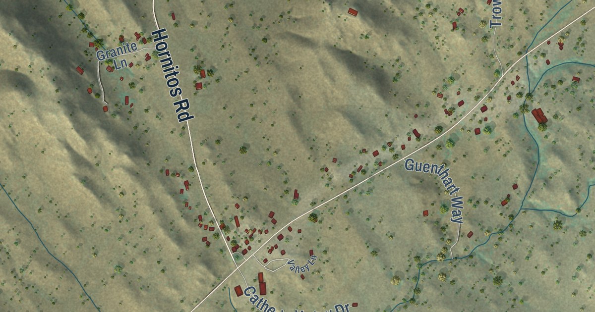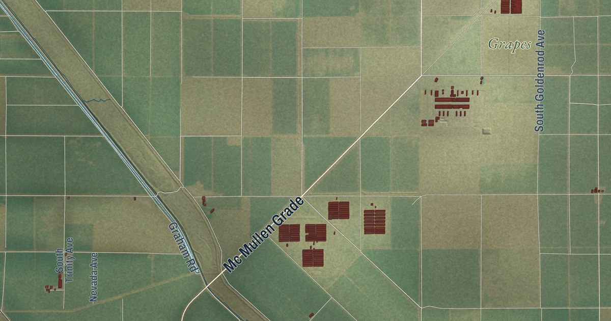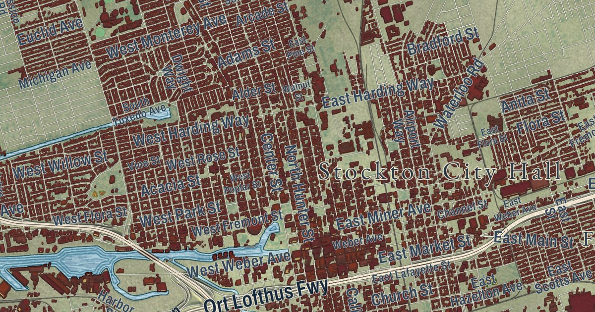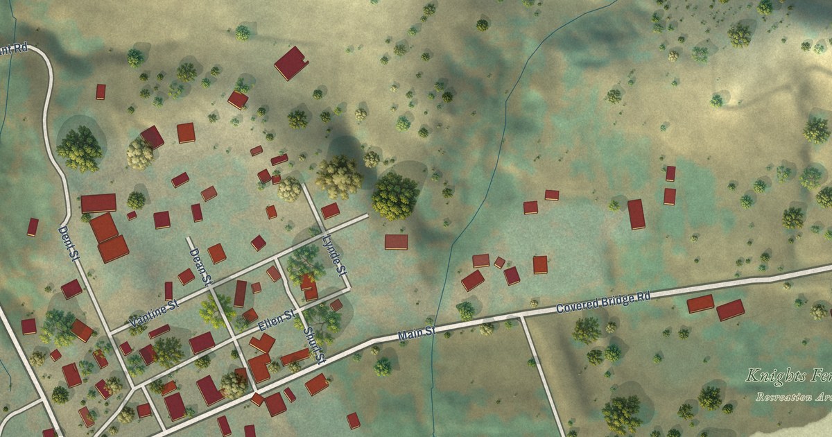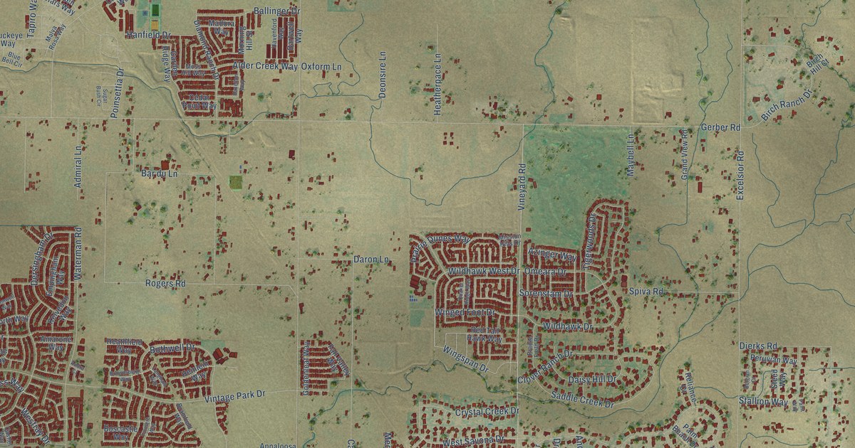
This beautifully detailed map of Vineyard, California was created in 2026 using aerial imagery combined with modern topographical, census, street and landmark data. It’s a one-of-a-kind view of Vineyard that combines accurate data with a vintage aesthetic. The map shows every building in its true location, many of the roads carry their names, and the shaded topographic relief shows the shape of the land.
Explore an aerial view of Vineyard, California
On the map you’ll find Coffing, along with Silver Meadow Way, Wildhawk West Drive, West Savona Drive, Azinger Way, Nakota Way, Parducci Way, Calvine Road, Florin Road, Gerber Road, Vintage Park Drive, Bradshaw Road, and more. If you look closely you can even find your house accurately drawn in its correct location. Zoom in on the preview to look for yours.
Did you know this piece of Vineyard, California history?
During the Gold Rush, miners traveled Jackson Road through this area on their way from Sacramento to the gold country. Once the road was built, growing grapes here began to pay. In 1875 George McMullen bought a 240 acre farm called Lizzie’s Vineyard. He set 85 acres in vines and grew strawberries as well. That’s from the Sacramento County Vineyard Community Plan.
Take a closer look at the Vineyard map
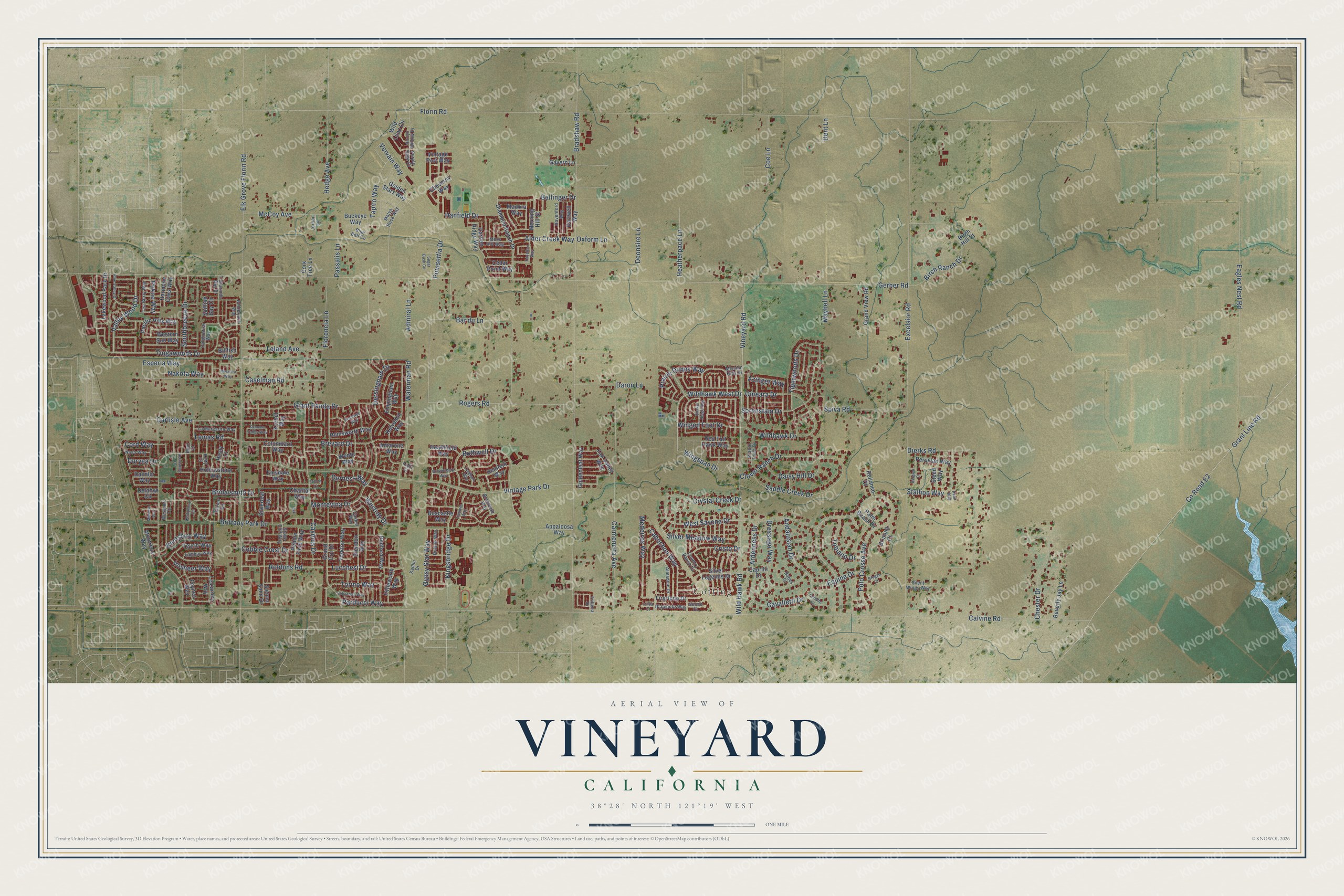
Street and place names on the Vineyard, California map
These names are printed on the map of Vineyard, California.
Places: Coffing.
Streets and roads: Silver Meadow Way, Wildhawk West Drive, West Savona Drive, Azinger Way, Nakota Way, Parducci Way, Calvine Road, Florin Road, Gerber Road, Vintage Park Drive, Bradshaw Road, Elk Grove Florin Road.
More street names, A to Z
Admiral Lane, Alder Creek Way, Almadine Drive, Amarone Way, Amberjack Way, Andalusian Drive, Appaloosa Way, Ardenness Drive, Arroyo Willow Drive, Audra Court, Babes Court, Ballinger Drive, Bar du Lane, Belgian Court, Benz Court, Beverly Jay Lane, Billfish Way, Birch Hill Court, Birch Ranch Drive, Blue Bell Circle, Boscastle Way, Bothwell Drive, Bramfield Way, Bramwell Way, Brevard Drive, Brianna Court, Bridalsmith Drive, Brittany Park Drive, Brogan Court, Brownsberg Way, Buckeye Way, Caballo Court, Cabochon Way, Caprilli Drive, Carlisle Avenue, Carmencita Avenue, Caselman Road, Cashel Way, Cavalletti Drive, Caymus Drive, Cedar Point Way, Chantal Way, Chester Drive, Cheverny Way, Clover Ranch Drive, Cobble Crest Drive, Coe Lane, Colombard Way, Cord Way, Cork Tree Lane, Country Ranch Drive, County Road E2, Cristo Drive, Crystal Creek Drive, Daimler Way, Daisy Hill Drive, Darien Circle, Daron Lane, Dartwell Way, Delahye Circle, Dent Lane, Deonsire Lane, Derbyshire Circle, Dersingham Drive, Diamond Ranch Drive, Diamonte Way, Dierks Road, Dolphinfish Way, Dressage Way, Durness Way, Duryea Drive, Eagles Nest Road, Elnora Court, Empingham Way, Emsdale Way, Equine Drive, Esperia Way, Excelsior Road, Fall Valley Way, Finmere Way, Firsrtone Drive, Fittleworth Way, Florencia Lane, Foynes Way, Garden Ridge Way, Gavern Lane, Geode Court, Giant Panda Drive, Glendon Way, Goldenleaf Way, Golden Stars Way, Grand Cru Drive, Grand View Road, Grant Line Road, Gypsy Star Way, Hanfield Drive, Harmony Oaks Way, Havenford Way, Hazelton Way, Healy Court, Heatherpace Lane, Heathfield Way, Hedge Avenue, Heinlein Way, Helmsdale Drive, Hemsworth Way, Hollowstone Way, Inisheer Way, Izilda Court, Jordan Lane, Kadlin Drive, Kelty Court, Kelvedon Way, Kentshire Way, Kingsbridge Drive, Korbel Way, Lakewood Park Drive, La Margarita Way, Lambay Way, Langham Way, Leland Avenue, Lemas Road, Liscarney Way, Lucchesi Drive, Madora Way, Malva Rosa Way, Marmon Way, Maybell Lane, McCoy Avenue, Medeiros Way, Messara Way, Mission Hills Drive, Montevina Drive, Montreux Way, Morning Hill Street, Moss Hill Way, Nash Way, Omeara Drive, Oxform Lane, Pacific Hills Way, Paint Way, Palm Beach Drive, Passalis Lane, Pebble Field Way, Pekoe Way, Peruvian Way, Pine Valley Drive, Poinsettia Drive, Polo Crosse Avenue, Prairie Dunes Way, Prairie Field Drive, Purple Sage Court, Quaker Ridge Way, Redford Way, Red Tail Hawk Way, Reliance Court, Rivallo Way, Robbins Road, Rogers Road, Saddle Creek Drive, Sailfish Bay Circle, Sebastian Way, Sienna Sand Drive, Silent Wings Way, Silverleaf Way, Silver Legends Drive, Sonoma Valley Way, Sorenstam Drive, Southbreeze Drive, Spiva Road, Stallion Way, Steed Way, Stone Cliff Way, Sugar Bush Circle, Tamarindo Bay Drive, Tapiro Way, Tea Berry Way, Tevrin Way, Tigerwoods Drive, Tiogawoods Drive, Tobiano Drive, Torino Way, Tribeca Drive, Valley Wood Drive, Vervain Way, Vineyard Road, Vintage Port Way, Waterman Road, Wente Way, Western Sun Way, Westport Circle, Westray Drive, Wildhawk Drive, Wild Hawk Road, Wild Lilac Circle, Winged Foot Drive, Wingspan Drive, Yorkton Way.
See the Vineyard, California map on a wall
The Vineyard map as an 18 x 24 inch print in a black frame.

This beautifully detailed map of Vineyard makes an attractive addition to your office, library, or den, and it can even be used to teach children the geography and history of the area. It also makes a great gift for anyone with Vineyard roots. When you’re done exploring, click here to get your copy of the Vineyard map.