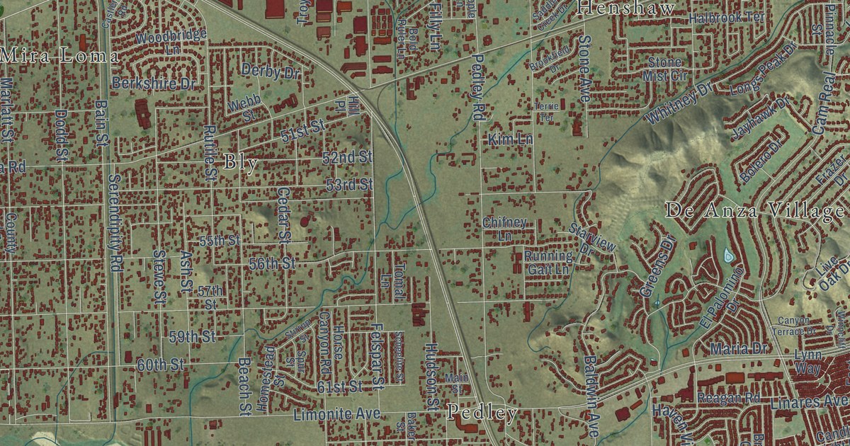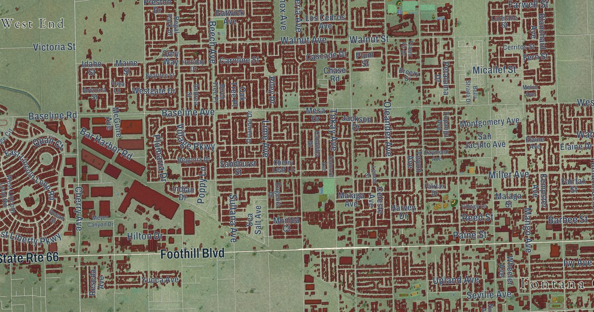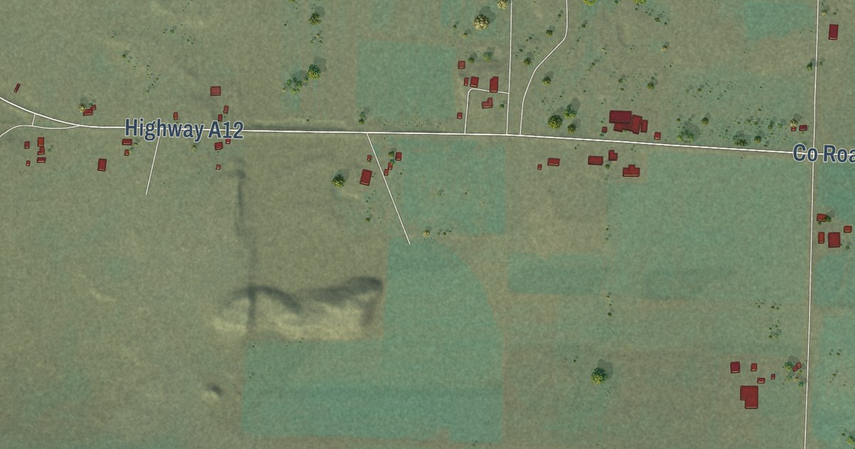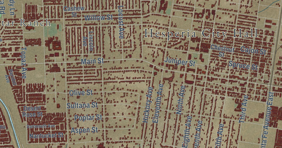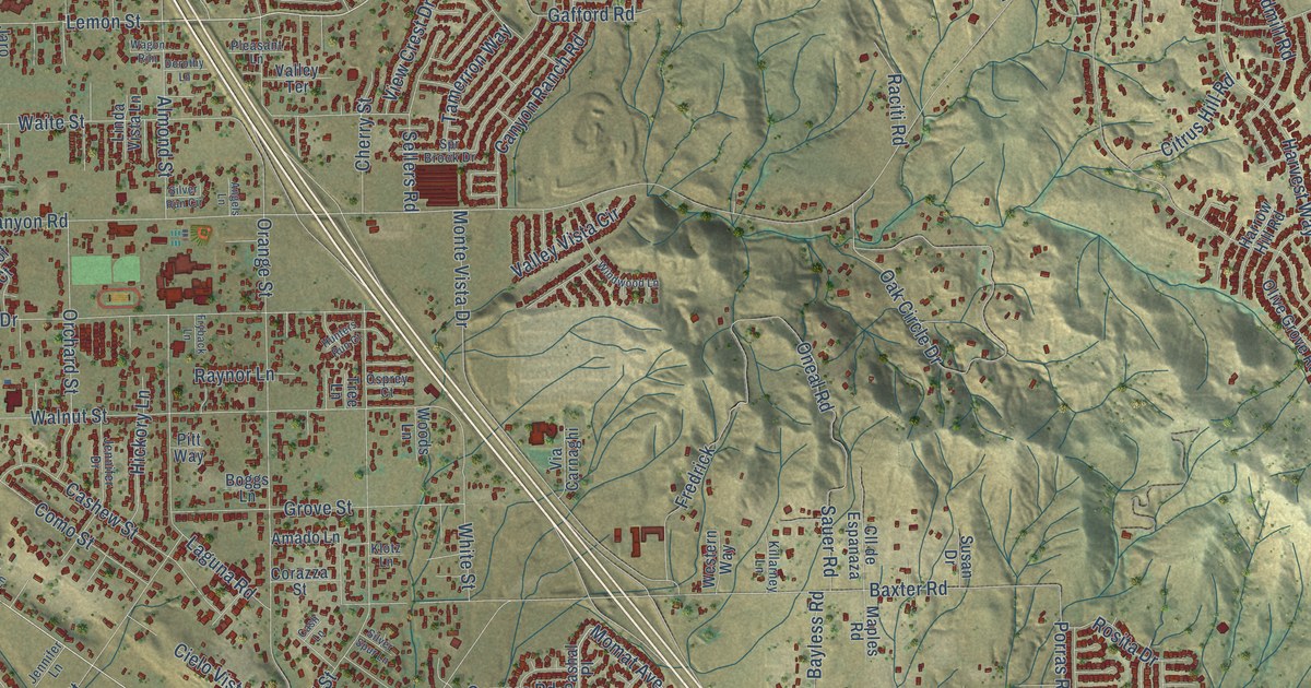
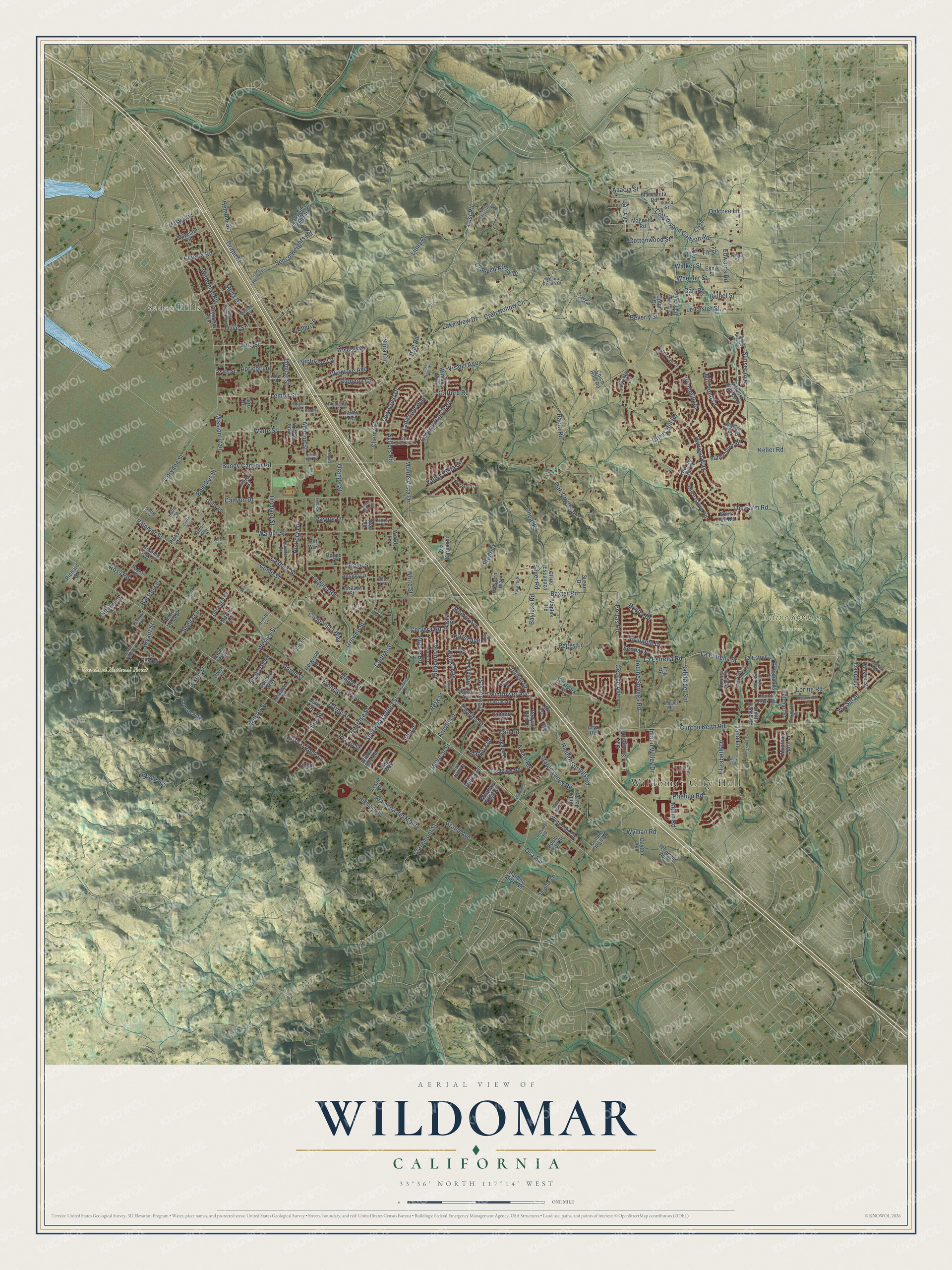
This beautifully detailed map of Wildomar, California was created in 2026 using aerial imagery combined with modern topographical, census, street and landmark data. It’s a one-of-a-kind view of Wildomar that combines accurate data with a vintage aesthetic. The map shows every building in its true location, many of the roads carry their names, and the shaded topographic relief shows the shape of the land.
Explore an aerial view of Wildomar, California
On the map you’ll find Wildomar City Hall, Sedco Hills, Cleveland National Forest, and Iodine Springs Reserve, along with Palomar Street, Lost Road, Lemon Street, La Estrella Street, Charles Street, Momat Avenue, Jan Avenue, Keller Road, and more. If you look closely you can even find your house accurately drawn in its correct location. Zoom in on the preview to look for yours.
Did you know this piece of Wildomar, California history?
From the City of Wildomar: "One of the first items of business at the new town site of Wildomar in 1886 was to build a grammar school."
Take a closer look at the Wildomar map
Street and place names on the Wildomar, California map
These names are printed on the map of Wildomar, California.
Places: Wildomar City Hall, Sedco Hills, Cleveland National Forest and Iodine Springs Reserve.
Streets and roads: Palomar Street, Lost Road, Lemon Street, La Estrella Street, Charles Street, Momat Avenue, Jan Avenue, Keller Road, Olive Street, Frederick Street, La Estrella Road, Bundy Canyon Road.
More street names, A to Z
Acacia Street, Agape Lane, Alameda del Monte, Almond Street, Amado Lane, Angels Lane, Apricot Lane, Arnett Road, Arnold Lane, Artemis Circle, Arya Road, Aster Drive, Autumn Oak Place, Avry Way, Banyan Rim Drive, Barley Lane, Batson Lane, Baxter Road, Bayless Road, Beecher Street, Bethel Street, Beverly Street, Billie Ann Road, Bilton Way, Blondon Court, Boggs Lane, Bonnie Jean Drive, Brillante Drive, Bryant Street, Bunny Trail, Butchart Street, Butterchurn Road, Cannery Road, Canyon Drive, Canyon Ranch Road, Carl Road, Cashew Street, Cash Lane, Cathy Lane, Catt Road, Celeste Way, Central Street, Cervera Road, Chadlyn Court, Cherry Street, Chert Lane, Chesterfield Lane, Chico Hills Road, Chloe Court, Cielo Vista Way, Citrus Hill Road, Claremont Street, Clinton Keith Road, Cll de Espanaza, Cloud Burst Road, Club Avenue, Como Street, Coral Rock Lane, Corazza Street, Corduroy Road, Corydon Street, Cottonwood Canyon Road, Cottonwood Street, Country Park Drive, Country Park Road, Covington Drive, Coyote Lane, Crab Hollow Circle, Crescent Avenue, Crest Meadow Drive, Crooked Arrow Drive, Crossroads Street, Darby Street, David Lane, Dayton Avenue, Delca Lane, Dial Road, Dorof Court, Dorothy Lane, Dunn Street, Durango Court, Edwards Road, Elberta Road, Elizabeth Lane, Elm Street, Elsinore Heights Drive, Enderlein Street, Ennis Street, Fir Street, Fox Den Road, Fredrick, Front Street, Fryback Lane, Gafford Road, George Avenue, Grand Avenue, Grape Street, Greyhawk Road, Griffith Lane, Grove Street, Gruwell Street, Guffy Lane, Hallie Street, Harrow Hill Road, Harvest Way, Harvest Way East, Haven Way, Hemple Street, Hickory Lane, Hidden Hollow Drive, Hidden Springs Road, Highland Street, Hixon Street, Homestead Lane, Hunters Run Court, Illinois Street, Inland Valley Drive, Iodine Springs Road, Ione Lane, Iris Lane, Jana Lane, Jaro Drive, Jefferson Avenue, Jennifer Drive, Jennifer Lane, Jerome Lane, Kagel Street, Kevin Road, Killarney Lane, Klotz Lane, La Estrella, Laguna Road, Lake View Drive, Leicester Street, Leslie Street, Lewis Street, Lexi Lane, Lime Street, Linda Vista Lane, Linny Court, Loquat Street, Lorena Lane, Loring Road, Madora Drive, Magnolia Road, Malaga Road, Manzanita Road, Maples Road, Maple Street, Marsh Lane, Mayes Lane, Mayhall Drive, McVicar Street, Meadow Ridge Lane, Mesa Drive, Miguel Road, Mill Pond Drive, Mission Trail, Monte Vista Drive, Muscatel Road, Mustang Spirit Lane, Navajo Springs Road, Navut Avenue, Norgrove Place, Oak Circle Drive, Oak Springs Road, Oaktree Lane, Olive Grove Road, Oneal Road, Orange Street, Orchard Street, Osa Avenue, Osprey Court, Owen Lane, Palm Avenue, Pasadena Street, Pashal Place, Pecan Street, Peggy Lane, Penrose Street, Pitt Way, Pleasant Lane, Porras Road, Prairie Road, Prielipp Road, Raciti Road, Rancho Mirlo Road, Raynor Lane, Refa Street, Rhinehart Street, Richard Street, Ricks Drive, Ridge Oak Road, Robert Street, Robin Scott Street, Rock Elm Drive, Rosita Drive, Ross Road, Ruth Avenue, Salida del Sol, Sauer Road, Seagrass Trail, Sedco Heights Drive, Sedco Heights Road, Sellers Road, Senna Drive, Shay Lane, Sheila Lane, Sheri Lane, Showut Avenue, Silver Run Circle, Silver Sage Way, Silver Spur Lane, Sima Circle, Smith Ranch Road, South Pasadena Street, Split Rail Road, Spr Brook Drive, Stable Lanes Road, Stage Road, Sunset Avenue, Susan Drive, Sweet Nectar Court, Sylvester Road, Tamerron Way, Teil Glen Drive, Temet Street, The Farm Road, Trail Ride Lane, Tranquil Lane, Tree Lane, Trig Road, Trillium Drive, Twinflower Avenue, Union Street, Upton Drive, Valley Terrace, Valley View Avenue, Valley Vista Circle, Verde Mesa Street, Verde Vista Way, Via Carnaghi, Via Sarah, Victorian Lane, View Crest Drive, Villa del Sol, Vine Street, Virgo Way, Vis del Agua, Wagon Rim, Wagon Train Drive, Waite Street, Walker Street, Walnut Street, Wanki Avenue, Webb Drive, Wesley Street, Western Way, Westpark Street, Wheeler Street, White Street, Wildomar Road, Willow Bay Road, Wilson Reade Court, Wilson Street, Winding Way, Windmill Road, Windsong Lane, Windtree Avenue, Windwood Lane, Wing Elm Circle, Winkler Street, Woodcreek Lane, Woods Lane, Woshka Lane, Wyman Road, Yamas Drive, Yucca Street.
See the Wildomar, California map on a wall
The Wildomar map as an 18 x 24 inch print in a black frame.

This beautifully detailed map of Wildomar makes an attractive addition to your office, library, or den, and it can even be used to teach children the geography and history of the area. It also makes a great gift for anyone with Wildomar roots. When you’re done exploring, click here to get your copy of the Wildomar map.