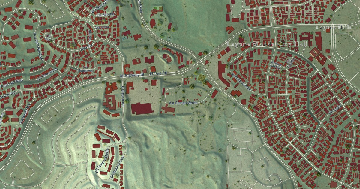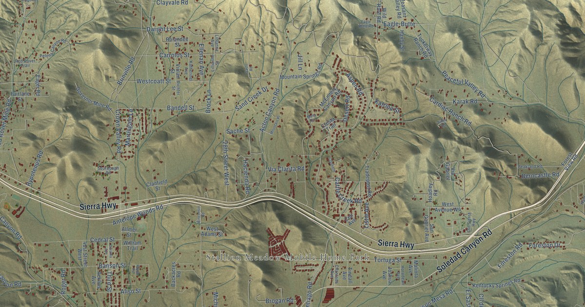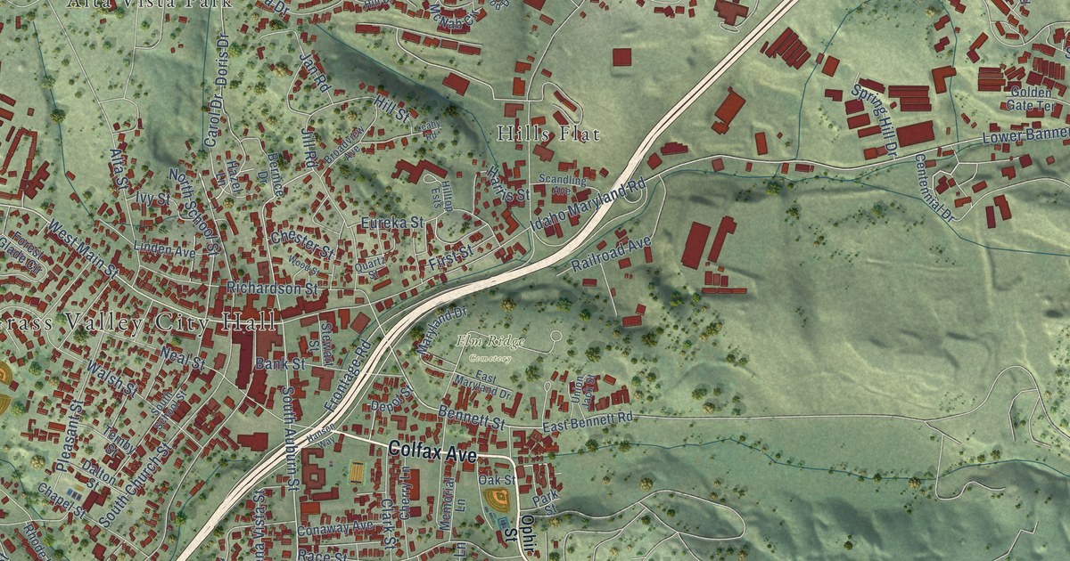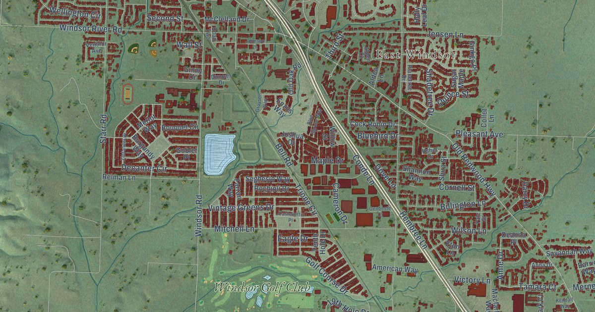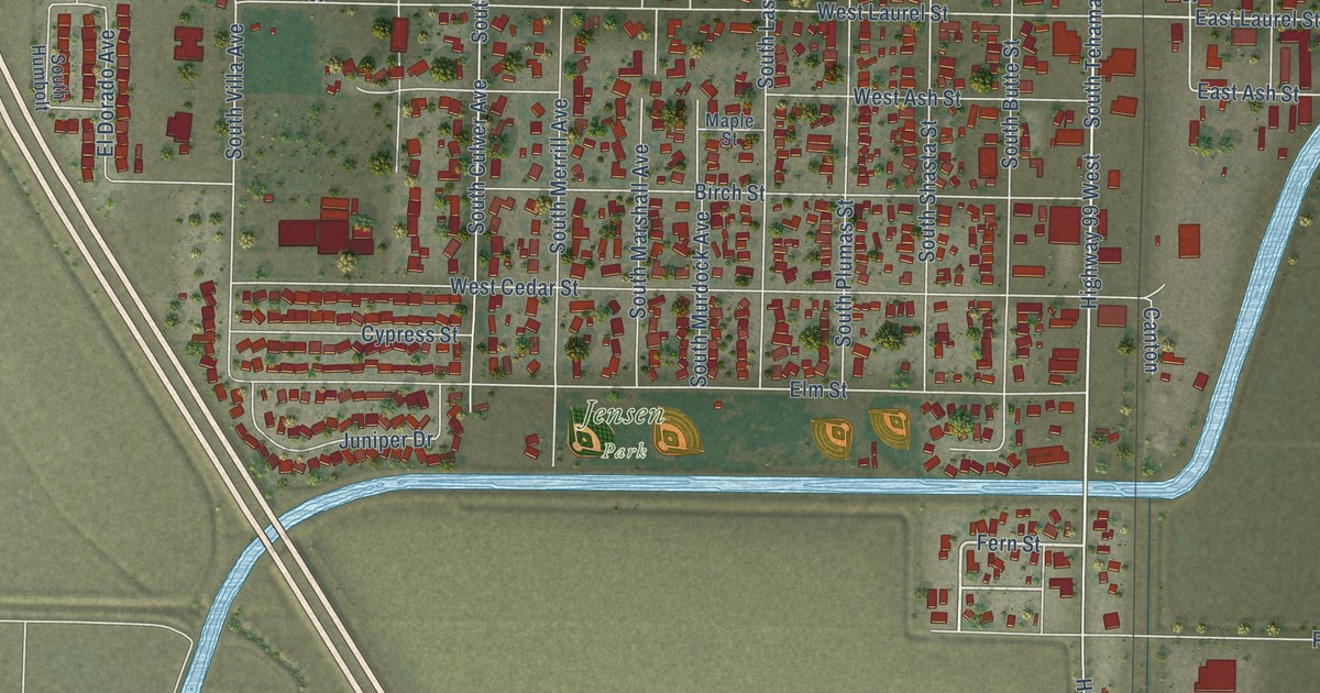
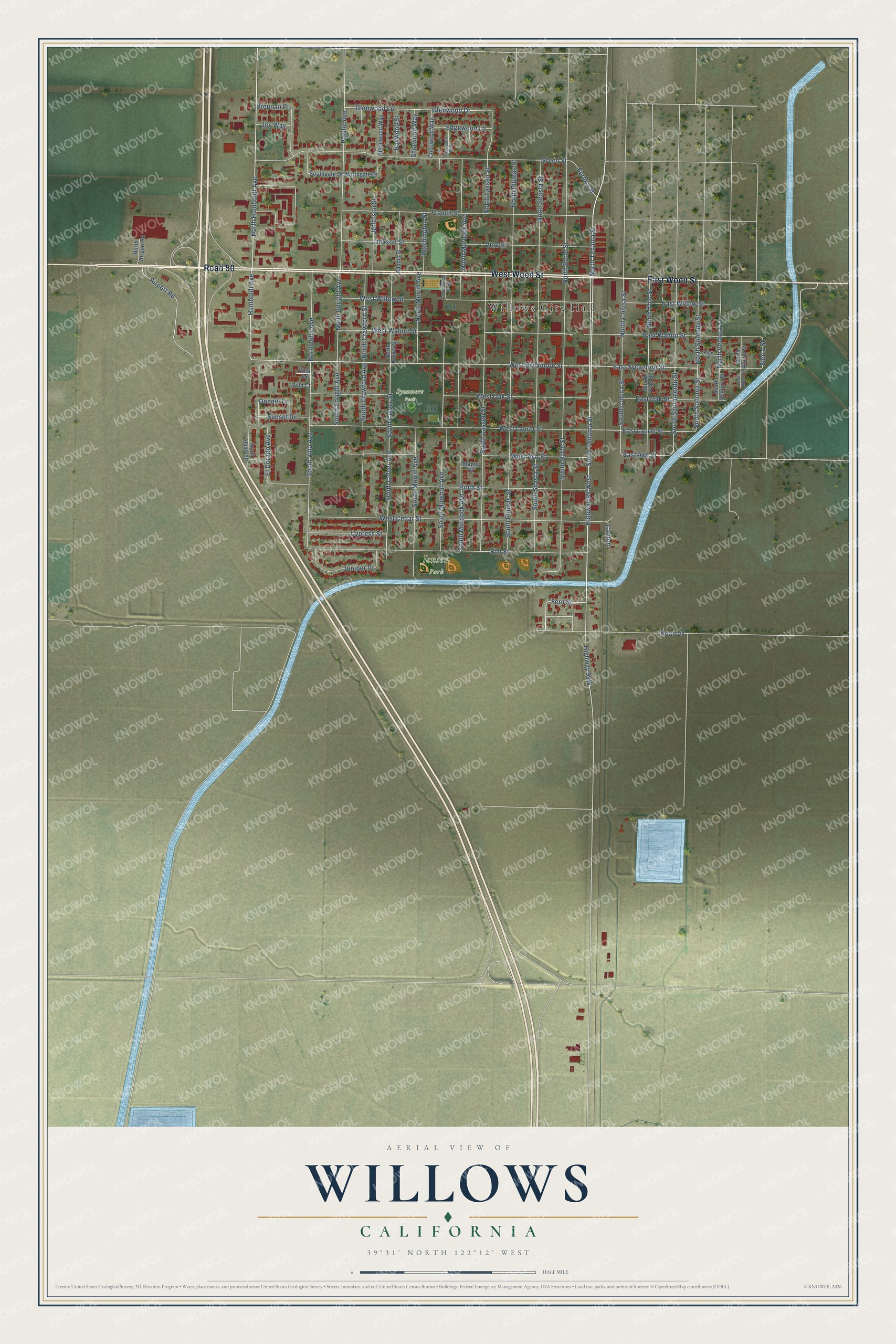
This beautifully detailed map of Willows, California was created in 2026 using aerial imagery combined with modern topographical, census, street and landmark data. It's a modern aerial view of Willows in Glenn County, California, that combines modern data with a vintage aesthetic. The roads feature printed names, and if you look closely you can find your exact house accurately shown in its correct location.
Explore an aerial view of Willows, California
On this map you'll find Willows City Hall, Jensen Park, Sycamore Park, East Wood Street, West Wood Street, Road 50, South Tehama Street, Highway 99 West, East Sycamore Street, North Tehama Street, Fern Street, West Sycamore Street, and more. Each red shape is a building, so zoom in on the preview and look for yours.
Here is a piece of Willows history, in the words of the record. The National Park Service puts it this way: "Willows is located in north-central California, roughly 100 miles north of San Francisco. The town is the Glenn County Seat, and is centered on what was, through the 1930s, a Southern Pacific main line."
Willows is a city in Glenn County. The Census Bureau counted 6,293 people here in 2020.
Take a closer look at the Willows map
Names on this map
These names are printed on this map.
Places: Willows City Hall, Jensen Park and Sycamore Park.
Streets and roads: East Wood Street, West Wood Street, Road 50, South Tehama Street, Highway 99 West, East Sycamore Street, North Tehama Street, Fern Street, West Sycamore Street, South Sonoma Street, Humboldt Avenue, North Humboldt Avenue.
More street names, A to Z
Adams Street, Airport Road, Applewood Way, Baywood Street, Birch Street, Brennan Place, Canton, Crestwood Way, Cypress Street, Donnie Lane, East Ash Street, East Laurel Street, East Oak Street, East Walnut Street, East Willow Street, Edgewood Lane, El Dorado Avenue, Elm Street, Eureka Street, French Street, Glenwood Drive, Glenwood Lane, Green Street, Jackson Street, Jefferson Street, Joy Way, Juniper Drive, Maple Street, North Airport Road, North Alpine Street, North Butte Street, North Colusa Street, North Crawford Street, North Culver Street, North Enright Avenue, Northgate Drive, North Lassen Street, North Marshall Avenue, North Merrill Avenue, North Murdock Avenue, North Plumas Street, North Shasta Street, North Sonoma Street, North Ventura Street, North Villa Avenue, North Yolo Street, Pacific Avenue, Pine Street, Road 53, Sherwood Way, Sierra Street, South Alpine Street, South Butte Street, South Colusa Street, South Crawford Avenue, South Culver Avenue, South Culver Street, South Enright Avenue, Southgate Drive, South Humbolt, South Lassen Street, South Marshall Avenue, South Merrill Avenue, South Murdock Avenue, South Plumas Street, South Sacramento Street, South Shasta Street, South Ventura Street, South Villa Avenue, South Yolo Street, Sunset Drive, Tamarack Way, Villa Court, Villa Square, Vine Street, Washington Street, West Ash Street, West Cedar Street, West Laurel Street, West Oak Street, West Walnut Street, West Willow Street.
Created by KNOWOL in 2026. The buildings are small red shapes, the roads carry their printed names, and shaded relief shows the shape of the land. The title panel reads "AERIAL VIEW OF WILLOWS CALIFORNIA" with 39°31' NORTH 122°12' WEST.
It suits a den, a classroom or a front hall, and it makes a gift for anyone with Willows roots. Open the preview and find the block you know. See sizes and frames for the Willows map.