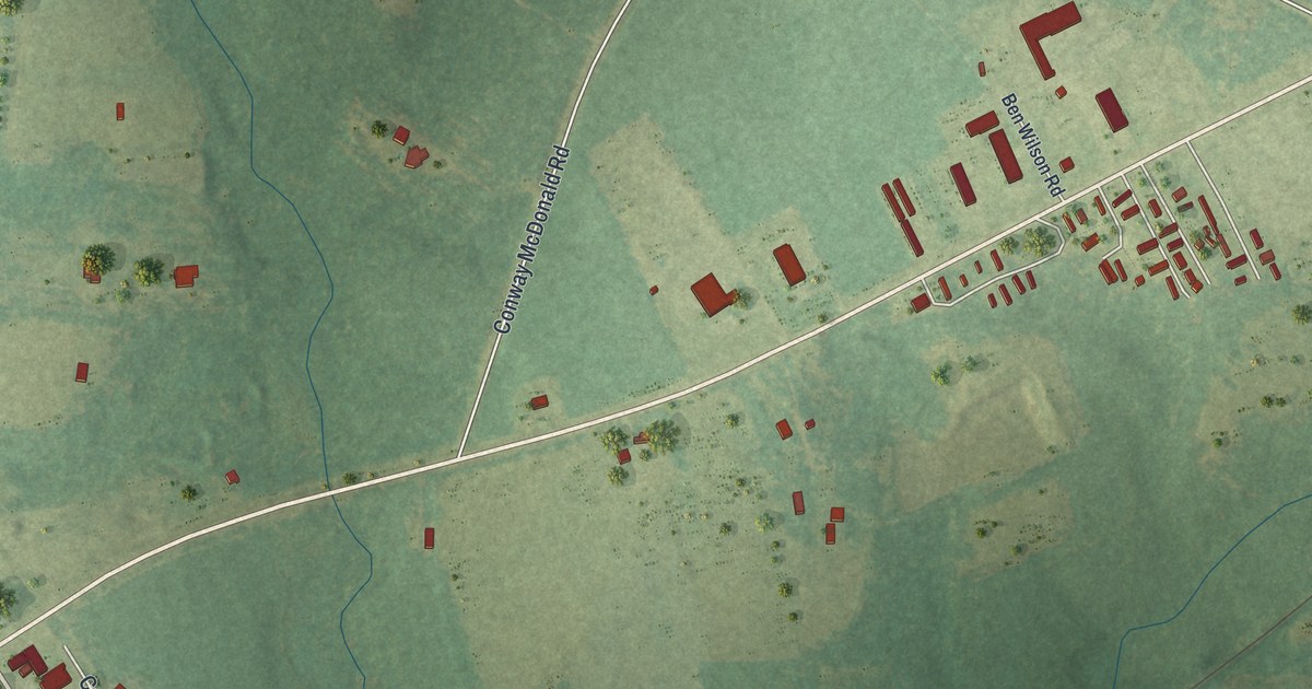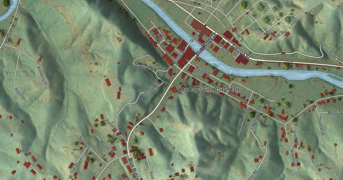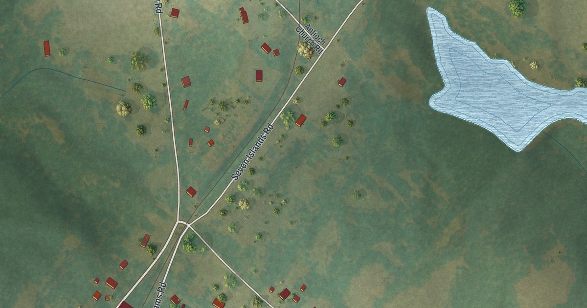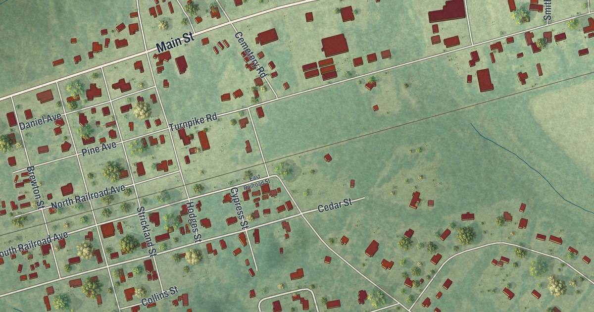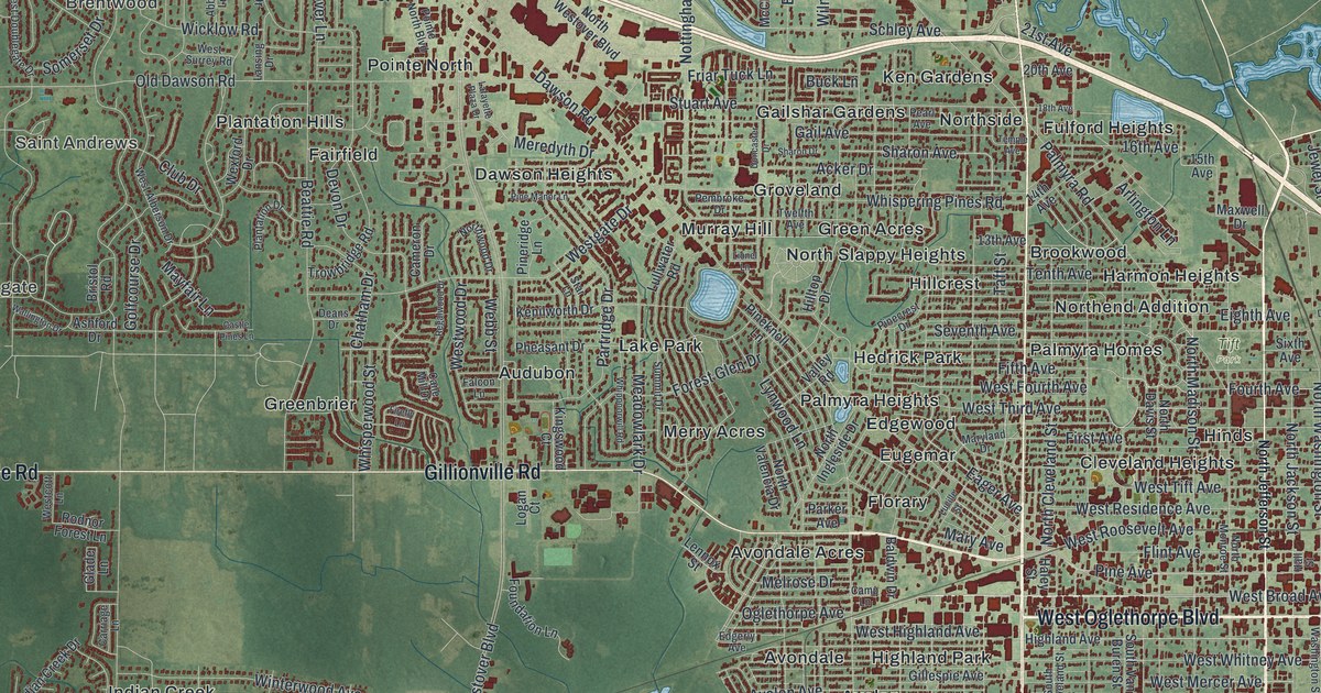
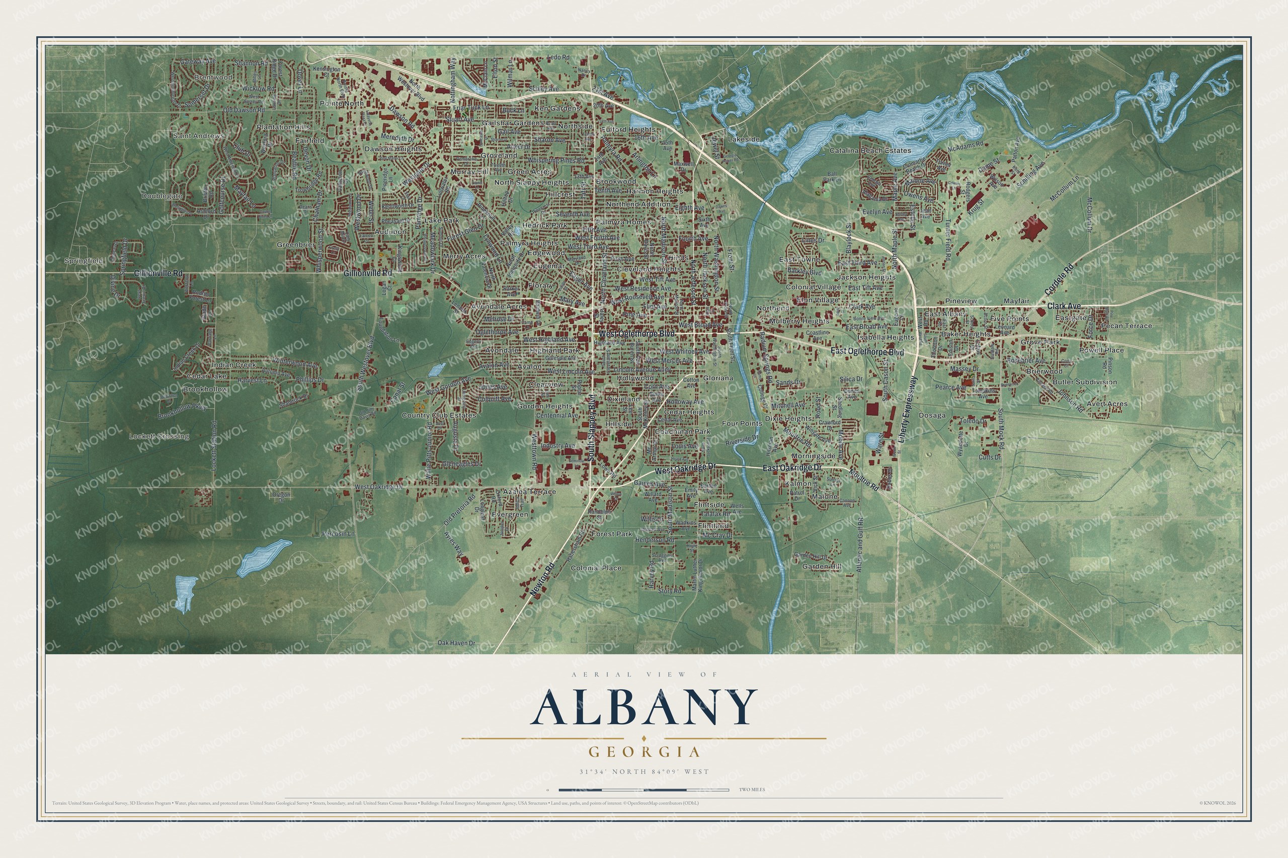
This beautifully detailed map of Albany, Georgia was created in 2026 using aerial imagery combined with modern topographical, census, street and landmark data. It’s a one-of-a-kind view of Albany that combines accurate data with a vintage aesthetic. The map shows every building in its true location, many of the roads carry their names, and the shaded topographic relief shows the shape of the land.
Explore an aerial view of Albany, Georgia
On the map you’ll find Springfield, Doublegate, Brentwood, Saint Andrews, Lockett Crossing, and Tift Park, along with Oglethorpe Boulevard, Oakridge Drive, Clark Avenue, Newton Road, Slappey Boulevard, and more. If you look closely you can even find your house accurately drawn in its correct location. Zoom in on the preview to look for yours.
Did You Know?
Albany was named for Albany, New York. That city took its name from the Duke of York’s Scottish title, Duke of Albany. The founders chose the name because both cities sit on major rivers at the head of navigation. Alexander Shotwell, a New Jersey Quaker, bought the site in 1836. Nelson Tift settled the town in October 1836, and it was incorporated in 1838. That’s from the U.S. Geological Survey place names records.
Take a closer look at the Albany map
Names on this map
These names are printed on this map.
Places: Springfield, Doublegate, Brentwood, Saint Andrews, Lockett Crossing, Tift Park, Audubon, Avalon, Avert Acres, Avondale, Avondale Acres, Azalea Terrace, Baker Heights, Brierwood, Brookhollow, Brookwood, Butler Subdivision, Catalina Beach Estates, Cedar Heights, Cedar Lake, Clearview, Cleveland Heights, Coachman Park, Colonial Place, Colonial Village, Country Club Estates, Dawson Heights, Dixie Heights, Dixieland, Dosaga, East Albany, East Towne, Eastgate, Edgewood, Elon Village, Eugemar, Evergreen, Fairfield, Five Points, Flintland, Flintside, Florary, Forest Park, Four Points, Fulford Heights, Gailshar Gardens, Garden Hill, Gloriana, Gordon Heights, Green Acres, Greenbrier, Grove Park, Groveland, Harmon Heights, Hedrick Park, Highland Park, Hillcrest, Hillside, Hinds, Hollywood, Indian Creek, Isabella Heights, Jackson Heights, Kalmon, Ken Gardens, Lake Park, Lakeside, Malone, Mayfair, Merry Acres, Morningside, Mulberry Heights, Murray Hill, North Slappy Heights, Northend, Northend Addition, Northside, Palmyra Heights, Palmyra Homes, Pecan Terrace, Pineview, Plantation Hills, Pointe North and Powell Place.
Streets and roads: East Oglethorpe Boulevard, West Oakridge Drive, West Oglethorpe Boulevard, East Oakridge Drive, Clark Avenue, Newton Road, South Slappey Boulevard, Gillionville Road, Liberty Expressway, Cordele Road, South Mock Road, Johnson Road.
More street names, A to Z
13th Avenue, 14th Avenue, 15th Avenue, 16th Avenue, 18th Avenue, 20th Avenue, 21st Avenue, Abbey Lane, Acker Drive, Acorn Street, Alabama Drive, Arlington Lane, Ashford Drive, Atlantic and Gulf RR, Augusta Drive, Autumn Avenue, Avalon Avenue, Ayres Way, Baldwin Drive, Ball Park Lane, Barkley Boulevard, Barton Avenue, Beattie Road, Blaylock Street, Bonny View Avenue, Brierwood Drive, Bristol Road, Brookhollow Parkway, Buck Lane, Burke Avenue, Cameron Drive, Camp Lane, Canal Street, Cane Mill Drive, Cannon Avenue, Carriage Lane, Castle Pines Lane, Cedar Avenue, Centennial Avenue, Chateau Drive, Chatham Drive, Club Drive, Coastline Avenue, Cody Court, College Drive, Colquitt Avenue, Corn Avenue, Cotton Avenue, Cowles Lane, Crawford Drive, Cromartie Beach Drive, Cutts Drive, Dame Street, Dawes Avenue, Dawson Road, Deans Drive, Devon Drive, Divine Drive, Dobbs Drive, Doncaster Drive, Dover Lane, Dunes Avenue, Eager Avenue, East Broad Avenue, East Road, East Third Avenue, East Tift Avenue, Edgerly Avenue, Edison Drive, Eighth Avenue, Elm Street, Elton Street, Emily Avenue, Estelle Street, Eugene Lane, Evelyn Avenue, Falcon Lane, Fifth Avenue, Firefly Lane, First Avenue, Flint Avenue, Force Drive, Forest Glen Drive, Forest Ridge Drive, Foundation Lane, Fourth Avenue, Friar Tuck Lane, Front Street, Gail Avenue, Gaines Avenue, Garden Hill Drive, Gateway Avenue, Georgia Avenue, Georgia Power Road, Gillespie Avenue, Glade Lane, Gleneagles Drive, Golfcourse Drive, Habersham Road, Haley Street, Hall Street, Harvest Lane, Harvey Road, Heard Avenue, Henderson Road, Highland Avenue, Hilltop Drive, Hilsman Avenue, Holloway Avenue, Hollowtree Drive, Hope Street, Indian Creek Drive, Indica Trail, Industry Avenue, Iveys Scenic Drive, Jean Avenue, Jewel Street, Joel Drive, Jones Avenue, Jordan Street, Juniper Drive, Kenilworth Drive, Kensington Court, Kent Street, Kingswood Court, Krug Street, Lafayette Plaza Drive, Lansing Drive, Ledo Road, Lee Street, Lennox Street, Leonard Avenue, Lincoln Avenue Alley, Lines Drive, Lionel Lane, Lockett Station Road, Loftus Drive, Logan Court, Longleaf Drive, Louis Avenue, Lowe Road, Lucille Street, Lullwater Road, Lynwood Lane, Malone Avenue, Maple Avenue, Martin Luther King Junior Drive, Mary Avenue, Maryland Drive, Massey Drive, Maxwell Drive, Mayfair Lane, McAdams Road, Mc Arthur Street, McClain Lane, McCollum Drive, McCollum Lane, Mc Cray Drive, Meadowlark Drive, Melrose Drive, Meredyth Drive, Mitchell Avenue, Mobile Avenue, Moultrie Road, Nancy Drive, North Cleveland Street, North Davis Street, North Front Street, North Ingleside Drive, North Jackson Street, North Jefferson Street, North Madison Street, North Maple Street, North Monroe Street, North Valencia Drive, North Washington Street, North Westover Boulevard, Northwood Drive, Nottingham Way, Oak Haven Drive, Oglethorpe Avenue, Old Dawson Road, Old Jim Davis Road, Old Pretoria Road, Oregon Drive, Owens Avenue, Oxford Road, Palmyra Road, Parker Avenue, Partridge Drive, Patrol Drive, Patton Avenue, Pearce Avenue, Pearl Avenue, Pembroke Drive, Percosin Lane, Pheasant Drive, Phillips Drive, Pine Avenue, Pine Bluff Road, Pinecrest Drive, Pineknoll Lane, Pine Manor Lane, Pineridge Lane, Pinson Road, Plantation Drive, Pointe North Boulevard, Poplar Street, Radium Springs Road, Rams Lane, Randolph Street, Regalwood Drive, Riverside Drive, Rodgers Street, Rodnor Forest Lane, Rood Street, Rosebrier Avenue, Sands Drive, Satilla Street, Schilling Avenue, Schley Avenue, School Street, Scroggins Avenue, Seedling Street, Seminole Lane, Seventh Avenue, Shamrock Drive, Shannon Road, Sharon Avenue, Sharon Drive, Shirley Avenue, Silica Drive, Sixth Avenue, Somerset Drive, South Cason Street, South Cleveland Street, South Front Street, South Jackson Street, South Madison Street, South McKinley Street, South Van Buren Street, South Washington Street, South Westover Boulevard, South West Road, Springfield Drive, Star Lane, Story Road, Stuart Avenue, Summit Drive, Sundale Road, Sunset Lane, Swift Street, Taft Street, Talafax Road, Temple Avenue, Tenth Avenue, Thornton Drive, Toledo Drive, Tompkins Avenue, Trowbridge Road, Turner Avenue, Turner Field Road, Twelfth Avenue, University Street, Urqhart Avenue, Valley Road, Vick Street, Vintage Road, Wadkins Avenue, Wallington Drive, Ware Street, Webb Street, Wells Avenue, West Alberson Drive, West Broad Avenue, Westcott Lane, West Doublegate Drive, West Fourth Avenue, Westgate Drive, West Gordon Avenue, West Highland Avenue, West Lincoln Avenue, West Mercer Avenue, West Residence Avenue, West Road, West Roosevelt Avenue, West Surrey Road, West Third Avenue, West Tift Avenue, Westtown Road, West Whitney Avenue, Westwood Drive, Wexford Drive, Whippoorwill Road, Whispering Pines Road, Whisperwood Street, Wicklow Road, Willard Avenue, Willie Pitts Junior Road, Willis Drive, Willow Drive, Wilmar Lane, Wilson Avenue, Wingate Avenue, Winterwood Avenue, Worth Street, Wyandotte Drive.
See it on a wall
The Albany map as a framed print. Swipe for more.


This beautifully detailed map of Albany makes an attractive addition to your office, library, or den, and it can even be used to teach children the geography and history of the area. It also makes a great gift for someone who left Albany and still calls it home. When you’re done exploring, click here to get your copy of the Albany map.