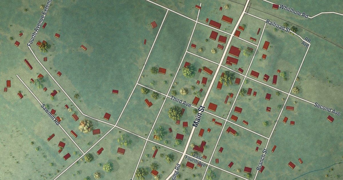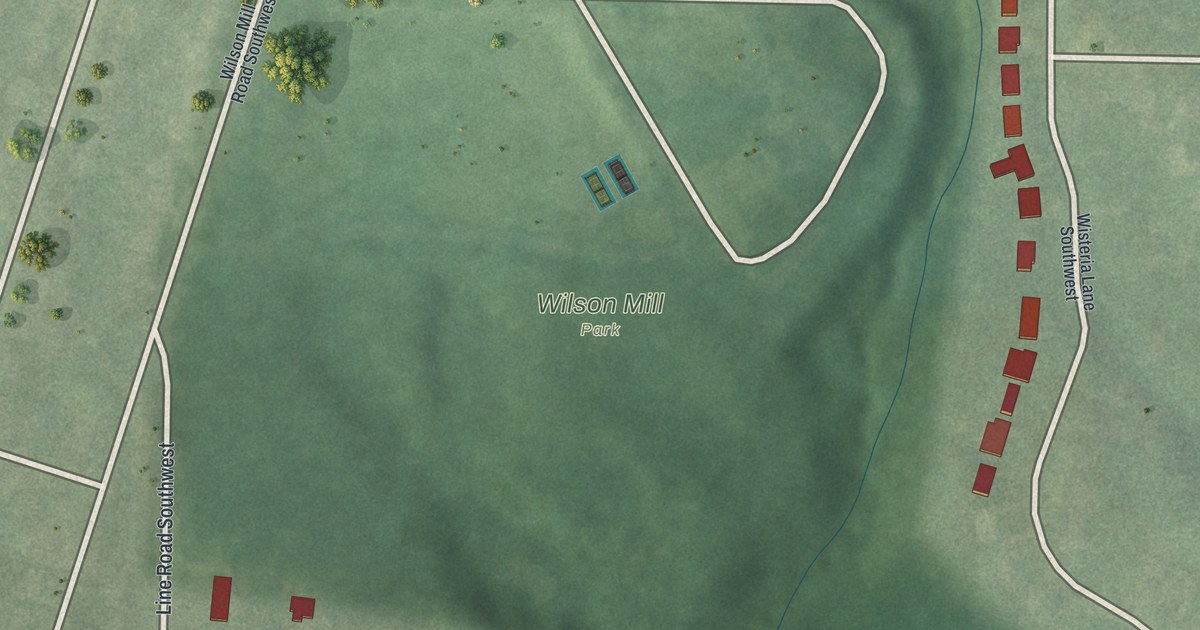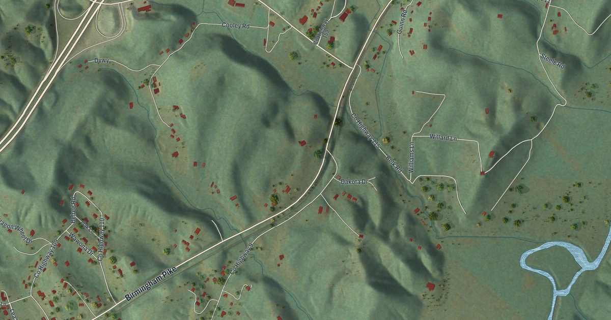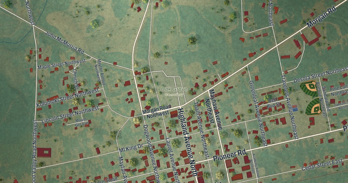
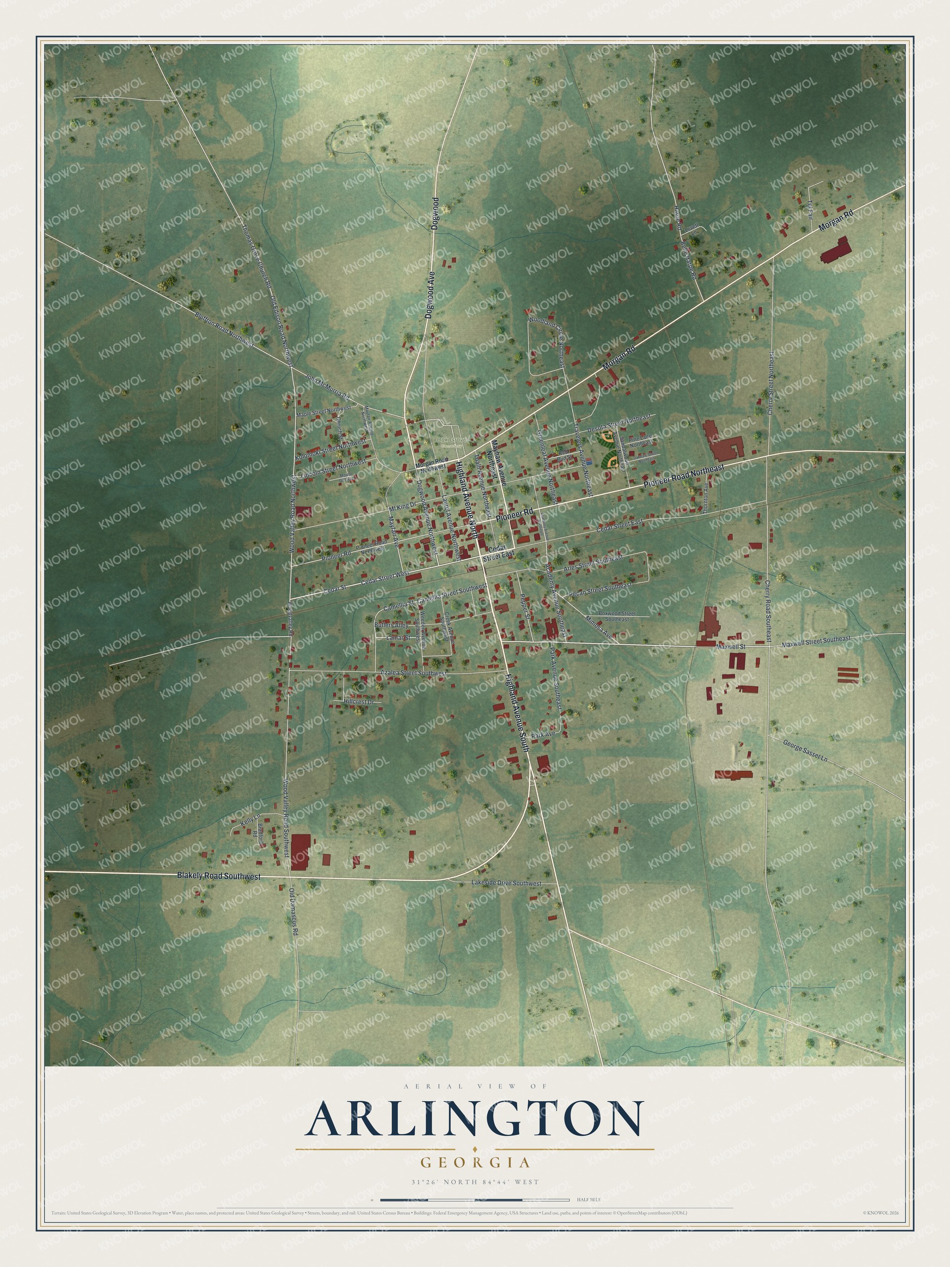
This beautifully detailed map of Arlington, Georgia was created in 2026 using aerial imagery combined with modern topographical, census, street and landmark data. It’s a one-of-a-kind view of Arlington that combines accurate data with a vintage aesthetic. The map shows every building in its true location, many of the roads carry their names, and the shaded topographic relief shows the shape of the land.
Explore an aerial view of Arlington, Georgia
On the map you’ll find Oak Grove Cemetery, along with Highland Avenue, Dogwood Avenue, Pioneer Road, Blakely Road, Morgan Road, and more. If you look closely you can even find your house accurately drawn in its correct location. Zoom in on the preview to look for yours.
Did You Know?
Arlington was founded in 1873 and chartered in 1881. It took its name from Arlington House in Virginia, which had been the home of General Robert E. Lee. The town served as the Calhoun County seat from 1923 to 1929.
Take a closer look at the Arlington map
Names on this map
These names are printed on this map.
Places: Oak Grove Cemetery.
Streets and roads: Highland Avenue South, Highland Avenue North, Dogwood Avenue, Pioneer Road Northeast, Pioneer Road, Blakely Road Southwest, Morgan Road, Dogwood, Cedar Street, Cedar Street West, Maxwell Street Southeast, Maxwell Street.
More street names, A to Z
Academy Avenue Northeast, Academy Avenue Southeast, Arles Street Southeast, Azalea Street Southwest, Belle Harpe Road, Bluffton Road Northwest, Boxwood Street Southeast, Bradford Road, Butlers Alley, Camellia Street, Camellia Street Southwest, Cedar Street East, Cherry Road Southeast, Cherry Street Northeast, Chruch Street, Creek Avenue Southwest, Desota Street Northeast, Dogwood Avenue Northwest, George Sasser Lane, Greenleaf Avenue Northeast, Harpe Road, Hillcrest Drive, John McMurria Road, Kelly Lane, Kolomoki Street Northwest, Lakeside Drive Southwest, Lamar Street, Laurel Avenue Northwest, Lincoln Street Northwest, Lovett Lane, Maple Street Northwest, Mayfair Avenue, Mayfair Avenue Northwest, Mayhaw Avenue Northeast, Mimosa Avenue, Ml King Drive, Morgan Road Northwest, Mount Gel Avenue, Oakdale Street Northeast, Old Damascus Road, Old Edison Road Northwest, Park Avenue, Park Avenue Southeast, Pecan Street Southeast, Pepper Street, Pine Lane Northeast, Pioneer Road Northwest, Red Bud Street, Sandalwood Avenue Northeast, Tel Fair, Thomas Grove Church Road, Thornton Avenue, Toalli Avenue Northeast, Travelers Avenue Northeast, Weeden Avenue Southwest, Woodland Circle Northeast, Woodvalley Road, Wood Valley Road Northwest, Wood Valley Road Southwest.
See it on a wall
The Arlington map as a framed print. Swipe for more.


This beautifully detailed map of Arlington makes an attractive addition to your office, library, or den, and it can even be used to teach children the geography and history of the area. It also makes a great gift for someone who left Arlington and still calls it home. When you’re done exploring, click here to get your copy of the Arlington map.