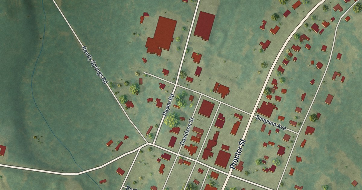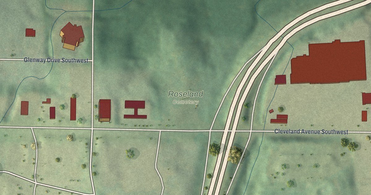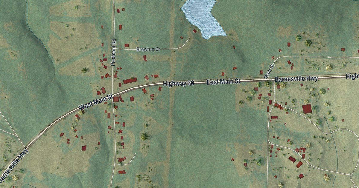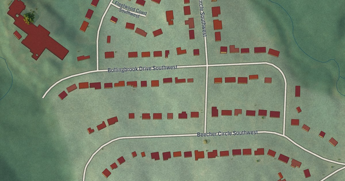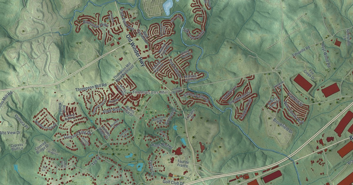
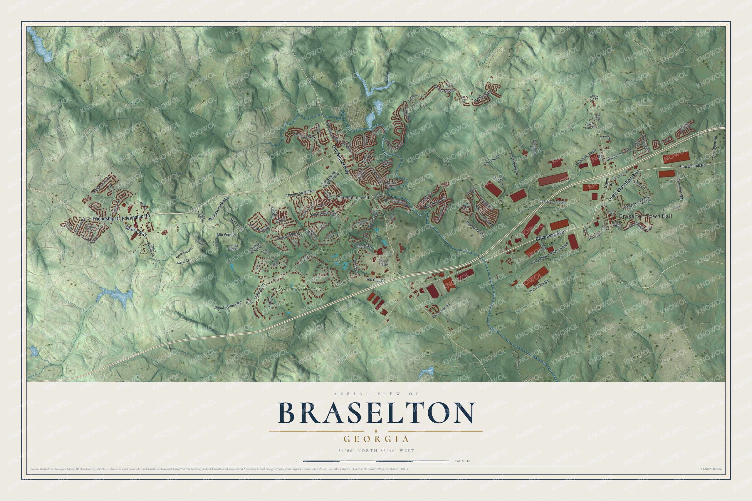
This beautifully detailed map of Braselton, Georgia was created in 2026 using aerial imagery combined with modern topographical, census, street and landmark data. It’s a one-of-a-kind view of Braselton that combines accurate data with a vintage aesthetic. The map shows every building in its true location, many of the roads carry their names, and the shaded topographic relief shows the shape of the land.
Explore an aerial view of Braselton, Georgia
On the map you’ll find Braselton Town Hall and Thompsons Mill, along with Broadway Avenue, Lewis Braselton Boulevard, Friendship Road, Old Winder Highway, and more. If you look closely you can even find your house accurately drawn in its correct location. Zoom in on the preview to look for yours.
Did You Know?
Harrison Braselton was a poor dirt farmer who married Susan Hosch, a rich planter’s daughter. He bought 786 acres north of the Hosch Plantation, and that land became Braselton. In 1989, actress Kim Basinger and other investors bought 1,751 acres of the town for 20 million dollars. Facing bankruptcy, they sold it in 1995 for 4.3 million dollars.
Take a closer look at the Braselton map
Names on this map
These names are printed on this map.
Places: Braselton Town Hall, Thompsons Mill and Chateau Elan Golf Club.
Streets and roads: Broadway Avenue, Lewis Braselton Boulevard, Friendship Road, Old Winder Highway, Friendship Drive, Sparta Way, Crimson King Drive, Allee Way, Adler Court, Thompson Mill Road, Golf Club Drive, Jesse Cronic Road.
More street names, A to Z
Alto View Drive, Autumn Flame Drive, Autumn Maple Drive, Bakers Farm Circle, Bald Cypress Drive, Bdc Parkway, Beaver Dam Road, Blanc Way, Bordeaux Way, Braselton Industrial Boulevard, Braselton Parkway, Broadmoor Drive, Brookfield Drive, Burgundy Drive, Catalpa Grv, Cave Terrace, Centennial Way, Chardonnay Trce, Climbing Rose Street, Cody Drive, Covered Bridge Drive, Cypress Bluff Lane, Davis Street, Democracy Drive, Derby Lane, Dunbar Road, Duncan Creek Road, East Lake Drive, Ednaville Road, Exchange Way, Ferncliff Trce, Fisk Falls Drive, Fleurie Lane, Forest Hill Drive, Fox Creek Drive, Franklin Street, Freedom Drive, Golden Eagle Parkway, Golf Club Way, Grand Hickory Drive, Green Street, Harrison Street, Hawthorne Path, Henry Street, Hoyt Wood Road, Ivy Court, Josh Pirkle Road, Kaival Lane, Keys Drive, Lagree Duck Road, Lake Park Drive, Landon Lane, Legends Drive, Legislative Lane, Lexington Way, Liberty Church Road, Liberty Park Drive, Lula Bridge Lane, Madison Avenue, Madrid Falls Road, Mayors Way, Miravista Way, Monta Vista Way, Mountain Oak Drive, Muskogee Lane, Nantucket Row, Napa Ridge Road, New Cut Road, New Liberty Way, Northern Oak Drive, Old State Route 124, Olney Falls Drive, Park Bend Avenue, Perimeter Circle, Piedmont Avenue, Pinot Noir Drive, Pleasant Oak Drive, Reisling Drive, Riverview Parkway, Rock Maple Drive, Sahale Falls Drive, Sam Snead Drive, Shumard Oak Drive, Sienna Valley Drive, Silk Tree Point, Silk Tree Pointe, Sipes Road, Sports Club Drive, Spout Springs Road, Springfield Lane, Summerbrook Road, Tee Drive, Tee Lane, Thompson Mill Road Northeast, Thompsons Mill Road, Tom White Road, Tour de France, Traminer Way, Tuscany Drive, Ventura Place, Villa Crest Drive, Wallace Falls Drive, Walnut Woods Drive, Weeping Oak Drive, Yaupon Trail, Zion Church Road.
See it on a wall
The Braselton map as a framed print. Swipe for more.


This beautifully detailed map of Braselton makes an attractive addition to your office, library, or den, and it can even be used to teach children the geography and history of the area. It also makes a great gift for someone who left Braselton and still calls it home. When you’re done exploring, click here to get your copy of the Braselton map.